 DoneThat
Burbage Edge, Derbyshire Peak District, England

Burbage Edge or Rocks Derbysgire Peak District.
Near the start of Burbage Edge, by the car park, looking south over Hathersage Moor, with the far end of the edge visible on the left of the horizon. The nearest flat topped hill on the right is Higger Tor and the one beyond is Carl Wark. About a half mile beyond Carl Wark is the Derbyshire border.
This location is actually part of South Yorkshire but it is within the Peak District National Park and so has been included here.
| Comment |
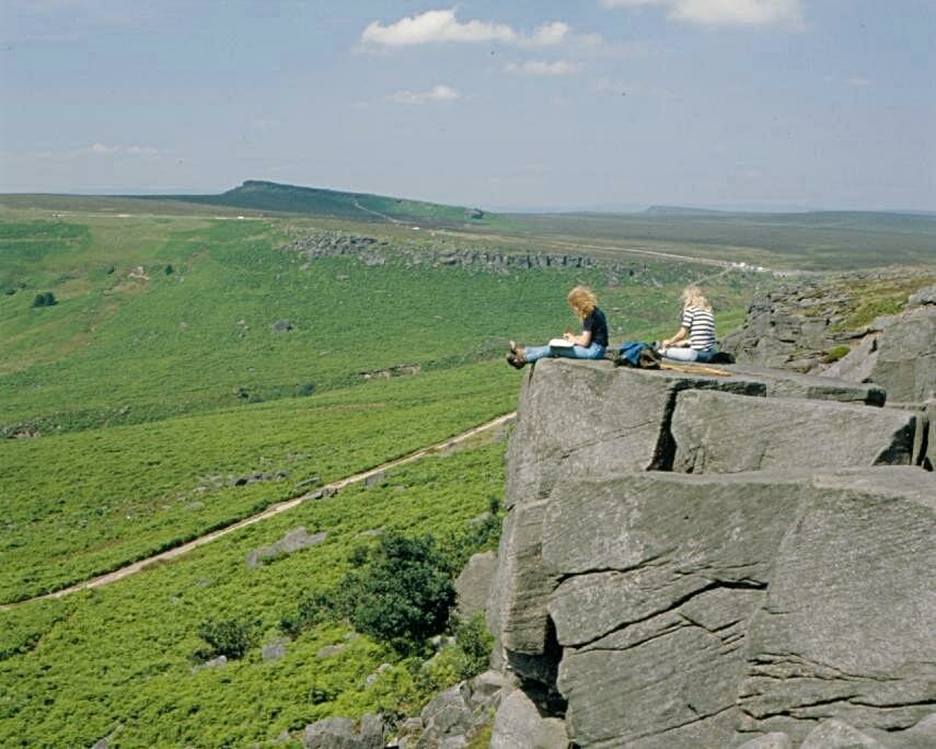
This is Burbage Edge looking north with the path along the bottom of the edge clearly visible here.
| Comment |

Near Burbage Edge looking west. This view is on the road from Hathersage to Burbage Edge looking out over the Hope Valley with Castleton at the far end.
Castleton, which is on the limestone, has a number of show caves open to the public.
| Comment |

Further along the road, towards Burbage Edge, from the previous picture.
This is looking out over Bamford moor with the high ground on the right being the edge of Hallam Moor.
| Comment |