 DoneThat

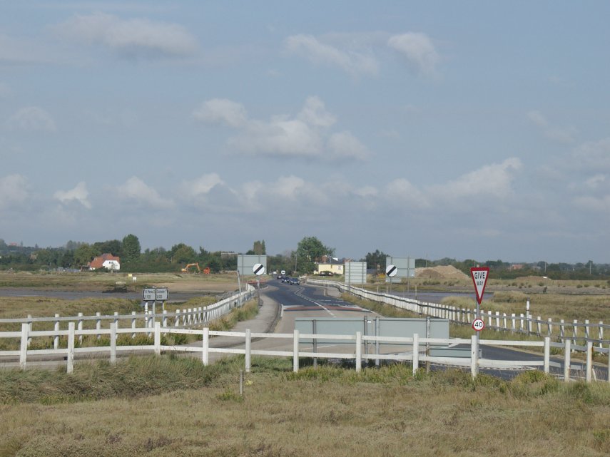
It would be typical and very ordinary if it wasn't for one small point.
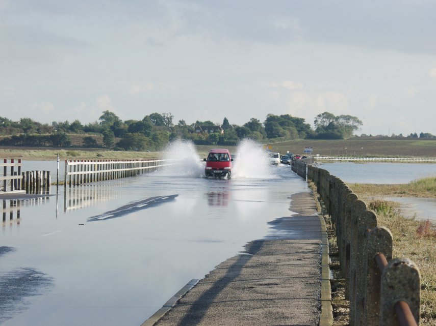
This road is the only road that serves Mersea Island on the Essex coast. All traffic going onto and off the island must use this road. However at high spring tides this road can be covered by the sea water and the island is cut off for an hour or more.
This picture was taken before the maximum high water level was reached and the vehicle has now passed the deepest point. Vehicles with a high ground clearance can still get through but it's safer to wait if you're unsure.
The maximum depth of water can reach 3 feet.

The white line at the centre of the road can be seen under the water in the bottom right-hand corner.
The bay on the left is actually a lay-by. Not a good place to park when a high spring tide is expected.
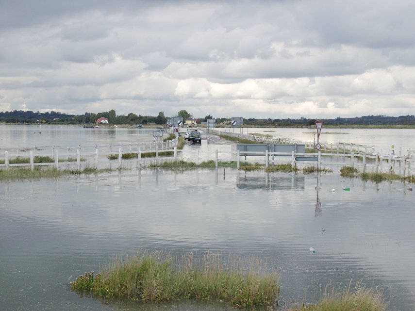
Note that there is a small raised section not covered by water where a few cars are waiting. Everywhere else is now flooded.
I am not aware of any other road in Great Britain which experiences conditions like these.
The water is now back in it's more usual channel, which lies just beyond the black and white road signs, and runs left and right of the fences on each side of the road.