 DoneThat
Routes up Snowdon, Caernarfonshire, Wales

There are two paths up Snowdon in this area. Both start at Pen-y-Pass on the North-East side of Snowdon and merge again at a later stage. The Miner's Track, crossing the lake below, is seen from the Pyg Track higher up.
The deep valley at the back is Nant Gwynant and the road on the other side is the A498 to Beddgelert.
| Comment | Location map |
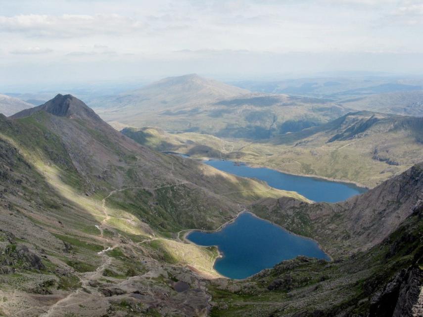
This view is from a point after both tracks have merged. The point at which they join can be seen a little way down the path.
The Miner's Track can be seen descending right to Glaslyn and thence to Llyn Llydaw below that whilst the Pyg Track descends along the slope of Crib y Ddysgl at a higher level.
| Comment |
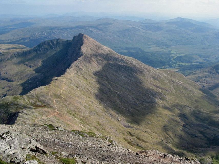
This shows the impressive cliffs of Y Lliwedd with a path running over the peak. This path can also be accessed from the Miner's Path.
The path ascending from the right is the Watkin path which starts in Nant Gwynant on Snowdon's South-East side.
| Comment | Location map |
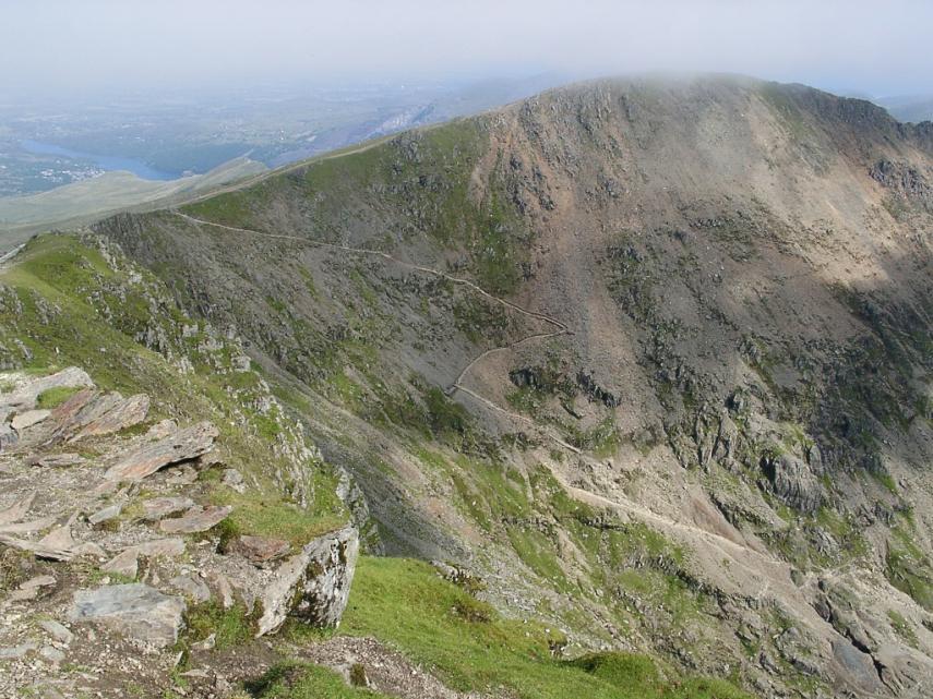
This shows the Pyg Track/Miner's Track zig-zagging up to the ridge. It may look very precarious but, as I don't have a terribly good head for heights and I have been up that path without trouble both in Summer and Winter, it can't be that bad.
| Comment |