 DoneThat
The Sugar Loaf, Abergavenny, Monmouthshire
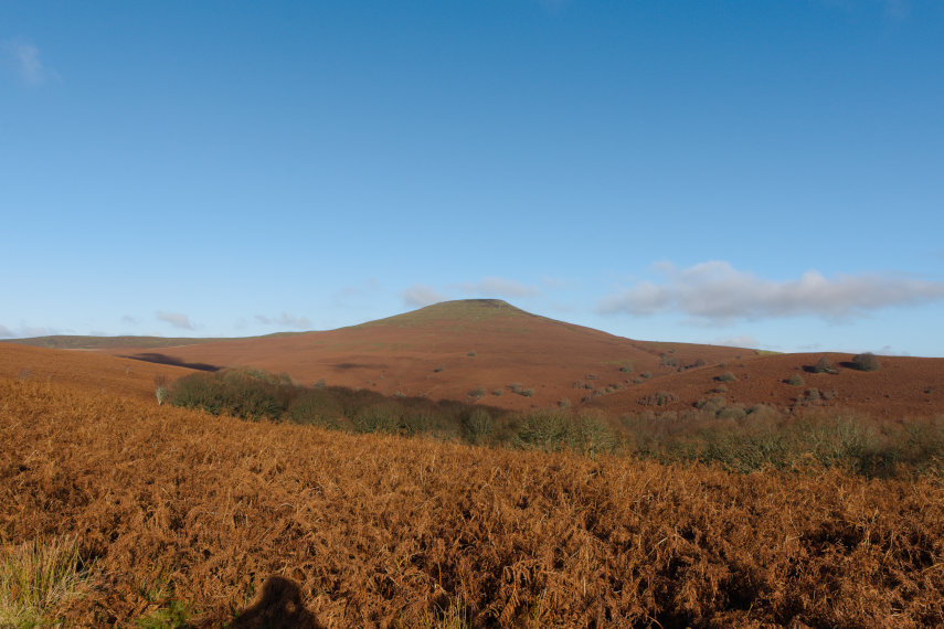
The Sugar Loaf is about 2-3 miles from Abergavenny and is the southernmost of the summit peaks of the Black Mountains with a height of 1,955 feet. The rocks are from the Old Red Sandstone in the Devonian period and are sedimentary. It is owned by the National Trust.
| Comment |
There are a number of free car parks around the Sugar Loaf and we used the car park on Llanwenarth which is one of the lower ridges on the Sugar Loaf.
The paths on the Sugar Loaf are usually obvious as shown in this picture with a good contrast between the green grass on the path and the brown bracken at this time of year (November).
| Comment |
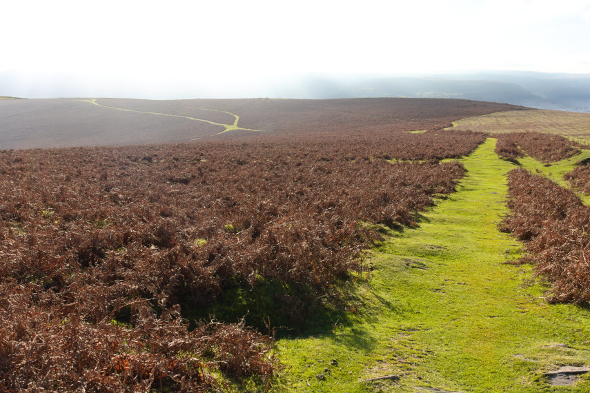
Looking back we can see the path that we used having started from the Llanwenarth car park over the horizon on the left of the picture.
| Comment |
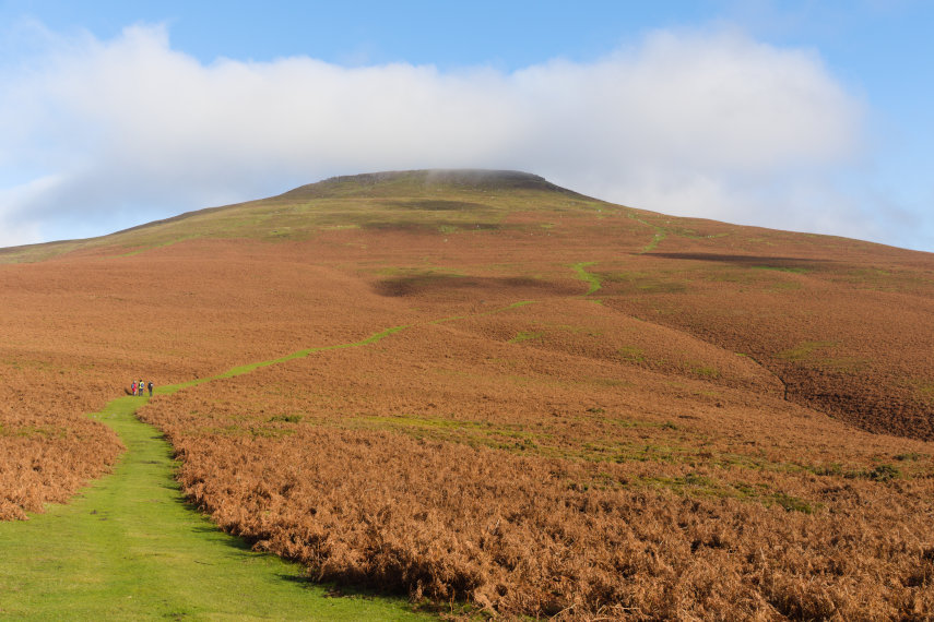
This is that same path looking towards the summit ridge. The path is easy going for a good portion of the distance but it starts getting less easy as it goes uphill.
| Comment |
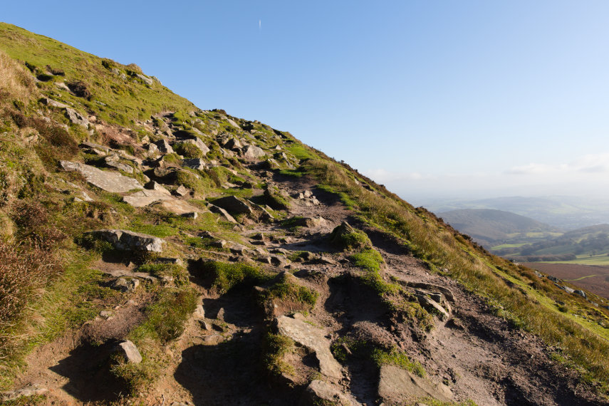
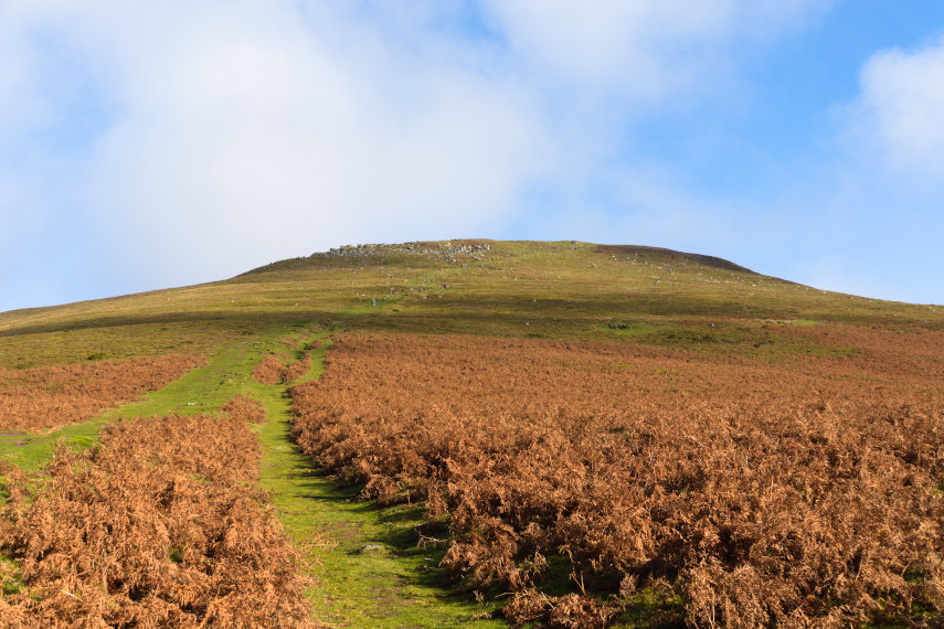
This final section of the path, as it goes diagonally up to the summit ridge, is a lot rougher than previously but it isn't difficult except that it requires more energy because it is now much steeper but look at that view to the right.
| Comment | More of the Sugar Loaf |