Up and Down and Round and About.
Two for the price of one! You lucky people!
Work on the house is still progressing satisfactorily and this coming week will be a significant stage as the scaffolding around the house is coming down. ![]()
We are, however, still managing to make a few trips and this time we did a half day walk followed a day later by a trip to Leominster ( pronounced Lemster ).
Trip 1. (Powys)
We walked from the top of Panpunton Hill at Knighton along the ridge to Cwm Sanaham Hill near Knucklas. We have walked up Panpunton Hill before and I even took a photograph of Knucklas Viaduct from the top but we didn't get anywhere near Cwm Sanaham Hill that time.
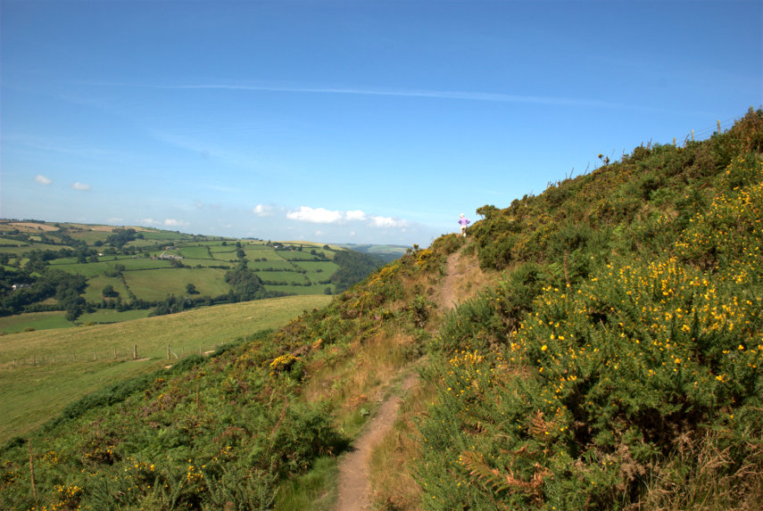
It was a fine warm day, which is unusual this summer ![]() , and we set off towards Cwm Sanaham Hill with Amanda in the lead; quite a bit in the lead actually (that's her on the skyline).
, and we set off towards Cwm Sanaham Hill with Amanda in the lead; quite a bit in the lead actually (that's her on the skyline).
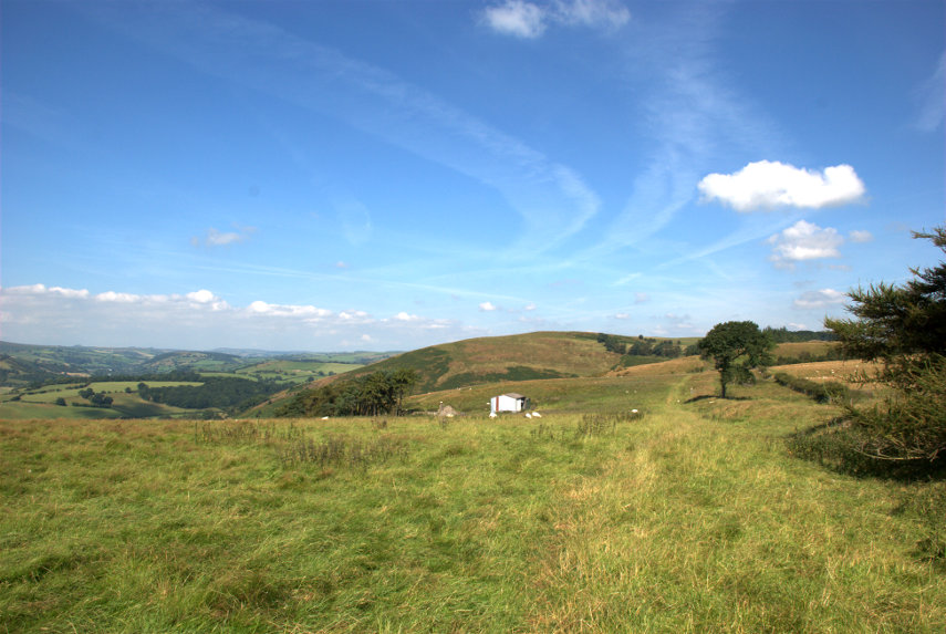
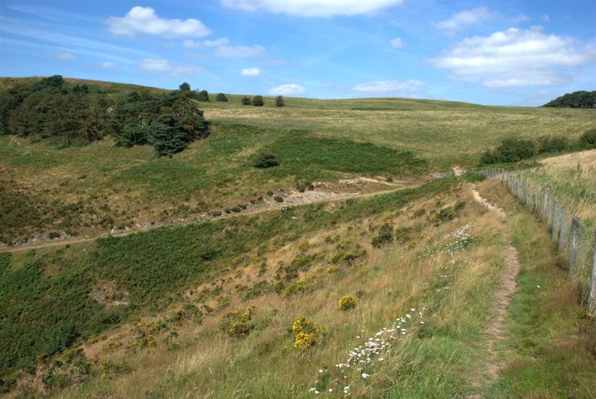
You can see that there is plenty of Gorse in flower at this time of year and you should be able to see that we are still going up. Then we get our first sighting of Cwm Sanaham Hill; the one dead ahead.
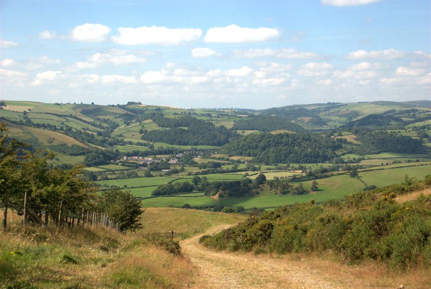
As we cross another path we can see Knucklas down below and if you look carefully you should be able to see the railway viaduct.
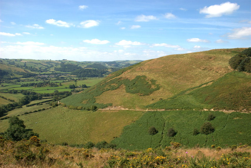
Cwm Sanaham Hill is getting nearer and, on the extreme right of the next picture, you can see our path curving round the edge of the trees just below the horizon.
We have been following undulating ground all the way along this route but this is the final undulation. We are now going downhill into a small valley and then we start our final climb along the path which passes just below the trees on the left.
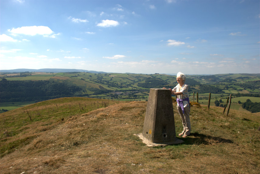
We finally reach the summit to be rewarded with some tremendous views and Amanda tries to stop the trigonometry point from falling over.
We didn't stop here for long as we were soon accosted by a big buzzy fly which we suspected was some sort of biting fly looking for a free meal and we didn't intend to supply it. So with much wild waving of arms we descended below the summit and, luckily, the fly didn't follow.
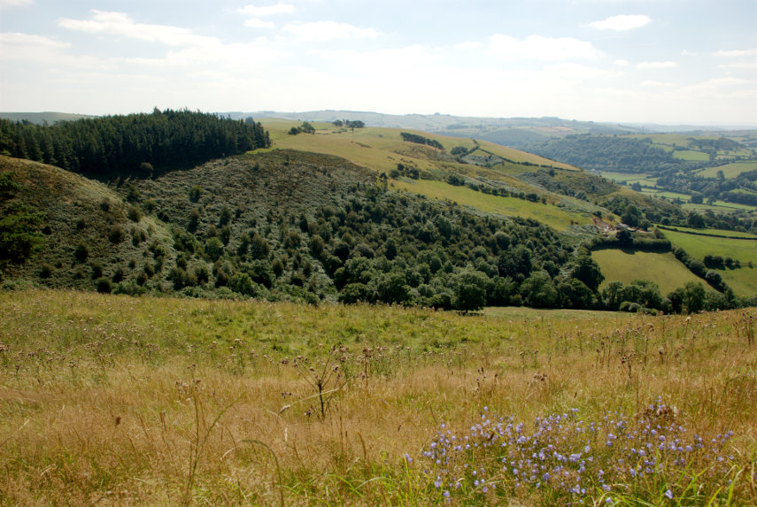
I took this photograph just below the top looking homeward as we set off back. The total distance travelled out and back was 4 miles and for most of that time the only sounds were sheep bleating in the distance and the breeze rustling in the trees. Wonderful!
We returned home without incident.
Trip 2. (Herefordshire)
We weren't able to go out the following day (building work y'know) but the day after we set off in the car to Leominster which is just under 30 miles from us. We hadn't been there before so we were looking forward to exploring.
The weather forecast for today was sunny and clear skies. There was, of course, about 80% cloud cover and little sun when we arrived and it stayed like that until the afternoon when the amount of sun did increase.
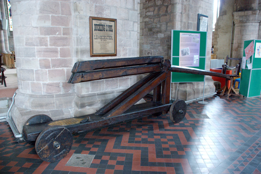
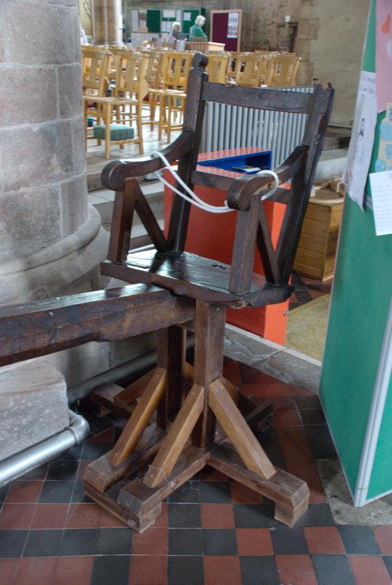
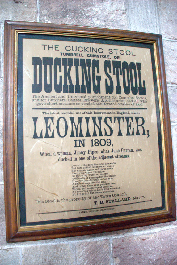
Our nearest point of interest was the church so we went there first. The church was once part of Leominster Priory, which no longer exists, and it was huge. There were three naves the earliest of which was Norman but there was also an interesting object now stored in the church.
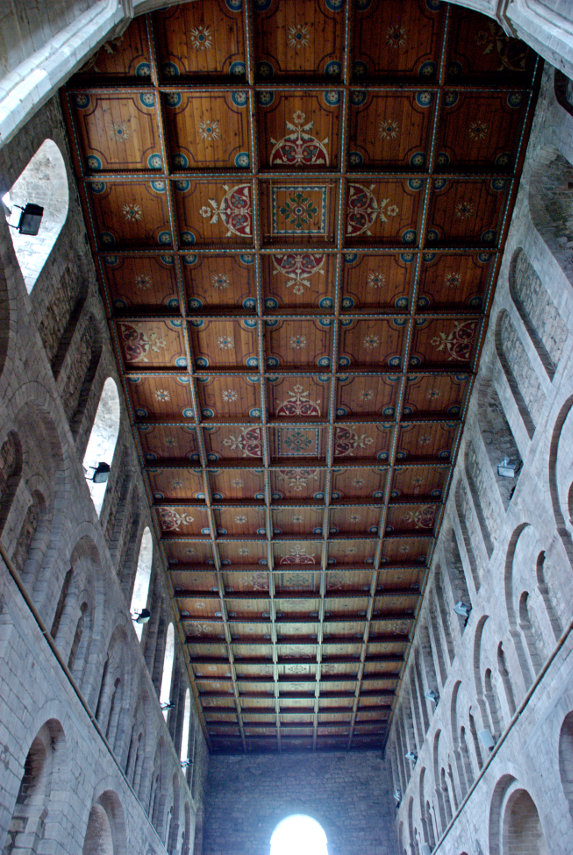
Although the church was Norman and was very large it didn't really have much of interest although the roof over the earliest of the three Naves was nicely decorated.
I didn't take any photographs of the exterior of the church because of the lack of sun and because we will go to Leominster again hopefully on a better day.
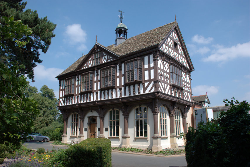
By this time it was actually getting near lunchtime so we found somewhere for lunch and after lunch, when the sun appeared, we wandered off to see Grange Court.
Built in 1633 it is the last surviving market house, built by John Abel a local master carpenter, which originally stood at the top of Broad Street and housed the weekly butter market, selling chickens, eggs, and butter. It was then known as the Butter Crosse.
By the mid nineteenth century the market hall was proving to be a traffic hazard so the building was dismantled and lay in pieces in a builder's yard until 1859 when the building was bought and then rebuilt on the park known as the Grange.
This is Broad Street.
Although it is perhaps wider than usual it's not that wide and I'm sure a building like Grange Court plonked in the middle of the road would have been a significant traffic hazard.
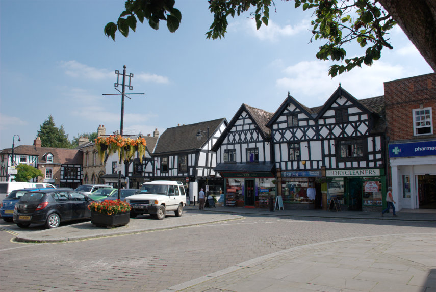
This view of Corn Street which is like a little square shows where we had our lunch in the Merchant's House. The Merchant's House is the black and white timber-framed house on the left-hand edge of the picture.
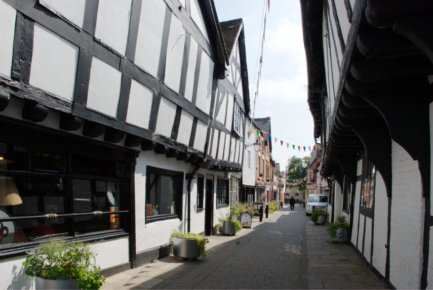
There is an alley running down the left-hand side of the Merchant's House which leads to Grange Court and in the centre of the picture you should be able to see a small gap in the buildings which is the entrance to a little lane called School Lane. This is School Lane:
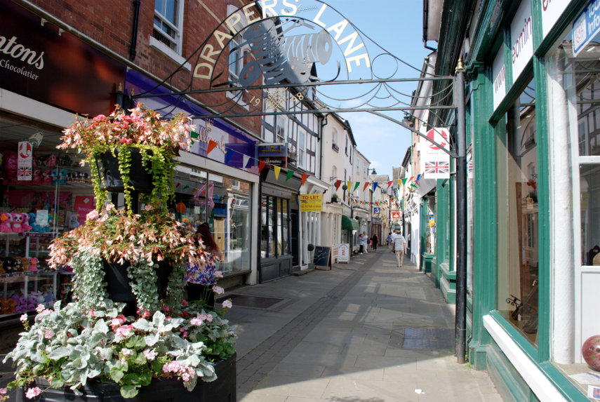
Another nice little lane is Drapers Lane.
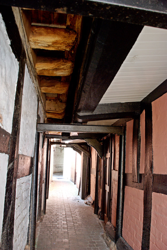
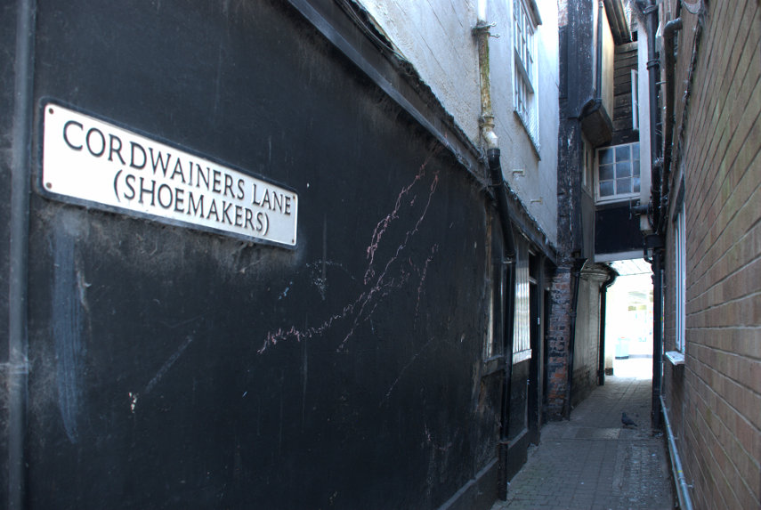
There were also a number of alleyways of which these are two:
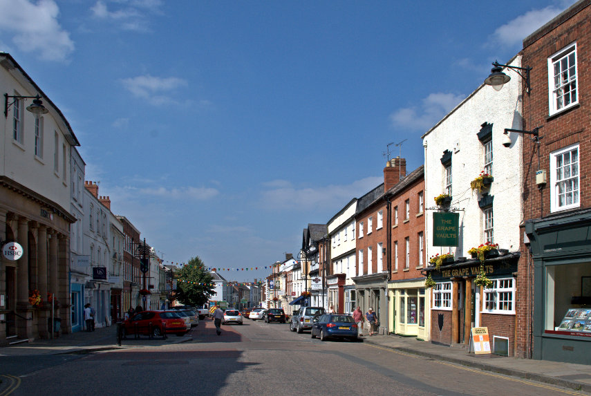
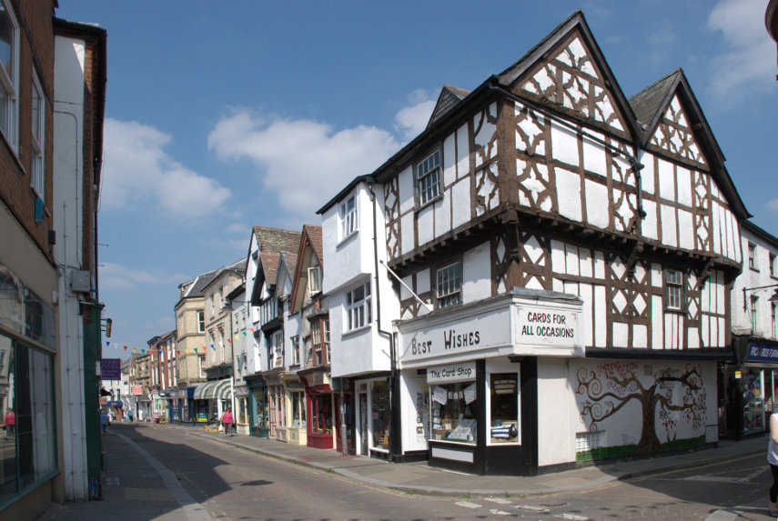
We'll leave you with this view of High Street.
As I said above we will be back for further explorations.
