Browsed by
Tag: Caves

A Hole New Adventure 3

A Hole New Adventure 3

Day 3.

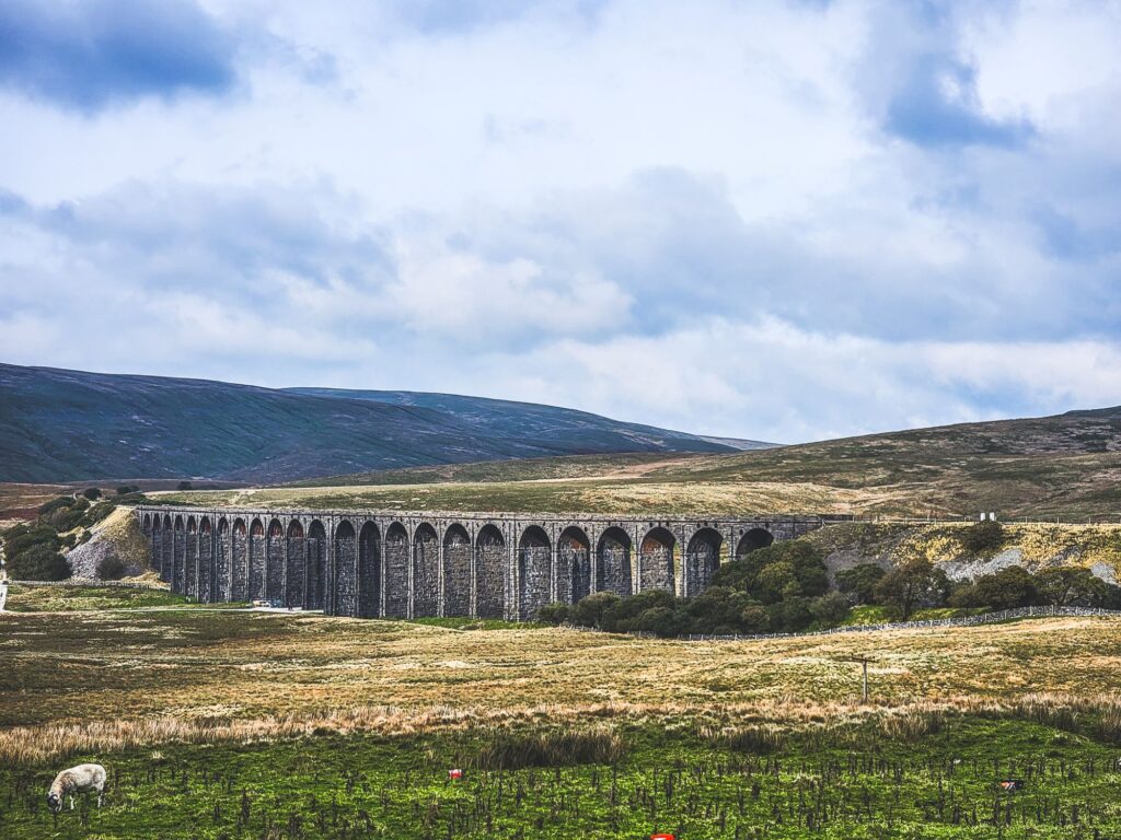
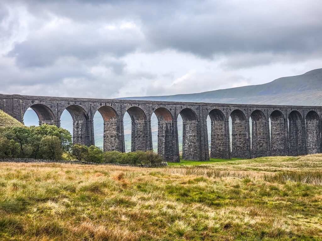
Staying in Settle meant that we were on the Settle to Carlisle Railway which is well known for its scenery and for the Ribblehead Viaduct which it crosses so we thought we would pay the viaduct a visit.

We drove over to Ribblehead and found some easy parking.

Building this impressive viaduct started in 1869 and required a workforce of 2300. The railway across it opened in 1876.

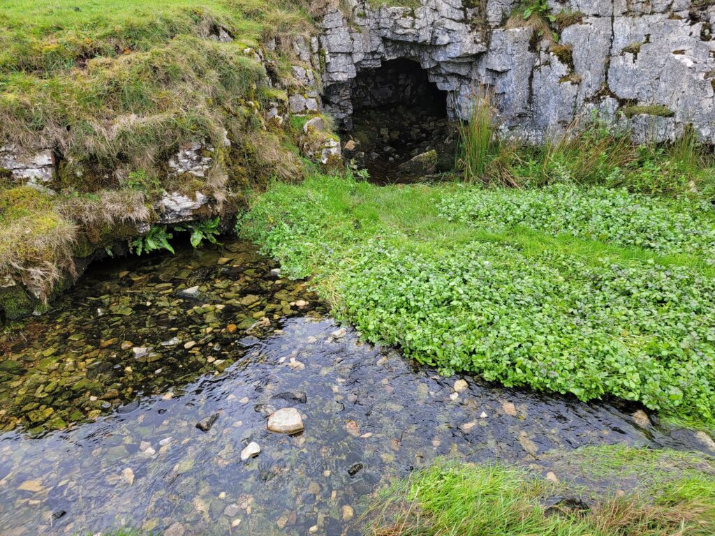
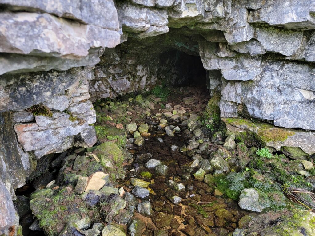
Nearby we found this.

Finding it wasn’t accidental. I came here when I was a young caver and exploring it required crawling on hands and knees in the stream. Unfortunately, after only a relatively short distance the roof came down to floor level. End of exloration.

After this we thought that we should find a real cave so we drove a few miles towards Ingleton to White Scar Cave. This cave is open as a show cave and tours run throughout the day.

It is an active cave with a stream running through it and, consequently, is subject to flooding. In 2016 the water pouring out of the cave destroyed the buildings outside together with the car park. Everything has since been rebuilt. In bad weather check opening times in case it has to be closed.

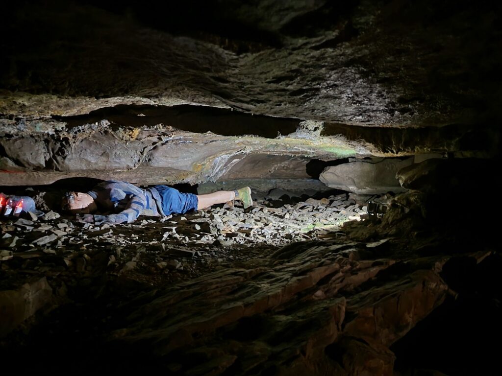
Access to the cave is via a tunnel cut through the rock. Part the way along this tunnel it shows part of the cave passge that the original explorers had to traverse laying flat. Not a comfortable experience.

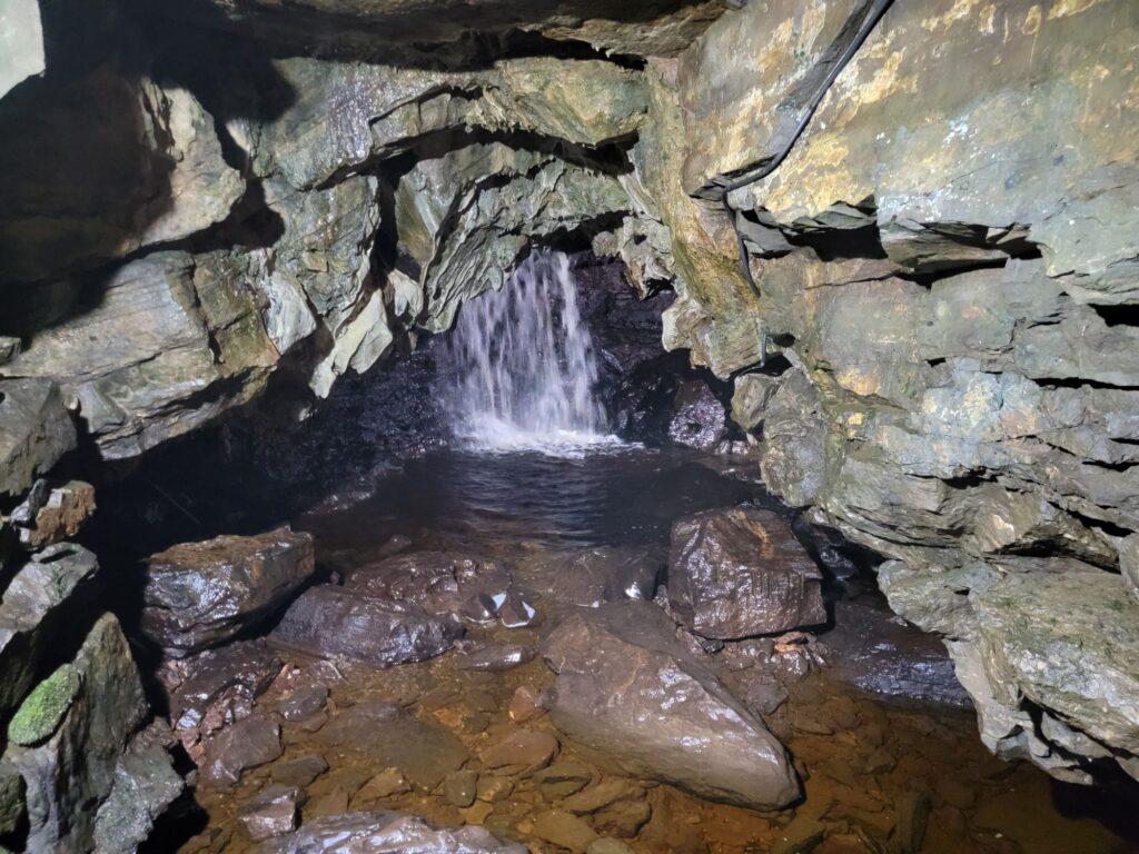
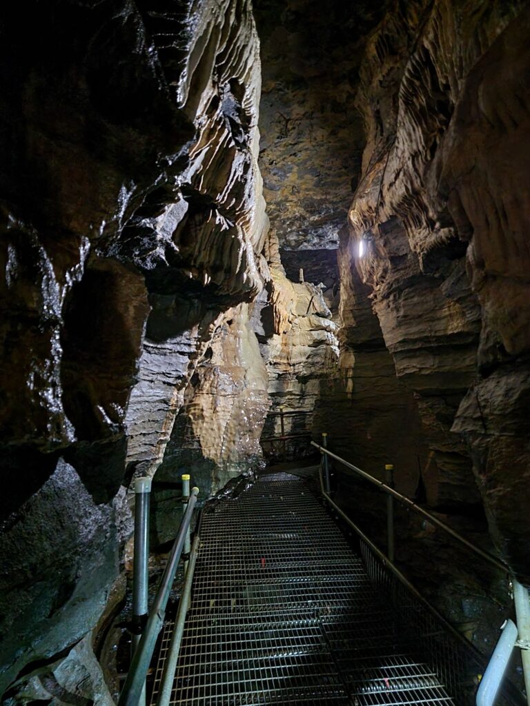
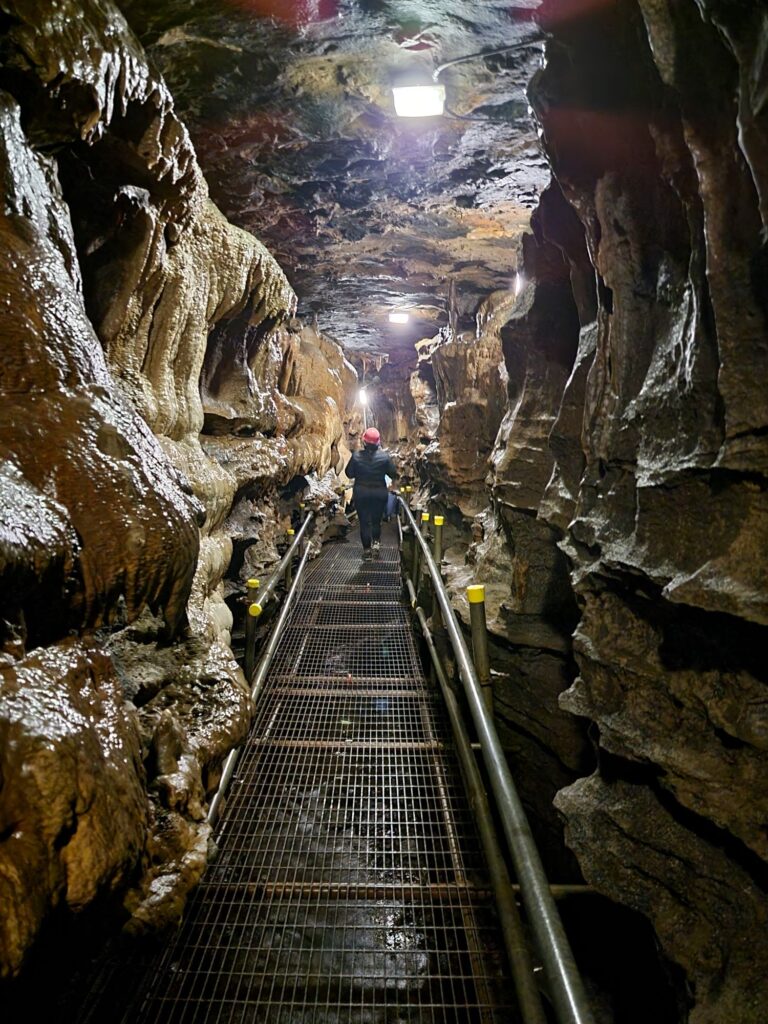
The entrance tunnel meets the show cave proper in the active stream passage.

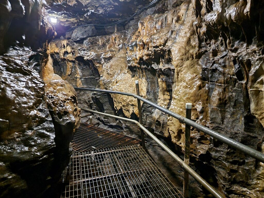
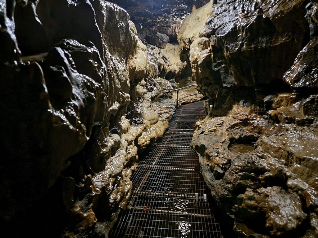
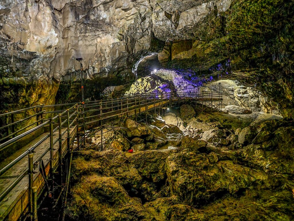
If you were a caver you’d have to walk along this passage with your feet in the stream but, luckily for you, there’s a strong, well constructed, metal walkway so that you can keep your feet dry and admire the spectacular underground scenery.

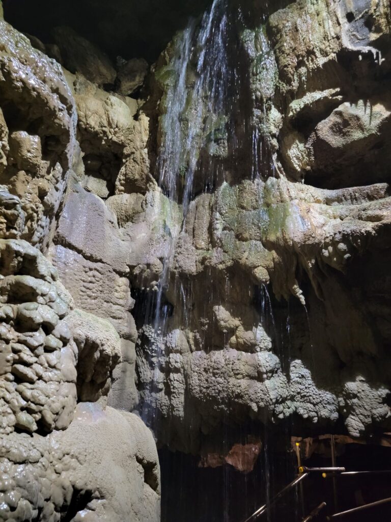
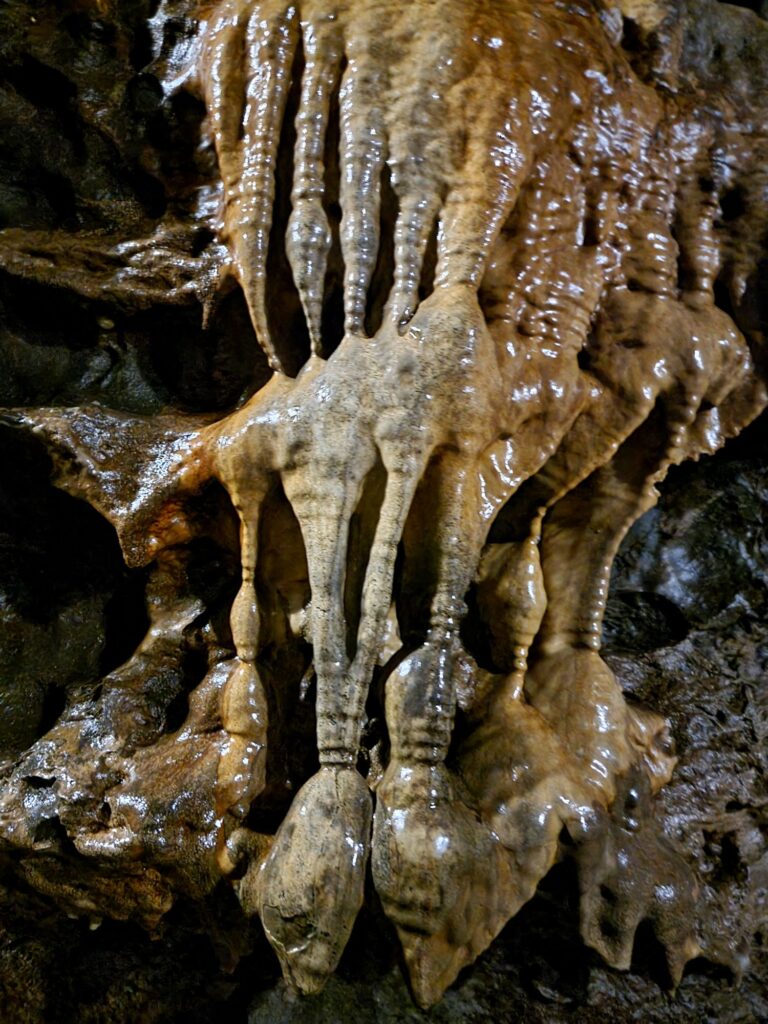
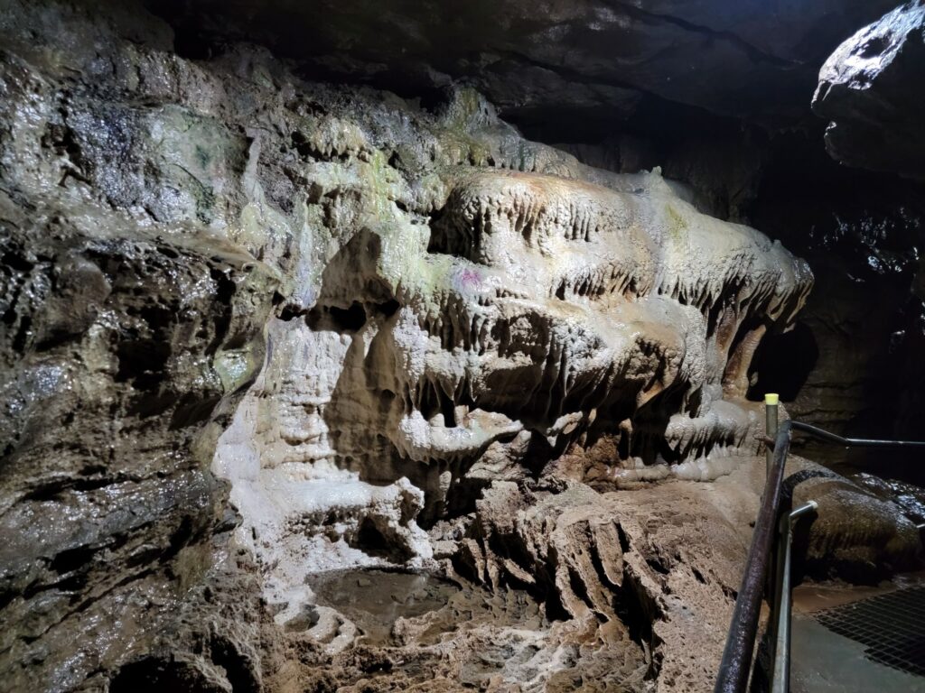
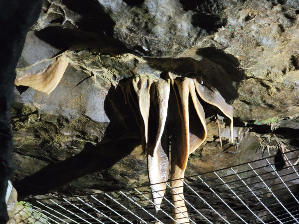
There is plenty to admire including extraordinary formations like this.

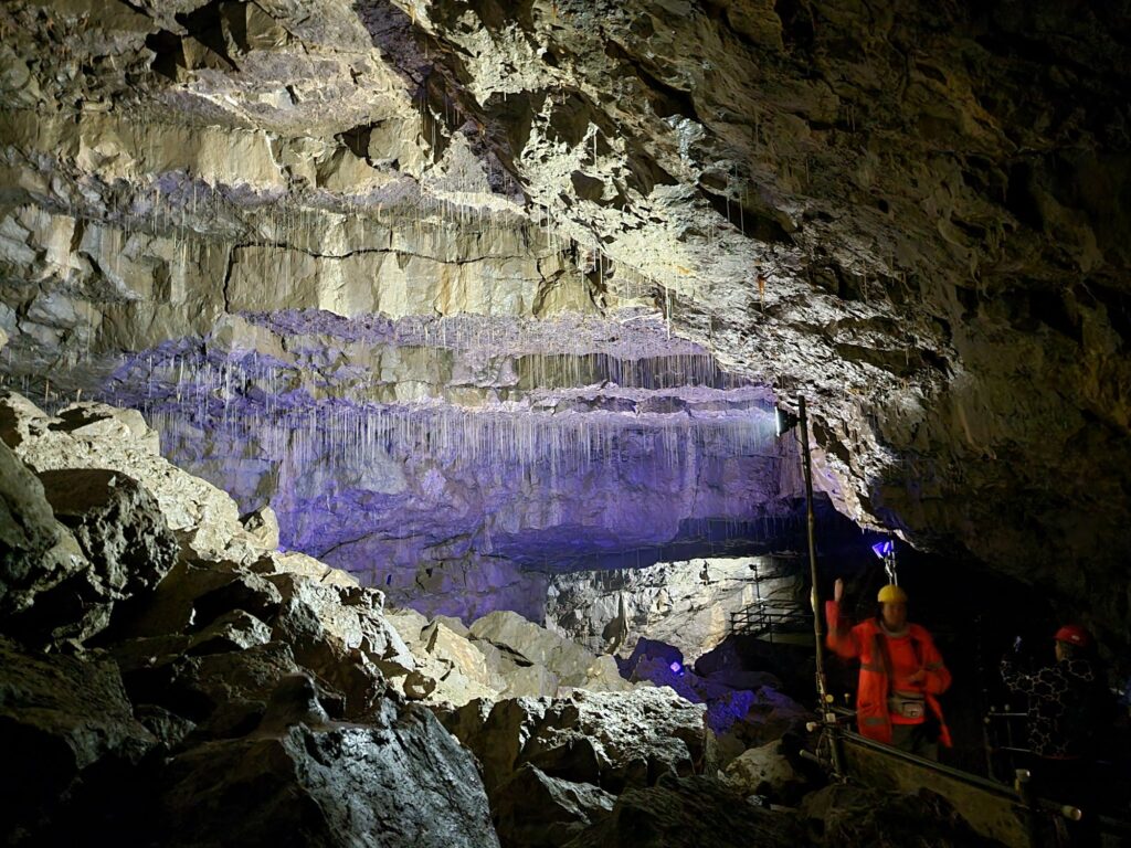
There is a lot to see in this cave and the normal tour takes over an hour.

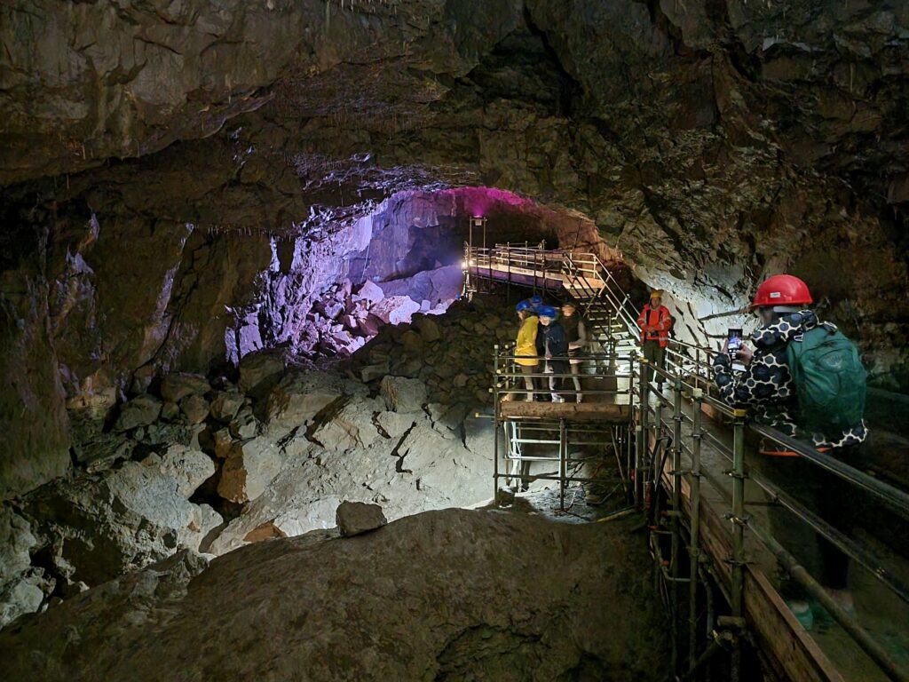
Finally, after climbing a stairway through a man-made tunnel, you will reach the Battlefield Cavern. This is the latest part of the show cave.

After that adventure we made our way back to the cave entrance and went back to our hotel.

A Hole New Adventure 2

A Hole New Adventure 2

Day 2

We made Settle our base for this trip and so, this morning, we drove from Settle to Horton-in-Ribblesdale (6 miles, 10 minutes)s where we parked. We were planning to walk on the Pennine Way towards Pen-y-Ghent but weren’t planning to walk up it.

It was a very pleasant walk along a wide track which wasn’t too steep although it was uphill all the way and we soon arrived at our first destination.

This is Hull Pot measuring 60 feet deep, 60 feet wide and 300 feet long. There is no access to any underground passages, even if you could get down there safely, but a small waterfall can be seen and the water from that emerges down near Horton-in-Ribblesdale.

This pothole can fill with water in very wet weather.

We went back to the Pennine Way and turned towards Pen-y-Ghent for a short distance to see this.

No, not the very obvious Pen-y-Ghent, but that triangular dark patch just below the centre line of the picture. The next picture shows a closer view.

Yes, yet another hole in the ground. This is Hunt Pot and that black patch at the bottom of the depression is the top of a 180 foot shaft so don’t go too near. This pothole, unlike Hull Pot, does give access to lots of underground passages and the only way in is down that shaft. No, we didn’t.

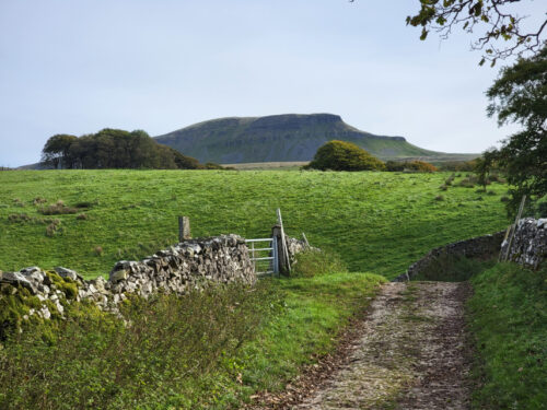
After that we decided to make our way back to base. A bit of a long walk back to the car, past the impressive Pen-y-Ghent, but very scenic and enjoyable.

Sun, Sea and Sand – Day Four

Sun, Sea and Sand – Day Four

Today is our last full day in Tenby as we leave in the morning to go back home. We are going to look at the Merchants House (National Trust) in Tenby then we will explore the area around South Beach (our hotel is on North Beach).

On our way we pass through some more of Tenby’s narrow, picturesque lanes.

I had to crawl through this next one as my head wouldn’t fit in the narrow bit. Surely they can’t get any narrower than this can they?

Tenby was never built to accommodate motor vehicles and, in consequence, there are sometimes traffic jams to be had. In Tenby a traffic jam might consist of only a half dozen vehicles, because of the narrow roads, and it doesn’t usually last for long. Because of those narrow roads the traffic moves very slowly anyway so it’s not a real problem.

We later passed this rather fine Victorian Post Box.

The Merchants House, run by the National Trust, is in the back alleys – that’s it facing the camera. It dates from 1500 which makes it the oldest house still standing in Tenby. The front part of the ground floor would have been used as a shop and the rear part as the kitchen.

This next picture shows the kitchen with its huge fireplace and the door to the small courtyard at the rear of the house. The courtyard is shown in the following picture.

Going up the stairs leads into the family’s living quarters. The wooden frame on the right is the banister rail around the stairwell.

On the top floor are the sleeping quarters and everyone would have slept in this room.

We left the Merchants House and walked to South Beach. I’m fairly sure that this beach is significantly longer than North Beach. Have you spotted the palm trees?

We found our way down to the beach and turned towards the town (I wasn’t prepared to walk all the way to the other end of this beach then all the way back again). We noticed this cave and went over to explore.

This was not an enormous cave but we were surprised at how far into the rock it went bearing in mind that it’s formed by the action of the sea.

Further along we noticed the section of the old town wall and tower still surviving.

There are some lovely bits of garden dotted about on the cliffs and this was one of them. Very pretty.

That picture should tell you that we have climbed up from the beach and are, once again, on the cliff top.

That was the end of our fourth day and although we are staying one more night we will be leaving first thing after breakfast and travelling home. Although we intend to call in at Dinefwr Park on our way back I had already mentioned our visit on the way here and used some of the photographs taken on our way back so there is nothing more to add.

There won’t be a ‘Day Five’ report so until next time.

Rock and Water – Day 3

Rock and Water – Day 3

Today was our first full day in the area and we set off eastwards into the Yorkshire Dales towards Keld and Muker along the B6270 road. Don't take the 'B' classification as an indication that it is a reasonably fast road because this road is only one car wide, bends left and right and goes up and down all over the place. Luckily there are places where one can squeeze past other vehicles although we saw few of those (vehicles not passing places) but the scenery is really wonderfully dramatic.

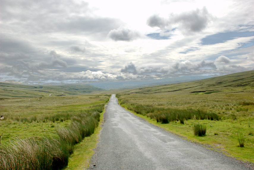
Looking at the road in the picture above you will see that it disappears over a hump in the distance and then, if you look carefully, you can see the road re-appear over to the left about halfway between this section that we're on and the left edge of the picture. It really does wander all over the place. Ocasionally one can find an area big enough to pull off and stop which is what we did around Hollow Mill Cross by Tailbrigg Hill and look what we found – another limestone pavement.

One of the interesting features of this limestone area is that the soil is mostly acid which seems to be a contradiction on limestone but there is so much rain up here that all the calcareous content has been leached from the soil.

This pavement is very well weathered and you'll notice the little tarn (lake) in the distance which is only there because the acid soil is relatively impermeable and just to the right of that tarn is the tiny figure of Amanda who is just about to make an interesting discovery.

She is heading for that row of humps to the right of her figure and this is what she found.

It's what is known as a Shake Hole. These are often 60-80 feet deep or more and can be caused by the collapse of part of a cave system below, fracturing the limestone, and allowing water to seep down and dissolve the limestone to form these shafts.

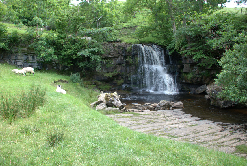
We decided to move on and eventually came down off the high ground into a very small village called Keld. We found a place to park and walked down to the river where there were a couple of nice little waterfalls.
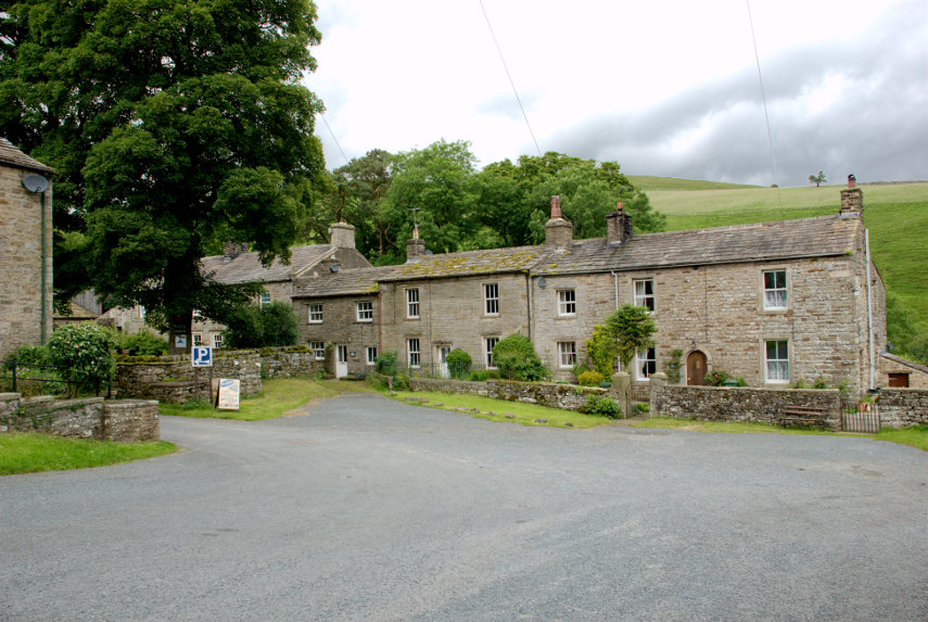
You may have noticed that on this trip the weather is rather changeable but it hasn't actually rained yet and we have had a little sun. We moved on to Thwaite where we had lunch and I now have a little tale to tell.

We had been to this area before, about 35 years ago, and on one night we stayed in a small pub in a small village and Amanda and I couldn't remember exactly where it was but she was keen to try and find out.

She remembered that it was called either The Queens Head or The Kings Head and we both remembered that it was run by an old lady. We both remembered that it was next to a small river which was thundering along because of all the rain at that time (nothing much changes does it?).

One of the people where we had lunch though, after hearing our tale, suggested that it may well have been in Gunnerside a few miles further along the road. So after lunch we set off and very soon caught a glimpse of Gunnerside.

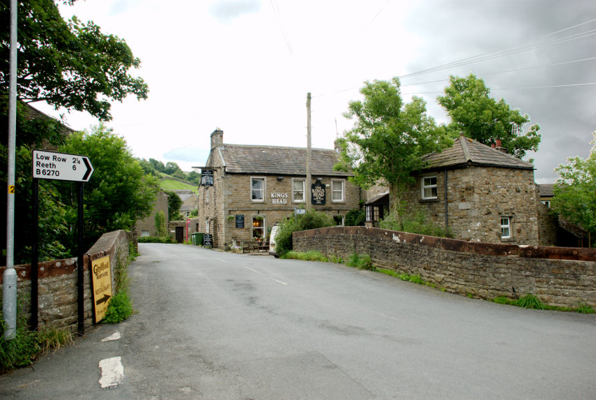
Arriving in the village we soon found the Kings Head. This view of it is across the bridge over a small river. We went in and spoke to the people who now run it and had a brief look around and Amanda thinks that this could be the one. So one mystery solved.
Our next destination was the Buttertubs up on the Buttertubs Pass at around 1700 feet. Now that was an interesting road with a steep drop on one side and, again, rather narrow. There was a flimsy looking barrier along the edge which I remember wasn't there when we came this way before. They do seem to pander to motoring wimps these days.

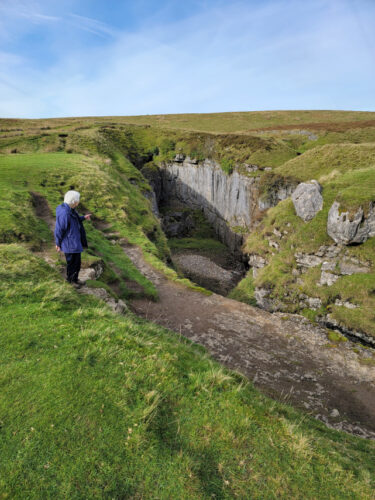
We arrived at the Buttertubs and found space (there isn't much) to park. It was also raining and I was trying to take photographs and keep the camera dry. This is one of those Buttertubs.
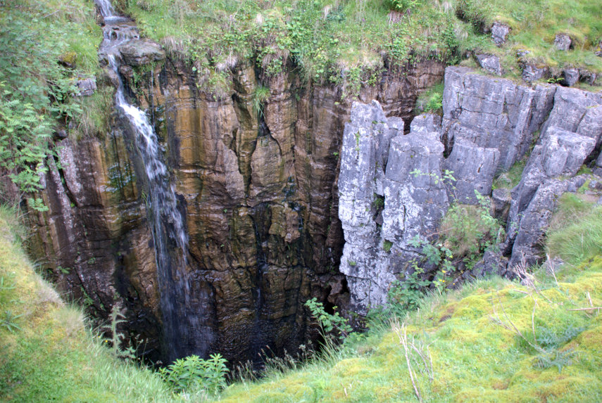
Needless to say you wouldn't want to fall into one of those and here is Amanda doing her "let's look down a big deep hole but don't go too near the edge" thing by another of the Buttertubs.
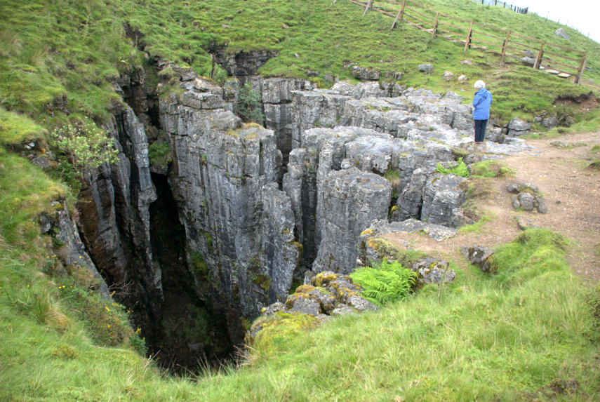
Where does the name come from? It is said that the name of the potholes came from the times when farmers would rest there on their way to market. During hot weather they would lower the butter that they had produced into the potholes to keep it cool. I can't say I'm thoroughly convinced by that but I can't offer an alternative explanation.

We decided to call it a day at this point, having seen an awful lot of rock and water, and returned via that same hairy road to our hotel. More tomorrow.