Somewhere Else
Now that some of the Covid-19 restrictions in Wales have been relaxed we can go somewhere else – anywhere – so we did just that.
We headed 60 miles due west and found ourselves in Aberystwyth, Ceredigion. It took us about one hour and fortyfive minutes to do those 60 miles because most Welsh roads are anything but wide and straight. The last 10 miles was particularly wiggley but we got there.
We parked in a large car park on Park Avenue and were expecting to pay £1.70 for the day but all the pay machines were covered with large bags and there was no explanation so we ended up paying nothing.
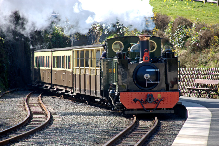
We headed fo the sea front and soon after leaving the car park we walked past the Vale of Rheidol Railway Terminus which is a Heritage Steam Railway that runs to Devil’s Bridge. The last time we went to Devil’s Bridge we saw the other end of this line and took some photographs when a train arrived from Aberystwyth.

This time the terminus in Aberystwyth was closed with no signs of life anywhere so we continued past. Probably because of Covid-19. Pity really.
We headed for the harbour and were then planning to walk north along the sea front as far as the Funicular Railway at the far end of the bay. Where we parked was an obviously new area including a retail park but the buildings and streets suddenly changed when we reached the old part of the town.
This was one of the streets in the area of New Street and the hill in the distance could be Constitution Hill and the funicular railway runs up that.

It was a short walk further on to the harbour which includes the River Rheidol just before it runs into the sea. Both pictures are taken from the same viewpoint but in different directions.


A short walk from the harbour brought us to the sea front. This view is looking south and shows the wall at the entrance to the harbour.

Walking on South Marine Terrace along the sea front we passed these colourful houses and could see the castle in the distance.

Then an equally colourful plant bed.

A short way on we reached Aberystwyth Castle built by Edward I in 1289 but by 1343 the castle was in a bad state of repair. In 1649 Oliver Cromwell ordered the castle to be slighted, i.e. rendered unusable, hence its current condition.


We finally left the castle after having a really good look round and went back down to the sea front onto the New Promenade which was completed in the early 1900s.
On Constitution Hill in the distance, on the left of the next picture, there is a straight line visible running from the top to the bottom – this is the funicular railway of which more later.
In 1795 John Nash built the Old College buildings on the right, with George Jones as the architect, in Gothic style. It was later sold to the University of Wales who turned it into a college for higher education and it later became the University of Aberystwyth. It remained as the main part of the university until the 1960s when the university open a new campus near the National Library of Wales.


A short way on and we found two things – an ice cream kiosk and the pier. We had some ice cream, to help the local economy you understand, and had a look at the pier. It has to be said that this is the shortest seaside pier that we have ever seen. It does have amusements inside and a restaurant at the outer end which has a sun deck visible at the far end. We didn’t have time to visit the restaurant so we moved on.

When we reached this point along the sea front there was a turning off to the right which, having previously looked at the map, I knew led a short distance to the Tourist Information Centre. Having previous looked at some web sites which gave opening times I thought we’d pop in to see if there was anything we should visit that we might have missed. Needless to say it was closed with no signs of life. It was, however, a pleasant part of the town.

We went back to the seafront which has, as you can see, a rather fine beach. This beach runs all the way along the seafront promenade and has a greyish sand but sand nevertheless and there were plenty of people enjoying themselves.

We continued on towards the Funicular Railway passing some colourful, fine looking houses on the way.


We finally arrived at the bottom station of the funicular railway expecting it not to be running because of the current virus problems but it was so we decided to make use of it and take the easy way up.
We were asked to wear masks whilst on the ‘train’, which they supplied at a small charge, and the single fare was £7 for two.

We boarded the coach and, after a short time, it started to move. As with all funiculars there are two sets of rails and two coaches. When one coach is going up the other is coming down so that each coach acts as a counter-weight for the other.

This funicular is interesting in that the rails start up steeply then level off a little then go up an even steeper slope. When we reached the top I took a photograph from the station looking down.

You will be pleased to hear that there is a cafe at the top -we certainly were. They had a good selection of items on the menu including cake so we had to try some. We both had some cheesecake (very nice) and a cup of coffee each. The view from this level is really quite amazing.
The second picture was taken with a telephoto and is of the castle area with the war memorial on the right and parts of the castle showing on the left. You can also see the sundeck on the pier.


Once we had finished our cake and coffee we had to walk back down but just before we did that we had a look at the view north of Aberystwyth towards Clarach Bay. Beautiful.

This is the start of the footpath down but it isn’t that wide all the way.


We are almost at the bottom now.

On the way down we saw a number of wild flowers including Sea Campion, Thyme and Quaking Grass.


Finally back to sea level we now have to walk back to where we parked the car but we did pass through some more interesting parts of Aberystwyth.


We finally staggered back to the car and set off home but this time we are going home via the mountain road rather than the main road which brought us here.
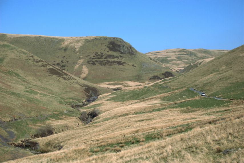
We first go from Aberystwyth to Devil’s Bridge where we join the mountain road.


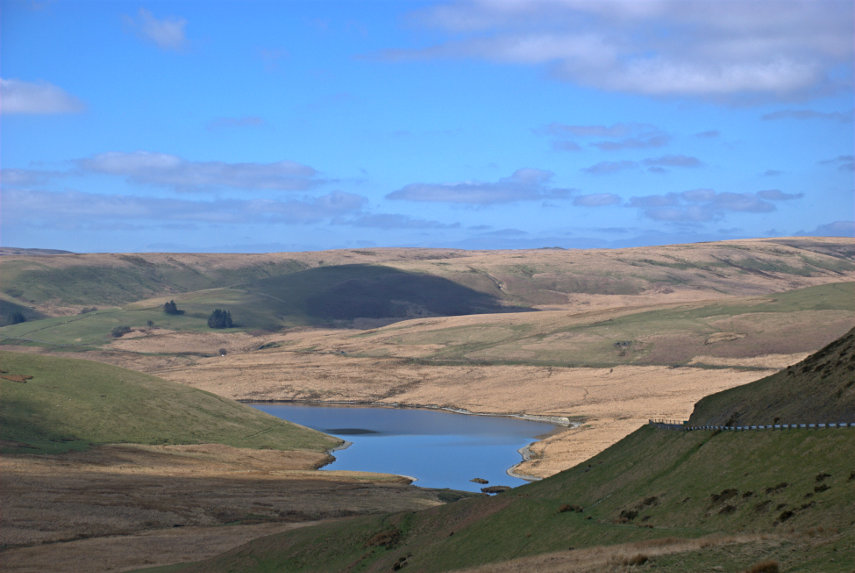
The next picture, which is just before we reach Rhayader, will be of particular interest to our friend Marie because she has been there. It shows one of the reservoirs in the Elan Valley and we brought Marie this way on that little road in the bottom right corner.

We reached home without incident although Amanda was feeling a little travel sick by this time. It took her about an hour to recover.
I wonder where we’ll go next time!

