Reservoirs, Roads and Rails
The online weather forecast for today was chilly and cloudy up to about 5:00 PM when we would have some sunny intervals for a couple of hours then back to cloudy for the rest of the day. Knowing how completely wrong the online forecasts had been over the past two or three days we decided to go out for the day.
We set off about 9:30 AM and followed a route we had used a number of times already which led us west to Crossgates where we would turn left for Llandrindod Wells but this time we went straight on towards Rhayader (pronounced 'raider') and as we were heading for Rhayader the sun started to break through. ![]()
When we reached Rhayader we wanted to continue west but there was a slight problem although perhaps I should describe it as a mountainous problem. Between us and where we wanted to go were the Cambrian Mountains; a large wild and mountainous area with few roads and some of those roads stopped part the way across. However we were lucky that there was one road going in the direction we wanted which went up, over and down the other side. So we left Rhayader and started up, and up, and up. This is part of that road not long after we'd left Rhayader.
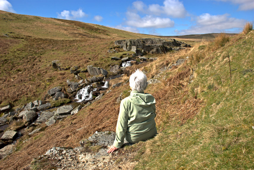
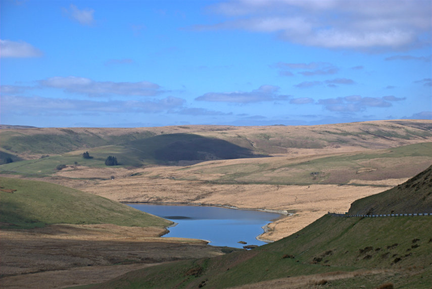
We stopped by a stream to look at the view and a little further along we stopped again to look at the Craig Goch Reservoir in the Elan Valley (second picture below). Had we turned off onto the road along the Elan Valley, which we didn't, we would have found six large reservoirs. Perhaps we will have to do that one day.
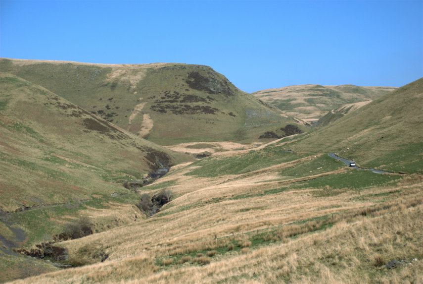
We traversed these uplands on a road that was often not wide enough for two vehicles to pass, although there were plenty of passing places, and many sharp blind bends. There were also places where there were very steep slopes next to the road and no guard rails. We did, eventually, reach the other side of the uplands and started to go down. This was the view from the top looking down through the pass that we were about to go through. One thing that is noticeable about this area is that there are no trees.
We did make it to the bottom and then onwards to Pontrhydfendigaid (I suggest we pause for a short time whilst you untie your tongue). The name apparently means 'the bridge of the blessed ford'. We turned out of Pontrhydfendigaid and soon found ourselves at Strata Florida Abbey, which was our destination, after a journey of 2 hours. This ruin is owned and maintained by CADW – the welsh equivalent of English Heritage. The name Strata Florida is a corruption of the Welsh Ystrad Fflur, meaning Valley of (the river of) Flowers.
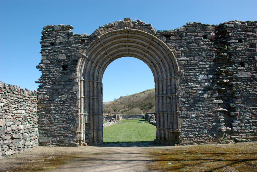
This gateway is the highest part of what is left. The abbey does have a wonderful backdrop as you can see in the second picture below.
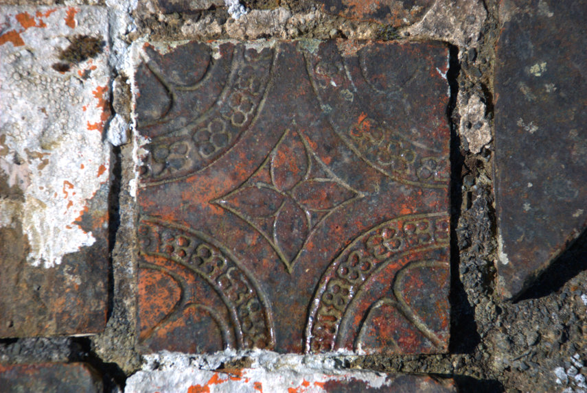
There is also a large area of medeival tiles dating from the 14th century which makes them around 700 years old. Is your bathroom going to last that long?
Strata Florida Abbey is interesting but it is not worth making a special (long) journey for simply because there is really not that much to see but if you are in the area or passing through then it is worth stopping off. I doubt that we spent an hour there before continuing to our next destination further north – Devil's Bridge.
Devil's Bridge is actually three stacked bridges as each time that a new bridge has been built to replace the old bridge the new bridge has been built above the previous bridge. There is an old tale that the first bridge was built by the Devil but actually it is probable that it was built by the monks of Strata Florida Abbey. The original bridge is thought to have been built between 1075 – 1200. The bridge is at a point where the River Mynach drops 300 feet in five steps down a steep and narrow ravine.
The next photograph was taken from the newest bridge looking down into the ravine. It is possible, on payment of a small fee, to climb down into the ravine via the steps seen in the picture. We didn't have time to do that on this trip but we do intend to come back.
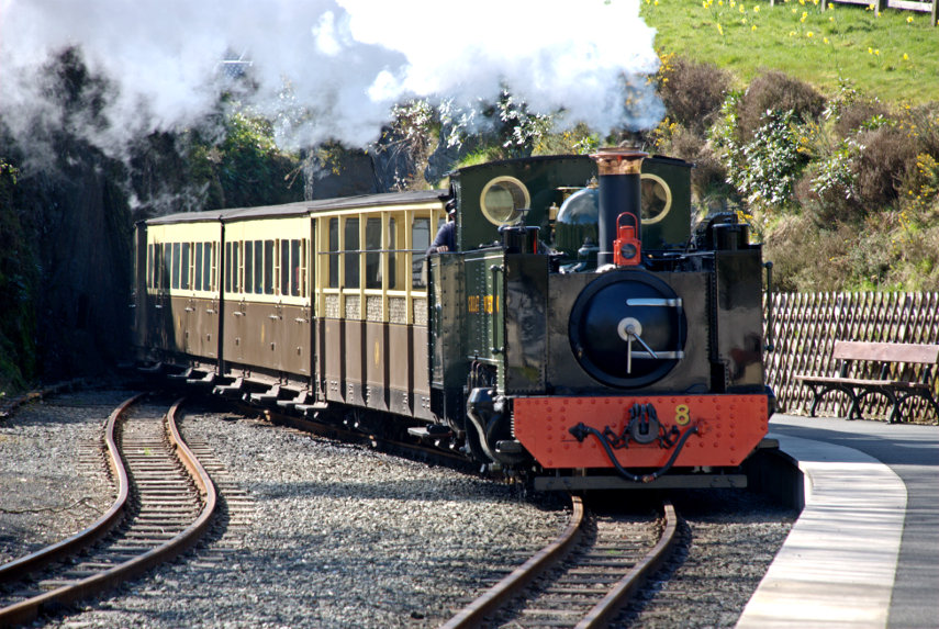
Th other ting we came to see was the Vale of Rheidol Railway which runs from Aberystwith, on the west coast, to Devil's Bridge and back. The journey takes an hour each way. When the train pulls in to the station it uncouples from the carriages and moves past a set of points then reverses to the other end of the carriages to pull the train back to Aberystwith.
We had a light lunch at the station in the Two Hoots Cafe. I had soup with bread and Amanda had a sandwhich and we each pronounced our food to be very good indeed.
That was the end of our day except for the drive back and the return journey took just 90 minutes as we didn't keep stopping to admire the scenery. Can't wait to go back.






3 thoughts on “Reservoirs, Roads and Rails”
Now that you are having good weather (as we are here in New England) I have to check in more often.
Don’t know if I need new glasses, but I could not see the Devils bridge, or is it hidden behind the rocks?
It looks like you had a lovely day out, weathermen are certainly over paid.!
Annecyborn(Quote)
Of course you couldn’t see the Devil’s Bridge because I was standing on it when I took the photograph and the other two are under this one. You’ll have to wait until we go back and have time to go down to those steps in the photograph then you’ll be able to see the bridges from there.
Barry(Quote)
At least I am not going blind! I shall wait until you go back. From your pictures, it looks like the area is worth visiting again.
Annecyborn(Quote)