Browsed by
Category: Caernarfonshire

From Iron to Copper – Day 4

From Iron to Copper – Day 4

We appear to have another sunny day and another breakfast. Do we have any special plans for today? Well yes we do. We are going to the top of that limestone lump in the distance on the far side of the bay but we are going to cheat.

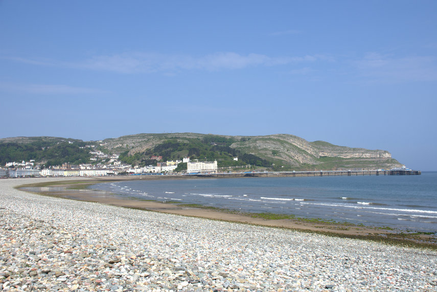
We set off walking along the sea front eventually taking an upward path and after a short climb we look back to this view of the Llandudno sea front.

A bit higher still we get this view with the mountains of Snowdonia showing beyond the town. However, have you noticed anything? There is less and less blue sky – the cloud is building.

A bit higher and we get a nice view of Llandudno Pier but now with a cloudy sky.

Looking in the opposite direction we can see the Great Orme (the limestone lump) that we are going up and some lingering blue sky.

However before we go up any higher we have come to look at the 19th century Happy Valley Gardens. This area was a quarry before being developed and landscaped as rockery gardens . These gardens are generally sloping and a bit steep in places but worth visiting if you can cope with the slope. There were a few sculptures scattered around and we particularly liked these.

There were plenty of flowers but there should be even more later in the season.

They even have their own Laburnham Arch which is not going to compete with the one at Bodnant but it is already looking very pretty.

We walked a little way back into town to catch the tram to the top of the Great Orme. I did tell you we were going to cheat.

This is where we passed the tram which was coming down. The ‘driver’ doesn’t actually do anything, as the tram is moved by a cable worked by a winding engine, but he is there in case we need emergency braking.

We didn’t need any emergency braking after all but we are not impressed with the weather up here. We now have total cloud cover and it is rather cool which is made worse by the strong wind (cloud+cool+wind=dismal). Still it shouldn’t worry us where we’re going – underground.

We are going to visit the pre-historic copper mines re-discovered in 1987. These mines date back 4,000 years to the Bronze Age and, before you ask, that is before my time. The mine is thought to be the largest prehistoric mine so far discovered in the world.

We started by having a look around the surface workings.

We could see various dark holes going down vertically but luckily for us we won’t have to go down those. One of the shafts here goes down 437 feet :shock: . There were obvious spaces on the surface where they would have extracted the ‘easy to get to’ copper ore but that would have run out fairly soon so it was a matter of giving up or tunnelling and they chose the latter.

The entrance is between the path in the foreground and the steps on the right-hand edge in the picture above and this is it. Not very big is it?

The tunnels turned out to be just wide enough to walk along carefully. Amanda is somewhere ahead in the dark!

It was also essential for us to be wearing hard hats otherwise we both would have ended up with bent heads.

There were also steps in a number of places going both up and down. These steps have been installed for visitors and the original miners didn’t have that luxury.

The passage takes one on a U-shaped journey and eventually emerges a short distance from the entrance. I would have liked to show you some of the other features that we saw but the lighting is very dim and my little flash was too small to cover the larger spaces. It was, however, a very interesting and unusual trip.

What visitors see is just a small part of the total mine workings. There are, literally, miles of passages; some so small that they must have been excavated by children around 6 years old.

We went back down on the tram, of course, and that was the end of our day.

We were originally planning a visit of some sort on the journey home tomorrow but as the weather forecast is much the same as today but with rain we went straight home so no ‘Day 5’.

‘Day 5’ did turn out to be a cool, cloudy day and we did have rain on the drive home.

Better luck next time.   :roll:

From Iron to Copper – Day 3

From Iron to Copper – Day 3

Another morning. Another breakfast. Another sunny day. Another day trip. This is getting boring. Can I cope with all this good weather?

After breakfast we set off on a 30 minute trip to Penrhyn Castle near Bangor. This is another National Trust property and a rather unusual one at that. We arrived at the entrance without mishap and it looked a normal enough gateway.

When we caught sight of the castle it looked like a rather impressive Norman castle.

We knew, however, that this castle was built in the 19th century as a family home and not a military building at all. When we started out we were dubious that we would like a ‘fake’ norman castle but we enjoyed it very much and you will, hopefully, see why.

Penrhyn Castle was built between 1820 and 1833 for George Hay Dawkins Pennant by the famous architect Thomas Hopper. Known for his unorthodox style, Hopper opted not to follow the fashion for Gothic architecture but went against the grain choosing a neo-Norman design. Hopper’s hands-on approach also meant he oversaw the designing and building of the castle’s furniture, made by local craftsmen. In 1951 the castle came into the care of the National Trust.

Before we went inside the main building we went into the Courtyard first. The courtyard is very large and has been turned into a railway museum.

The Penrhyn Castle Railway Museum is dedicated to local narrow gauge railways. In the 19th century, Penrhyn Castle was the home of the Pennant family owners of the Penrhyn slate quarry at Bethesda. The quarry was closely associated with the development of industrial narrow-gauge railways, and in particular the Penrhyn Quarry Railway, one of the earliest industrial railways in the world. The railway ran close to Penrhyn Castle, and when the castle was bequeathed to the National Trust in 1951 a small museum of industrial railway relics was created in the stable block.

The first locomotive donated to the museum was ‘Charles’ from the Penrhyn Quarry

and this is the driver.

The rather impressive locomotive below, ‘Fire Queen’, is one of the older locomotives in the museum having been built in 1848.

This next picture shows another of the locomotives together with a gawking bystander. You can also see how they have squeezed many locomotives into this narrow gallery. The width of the gallery makes photography difficult but I managed to photograph some. Amanda is actually trying to work out how we are going to squeeze this one into our garage.

This is the actual courtyard with the locomotive gallery on the right. When we had seen enough we went through the archway at the end and walked round to the front entrance of the house.

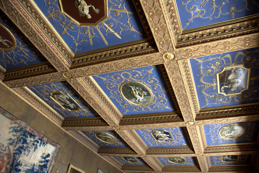
We went into the front entrance and found ourselves in a small, short, unpretentious corridor with a door at the end. We went through that door and emerged into an entirely different space – and I mean SPACE. The first picture of the reception hall is taken from the ground floor level and the second picture from the gallery which is visible in the first.

That should give you an idea of the scale of this place. Everything is larger than life.

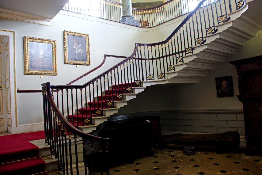
The main staircase is pretty amazing with just about everything featuring carved stonework. This chap must have had money to throw away.

There were some very long corridors on the upper floor like the one above which disappears off into the distance. All in all this house is extraordinary and we would quite happily visit again.

Having seen round the house we trotted off to the walled garden and on the way saw this view with lots of buttercups. Nice!

The first part of the garden is formal in design which includes this area with the pond and box hedges together with a rather strange woman who looks as though she’s about to get up to mischief of some sort.

This Azalea shrub looks spectacular.

Further down the garden it becomes informal with a natural looking pond, an observation deck and a little summer house of sorts.

That was the end of our visit to Penrhyn Castle near Bangor but it wasn’t the end of of our day. Our next destination is Anglesey; an island off the north coast of Wales.

After a short journey, which included crossing the bridge over the Menai Strait to Anglesey, we arrived at the National Trust property of Plas Newydd, parked our car and started to walk up to the house. Along the way we couldn’t help but notice this row of rather fine cedar trees with interesting fluted trunks.

The house is in a rather nice position overlooking the Menai Straits but is not as imposing as the one we have just come from but it is still bigger than ours.  :oops:

This next picture shows the Menai Straits with the bridge that we used in the distance (You can just about see the bridge on the horizon).

There is plenty of parkland but not much in the way of gardens except for the small Italianate Terrace.

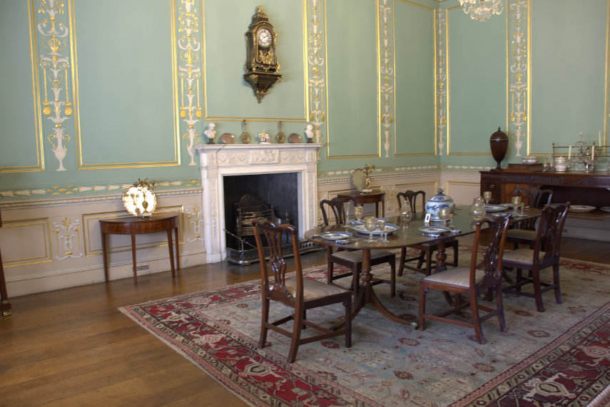
As far as the house goes it is a fairly standard stately home with the usual rooms.

Lord Anglsey’s study below has been left exactly as he left it and I have to say that it does look a little on the untidy side. How on earth he could find what he wanted beats me.

From here we went back to Llandudno to prepare for yet another day.

From Iron to Copper – Day 2

From Iron to Copper – Day 2

Day 2

Tuesday morning. Woke. Levered eyelids open to look out of window. Another sunny day.

After breakfast we drove all of 15 minutes to Bodnant Gardens, which is managed by the National Trust, and we have been here before about 30 years ago before this web site was even thought of so no photographs from that trip. It is not an old garden having been created around 1874 and there is a house but it is private and not open to the public. Bodnant means ‘dwelling by a stream’.

The garden was gifted to the National Trust in 1949 when I was 13 years old which isn’t really relevant but I thought you’d like to know.

A map of the garden

One of the things that we came to see was the Laburnum Arch.

How’s that for a show stopper? This is very near the entrance so was an obvious first and I was lucky to get a photograph with so few people in it. The one trouble with Bodnant is that because it is world famous it is very popular and very busy.

Although the house is not open to the public it is visible.

I’d like to be able to have a look inside that conservatory.

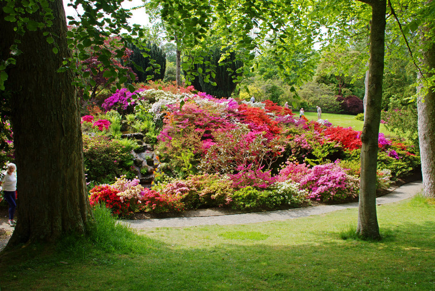
A short way from the house we saw the occasional Rhododendron and at this time of year they seemed to be everywhere. It didn’t seem to matter where we were or which direction we looked there would be rhododendrons. This garden houses one of four National Collections of Rhododendron forrestii, named after the plant collector George Forest, so that might explain it. Bodnant raised their own Hybrid Rhododendrons of which the garden has a mere 350.

As the garden is very large, at around 80 acres, and is on a slope, there is plenty of structure to it.

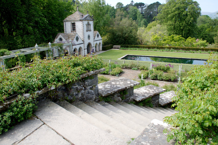
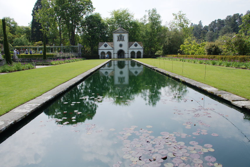
Above shows the Lily Pond with the Pin Mill building on the Canal Terrace. The building was added in 1938 having been built in 1730 in Gloucestershire; it was rescued from decay by Henry Pochin, the original founder of the garden, who dismantled it, brought it to Bodnant and rebuilt it brick by brick.

We plodded onward down the slope passing numerous rhododendrons on the way and caught sight of this cheeky chappie eating the flowers!. He certainly wasn’t timid and if he eats them all he’ll end up the size and shape of a pumpkin.

We could see from the view in the next picture that we were, at last, getting near the bottom of the valley and the river. Rhododendrons? What rhododendrons? You don’t expect to see them everywhere do you? Oh! Wait!

At the bottom of the valley is the old mill and Amanda showing the way. Nobody mention rhododendrons!

The building is the old mill, a Grade II listed building, which was built around 1837 and was used to turn the wheels of the estate flourmill and then the estate sawmill. There is also a small refreshment kiosk here (it’s a long uphill walk back to the main tearooms).

So that’s the end of the garden then? You have to be kidding! There is now a greater distance to  the ‘Far End’ than we have already covered. So lets’s not waste time – just follow us. Keep up and don’t dawdle.

Off we go then and I’m not going to mention Rhododendrons.

I think that the poor chap above was just stunned by the amount of colour and in the next picture Amanda must have spotted something interesting (no it wasn’t me).

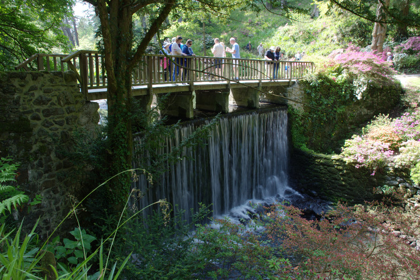
Stepping stones across the River Hiraethlyn. The disappointing part, for you, is that Amanda didn’t fall in. In walking along the valley one can walk on either side of the river and cross at any of the frequent bridges as shown below.

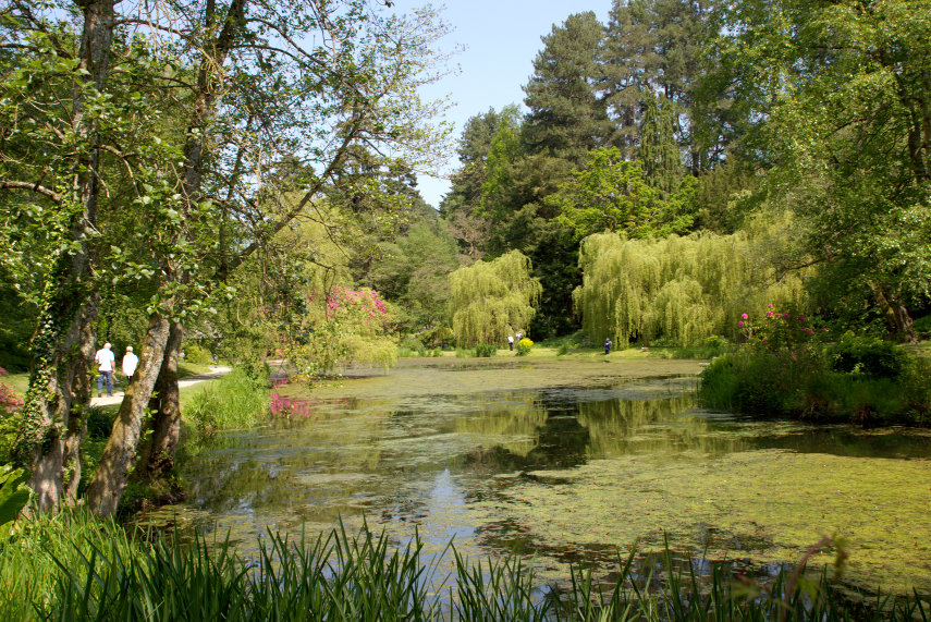
There are a number of lakes along the valley.

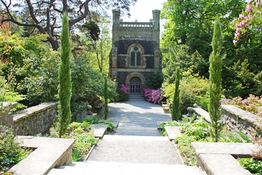
Finally we reach the ‘Far End’ BUT we now have to walk back and it’s all UP. :???:   On the way back we popped in to have a look at this – The Poem. Perched on a steep bank overlooking the mill pond this beautiful building was built by Henry Davis Pochin, the original builder of this garden, as a last resting place for his family.

After all that walking we staggered out of the exit and slumped into our car. So was that the end of our day then? Well no. It was about the middle of the afternoon so, even though we were tired, we decided to travel the short distance to Conwy.

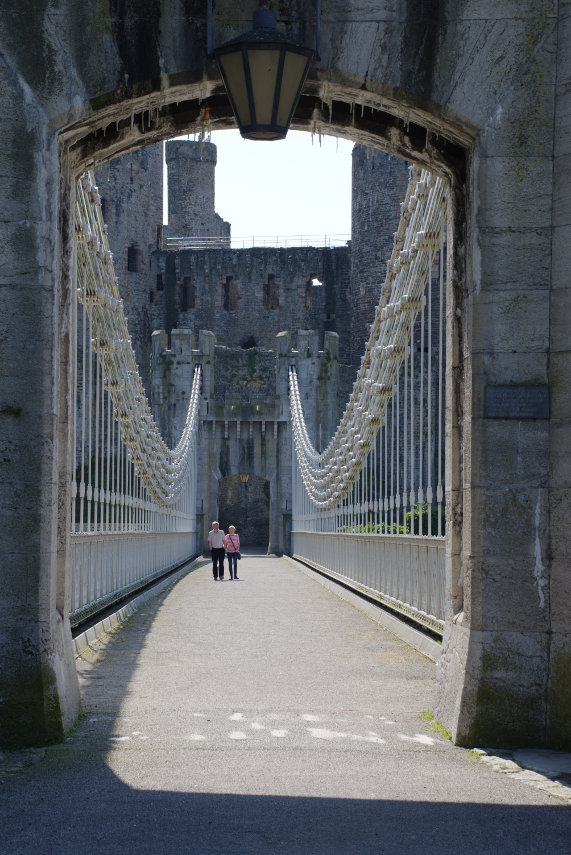
We have been to Conwy before and there are pictures on the main web site of that visit but there some things that we hadn’t seen on that occasion. One of those was the suspension bridge built by Thomas Telford now owned and maintained by the National Trust. When we visited Conwy for the first time there was an entry fee and we thought that it wouldn’t be value for money so we gave it a miss. This time, however, we were National Trust members so could get in free. When we arrived we found that there was now no charge and the bridge was open to all.

It is an impressive bridge and very attractive so it was a worth while visit. From here we walked down to the Quay to see something else that we had heard about.

A house can’t come smaller than that surely unless you know better?

By this time our legs were worn down to the knees so we went back to the hotel. Another dinner, another sleep. Another day. What will the new day bring?

From Iron to Copper – Day 1

From Iron to Copper – Day 1

Day 1

Monday morning. Sunny. Leap into car. Drive north like a bat out of hell to try to get to the first destination before the sun goes in. We just make it. Cloud has started to appear but there is still plenty of sunshine.

We started this trip, after driving north for an hour and a half, with these early 18th century wrought iron gates at Chirk Castle which we thought were very impressive. They must have been very expensive to make but, I suppose, if you can afford a home like Chirk Castle then a couple of gates wouldn't make much of a dent in the family fortune.

Visitors cannot get in this way but we had to stop and have a look before we went in the visitors normal entrance.

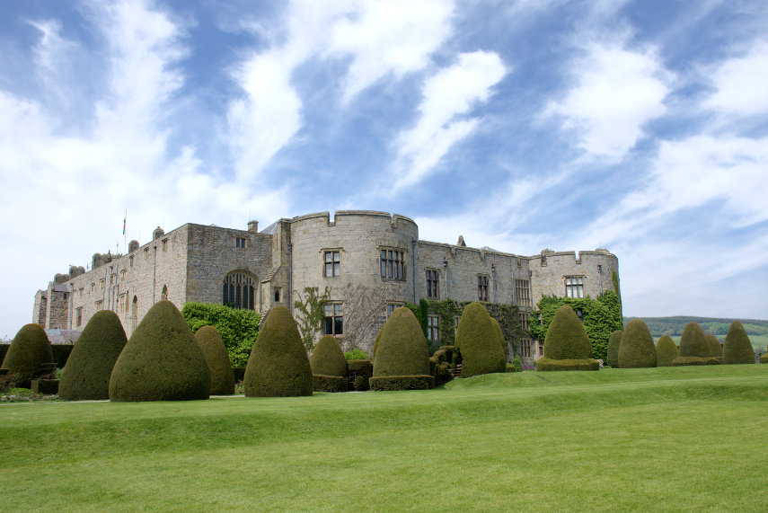
Chirk Castle is near the town of Chirk (no surprises there then) which is halfway between Oswestry and Wrexham. The castle is now owned by the National Trust and when approaching from the car park the castle looks pretty impressive.

Chirk Castle is similar to Beaumaris Castle which suggests that building work may have started as late as 1295 and was completed in 1310. It has over 700 years of history being the last castle from this period still lived in today.

Now this is what you call an entrance. This very imposing arch leads into the courtyard in the centre of the castle.

This courtyard is enclosed on four sides and, as you may deduce, refreshments may be obtained here. That Wisteria on the left-hand wall is a sight to behold.

The interior has had extensive modifications over the centuries and it is now nothing like the medieval fortress it used to be leaving it as a very comfortable home. We could tolerate that. These are some of the rooms.

The staircase is relatively small but rather attractive as is the upper landing.

Coming out of the castle we are confronted with this view. One can see why the castle was built here.

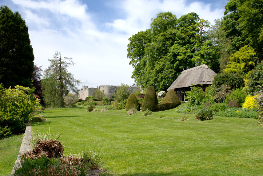
Then we went into the garden and what a garden! There were plenty of Rhododendrons in bloom, which certainly helped to add a lot of colour, but there were plenty of other flowers and plants too.

We rather liked the little thatched summer house.

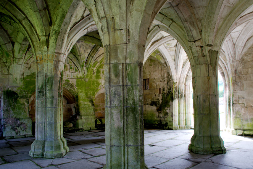
Having seen just about everything at Chirk Castle we continued our journey to Valle Crucis Abbey just a little north of Llangollen . The abbey ruins are managed by Cadw ( the welsh equivalent of English Heritage). The abbey was built in 1201 and was dissolved in 1537 during the Dissolution of the Monasteries.

It is an impressive ruin although it has to be said that these welsh and english abbey ruins are very much alike. However we did enjoy looking around and it is one of the best preserved abbeys in Wales.


We took our leave of the abbey ruins and continued our journey to our final destination.

After driving for a total of 2 hours 30 minutes (that's from home to here) we arrived at Llandudno on the north coast of Wales, which is where we were staying, and this is our hotel on the sea front.

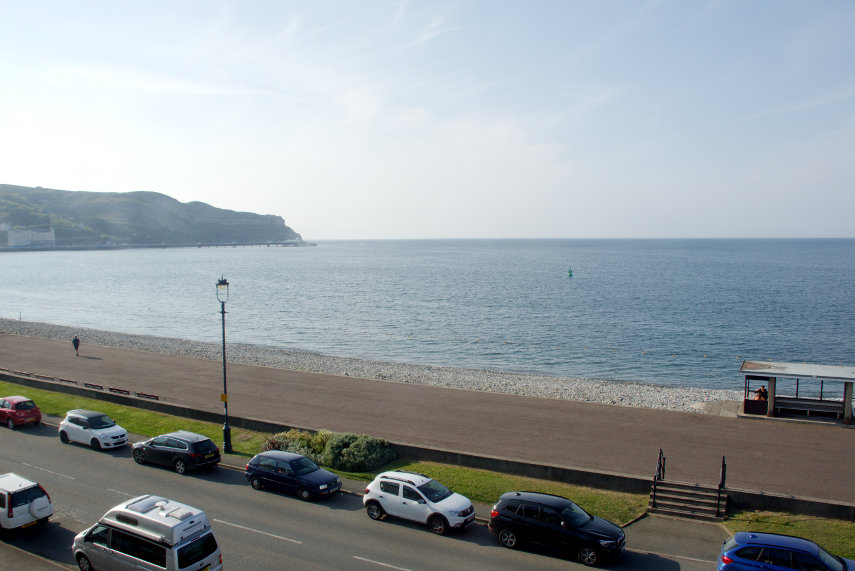
The picture below is the view from the seaward side of the road outside our hotel,  that limestone lump on the skyline is the Great Orme,

and this is the view out of our bedrooom window – can't be bad.

We did have a mostly sunny day after all but it is now time for dinner and then to bed to be ready for whatever tomorrow brings – I have my folding umbrella to hand.

Walking in circles

Walking in circles

Stonehenge is perhaps the most famous stone circle in the world and there are other significant stone circles in this country such as Avebury, Arbor Low and the Rollright Stones but there are many others scattered around the countryside that are just as old but relatively rather insignificant.

When we were last in North Wales we noticed that on our Ordnance map of the local area there was an area marked as a ‘Stone Circle’ so we went to have a look. This entailed driving up a long, narrow lane into the middle of nowhere, but surprise, surprise there was a car park there.

Getting into the field wherein lay the stone circle meant climbing a stone wall and, luckily for us, there was a stile built into the wall. Not a type we’d come across before and it was quite, er, interesting negotiating it.

You could be forgiven for tripping over the stone circle before realising that you’d found it. It was of a reasonable diameter but the biggest stones were only knee high. You can get an idea of scale with Amanda standing next to one of the stones on the far side of the circle. I have marked some of the stones with black circles as they are not especially obvious.

We saw another similar circle, but of a smaller diameter, when we were on Froggart Edge in the Peak District. That was also marked on the Ordnance map in an area of bracken and the bracken was taller than the stones in the circle so we had to hunt for it but found it in the end. I didn’t even bother to photograph it then; perhaps I would now.

Some of these stone circles have names but a lot of them don’t. Next time you trip over something make sure it’s not a stone circle.