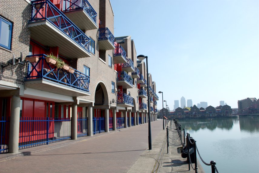
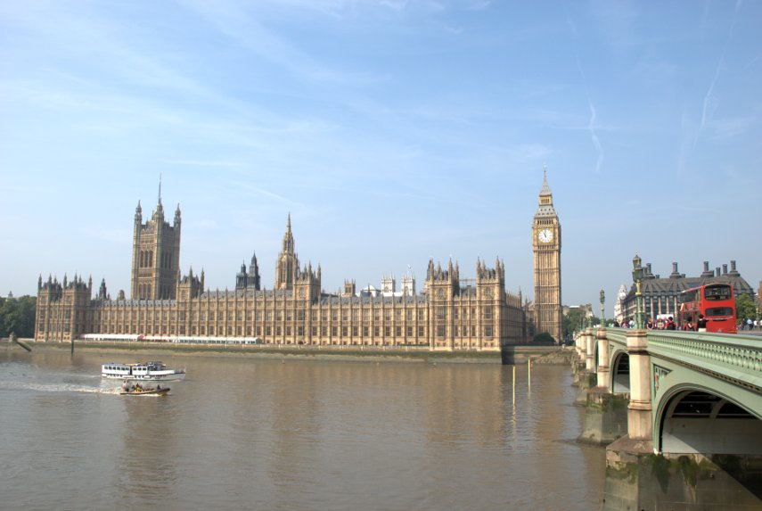
Medieval, Monumental and Modern
8:30 PM Wednesday 1st May 2013.
Just back from our day trip today and this comes under the ‘Modern’ category.
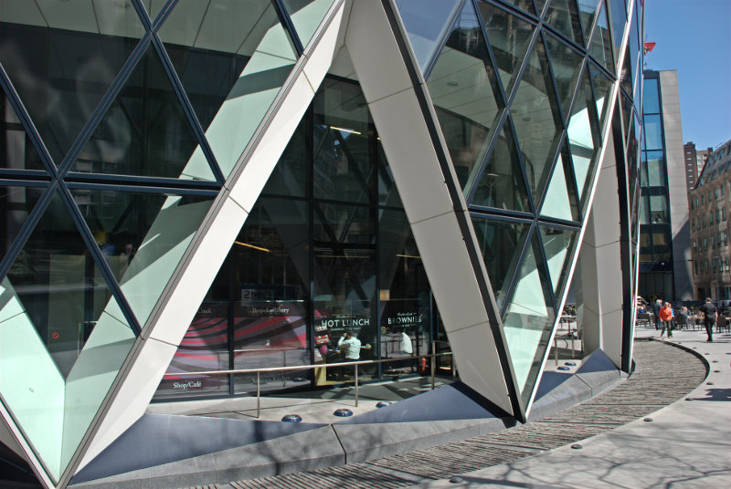
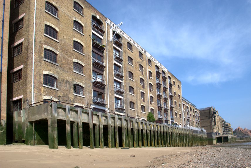
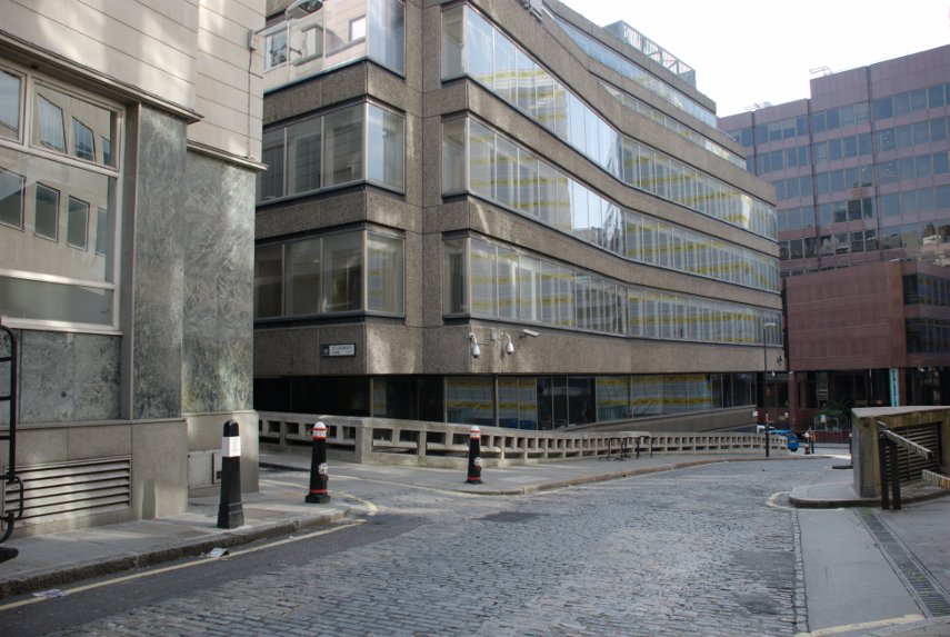
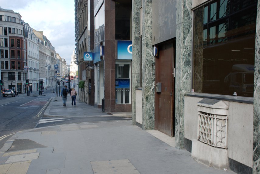
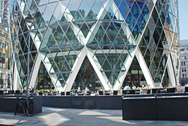
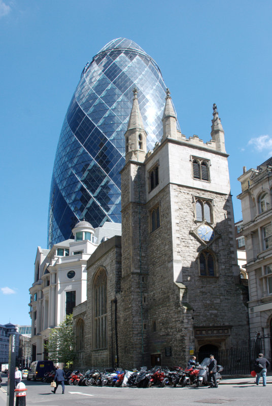
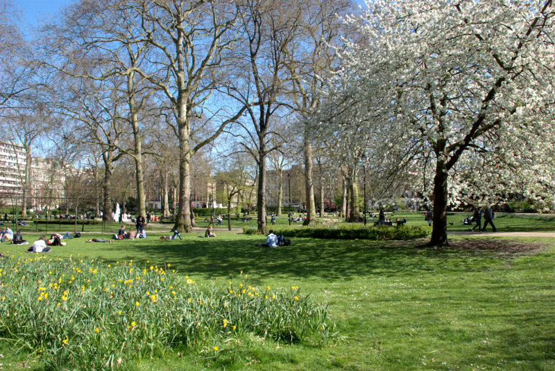
Before I continue with this post I’m going to get you to guess what/where this might be. I’ll give you a few days and I’ll also give you a clue. It’s in London. There, that narrows it down a bit doesn’t it? ![]()
9:30 AM Sunday 5th May 2013.
Clever-clogs Annecyborn was the first with the correct answer. It was, indeed, the Gherkin and this shows the whole width of the base.
Another sunny day forecast, another trip.
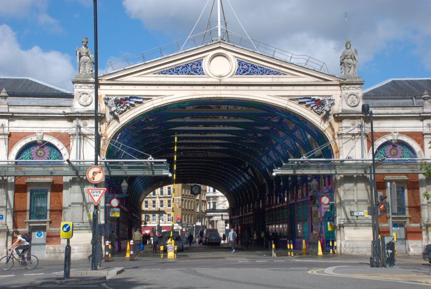
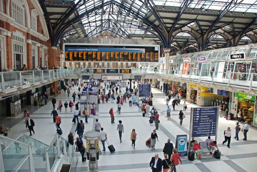
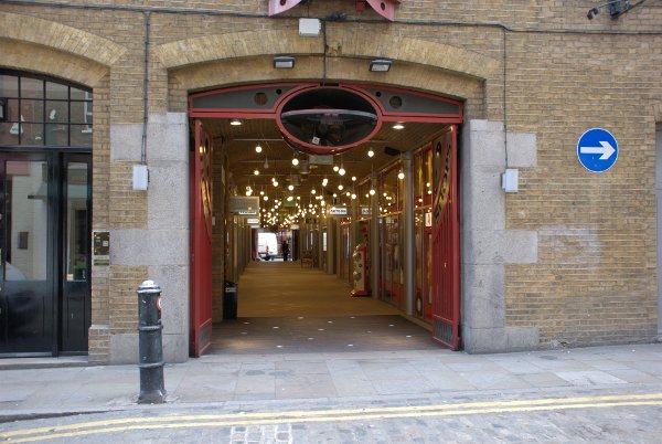
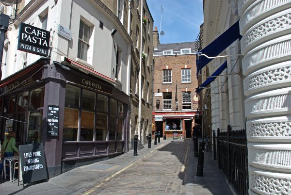
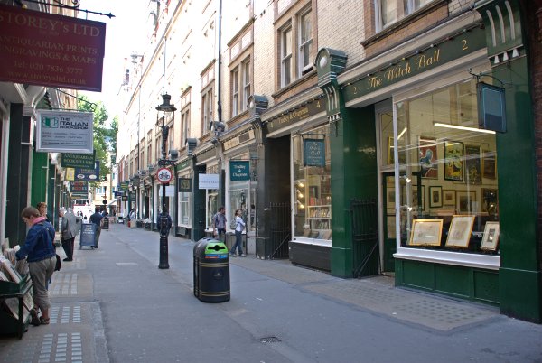
We arrived at our London terminus, Liverpool Street Station, and went out into Bishopsgate where we turned north and walked until we reached Brushfield Street on the east side of Bishopsgate. Walking along Brushfield Street we soon arrived here:
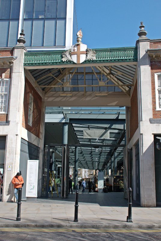
That is one of the entrances to Old Spitalfields Market. The area belonged to St Mary Spital, a priory or hospital erected on the east side of the Bishopsgate thoroughfare in 1197, and the name is thought to have been derived from that.
By the later 19th century inner Spitalfields had eclipsed rival claimants to the dubious distinction of being the worst criminal area in London and it is this area that is associated with Jack the Ripper.
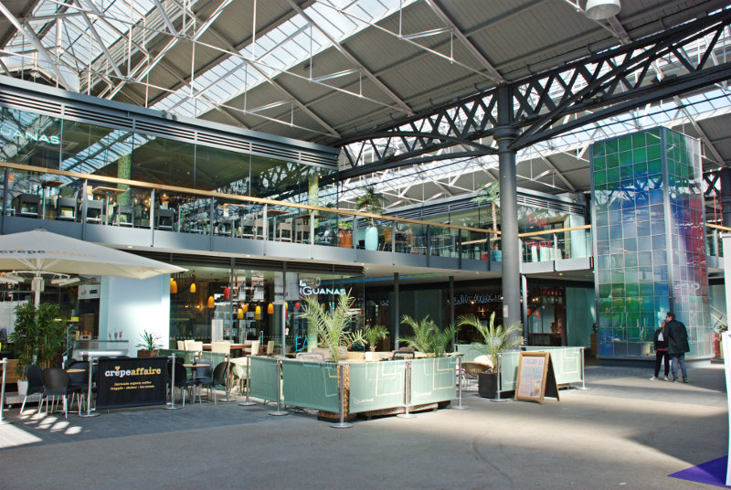
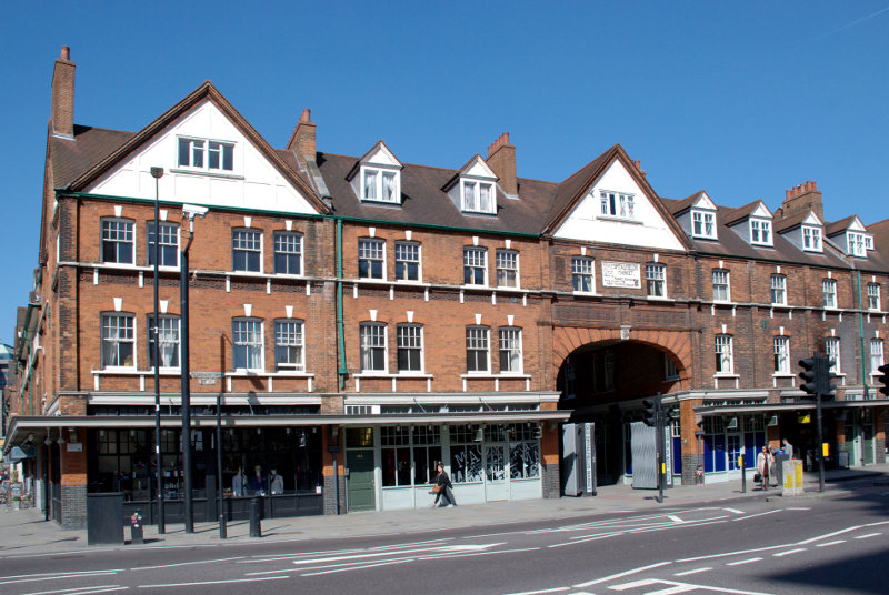
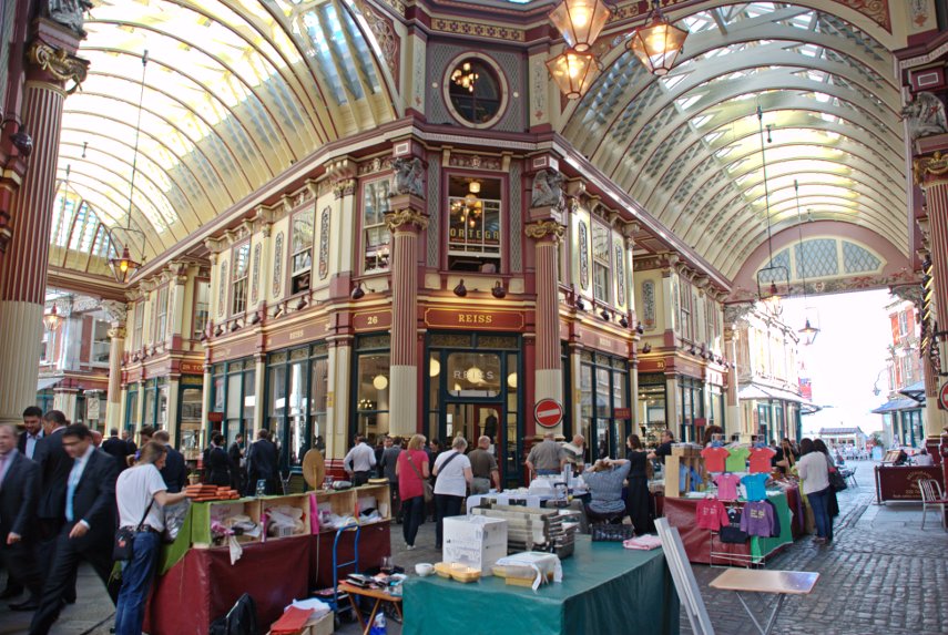
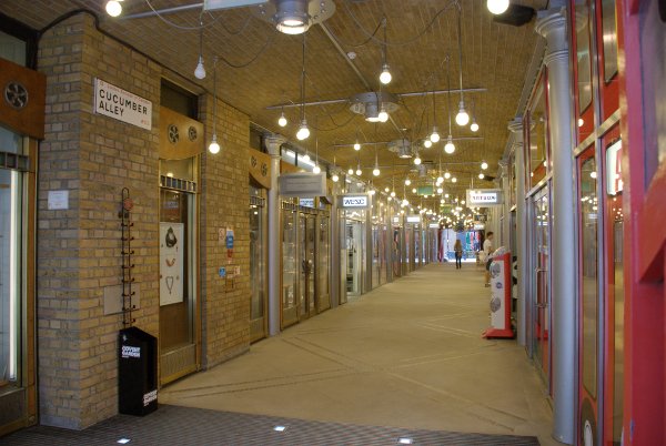
The market building is 19th century and turned out not to be particularly interesting architecturally unlike, for example, Leadenhall Market. There are plenty of shops including cafes which seem popular but we weren’t really interested in those so we moved on.
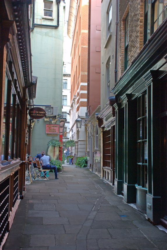
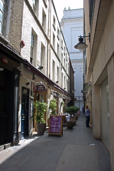
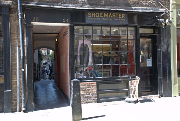
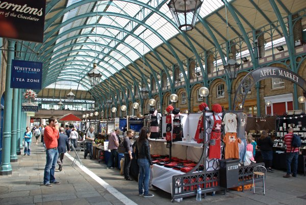
We came out of the eastern end on Spitalfields Market and walked south along Commercial Street, turned right into White’s Row, left into Bell Lane until we came to Frying Pan Alley. There is nothing special about Frying Pan Alley except it’s name and with a name like that we just had to walk through it.
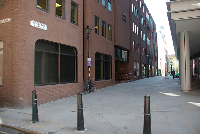
It is an old alley although, sadly, all the old buildings have been razed to make way for modern buildings. However this alley once housed numerous Ironmongers who identified their premises by displaying a frying pan outside.
On the map above Spitalfields Market is top right and Frying Pan Alley is marked with an arrow.
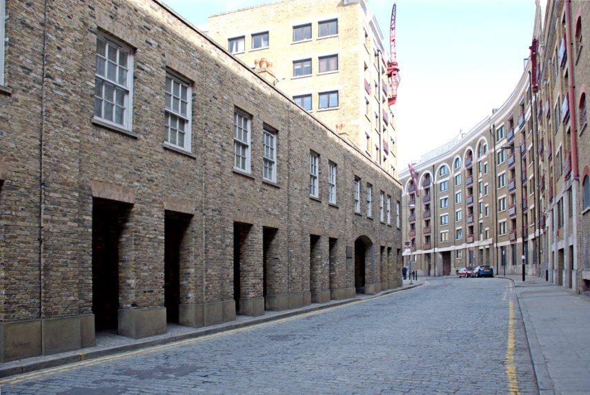
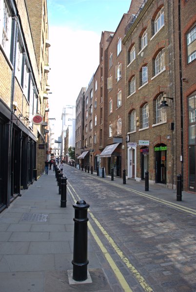
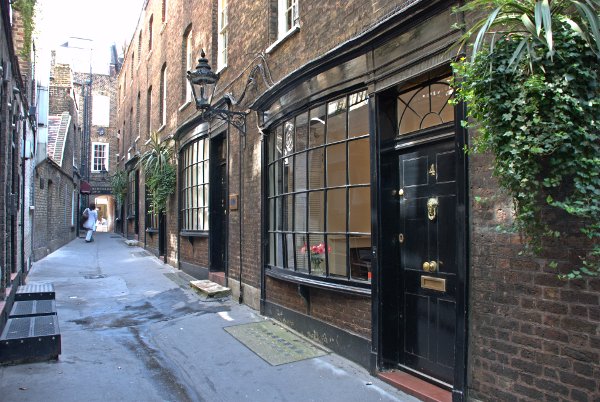
We came out of the west end of Frying Pan alley, turned left into Sandy’s Row, right into Middlesex Street, forked left into Catherine Wheel Alley (named after the Catherine Wheel Inn which was demolished in 1911) then left again into Cock Hill. It’s a maze of narrow streets and alleys round here. That took us, via a dog leg, into New Street and after turning left into yet another alley we found ourselves in Devonshire Square. You may be able to trace our route on the map above in the darkened rectangle.
Devonshire Square is area enclosed by buildings and accessible only via alleyways. All these alleys and squares are old but the buildings have obviously been replaced.
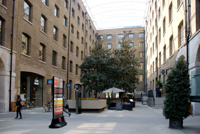
Devonshire Square is actually a number of individual squares connected by alleyways and as we wandered through we came across this life-size sculpture of a knight on horseback.
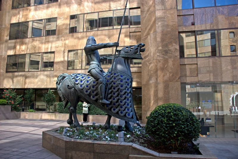
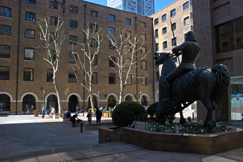
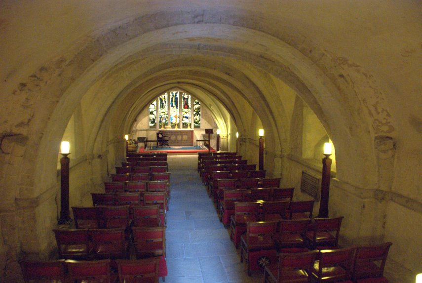
King Edgar (944-975) made an agreement with a group of 13 knights that he would give them land near to this spot on condition that they would each engage in three combats, one on the ground, another on water and the third below ground.
We did wonder how they could have fought below ground but after thinking about it we decided that they could have used a cellar or crypt.
We made our way out of these squares and alleys and headed south towards the Gherkin.
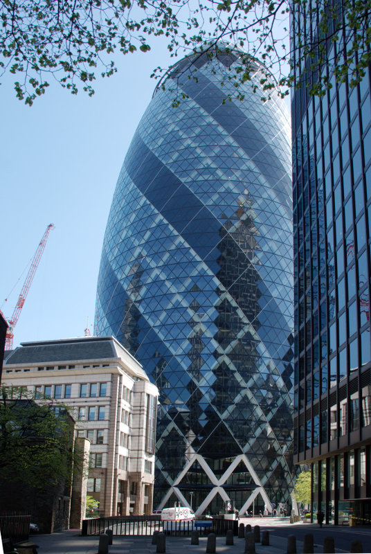
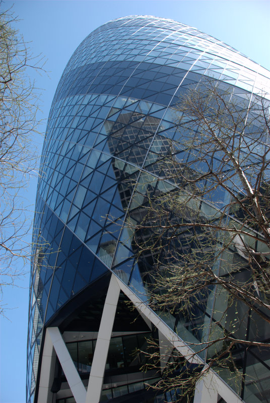
We couldn’t really miss it could we?
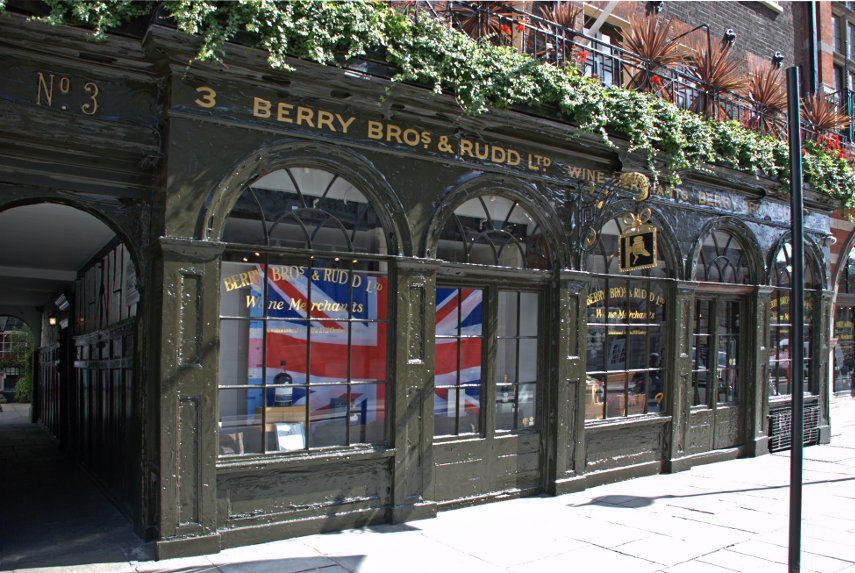
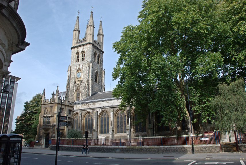
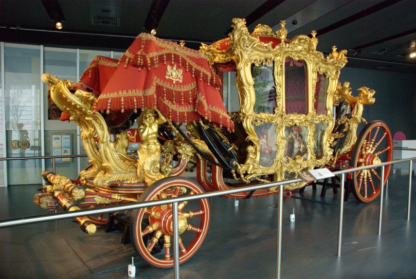
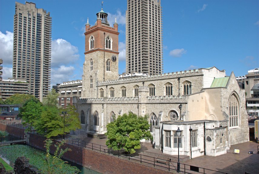
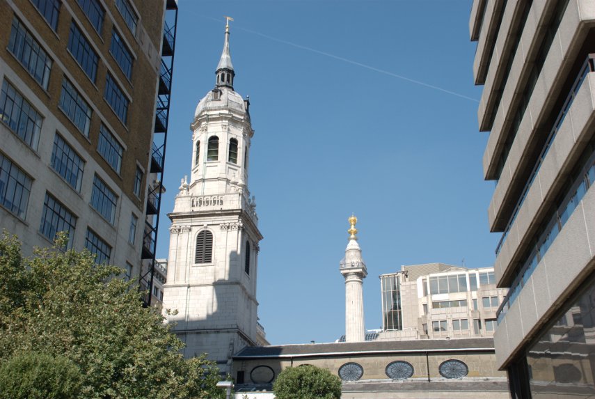
Nearby is the medieval church of St. Helen’s dating from the 11th century. It is the largest surviving church in the City of London and it contains more monuments than any other church in Greater London except for Westminster Abbey.
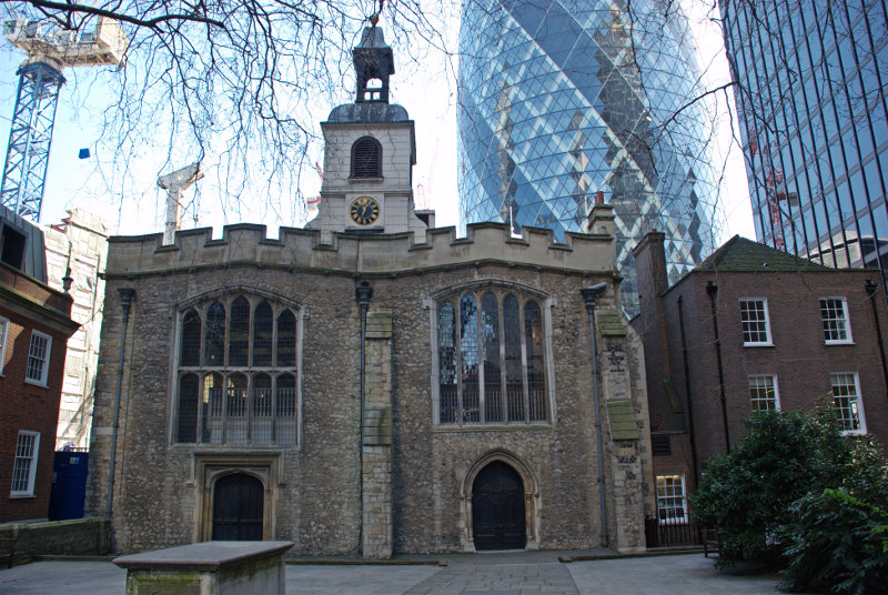
It is unusual in that it was designed with two parallel naves, giving it a wide interior. Until the dissolution of the priory in 1538, the church was divided in two by a partition running from east to west, the northern half serving the nuns and the southern the parishioners. That partition has since been removed. It is the only building from a nunnery to survive in the City of London and one of the few churches to survive both the Great Fire of London of 1666 and the Blitz during World War II.
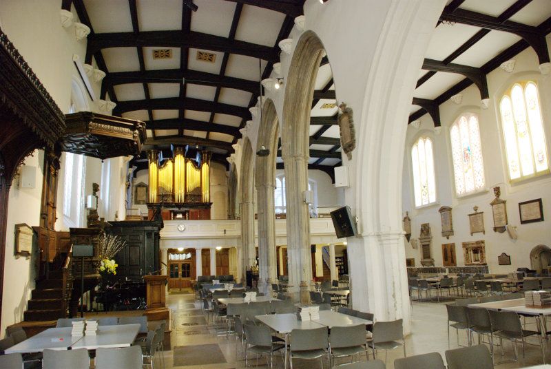
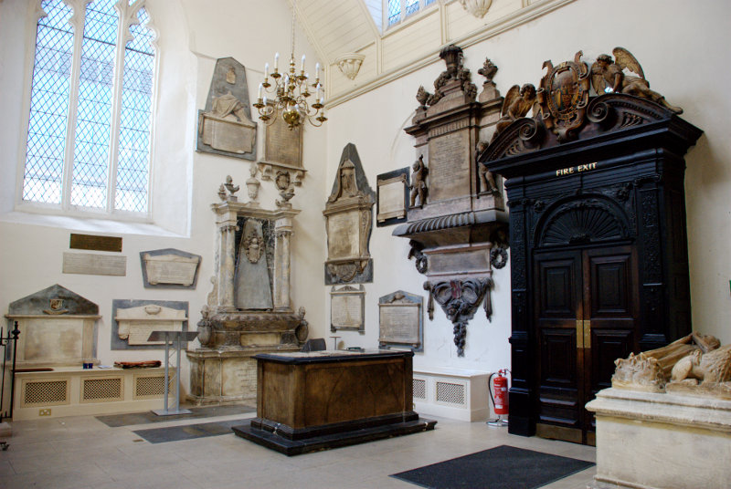
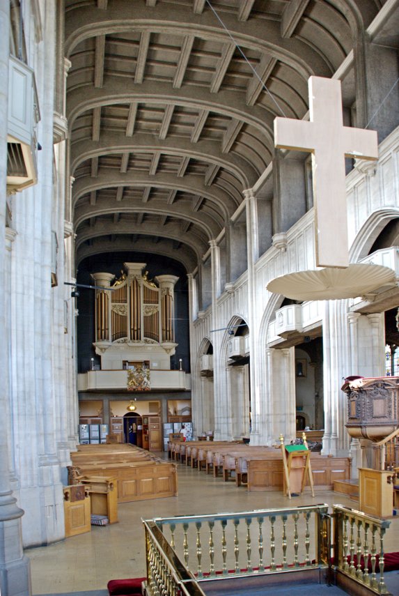
You can see that they have cornered the market in monuments and there were more all over the floor. This church was William Shakespeare’s parish church when he lived in the area in the 1590s.
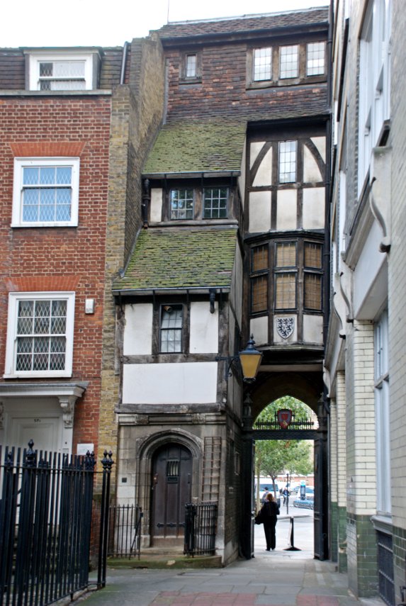
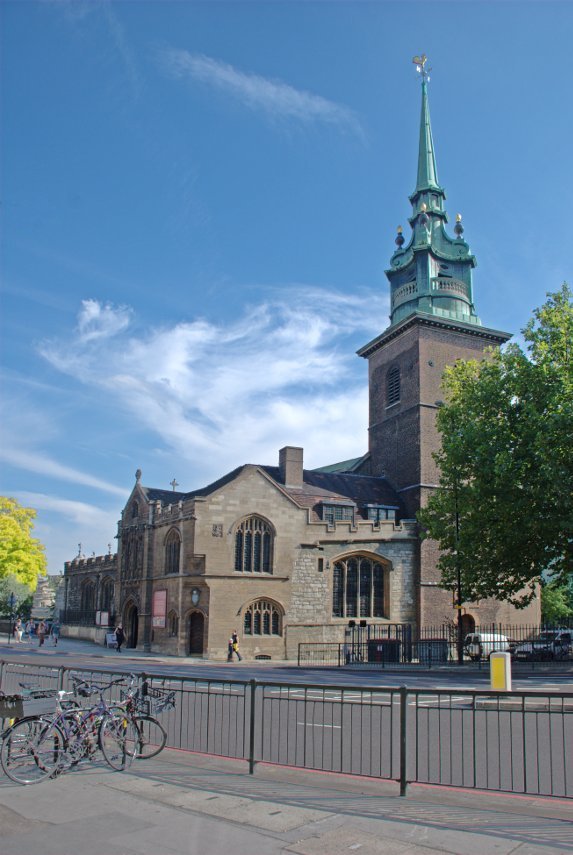
Heading south down St. Mary Axe towards Leadenhall Street we passed another medieval church – St. Andrew Undershaft dating back to the 10th century although the current building is mainly 16th century. This is another city church that survived both the Great Fire of 1666 and the Blitz.
The church’s curious name derives from the shaft of the maypole that was traditionally set up each year opposite the church until 1517 when the custom ended.
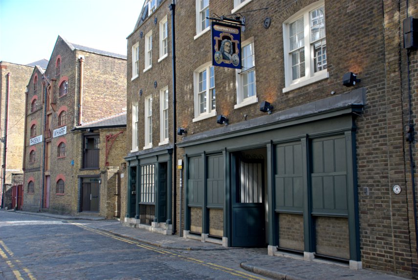
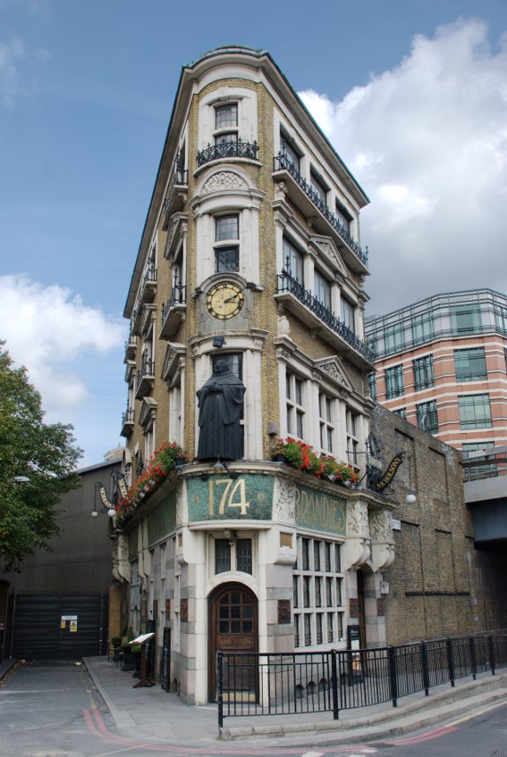
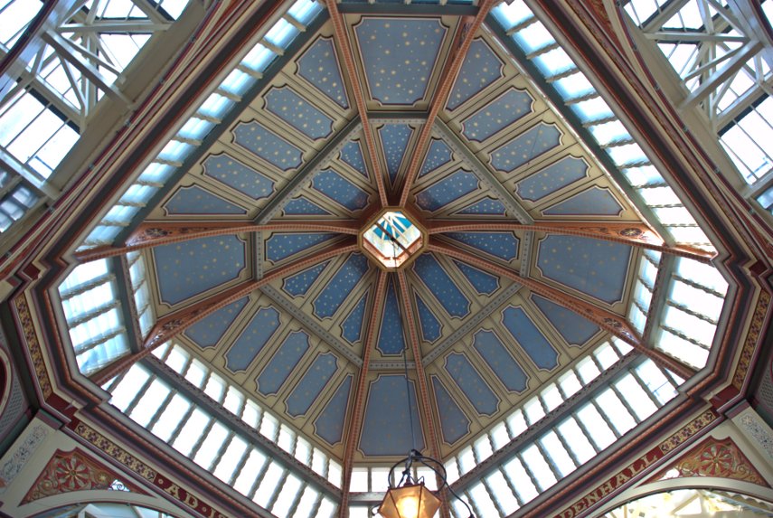
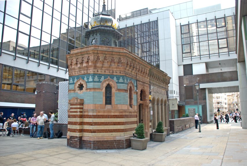
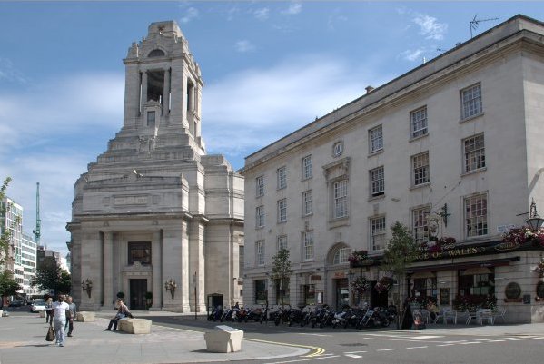
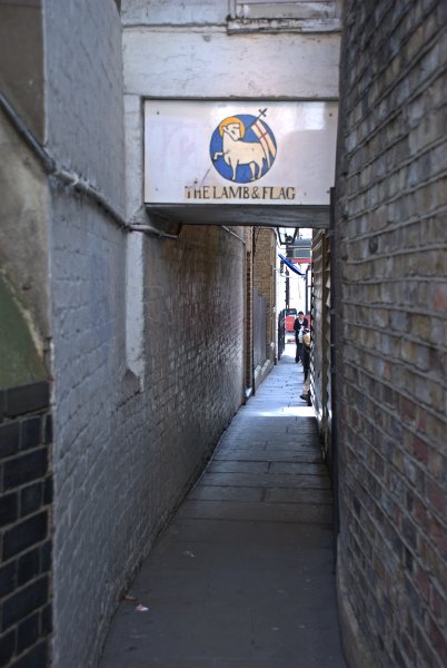
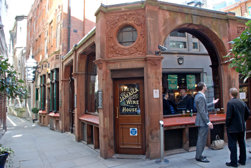
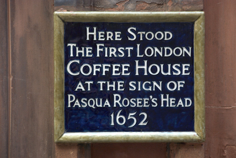
We were now headed west to the Guildhall where I was hoping to get a photograph which is better lit than the last time we were here. We went via St. Michael’s Alley, which we previously visited when we went to Leadenhall Market, and I took a photograph of the Jamaica Wine House. This was originally London’s first Coffee House.
We soon arrived at the Guildhall where I took my photograph.
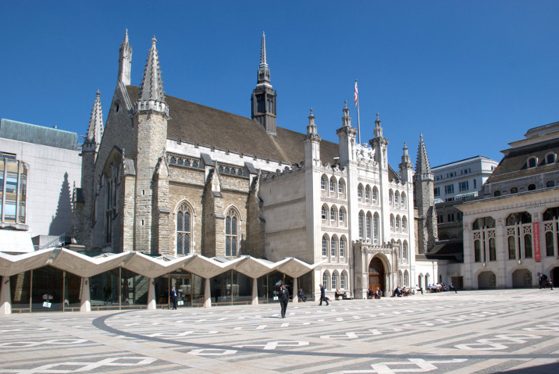
The last time I tried it was late in the day when the sun was low and there was a large dark shadow across the courtyard and across part of the building. Much better this time.
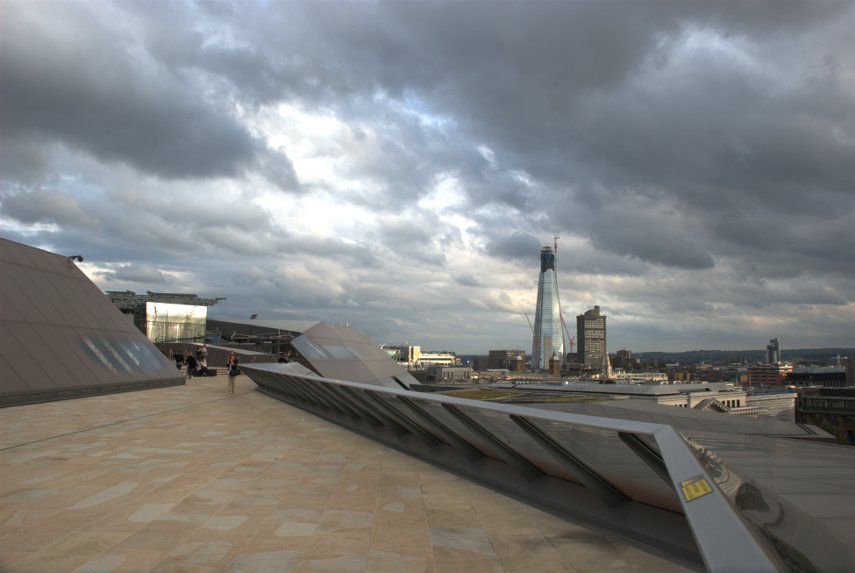
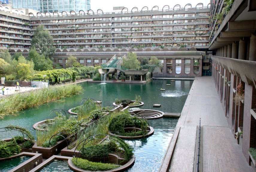
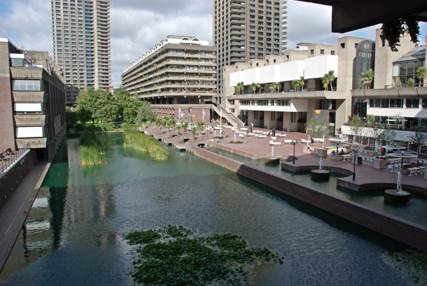
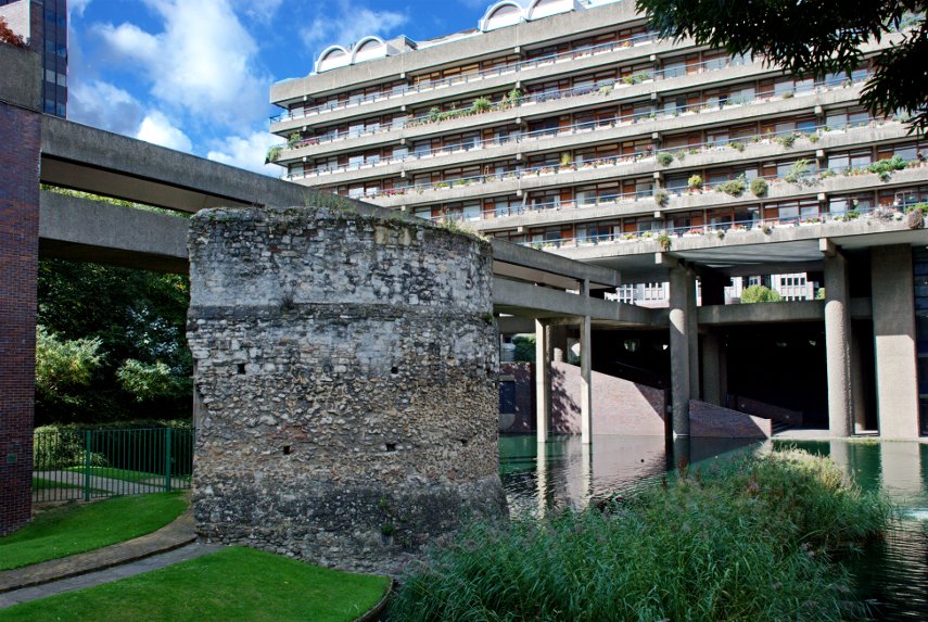
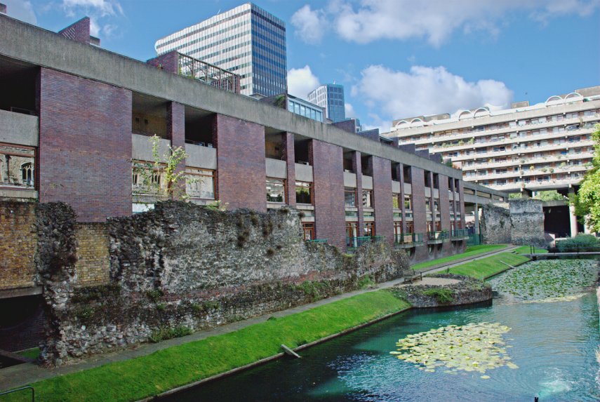
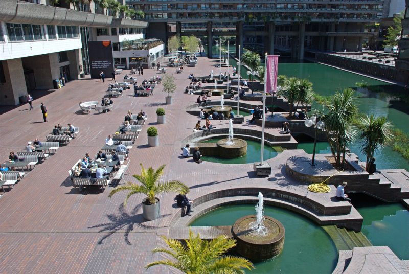
We now headed for the Barbican and arrived at about lunchtime. This is the Barbican Centre Terrace and that low building ahead on the left is the Barbican Food Hall (not a particularly imaginative name) where we were going to have lunch.
It was not at all expensive at around £9.50 for a main course and the food was beatifully cooked and very tasty. We both had Thai Red Curry of Duck Leg with saffron rice, vegatable rolls and Coconut Dip. The duck meat just fell off the bone and we thoroughly enjoyed it. To be recommended if you are ever this way.
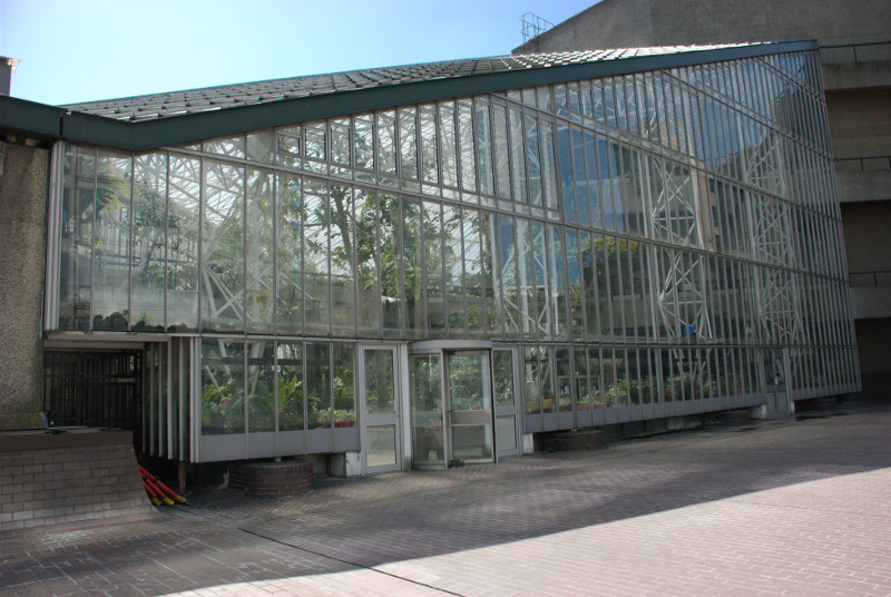
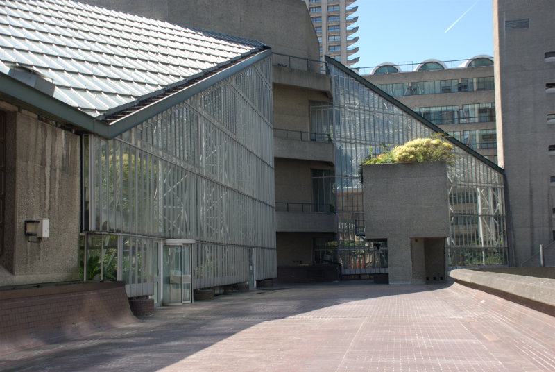
After lunch and before we left we went up 3 levels to where the conservatory is situated. It was not open today as we expected but I took a photograph from the outside of part of it to show what the construction is like.
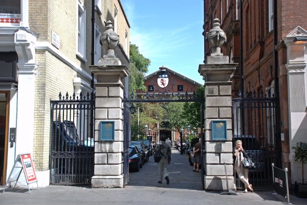
We left Barbican and emerged into Aldersgate Street a little north of the Museum of London where we caught a bus going north to the Angel, Islington, where another bus took us west along Pentonville Road to St. Pancras.
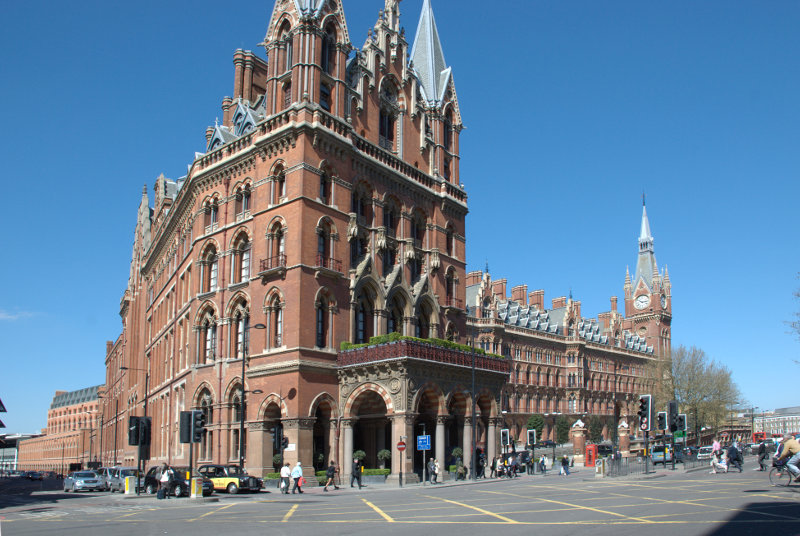
For a railway terminus that is a pretty impressive victorian building. However we hadn’t come here to see that specifically we had come to visit the British Library.
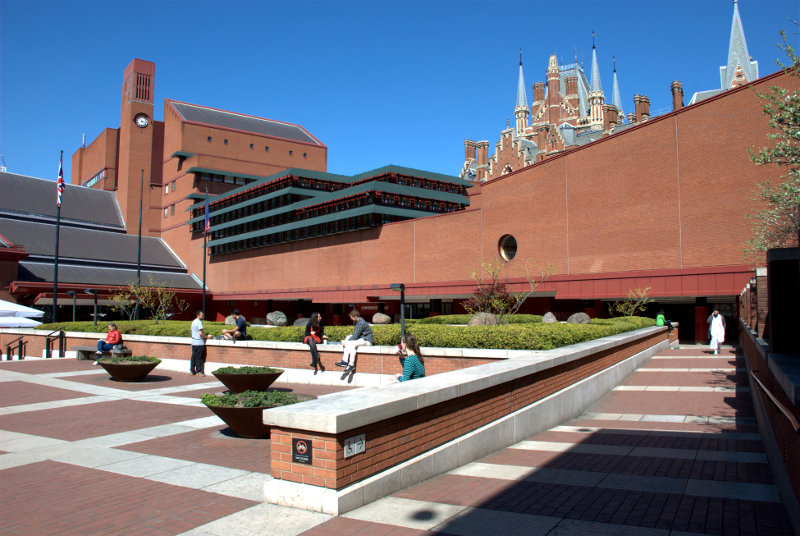
That’s St. Pancras Station peeping over the wall in the second picture.
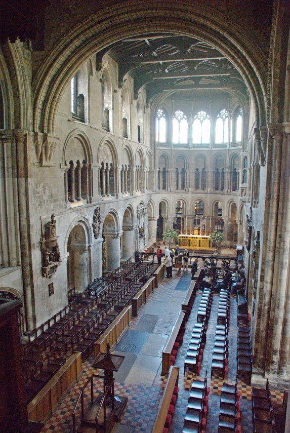
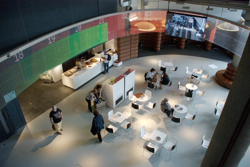
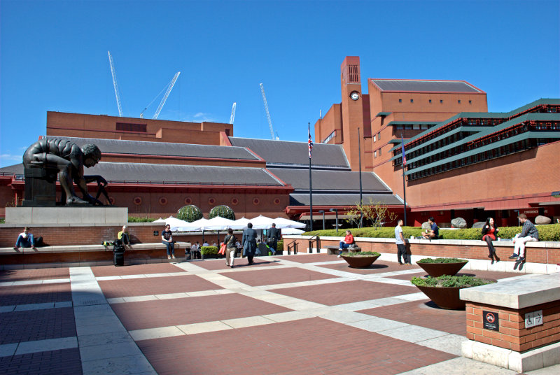
This is a large, impressive modern building with a very interesting construction. This is the entrance hall.
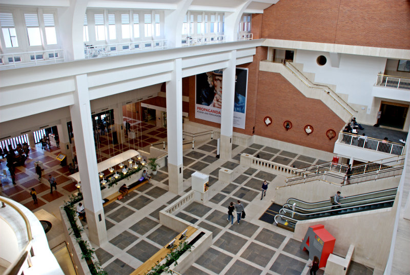
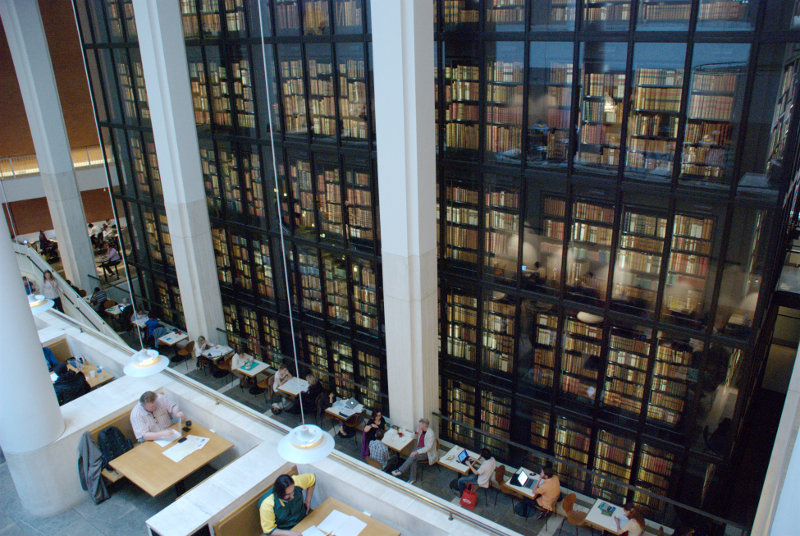
The library holds over 150 million items from many countries, in many languages so it may take you a little while if you want to read them all. It also includes the King’s Library; a collection donated by King George III and housed in the King’s Library Tower, a six-storey glass and bronze structure in the entrance hall. This shows just part of the King’s Library Tower.
A number of books and manuscripts are on display to the general public in the Sir John Ritblat Gallery which is open seven days a week at no charge. Some of the manuscripts in the exhibition include Beowulf, the Lindisfarne Gospels and St Cuthbert Gospel, a Gutenberg Bible, Geoffrey Chaucer’s Canterbury Tales, Thomas Malory’s Le Morte d’Arthur (King Arthur), Captain Cook’s journal, Jane Austen’s History of England, Charlotte Bronte’s Jane Eyre, Lewis Carroll’s Alice’s Adventures Under Ground, Rudyard Kipling’s Just So Stories, Charles Dickens’s Nicholas Nickleby, Virginia Woolf’s Mrs Dalloway and a room devoted solely to Magna Carta. That lot should keep you amused.
They also hold copies of all web sites and blogs which have the suffix .uk which will include this web site and blog. In that copy of this web site there will be a picture of the British Library and in that library will be a copy of this web site and …. ad infinitum.
We decided it was time to leave and so went out into Euston Road. Walking south-west along Euston Road we turned left at Dukes Road which led us to Woburn Walk.
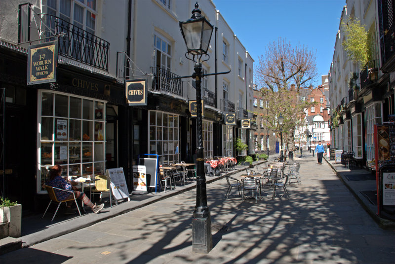
This attractive pedestrian street features beautifully preserved bow-fronted buildings that were built in 1822. A plaque on one of the buildings marks the house of W. B. Yeats, who lived here between 1895 and 1919 and the street is home to restaurants, bookshops, and galleries.
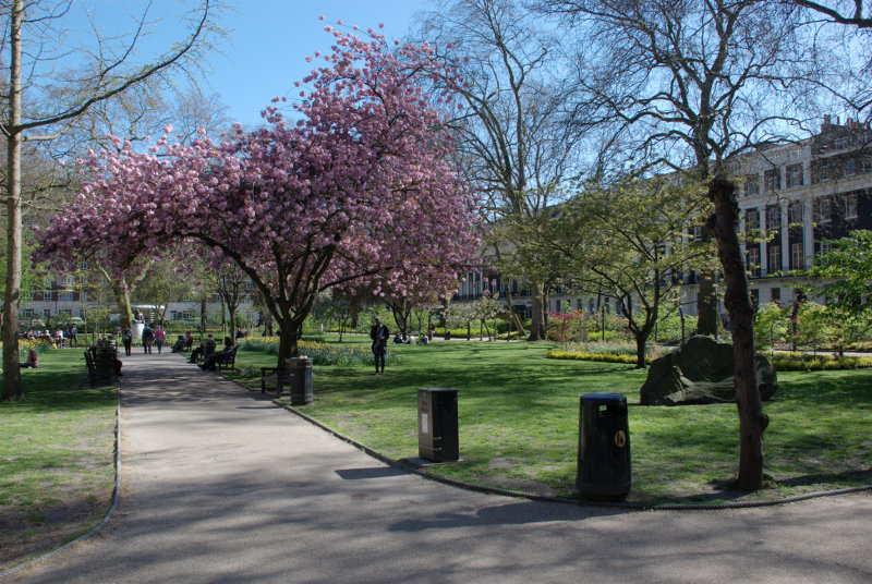
Our next, and last, planned stop was the Charles Dickens Museum just off Grays Inn Road in Doughty Street. We planned to walk through a number of what we hoped would be attractive squares on the way. It turns out that they were.
Starting with Tavistock Square:
and finishing with Russell Square.
We soon after arrived at the museum. The entrance door is the one on the right.
There is a sign on the railings giving opening times and it closes at 5:00 PM with last entry at 4:00 PM. So what’s the time? 4:10 PM. Oh #@**&^!! ![]()
So we didn’t get to see it after all that. Next time perhaps. We caught a bus to Holborn, changed to a bus to Liverpool Street Station and caught the train to go back home.