On the road to nowhere
In April 2017 we traversed the Cambrian Mountains, on our way to Devil’s Bridge, on one of only two roads which go over the Cambrian Mountains. This is the blog that covers that trip. https://www.beenthere-donethat.org.uk/deoprrssw/?p=2428
We now decided that it was time to explore that second road. We weren’t going to a particular destination but purely to see what that road was like (Have you ever had a premonition that you are about to make a mistake?).
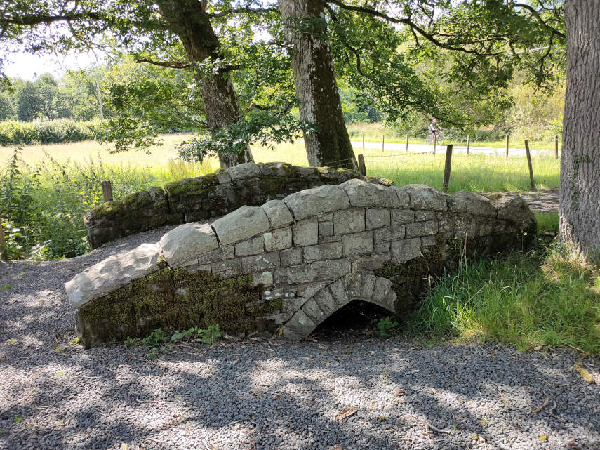
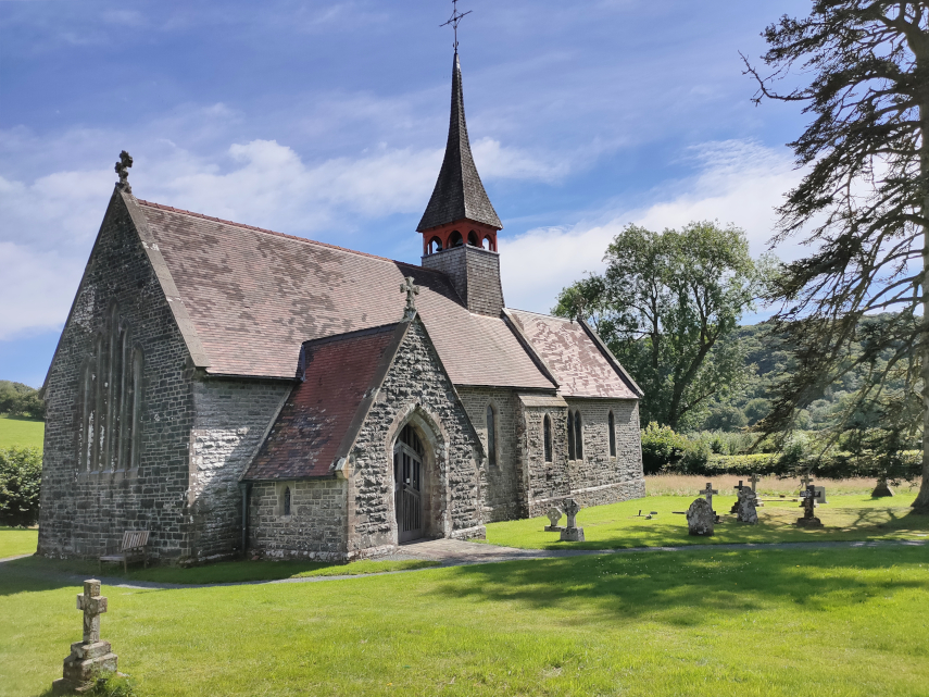
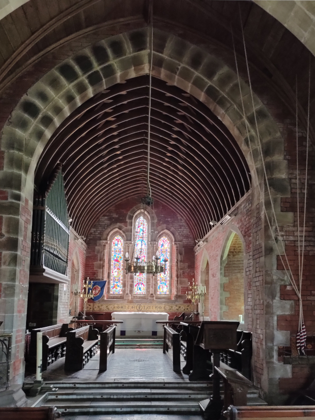
We headed off, on a warm sunny day, towards Beulah. Yes, I know, you’ve never heard of it. Well it’s a small village about 8 miles south-west of Newbridge-on-Wye in Powys. This is where the mountain road starts and having turned on to it, and before we’d left Beulah, we spotted a nice little church which we had to explore. The original path into the churchyard went over this cute little bridge but the current path bypasses the bridge.
And this is the little church. It is not very old, having been built in 1867, but it is very attractive.
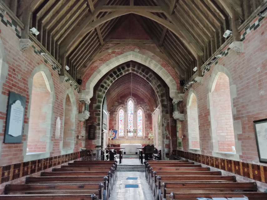
Having had a quick look round ( what else can you do with a church that small?) we set off again along the road. This road is just one car’s width and does have passing places but you can bet that you won’t be near one when you meet a car coming the other way.
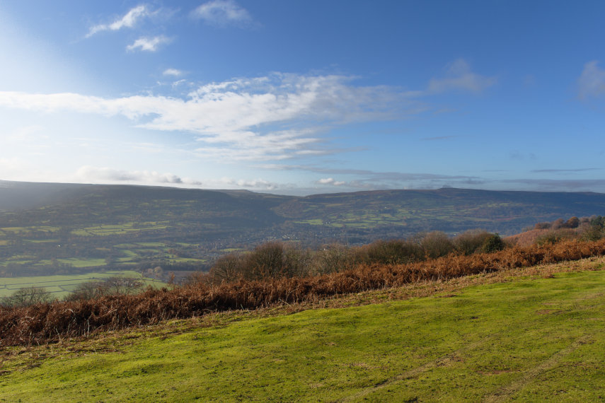
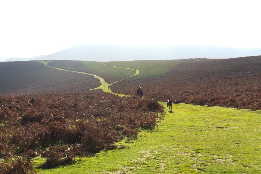
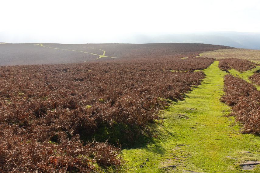
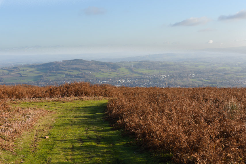
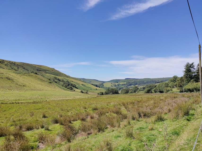
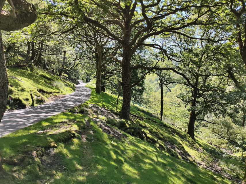
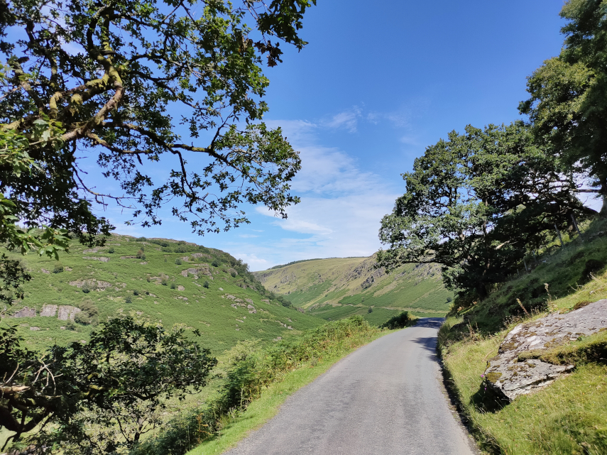
The first part of this road is mainly wooded but eventually after a gentle climb of some miles we came out into the open. We continue to head upwards through that valley round to the left.
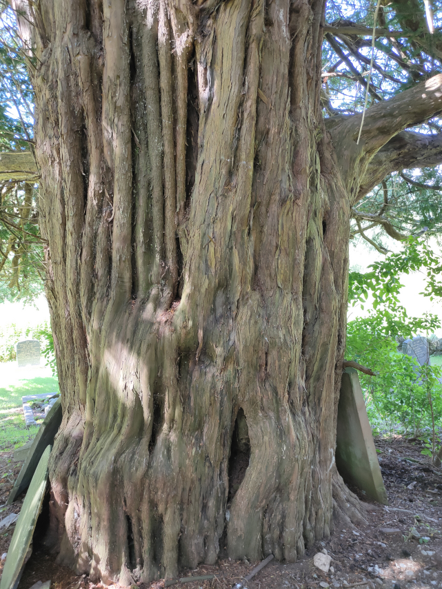
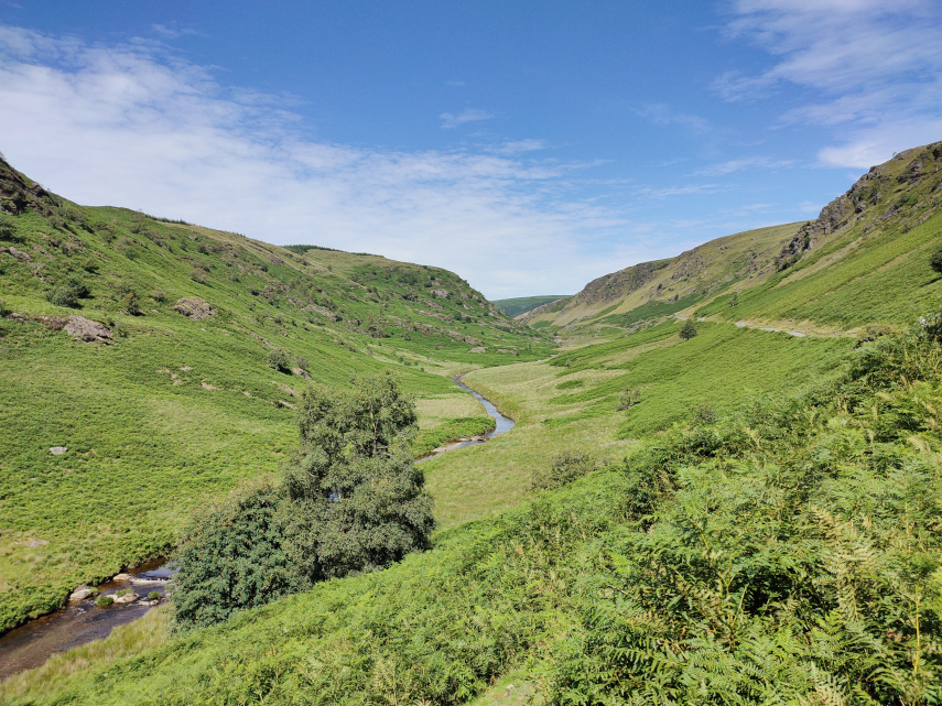
We carried on to the village of Abergwesyn where we’d heard there was a ruined church. We couldn’t find the ruined church, if it still exists, but we did find the old churchyard with a mega Yew tree.
We carried on and soon went into another wooded section of the road with an unprotected steep slope on one side. No barrier to stop you driving off the edge and you do have to drive relatively near the edge because the road is so narrow.
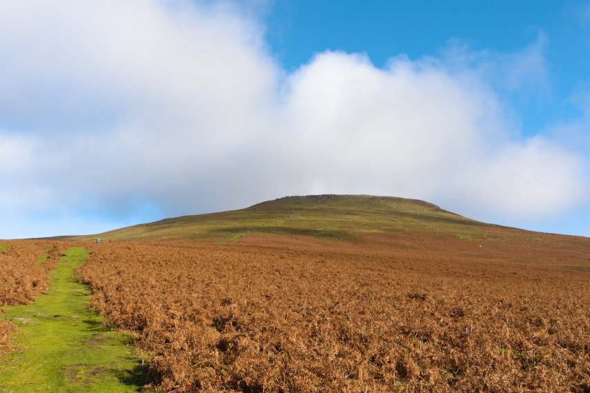
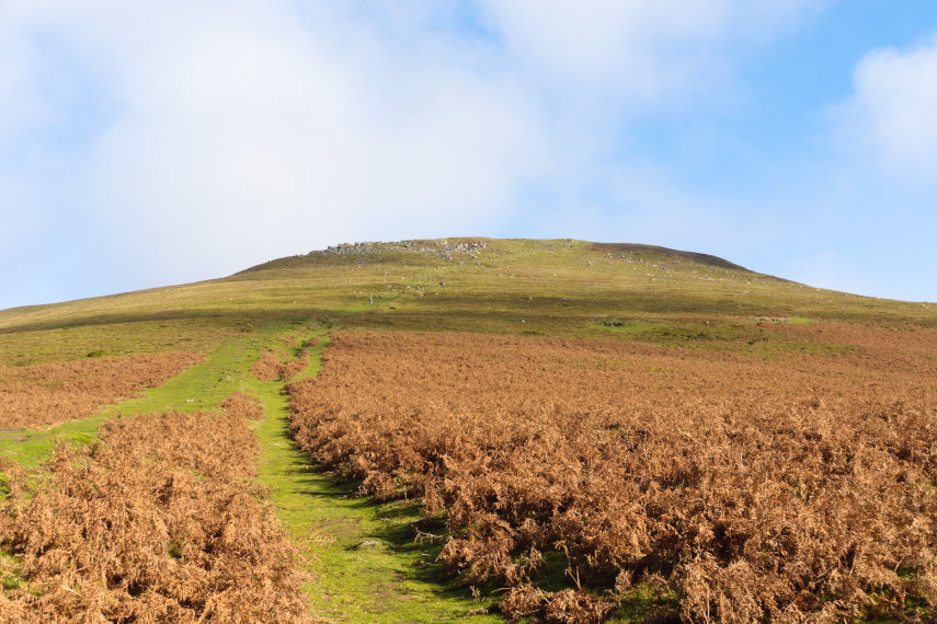
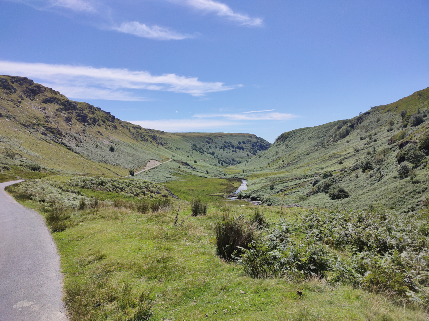
I was quite pleased when that was over. Next we reached the Devil’s Staircase – a steep bit of read with some hairpin bends. The name is more worrying than the actual road and we successfully negotiated that section without problems. We reached another open area and we are still climbing but the views were getting better.
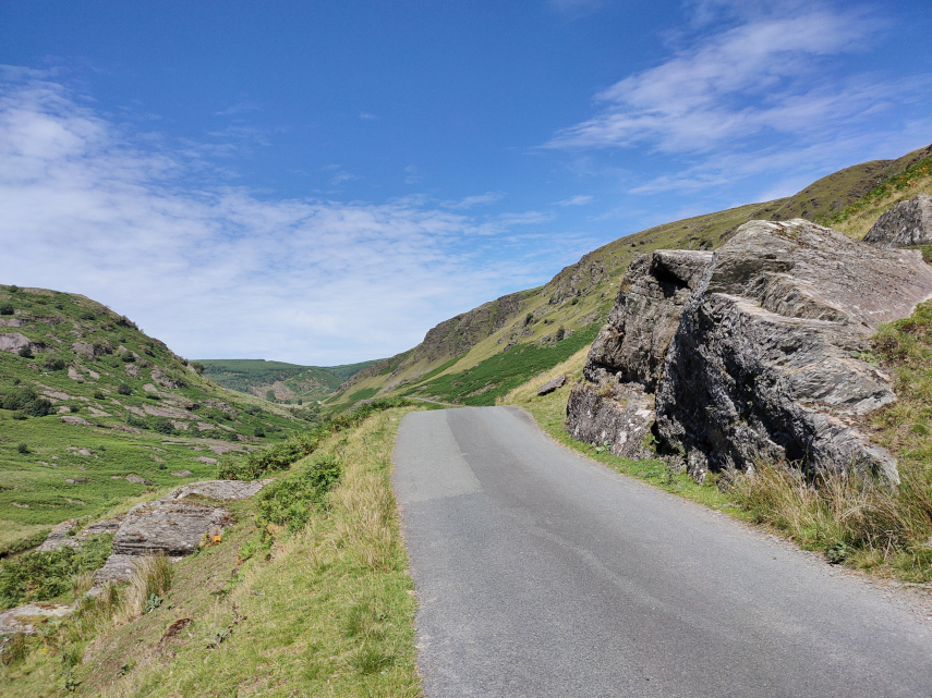
The road was beginning to get interesting now. It was bending in three dimensions and they tended to be sharp bends. When the bend was in the vertical plane the road beyond the top of the hill couldn’t be seen until the car was beginning to tip down the other side so one couldn’t see which way the road was going to go and there was always the possibility of a car coming the other way. Travelling was slow and if there was a short stretch where one could attain 20 MPH then that would be considered very fortunate. The same applied to bends in the horizontal plane – it meant driving really quite slowly. Don’t pick an argument with a rock – you won’t win.
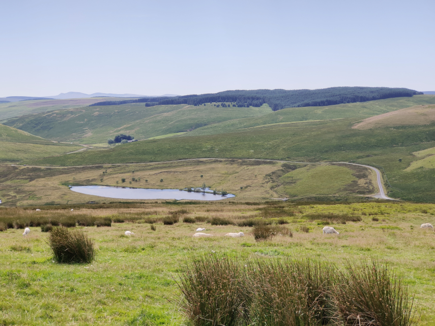
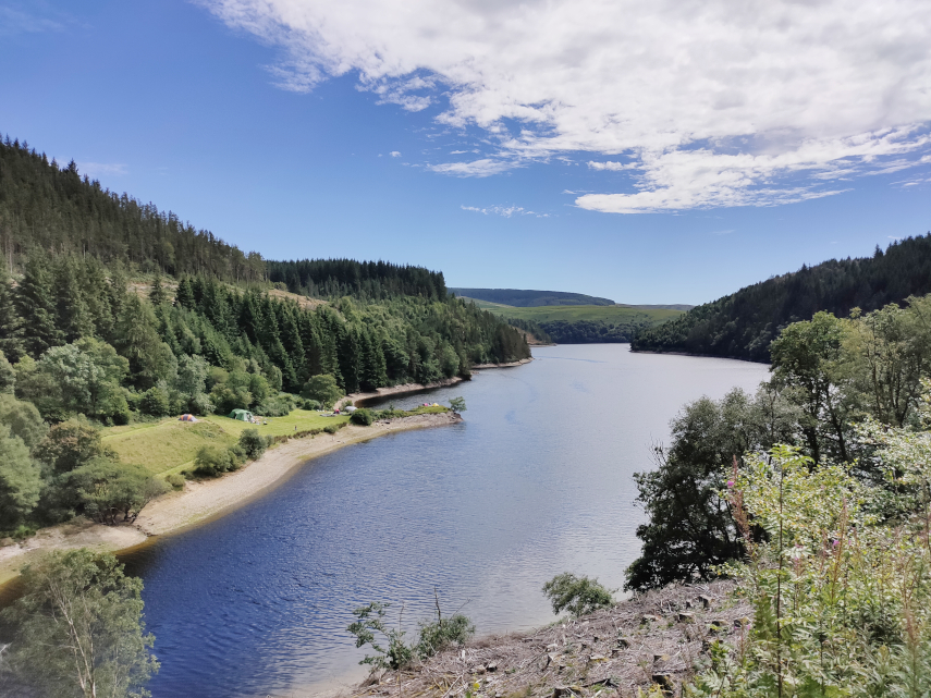
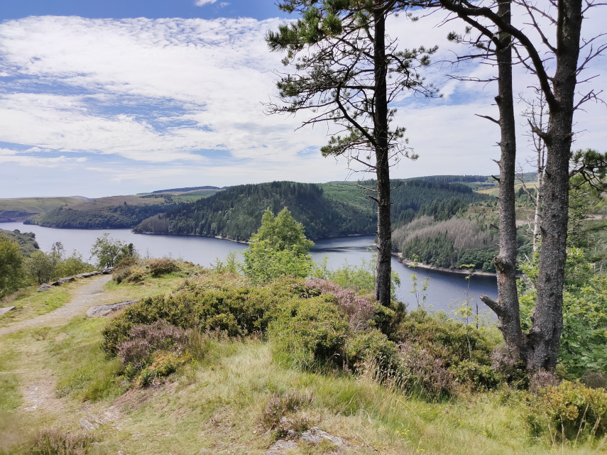
Having reached the top we took a 7 mile detour to have a look at a reservoir we had heard about, Llyn Brianne, and it turned out to be a worthwhile detour. But it certainly increased our bend count.
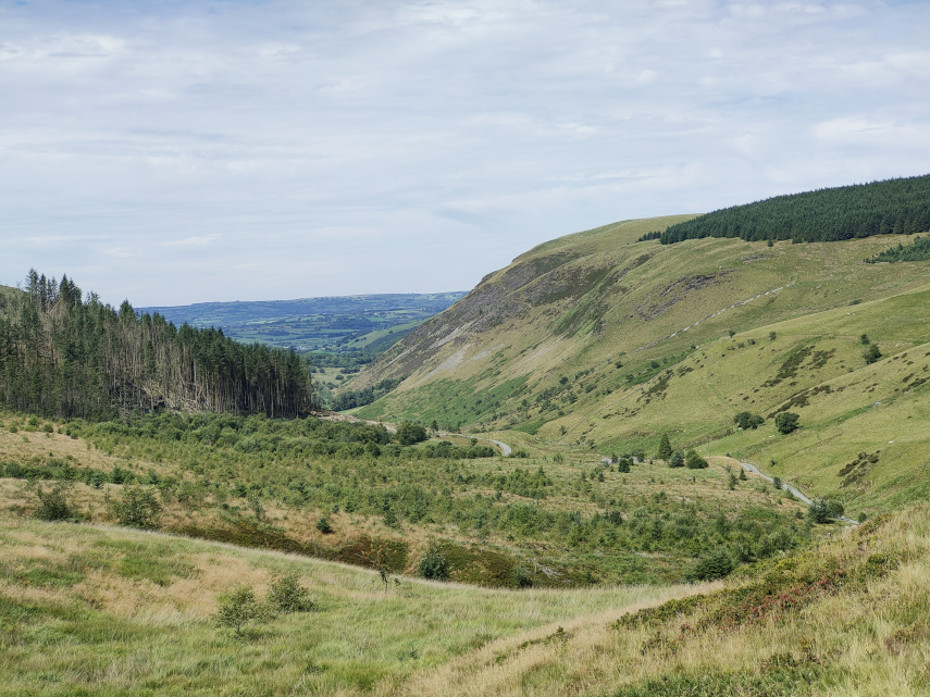
Our road was now going downhill again but the bends didn’t get any better.
We finally reached the end of the road in a small town called Tregaron which was a relief from the bends – but not for long. We now had to return home which meant travelling the same route in the opposite direction. I was really looking forward to doing all those bends again. ![]()
I can tell you that by the time we reached Beulah again I was rather tired and we still had an hour to go to reach home. However we did reach home without incident and I don’t intend doing that journey again in a hurry!