| BeenThere-DoneThat |  |
The Unofficial Guide to Great Britain |
| Pictures by subject | Somerset | Home | |
| Forum is closed | The Blog | ||
| Exmoor | Location map |
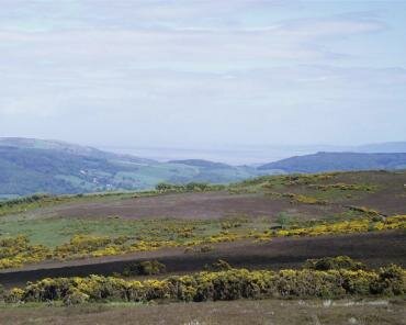 |
The edge of Exmoor on Porlock Hill, near the junction of the B3223 and the A39 roads, looking out over a rather hazy Bristol Channel.
The Gorse (Ulex europaeus) bushes with their distictive yellow blossoms are plentiful here.
|
|||||
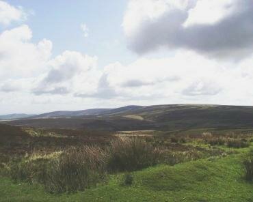 |
Exmoor looking towards Dunkery Beacon from Porlock Common.
The Beacon is the little upwards bulge in the centre of the skyline and is the highest point on Exmoor at just over 1700 feet. Unlike Dartmoor in Devon and Bodmin moor in Cornwall, which are both on volcanic rock, Exmoor is on sedimentary rock of Devonian age (360-408 million years).
|
|||||
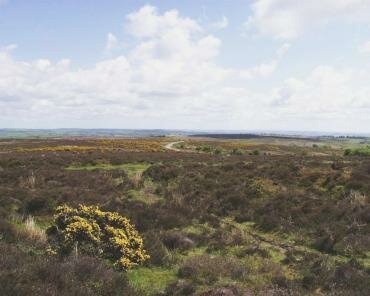 |
Exmoor from Winsford Hill. This is on the B3223, the Porlock to Exford road, north of Dulverton
Most of the brownish clumps of plants are Heather and the obvious yellow bush is Gorse (Ulex europaeus).
|
|||||
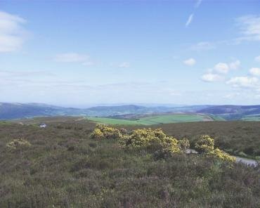 |
Exmoor between Winsford Hill and Dulverton from the B3223 road. The main plants in the foreground are Heather and Gorse (Ulex europaeus).
Tarr Steps, the ancient clapper bridge, is no more than two miles from here.
|
|||||
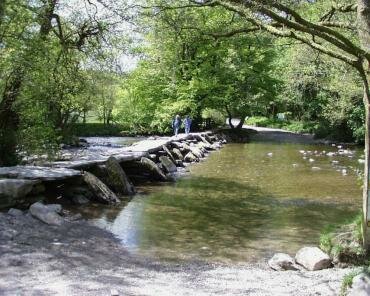 |
Tarr Steps is a clapper bridge. There are 17 spans across 60 yards, the top slabs weigh 1-2 tons and are about 39 inches above normal water level. The largest slab is over eight feet long and is about five feet wide. This bridge is the largest and finest of its type. Age unknown.
It can be reached from the B3223 road between Withypool and Dulverton. There is a large car park a short walk from the bridge and also some parking space for the disabled by the bridge. The name "Clapper Bridge" comes from the latin "claperius" which means "pile of stones".
|
| Forum is closed | The Blog | ||
| Pictures by subject | Somerset | Home | |
| Somerset | |
England |
| All photographs are the copyright © of Barry Samuels unless stated otherwise |