Browsed by
Category: Trip Reports

How to wear out a pair of old legs very quickly.

How to wear out a pair of old legs very quickly.

As today was dry I decided to try part of a walk that Amanda and I have done before. I say ‘try’ because although soon after we first moved to Knighton we walked from the town, up Panpunton Hill (which is VERY steep) then along the ridge and up to the top of Cwm Sanaham Hill I’m not sure that I could do all that with my current state of health.

So I decided to cheat by driving to the top of Kinsley Wood and start the walk from there which cuts out the ‘climbing Panpunton Hill’ bit. That left me with a 4 mile return walk with plenty of ups and downs. Amanda is not joining me on this one as she wants to get some gardening done.

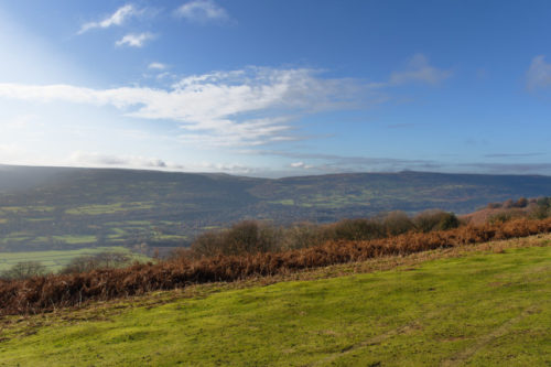
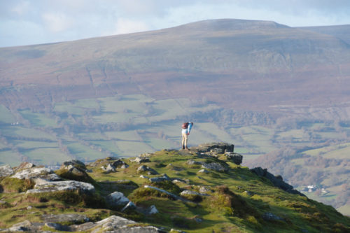
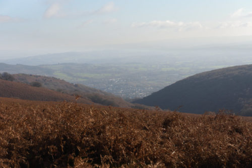
Having parked the car I set off. I had been walking for a while when I arrived at this point and looked back.
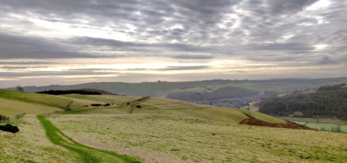
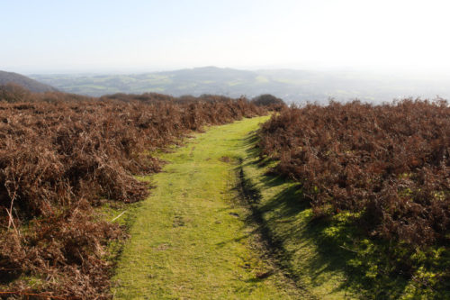
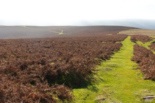
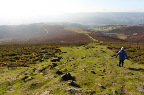
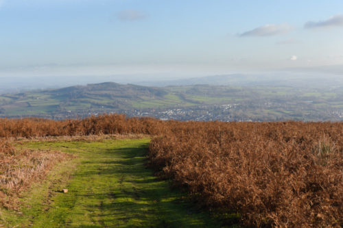
If you look carefully you will see the path (bright green) curving round to the right and eventually disappearing over the brow of a hill in the distance. This is part of Offa’s Dyke Path.

I pressed on and eventually reached the junction where the path from Five Turnings, a very small hamlet, crosses Offa’s Dyke Path. The next picture, again looking back towards my starting point, shows the footpath sign. The yellow pointers indicate the Offa’s Dyke Path and the plain white ones indicate the path from Five Turnings.
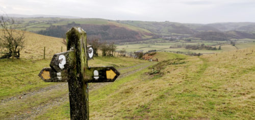
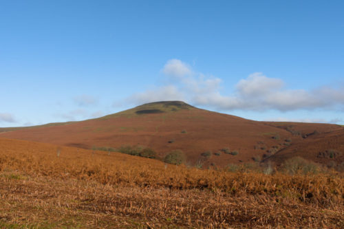
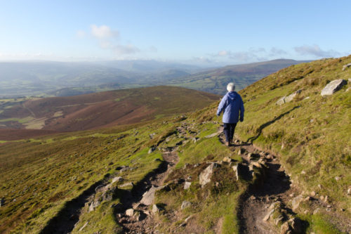
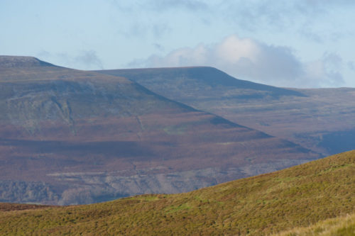
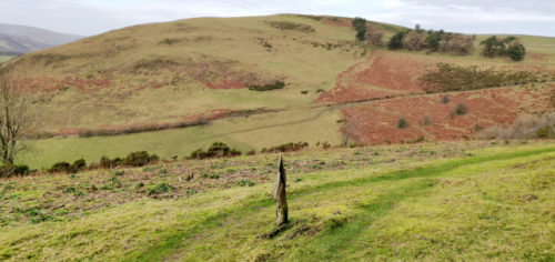
I walked on further to the point shown below which gives me a good view of Cwm Sanaham Hill. Um, err, oh! I’m supposed to be going to the top of that one. The path can be seen curving right out of the picture because it follows the side of that valley in front until we meet the valley floor coming up which saves me a very steep climb down followed by a very steep climb up. That doesn’t mean that there aren’t any slopes it just means that they aren’t as steep as they might have been.
After much grunting, heavy breathing and sighing I do finally make it to the top and to prove it here is a picture of the trigonometry point on the summit. I stopped for a breather and telephoned Amanda to let her know I’d reached my objective (she worries a little y’ know).
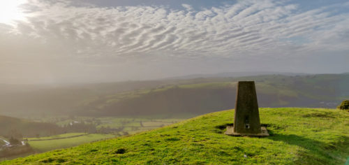
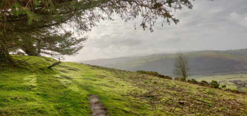
The only snag with this is that I now have to do it all again in reverse. On the way back I stopped to take this photograph just because I liked the lighting effect.
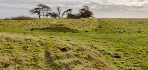
Not long after the above I stopped to take a photograph of Offa’s Dyke itself. There is quite a long run of it here akthough it isn’t as high as it is in some places.

At this point there is a gap in the dyke and the end of the dyke in front is shown by the shadow. The rough ground on my left is the continuation of the dyke behind me. You may notice the inevitable sheep.
I short while later I saw two large black birds fly across my route, at some height, and from the calls they made I would guess that they were Ravens but I’m no bird expert so don’t quote me on that one.

I finally made back to the car after a walk of 4 miles, which took me 2 hours and 20 minutes with an elevation gain of 832 feet. Cwm Sanaham Hill is 1342 feet high ( and feels it).

Now, if you’ll excuse me, I’m off to the local leg shop to buy a new pair – my current ones have had it.
Judge for yourself.

Judge for yourself.

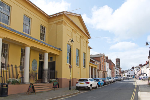
Yesterday we went to Presteigne a small market town about 10 miles from us. We also went there back in the summer and photographed this ochre coloured building which is known as “The Judges Lodging”.

It is open as a tourist attraction and entry is by payment of a small fee. However this Saturday was an open day (free entry) and there was also coffee and cake available at a very modest cost and if there is anything that will pique my interest it’s the availability of cake.

This building consisted of a police station, cells, court room and judges apartment all rolled into one and was built in 1829. It was once called ‘the most commodious and elegant apartments for a judge in all England and Wales’ by Lord Chief Justice Campbell in 1855).

We first visited the Dining Room because of its opulence and splendour (or was it because that’s where we were given coffee and cake?)

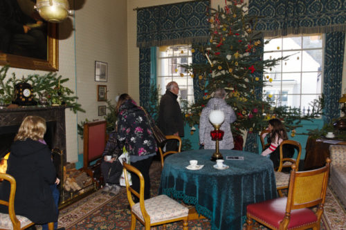
After finishing our refreshments we went through to the Parlour (literal meaning – talking place) where there was a large christmas tree. There were no christmas tree lights because they did not exist in Victorian times. In both these rooms there were proper wood fires burning in the fireplaces; vey cosy. All lighting was either by oil lamps or gas and this building has both.

After seeing these rooms we went upstairs and the decor in the stairwell was typical of the times.

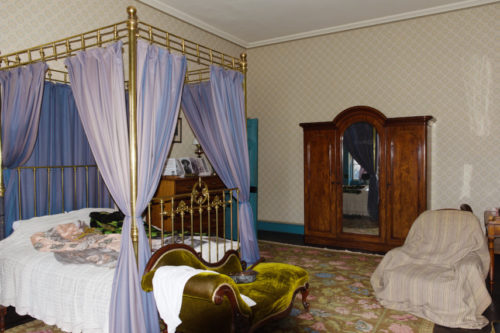
Needless to say the bedroom was furnished as befits a judge.

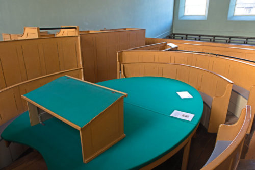
This was, after all, a place of work and this shows the court room with the public stalls right at the back. The judge, naturally, had his own entrance direct from his lodgings.

After dark the court room was lit by gas and the next picture shows the ‘Gasolier’; rather like a chandelier but with gas instead of candles. At this time incandescent gas mantles hadn’t been invented so the light came solely from the flames and I can tell you that that makes it very uncomfortable because the flickering flames act almost like a stroboscope.

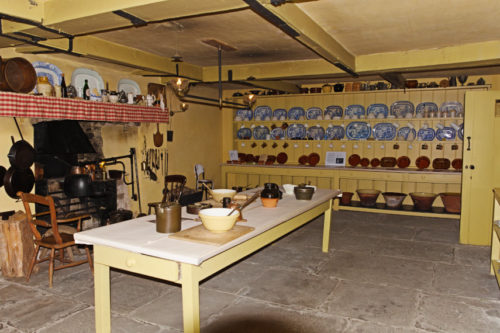
The servants quarters were in the rather dingy basement together with some cells for the prisoners.

I have not included all that we saw here but more will make its way onto the web site at some stage. It was a very interesting visit.

We have been loafing about.

We have been loafing about.

For those of you who may not have seen this expression ‘to loaf about’ it means to be idle but we haven’t been loafing about in the accepted sense.

If one goes out for the day and ends up absolutely and totally knackered how can that be ‘leisure’?

It all started so well. We parked our car, got out and looked around. Lovely!

Then we started to walk along the footpath which sloped gently upward and, as you can see, although it was a sunny day visability looking towards the sun wasn’t all that good but looking away from the sun was better.

Our destination at the moment is off to our left so we are walking parallel to it but it is hidden from us by a slight rise in the ground. Still going up gently we were walking along chatting away and then we reached a point were we could see byond the slight rise which had been blocking our view and saw this.

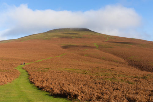
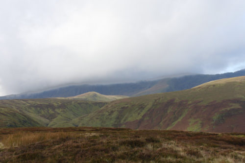
YIKES! No, wait, lots of yikes! The top of that is our destination and it looks a long way away and a long way up. Those clouds are brushing the top of what is known as the Sugarloaf. Before the advent of granular sugar, sugar was sold as ‘loaves’ which were roughly the shape of that mountain; hence the name.

It didn’t look all that impressive when we were looking at the map and planning this trip. We are, by the way, near Abergavenny which is about an hour and a half by car from home. We seriously thought that, perhaps, we had bitten off more than we could chew.

After seeing this view we changed our plans slightly inasmuchas we had planned to go up the right-hand end but after seeing that it was steeper at that end we decided to head for the left-hand end which looked like a shallower (easier) slope. Even then we are still travelling parallel to the Sugarloaf and we were probably going to have to walk further to reach the left-hand ridge.

So we pressed on with the intention of going as far as we could. We reached the start of the path which we had originally planned to take and there were some other walkers heading up that way but we could see that avoiding that route was the right decision. From here the mountain looked slightly nearer. Progress! You may also notice the top is being slightly covered in cloud.

We continued along our chosen path and took a photograph back the way we came which was along the path on the left from the horizon to here which looks quite a long way. Needless to say the lady with the dog soon overtook us oldies.

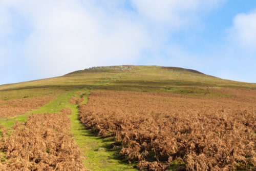
We walked on and from here the slope increased and we could feel our energy slowly but surely fading away. We are now, at least, level with the left-hand edge of the summit ridge and heading towards it. Where the path in front seems to stop suddenly it actually turns towards the right heading for the centre of the summit ridge.

I’m walking fairly slowly now although Amanda can do better than me but is keeping down to my speed. We have now reached a point where the slope steepens again and I suppose we are about two thirds of the way there and I am not looking forward to the last third. Compared with the previous view of the path we have come a long way.

On this section of the path, which is significantly steeper than it looks in the pictures, I find that I am taking about 10 steps and then having to stop for a short rest. I can see that this is going to take a long time. Although it still looks a long way to the summit ridge there is no doubt that it looks nearer although there are some people on the ridge who still look very small indeed.

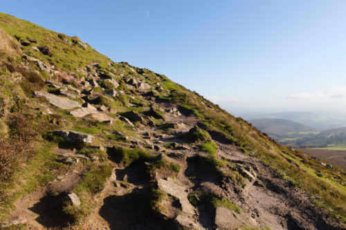
Later on the steepness of the path increased even more to the point that one was stepping up a level at a time rather like stairs which slowed me even more. This is the last part of the ‘path’ which led up to the summit ridge and it was steeper than it looked.

My main problem is that medication I am having to take now has the side-effect of reducing muscle mass which is a nuisance as I didn’t have that much before. I was now seriously thinking that I may have to give up but I just took it a step at a time and we actually did finally reach the summit ridge. I may be slowly falling apart but at least I have 83 excuses for it.

It was certainly worth it with those tremendous views.

Now comes the part I’ve been dreading – going back. We started off back down on that same rough path.

Then Amanda though she would make the descent easy by flying back but couldn’t flap her arms fast enough. It was a good try though.

Going down the steeper parts was rather trying on the leg muscles, especially since I didn’t have any, but stopping to rest and look at the surrounding scenery was good.

The town down there is Abergavenny where we are hoping to go after reaching the car for much needed sustenance.

Abergavenny seems to be getting nearer and that can’t be too soon.

We finally staggered, literally, back to the car and drove the 3 miles to Abergavenny where we visited the Fig Tree Espresso which we hadn’t been to before but had read plenty of nice things about it. As it turned out it was a nice little place where we had a light but late (3 o’clock) lunch. We finished off with a slice of Rose and Chocolate cake which was unusual but very nice indeed.

It was an hour and 30 minutes to get back home after dark. Whew!

A Fortuitous Trip

A Fortuitous Trip

We have had a lot of rain here recently and we were very surprised to see that the weather forecast for Monday (yesterday) was that it would be sunny. We couldn’t miss this opportunity to do something that we had planned to do some while ago so we set off from Knighton for the little hamlet of Chapel Lawn in Shropshire about 6 miles from us.

As we leave Knighton and cross the River Teme we are now in Shropshire and after the long and arduous 10 minute journey (well, Ok, I like to exaggerate sometimes) we parked in the Village Hall car park and prepared to set off on our walk.

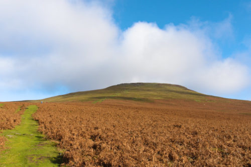
That walk is to be to the top of the hill in the photograph below. We don’t intend to go straight up the side as it’s just too steep so we’ll be going off to the the right and, eventually, back left to the top. It may be longer that way but the gradient is far more manageable.

Just off to the right of the car was the village sign which I though was nice enough to warrant a photograph.

You’ll remeber that earlier I said we had had a lot of rain and because of that we found ourselves walking along the lane which was awash with water.

We pressed on, however, and soon spotted something interesting in the form of some large fungi on the roadside verge which we have yet to try and identify. Perhaps it’s Fungus biggus. :-))

We started going uphill very shortly after leaving the car park and the views from the lane were starting to get impressive.

After walking about three quarters of a mile up the lane we found the start of the footpath and a short while after leaving the lane I stopped to take this photograph looking back along the footpath to the gate in the hedge.

About 15 minutes later I stopped to take another photograph looking back along the footpath because the moon was showing high above in the sky. You should be able to see it not far from the top of the picture.

There were, of course, the inevitable sheep about.

And we stopped soon after for this rather nice view of Chapel Lawn where we had started from. If you can spot the church then our car is parked immediately to its left. It now looks a long way down and we haven’t yet stopped going uphill.

Now this sign looks as though it has been there a very long time and it is pointing to the place we are going to – Caer Caradoc. It is a hill about 1300 feet high and it’s not just a hill but we’ll get to that later.

We spotted some more fungi along the way which isn’t surprising at this time of year and, again, we have yet to identify them.

Soon after, with much puffing and blowing, we reached our destination – the Caer Caradoc Hill Fort which turned out to be the most impressive hill fort we’ve seen so far. This photograph is taken at the eastern entrance and shows a well defined ditch with a bank on both sides.

The next picture shows Amanda going through this entrance and you may notice that although we have reached the fort we have not yet stopped going uphill. You can see that the bank beyond Amanda stops for the entrance opening and in the foreground is the drop into the ditch with the left-hand bank above it.

Just inside the fort we find yet another little fungus, about the size of a little fingernail, which Amanda is fairly sure is a Wax Cap.

We walked across the inside of the fort and I am relieved to say that we have reached the highest point at around 1300 feet. Whew!

We are now approaching the west entrance seen just in front of Amanda having moved further into the interior of the fort.

Oh no, not another one! Oh yes, I’m afraid so, yet another fungus which, so far, remains unidentified.

At the west entrance to the fort we find that the banks and ditches are much more well defined compared with the east entrance. These next two photographs show two of the three parallel banks and a ditch seen from the top of one of the banks plus another very well defined ditch.

The views from up here are phenomenal and, as the sun at this time of year is very low, you can see my shadow.

Amanda is at the bottom of one of the ditches and it gives a good idea of the scale of this place. The distance from the top of a bank to the bottom of the adjacent ditch is quite considerable. I can’t imagine how long it would have taken to build something like this especially with the tools which were available at the time.

There were beautiful views in every direction and on a warm, dry summer’s day one could look for hours. We are now on our way back to the eastern entrance and you should be able to see the gap in the outer bank and the view beyond.

We made our way back to the lane and on the way down towards Chapel Lawn we saw these Hawthorn trees with a multitude of red berries.

That was a really enjoyable walk, if a little strenuous but one has to ask why did these iron age people go to such lengths to fortify their living enclosures? Who were they protecting themselves from? We probably may never know.

Incidentally there is another Caer Caradoc in Shropshire, near Church Stretton, but I gather that the Hill Fort on that one is not as good. Don’t get the two confused.

If you’d like to see it on a map then look here https://is.gd/yfd5Ox

Until next time.

The Island in the Sky – Day 3

The Island in the Sky – Day 3

The weather forecast for today was cloudy but dry so I opened the curtains with a little trepidation, especially after yesterday, to find this.

If that’s the sort of cloudy they meant I’m all for it. Today we go home but not straight home. We plan to go to Lake Bala for a ride on the Lake Bala Railway and to do that we have to go over the Hellfire Pass. We first have to drive along the edge of the lake and passed these rather fine, large trees.

We did notice that there are a goodly number of these very tall, very straight trees in various places around the lake. Nice to see.

We reached the start of the backroad which leads us up to the Hellfire Pass and found that it was a typical Welsh backroad – one car’s width and rather bendy both laterally and vertically.

We were climbing along the side of a valley to our left which Amanda could get a good look at, I didn’t want to take my eyes off the road, and she said it looks really beautiful with a stream running along the bottom and, apparently, waterfalls every few yards.

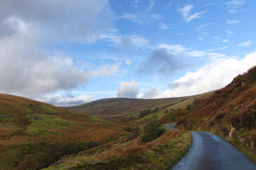
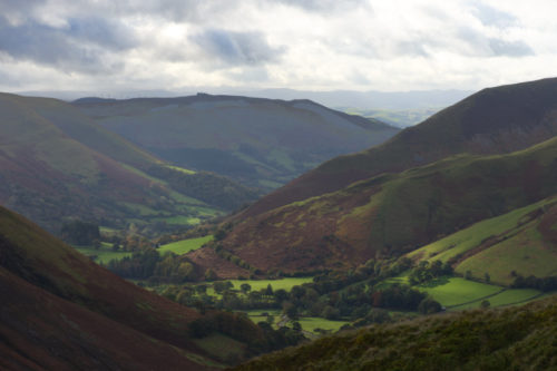
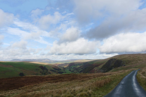
We managed that road easily enough especially as we didn’t meet any other vehicles (makes life easier) and we eventually turned right on to the Hellfire Pass road. Very soon after a short climb this came into view. There are very, very few places where one could stop off road so, to take this photograph, I just stopped where I was in the road. Again there were no other vehicles and that view is rather dramatic.

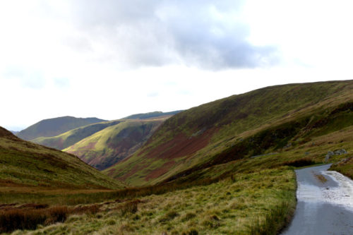
We went on a short way to the point at which we could see around that left-hand bend in the valley and I had to stop in the road again for this view.

What a view!

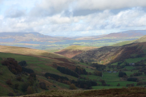
Soon after this we reached the top of the pass where there was a car park – the only one we encountered since we left Lake Vyrnwy so I had to take some more photographs of the views. Incidentally this is the second highest pass in Wales. I mentioned in a previous blog post that we had been over the highest pass in Wales – the Gospel Pass. I wonder where the third highest is?

Now we started down the other side which proved interesting. At times there was level ground either side of the road and at times there wasn’t. There was a very steep slope on the left and there was sometimes a crash barrier and sometimes there was nothing. This, remember, is on a road which is just wide enough to take one car. We did make it down safely and made our way to the Lake Bala Railway terminus.

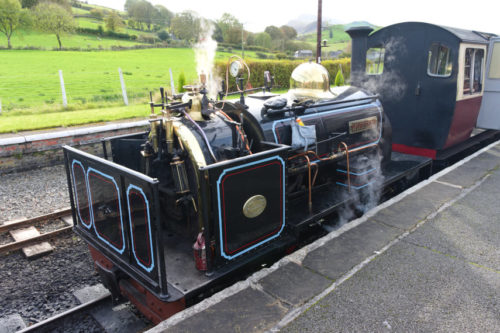
The train above, waiting in the station, was the one we caught but not before we had a good look around.

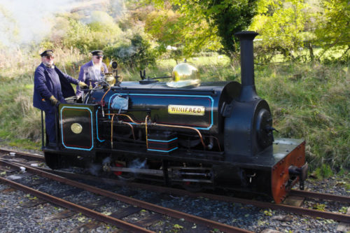
This is our rather cute little locomotive called ‘Winifred’. It apparently wasn’t the intended locomotive for today but had to be used because the other one developed a fault this morning.

You may notice that it does not have a cab, so no protection from the elements for the crew, and there isn’t exactly a lot of room on the footplate.

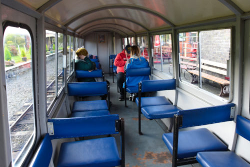
The seating in the carriage wasn’t exactly plush but comfortable enough for a short journey – 30 minutes each way.

This is ‘Maid Marion’ the locomotive that was going to be used today until she got the hump. At least the crew would have had some protection from the weather in that little cab.

This train rockets along at about 10 miles per hour so I was able to take this next photograph of Lake Bala on the move without being joggled about too much. Pretty ain’t it?

When we reached the far end of the line, and the lake, the locomotive had to be uncoupled and moved round the train to the other end which is what’s happening below.

It looks cosy on that small footplate and it’s a good job that it wasn’t raining hard – they don’t even have an umbrella.

I apologise for this next video. It stops prematurely because storage on the camera had filled up. Bother!

That was the end of our trip so it’s time to go home. That was a rather short trip but we didn’t have any idea what the area was like or what the hotel was like so it was a trial trip really. We did like the area and the hotel very much so we would certainly like to re-visit Lake Vyrnwy again, if we can. Until next time!

The Island in the Sky – Day 2

The Island in the Sky – Day 2

The next morning we couldn’t wait to draw the curtains and this was our view.

Oh! Were did all that fog come from? Whilst we were preparing to go down for breakfast we kept an eye on the view and it was then that we saw the island in the sky. What an astonishing view!

The view was changing over time and we realised that the fog was slowly disapating and we could see more of the island as it did so.

However breakfast awaits!

After stuffing ourselves at breakfast we prepared to go out. First we were off to the local village Llanwddyn (pronounced lanurthin) to look at the dam at this end of the lake and I must say it looks very impressive.

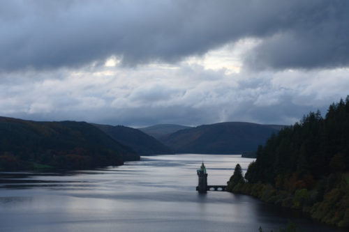
Looking from the dam across the lake we can see the straining tower where the water first passes through a fine metal mesh to filter or strain out material in the water. The tower stands in over 50ft deep water and is over 150ft high but much of the structure is hidden underwater and cannot be seen.

Some of the earlier fog is still hanging over the water which makes the scene that much more picturesque.

From the top of the dam part of the village shows in the early morning sun.

Then we set off on today’s adventure which means climbing up the hillside to look at the remains of a Knights Hospitaller Hospitium built in the 14th century.

The first part of the walk was through forest so we could see little but trees. When we finally left the forest we could still see a small portion of Lake Vyrnwy and some beautiful autumn colours.

We were now out in the open trying to navigate across the relatively featureless moorland.

If you look carefully at the image above you should be able to see a diagonal track starting near the left-hand edge of the horizon and sloping down into the picture. That track leads down to the Hospitium but we didn’t know that at this time.

We are much further along now and you can still see that diagonal track disappearing into the dip ahead. It turns out that what remains of the Hospitium is in among that Bracken on our left. It would be very difficult walking through that so, although it was disappointing, we gave it a miss.

We went on round to the left and down into that valley which is where that diagonal track was leading and in the valley is a small stone bridge over which that track passes. This medieval bridge is a crude but functional structure and each side is shown in the photographs below.

There was supposed to be a spring near the Hospitium and Amanda found it by wandering around until she could hear rushing water. It was rather buried in the undergrowth but the flow was very strong.

We made our way back to the car (much easier to say than to do) and as it was parked next to the lake we noticed that the change in the direction of the sunlight was now lighting up the arches in the top of the dam rather nicely.

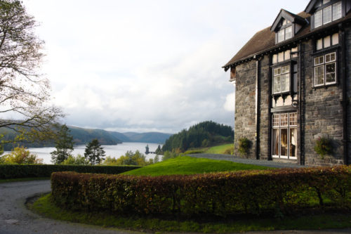
Driving back to the hotel I spotted this nice view of the hotel so stopped to take a photograph.

We went up to our room to prepare for dinner and later I took this photograph of that same view from the window again but different lighting.

I don’t think I could ever get bored with that view.

The Island in the Sky – Day 1

The Island in the Sky – Day 1

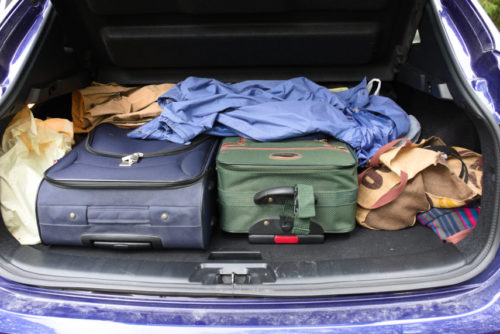
It all started with a boot full. That is to say a car boot not a boot on the foot. “But wait” I hear you cry “Surely you’re not going on another trip so soon after the other one?”

Well, from the look of that boot,with cases, I would say we are going on another trip and, this time, it’s Lake Vyrnwy about 50 miles north of us. The navigation system estimates the journey time to be about one and a half hours. Welsh roads don’t y’ know (one car wide).

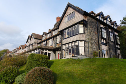
The journey proved to be fairly straightforward and we arrived at the hotel without any problems. The hotel is the large building on the hillside in the distance beyond the lake. Just in case you wondered it is all of that building.

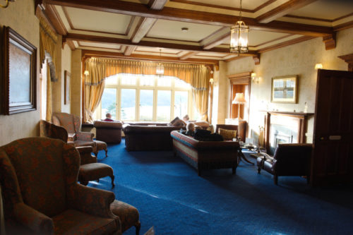
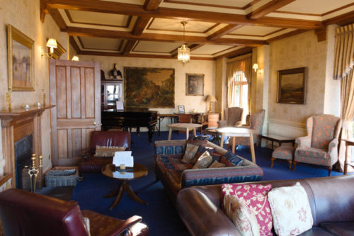
It is a nice hotel with two separate seating areas and we had a room overlooking the lake so you’re bound to get some views from the room later on.

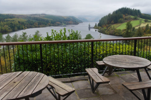
The sitting room above had a small balcony outside with some tables and chairs.

Our room isn’t going to be ready until later this afternoon, which we expected anyway, so we decided to drive up to the far end of the lake to have a look at a waterfall.

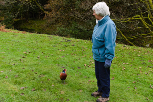
We parked the car and set off on our walk but hadn’t gone very far when a very friendly local decided he wanted to join us. There was no “Do you mind if I join you?” – he just joined us. Here is Amanda with our new friend.

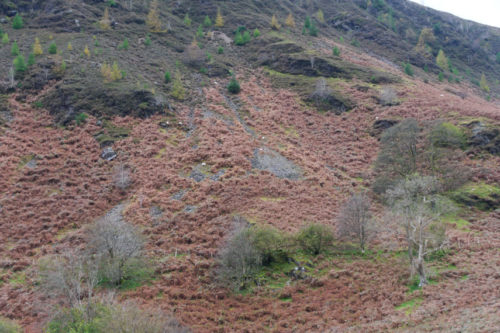
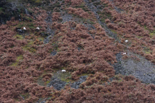
He eventually became tired of our company and we left him behind. A little further on we spotted these mountaineering sheep on quite a steep slope.


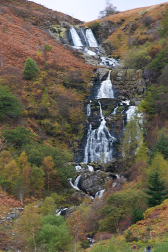
Continuing with our walk we came up to the brow of a hill and suddenly there it was.

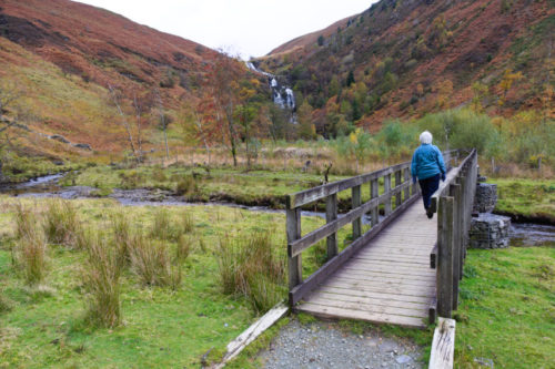
We were determined to get to the foot of the falls so we pressed on which involved crossing the river. Not so far to go now.

Then we could see the waterfall in all its glory.

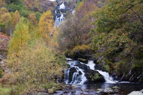
Finally we reached the foot of the falls. The view from here wasn’t quite as good as from further back but it was a lot noisier.

It was now late afternoon so we went back to our hotel. Our room was ready so we took our luggage up and had our first look out of the window. We couldn’t really complain about that could we?

So, dinner this evening, then it’s off to bed ready to wake to a new day.