High & Low – First Trip of 2021
This trip took place on 30th March 2021 and this Blog Post is obviously late and there will probably a few more posts that will also be late.
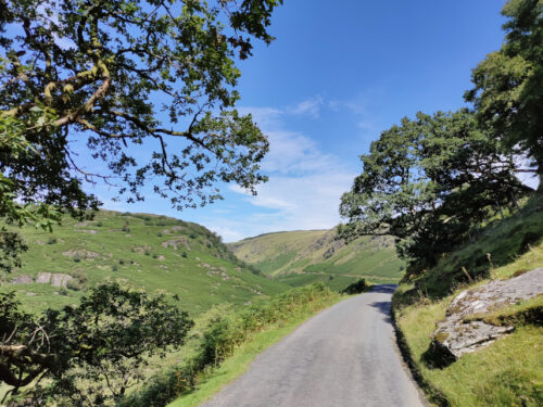
Welsh travelling rules have recently been relaxed so it was time for a day out. We weren’t going far, just 16 miles to the high ground near Newtown and although the road is a typical narrow, winding Welsh backroad it didn’t take us long. We parked in the little free car park at the start of the Kerry Ridgeway which runs for about 15 miles to Bishops Castle although we weren’t going anywhere near the distance.
This is where we stopped and shows the Knighton-Newtown road with the little car park to the right and the start of the Kerry Ridgeway path along the side of the road. The Kerry Ridgeway is one of the oldest paths in Wales probably from the time of the Bronze Age.

We started up the path and soon reached the bend where the path turns away from the road and continues uphill.

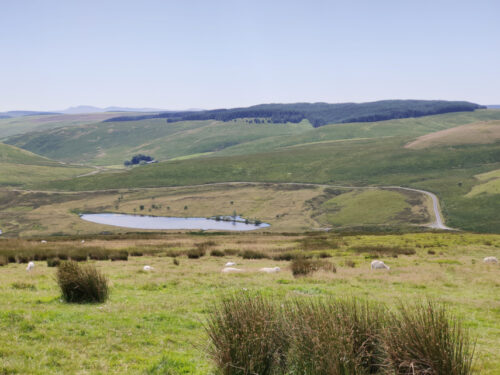
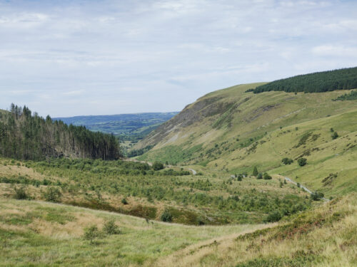
As we had started from high ground we had good views almost instantly although it was very hazy.

We walked further along the path looking for the Cross Dyke and soon found it. We couldn’t really miss it could we?

The Cross Dyke, just beyond that wooden post, crosses our path and the next picture shows the twin banks heading downhill towards Newtown and the following picture shows them running down to cross our path and join the top picture of the two below.


The Cross Dyke marks an ancient boundary long since forgotten but, rather like Offa’s Dyke, they took a lot of trouble and effort to build it.
Nearby are the Two Tumps which are Bronze Age burial mounds. There is one on the left, just poking above the far horizon, and one to the right of that, and a little further back, with the far horizon just showing over the top.

We headed further up the path as far as this viewing point which has information, hill names etc., to identify what you can see around you.

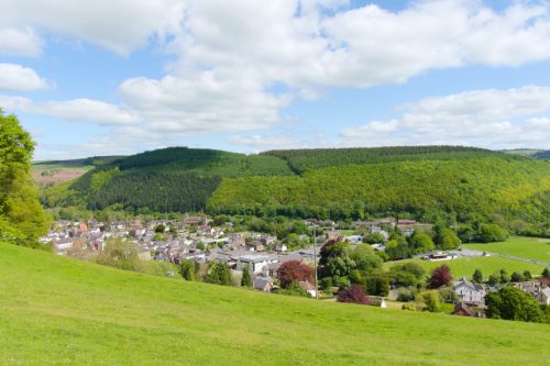
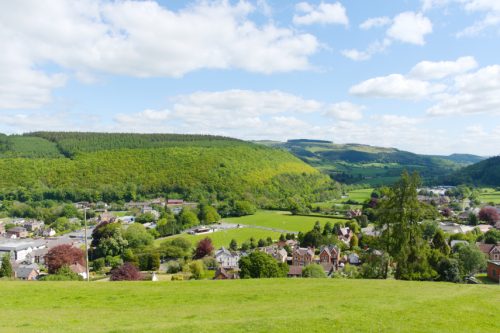
It was now time to leave the Kerry Ridgeway, as we had more to do, so we headed back down the path admiring the views on the way.

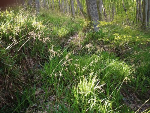
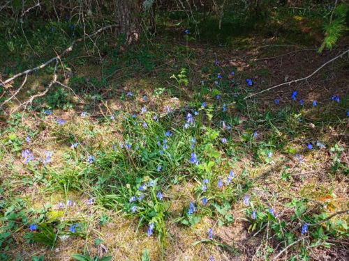
Along the path I spotted a small area of tiny flowers and there is also a daisy to give a scale. Difficult to identify precisely because there are so many different varieties but it probably is a member of the Whitlow-grass group.

We soon arrived back at the car having been serenaded by Skylarks along the way. We drove towards Knighton for no more than a half-mile and parked in a large layby next to a landscape feature know as ‘The Ring’.
The Ring is a geographical feature caused by the River Teme eroding the bank and causing the higher ground to collapse and then the collapsed soil to be washed away. This picture was taken from road level on a previous occasion and the river is partly in flood producing this waterfall.

On this trip it was relatively dry with little water flowing.
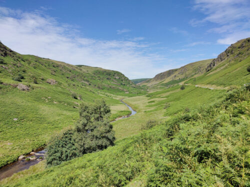
This is the Ring itself. It’s called ‘The Ring’ because it is shaped like a large semi-circular amphitheatre.


We decided that we needed to climb down to look more closely at the waterfall which was at the bottom. It is not safe to climb down just anywhere because the sides are generally far too steep. So we had to visually plot a route down and then set off. The route we followed proved to be quite easy and it didn’t take us long to reach the river.

There was just a trickle of water over the waterfall, which is a pity, so we shall, perhaps, have to try again sometime when it is a bit wetter.

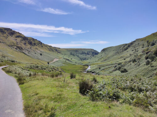
This is the River Teme, the same River Teme that flows through Knighton, heading off from the waterfall down the valley towards Knighton and we now hope to do the same. All we have to do is get back up to the road. We did that without incident, although slower than coming down.
The end of our short, but interesting, trip.


