Browsed by
Category: Shropshire

Ludlow and Leintwardine

Ludlow and Leintwardine

We went to Ludlow recently to do some shopping. We had visited Ludlow twice before we moved to Wales and, as we were staying at a hotel both times, we had free parking provided by the hotel. When we were walking around the town we noted that there was some free roadside parking although limited to around 2 hours at a time. This time we noted that if there was a space big enough to park a car then Ludlow will make you pay for it.

We didn't have to pay for parking as the supermarket had their own parking and so did the other shop we went to. Did you know that my middle name is 'Scrooge'? cheeky

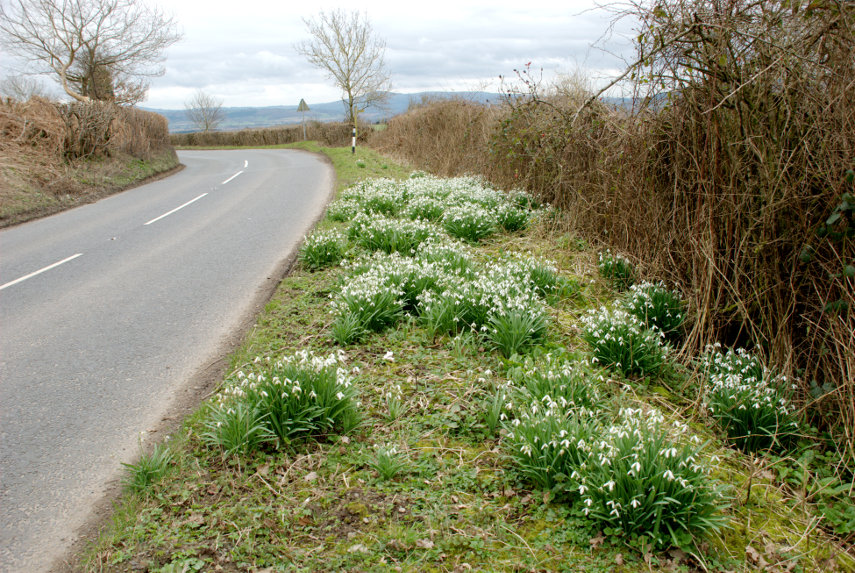
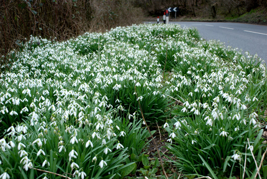
On ther way to Ludlow we noticed many places where there were Snowdrops flowering on the road verges so on the way back, near Leintwardine, we stopped to take photographs.

The hill in the centre of the horizon partly masked by the small tree is Titterstone Clee Hill which we climbed when we first visited Ludlow. Amanda tells me that these Snowdrops will have gone by the end of the month.

A little further towards home we stopped in Leintwardine to photograph the bridge.

It's a lovely old bridge so I took a view of each side. I shall take some more photographs when the sun is shining.

Incidentally Leintwardine is pronounced Lent-war-deen.

To England and back

To England and back

It's now early March and we haven't done any 'walking' this year yet. That doesn't include any usual walking like going to the shops and the walking about one does during normal activites. It was sunny this morning but it is forecast to rain heavily this afternoon so the time for a walk is now!

This is mainly for exercise and follows a 2 mile route we have already used for exercise and takes about 30 – 40 minutes. We leave home, head for the railway station where we cross both the river and the Welsh/English border, walk along below Panpunton Hill, turn left when we reach the Offa'sDyke path, cross the railway and the river arriving at this spot.

You should be able to see three things. The town in the distance, the rather mucky foreground and the cloud building up already. Continuing onward we soon arrive at a point just below the Offa's Dyke Centre.

The English/Welsh border is halfway across the footbridge and is shown by a yellow stripe with a yellow footprint either side (which you can see more easily in the larger picture)  for those people who may want to stand with one foot in England and one foot in Wales. I think that about half this walk is in England with the other half being in Wales. An international walk. cheeky

Back into Wales we go up from river level to the Offa's Dyke Centre, down into the town centre and then off to home. I think that's enough walking for this year so see you next year. devil

Time to catch a tram

Time to catch a tram

We are just back from a short shopping trip.

We drove the short distance to Kington in Shropshire where Amanda wanted to visit a small garden centre as did I. As they were 'Hozelock, agents I was hoping that they would have a hose reel on a small trolley (which can be trundled around the garden with little effort), where the hose is completely enclosed, and they did. Whoopee. We need a hose! Amanda bought one plant and a few odds and ends.

We then drove a little further to Eardisley, one of the villages on the Black & White Trail, not to look at the village but to visit a bookshop/pub. It is an odd combination. They provide food, as well as books, and have many good reviews so we were hoping to have lunch there and Amanda wanted to look round their books. Typically they are closed until the end of the month for redecoration. Bummer!

So, where to get lunch now? sad

Opposite, on the other side of the road was another pub, The Tram Inn, so we decided to try that. Apparently in 1816 there was a horse drawn tramway constructed running from Hay-on-Wye to Eardisley bringing coal from Brecon. It was for industrial use only and not for moving people. The 17th century inn was already in existence but was renamed to celebrate the arrival of the tramway.

Our lunch turned out to be excellent and beautifully presented such that we would be more than happy to go there again.

No photographs this time. The weather was dry but the cloud was rather low such that when we climbed onto higher ground we went into the cloud. We will probably be back in better weather. cool


Today’s special Offa

Today’s special Offa

Yes it's another mention of Offa's Dyke.

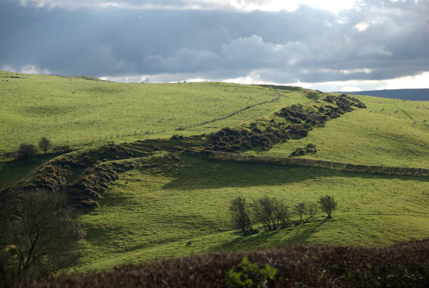
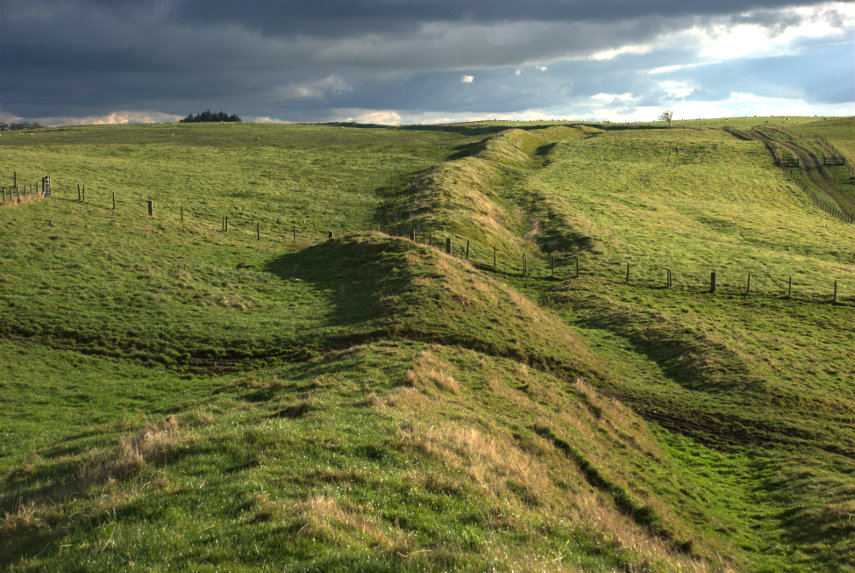
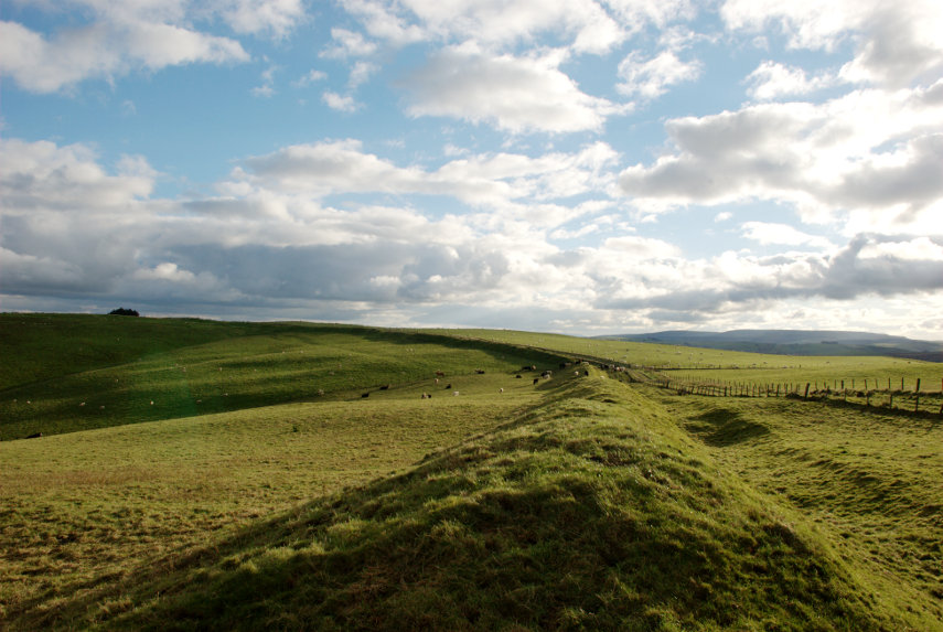
About 4 miles north of Knighton, in a straight line, is Llanfair Hill in Shropshire and Offa's Dyke runs across its western flank. The particular feature of this section is that it's on high ground, grazed by sheep, and there are therefore no trees nearby to mask it. It is also November and so the sun is low in the sky which makes very dramatic lighting.

I took these photographs this afternoon at around 3.00 PM so I'm going to bore you with them now. You have been warned.

Just to remind you – this bank and ditch was made on the instructions of Offa, King of Mercia in the 8th century. I can remember, in my young days, seeing all the men digging. wink

Medieval Mischief

Medieval Mischief

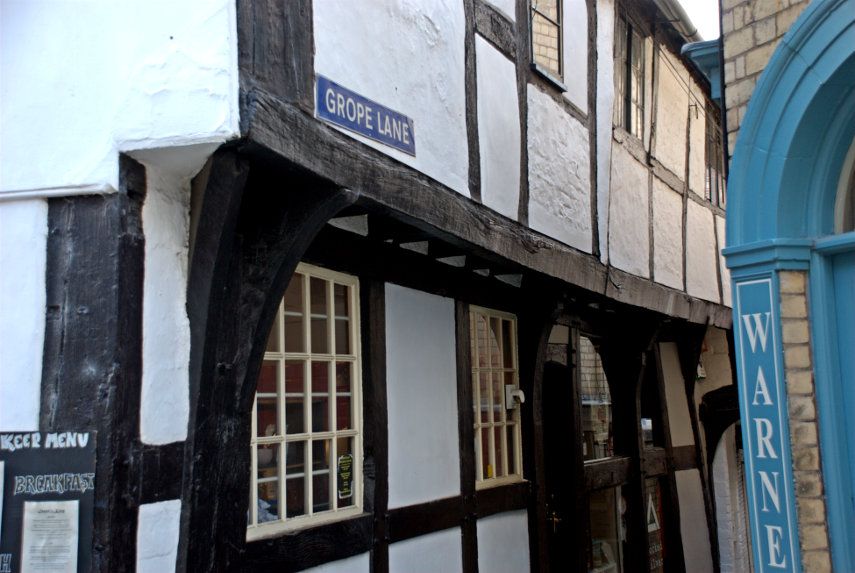
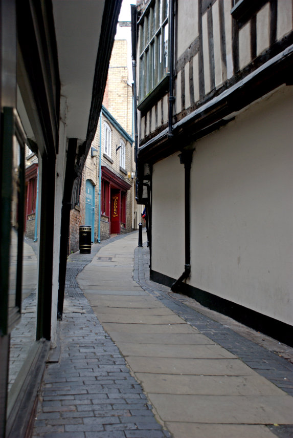
First of all let's set the tone of this trip before we do anything else.

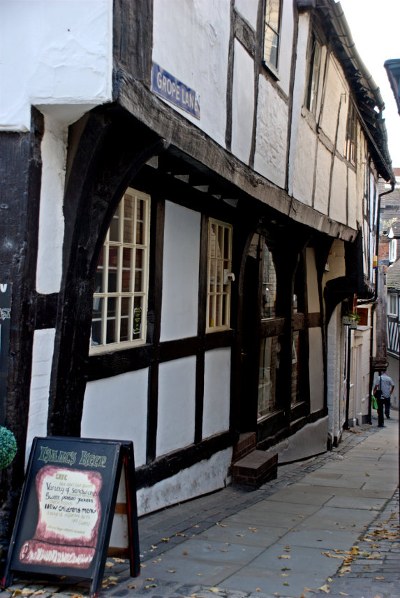
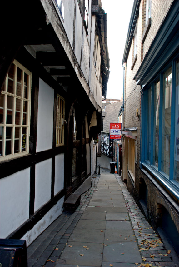
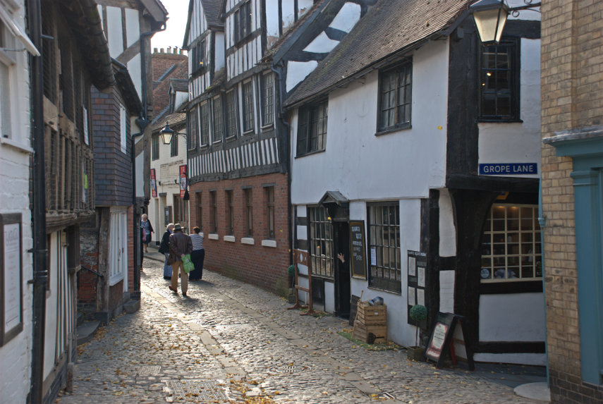
This little alley dates back to medieval times so, knowing that, if you think that you know why it was given that name then you are probably right. They were fairly blunt about names at that time so we will leave it there. 'Nuff said.

Here are some more pictures of that alley:


So where is it and what were we doing there?

It is Shrewsbury and we went shopping. Not only that but as we have a railway station in Knighton we used the railway to get there. The sneaky part is that travelling cost us nothing and I'll explain why. In Britain, when one is over 60, one can apply to the local council for a concessionary travel pass which permits travelling on buses free. In Wales that same pass can apply to some railway routes and one of those is the Heart of Wales Line. Now guess where that line runs through. Yes – Knighton.

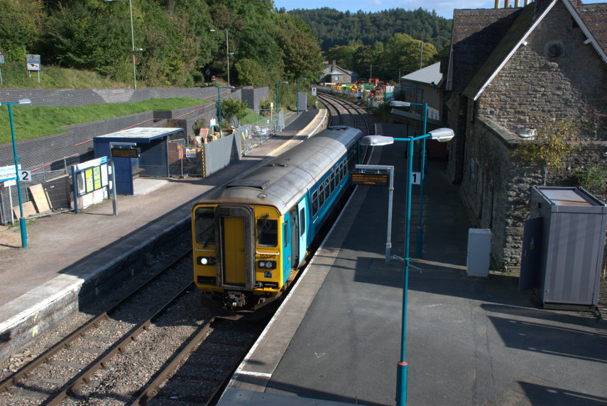
The Heart of Wales line, which runs the 120 miles between Swansea and Shrewsbury, could not be described as 'Mainline' and is, in fact, very very rural. This is our train waiting in our station and, as you can see, couldn't be any shorter. It has just one carriage and no locomotive because it is a diesel railcar with engines under the floor.

It may be small but it provides some very nice landscape views.

So back to Shrewsbury.

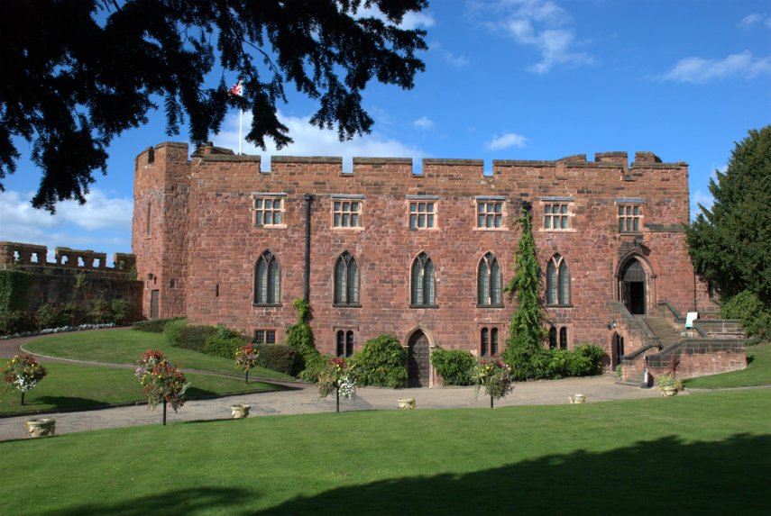
We were wandering around the town looking at the shops, of which there was a great variety, with an occasional foray into places of interest which was when we found ourselves in the grounds of Shrewsbury Castle.

The original castle was built by the Normans but, apart from the gateway, very little of that building survives. Much of it was demolished during the rebuilding and strengthening of the castle around 1300 when an outer bailey was also added. It was never used as a fortress after that and over the centuries fell into disrepair until the civil war when further alterations were made.

We didn't actually buy very much in Shrewsbury although I did get a new pair of shoes. We plan to go back on further visits.
 

A devil of a walk

A devil of a walk

When Amanda was a child she used to read books by Malcolm Saville some of who's stories were situated around the Stiperstones in Shropshire and she had always wanted to vist them. The Stiperstones are on a ridge a little west of the Long Mynd near Church Stretton and is about a 45 minute drive from us so, of course, we had to go.

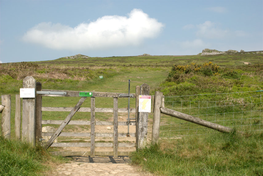
There is a car park at the bottom of the eastern flank of the Stiperstones ridge and that is where we parked. We found the start of the footpath up to the ridge easily enough and could see some of the rocky outcrops on the summit of the ridge from the car park.

The slope wasn't too bad but the distance is longer than it appears in the photograph. This area is designated as an NNR (National Nature Reserve) and has lots of interesting wildlife including lizards and adders (venomous snakes) to mention but a few.

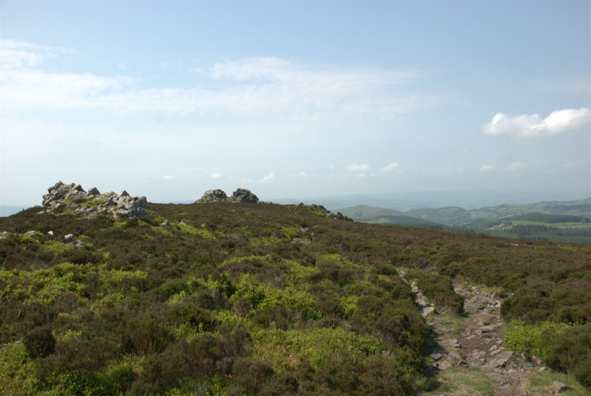
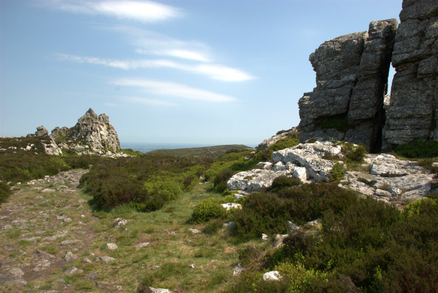
We reached the ridge after a not too strenuous walk to be greeted by this view.

It was unfortunate that we picked a hazy day which meant that, although it was a lovely day, the distant views were partly obscured. The views still looked amazing though and we started along the ridge which meant that, from this point, we were still climbing.

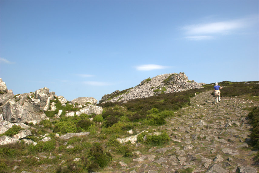
You'll never guess who that is ahead.

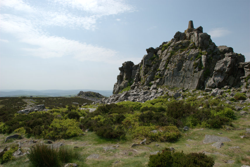
This ridge was formed about 480 million years ago from quartzite and during the last ice age these rocky outcrops stood above the glaciers and were subject to constant freezing and thawing which shattered the quartzite into a mass of jumbled rock as we were to discover.

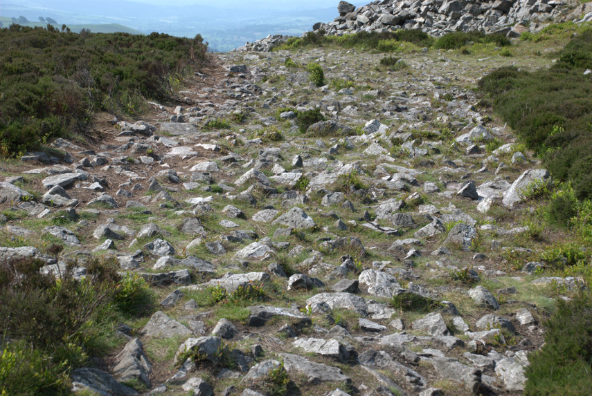
That jumbled rock was eventually covered in vegetation but when people walk over it the vegetation wears away and, if it's popular (which it is), the soil is worn away too leaving the exposed rock. This is what the path looks like:

Let me tell you that is very awkward and uncomfortable to walk on. It is very unwise not to look at the ground whilst walking and, if you want to look at the view, then stop walking first.

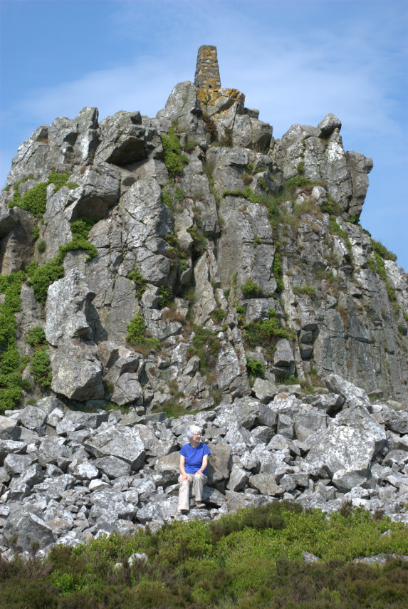
A number of the various rock outcrops along the ridge have names and this was the second one we reached. This is called Manstone Rock and has an Ordnance Survey trigonomentry point on it which you should be able to see. Amanda 'collects' these so that was one to add to the list.


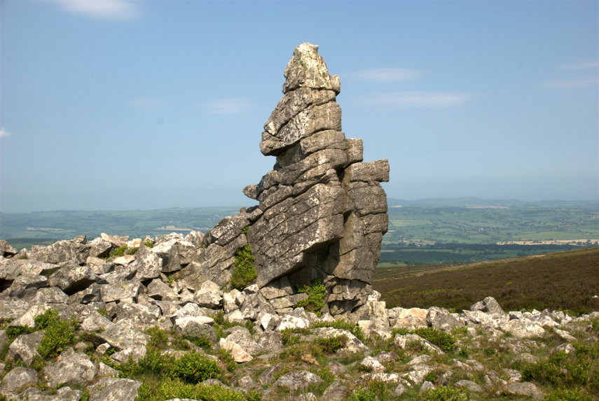
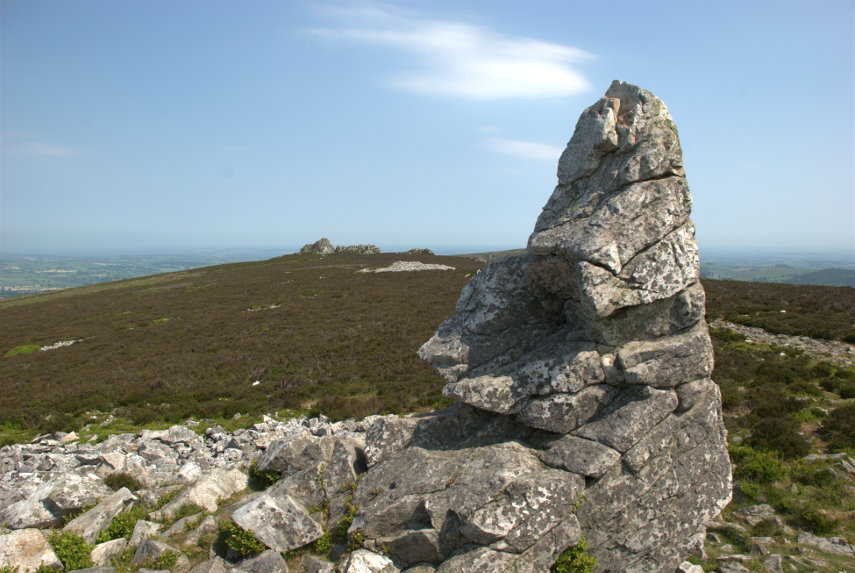
At the far end of Manstone Rock was this interesting rock pillar formation:


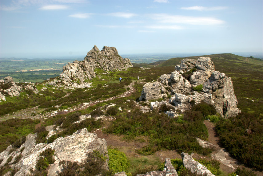
So on we went towards that distant outcrop in the picture above, the Devil's Chair, which is the one on the right below.

Luckily (or otherwise) there was a little devil in situ:

I hope it doesn't put you off going there. At this point we must be near, or at, the maximum height of 1759 feet as you may be able to see from the view in this next picture.

The two figures on the path between the rock outcrops give an idea of scale and they were two of the few other people we saw on this walk. We did hear, and see, some skylarks singing in the sky above our heads and we also saw two lizards although they quickly scuttled off into the heather but, sadly, no adders.

We turned around and made our way back along that dreadful path although once we reached the downward turn the surface was much better and we soon arrived back at the car park.

We drove down to The Bog, as you do, which is a visitor centre for the area and we had a light lunch before moving on to our next, and final, destination. It was a short drive on normal roads then a short, slow, very bumpy drive up a track to a small parking area and this is what we came to see:

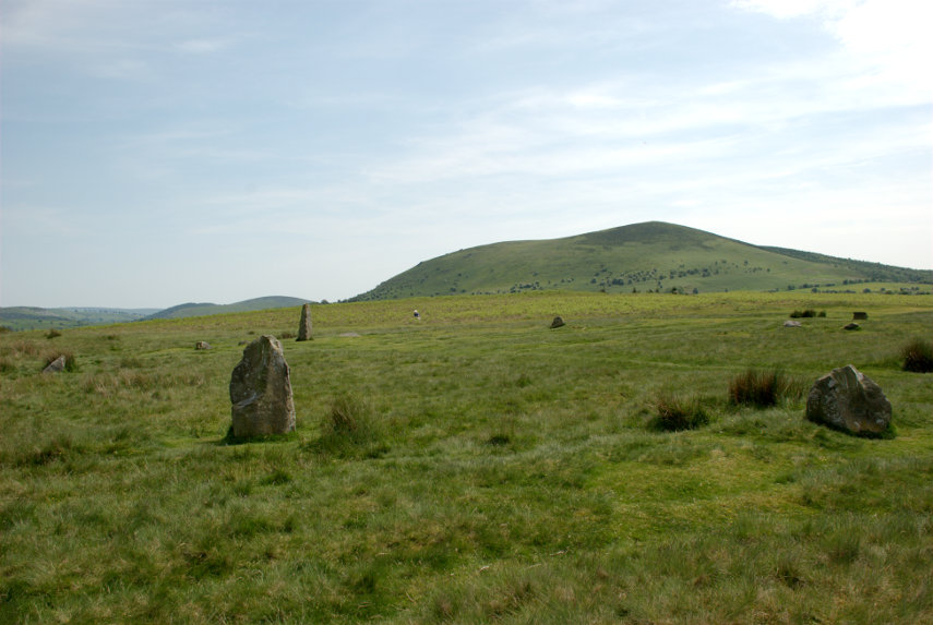
It is Mitchell's Fold Stone Circle. Not quite as spectacular as Stonehenge, smilies, but it is possible to walk among, and touch, the stones. They appear to vary in size because a number of them have fallen and have been left in that position.

This view shows Corndon Hill in the background and also a little Amanda sitting on the grass on the far side.

Have you ever had that feeling that you're being watched?

This is a Bronze Age stone circle in Shropshire situated at a height of 1083 feet and is a Scheduled Ancient Monument in the guardianship of English Heritage. As with most sites of this type, its true history is unknown but the doleritic stones came from nearby Stapeley Hill.

In the beginning there may have been some thirty stone pillars and the survivors that still stand range in height from 10 inches to 6 feet 3 inches and stand in an ellipse 89 feet NW-SE by 82 feet.

That was our day! Two quite interesting (we thought) locations and just a shortish drive home.

Getting bored with all these Welsh/English borders views yet? smilies


Is there Much Wenlock?

Is there Much Wenlock?

Is there Much Wenlock? There is actually Little Wenlock!

Confused? I'll explain. Little Wenlock is a village, a little south of the town of Wellington in Shropshire, and Much Wenlock is a small market town also in Shropshire. The 'Much' part indicates that it is larger than Little Wenlock. We stayed in Much Wenlock for three nights at the Talbot Inn in High Street. High Street is only one vehicle wide which may give you an idea of the size of the place.

It is a nice little inn with a courtyard accessed through the arch.


The accommodation was basic but comfortable with the bedroom and bathroom ensuite and the food was good.

Immediately opposite the Talbot Inn was Raynald's Mansion dating from the early 1400s. A very impressive building but privately owned and not open to the public.

Near the end of High Street is The George pub and next to that is an alley.

An alley in the Shropshire dialect is a 'shut'. The name, apparently, comes from old english.

Opposite the far end of High Street in Wilmore Street is the 16th century Guildhall another impressive timber-framed building with an interesting interior. The Guildhall is open to the public between April and October on Friday, Saturday, Sunday and Monday.


A little further along Wilmore Street is the church built in 1150 by the Cluniac monks of Wenlock Priory.

A little further along the same road we found this rather interesting old police station. Victorian I imagine.

The following day we drove to Church Stretton and into Carding Mill Valley owned by the National Trust. This valley forms part of the Long Mynd which is a heath and moorland plateau and is, itself, part of the Shropshire Hills. The Long Mynd geology is mostly Pre-Cambrian and the high ground is designated as an Area of Outstanding Natural Beauty.

I realised at this point that I had left my camera back at the inn. Bother! (or something like that). So for this walk I had to use my smartphone camera.

We set off walking up the valley alongside the small stream.


You may have noticed that there is plenty of heather about. We reached the Lightspout Waterfall which may be  only 12 feet high but attractive nevertheless.

I'm sorry about the strange lady but she just wouldn't get out of the way. At this point we decided that we'd had enough and went back the same way to the car. Driving back to Much Wenlock we stopped en-route to try and get a view from Wenlock Edge.

It was tricky finding a place where trees were not completely obscuring the view and that was the best that we could do.

The following day we went to Ludlow where we've been twice before and there are plenty of pictures of that town already on the web site so I didn't take any more especially as it was dull and cloudy.

From Ludlow we went to Bishops Castle; a little town near the Welsh border and this time I remembered to take my camera.


It was a nice little town but we felt that it had an odd atmosphere. We later decided it was because there were so few people around. I don't know why that would have been as there were plenty of shops and it was only late afternoon. Perhaps they had wind of our visit.

The following, and last, day we went to Shrewsbury on the bus. This is Shropshire's county town and I had been here once before about 60 years ago but could remember nothing about it and Amanda had not been here before.

We both liked Shrewsbury and it had plenty of interesting buildings, many of them timber-framed, and many interesting streets. We got off the bus in the Square right near the Old Market Hall (Elizabethan); the stone building on the left in the next photograph.

This next view is a short way from the bus stop.

Shrewsbury has plenty of narrow alleyways or 'shuts' as they are known in the local dialect although in the last of these three pictures the alley is labelled 'Compasses Passage'. I suppose that alley may have been built or renamed at a date when the term 'shut' had fallen into disuse.


Those steps in the corner of the next picture are Bear Steps named supposedly after a pub called The Bear which no longer exists. These steps take you through the 15th century building, part of which is visible to the left of the steps, and into St Alkmund's Place shown in the second picture below.


The next photograph is Henry Tudor House, in Barracks Passage, built in the early 15th century.

We walked to Shrewsbury Castle and had a brief look from the outside. The original castle was Norman but very little of that remains and the current building, in red sandstone, looks much more modern so we didn't go in.

However we did see this lovely timber-framed building by the castle entrance but I haven't been able to find out anything about it.

Shrewsbury was our last day so after returning to Much Wenlock for the night we travelled back home, without incident, the next day.