Browsed by
Tag: Rivers

I went 220 miles to Devon for 30 minutes – Sunday.

I went 220 miles to Devon for 30 minutes – Sunday.

I was on my own because Amanda was unable to come with me this timesmilies but she drove me to our local station where I was to catch the train to London but we were greeted with the news that the train was cancelled. Brilliant!  smilies  smilies

The next train was in half an hour which meant there would be little margin between getting to London Waterloo and catching the train to Axminster. Missing that train would mean an hour's wait for the next one.

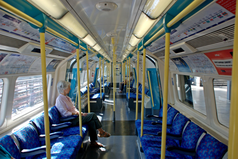
I did get the next train and changed at Stratford onto the Jubilee line bound for Waterloo. When we were about halfway to Waterloo I decided I'd get to Waterloo at the time my train was due to leave and so probably wouldn't get it. As we travelled nearer to Waterloo the time/distance between stations seemed to be getting shorter. Was there hope yet? smilies

We finally arrived at Waterloo about ten minutes before my train left so I had a chance and finally reached the entrance to the platform with five minutes to spare. I did, after all, catch my intended train at 11:15 AM. smilies

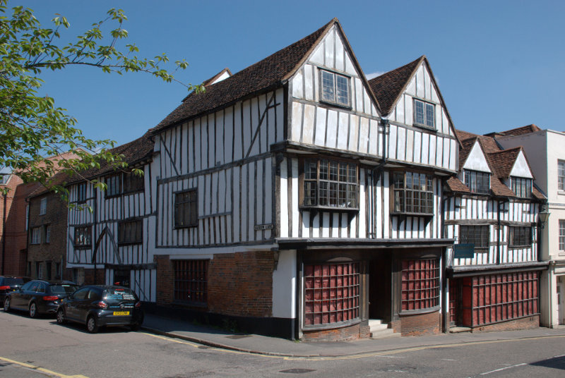
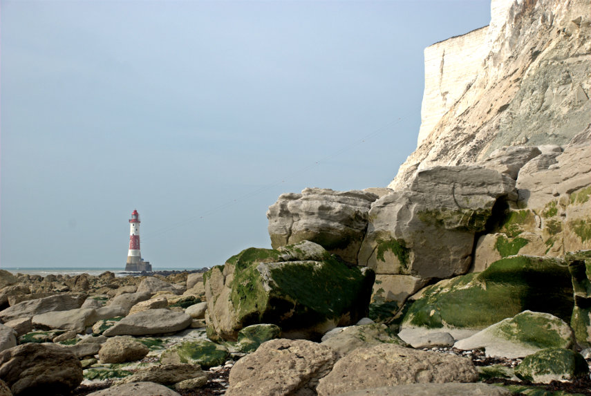
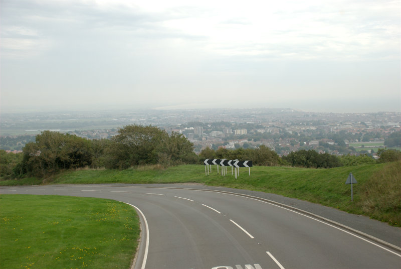
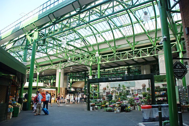
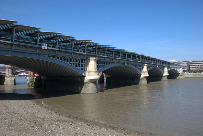
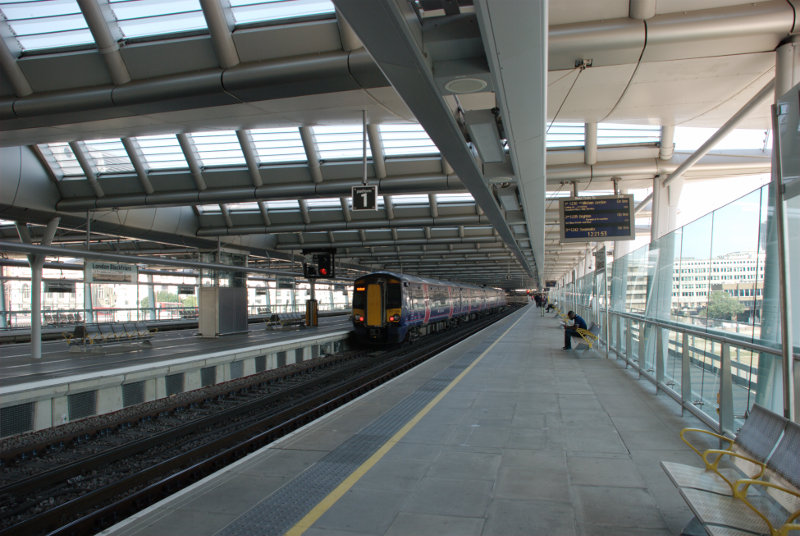
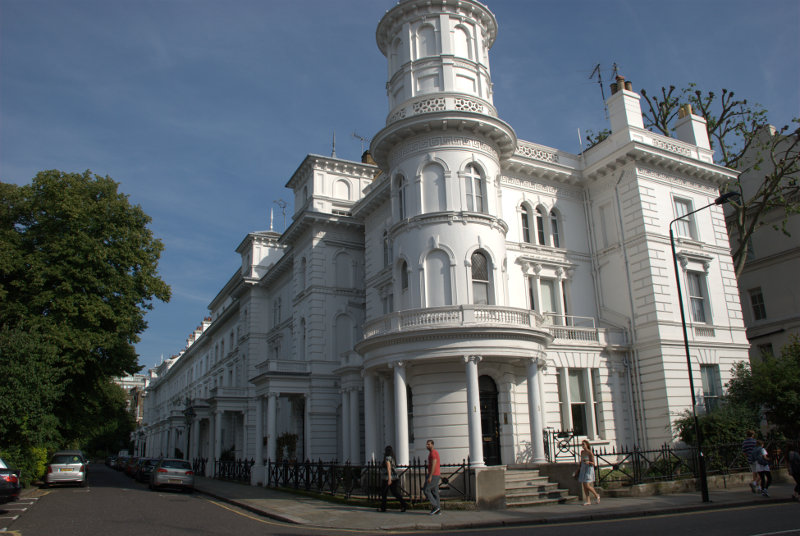
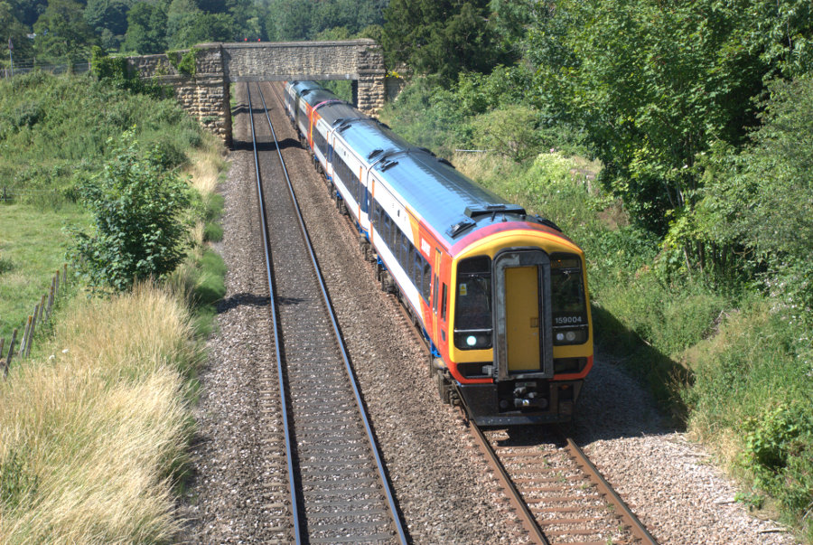
This train, on the Waterloo-Axminster line, is the sort of train I travelled on:

After an uneventful journey of 2 hours and 45 minutes we arrived at Axminster in Devon. My bus was waiting outside the station and we set off south for the coast shortly after.

What I really wanted to do was to go to Lyme Regis in Dorset which is where I'm staying for the next few days. The bus soon reached the Devon/ Dorset border and I'd left Devon about 30 minutes after I'd reached it.

It was an interesting 30 minute ride on roads which were often only just wide enough for the bus and, at last, we were on the downhill stretch into Lyme Regis where I got off. After a very short walk I arrived at the Royal Lion Hotel which was to be my base for the next three nights.

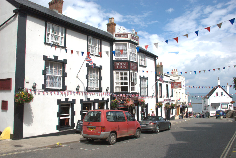
Very friendly and efficient staff here and I was soon shown to my room. Note that the sea is just at the bottom of High Street.

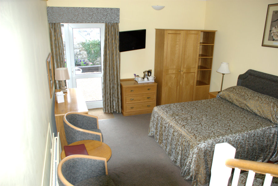
It was a triple room with the single bed that I used just out of sight on the right (You can actually just see the corner). The entrance to the room was at a higher level hence the few steps down with part of the banister rail showing. The bathroom was also at the higher level. There was also a small outside terrace accessed using the door at the far end where a small part of the sea was visible.

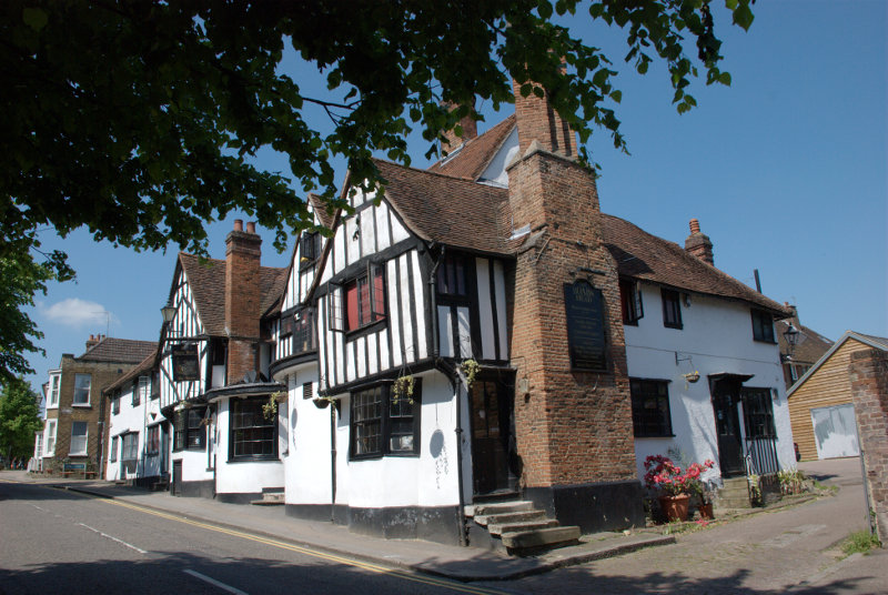
A nice room in, what turned out to be, a nice hotel. It was, at one time, a coaching inn and dates from around 1610.

I telephoned Amanda to let her know that I had arrived safely and then made myself a cup of coffee. Having settled in I wound up my legs and set off to explore. I have a feeling that I should have had a larger spring fitted.

At the bottom of High Street is the Square and you can see that the time is now about 3:15 PM.

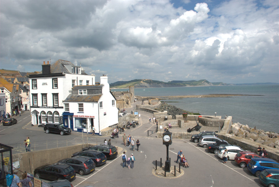
I headed west along Marine Parade which was lined with chip shops and ice cream shops together with an amusement arcade at the far end. This proved to be the tackiest part of the town but very popular.

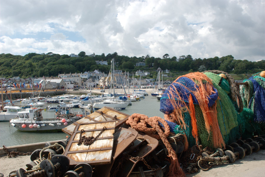
I reached the harbour and just HAD to walk out on one of the harbour walls known as the Cobb.

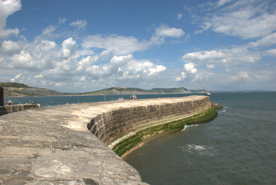
This harbour wall features in Jane Austen's novel 'Persuasion', and in 'The French Lieutenant's Woman', a novel by British writer John Fowles, as well as the 1981 film of the same name, which was partly filmed in Lyme Regis.

Do you think I'd make a film star?

Lyme Regis is mentioned in the Domesday Book of 1086 and in the 13th century developed as a major port. The first record of the Cobb is in 1328 and it has been destroyed or severely damaged by storms several times. It was swept away in 1377 when 50 boats and 80 houses were also destroyed.

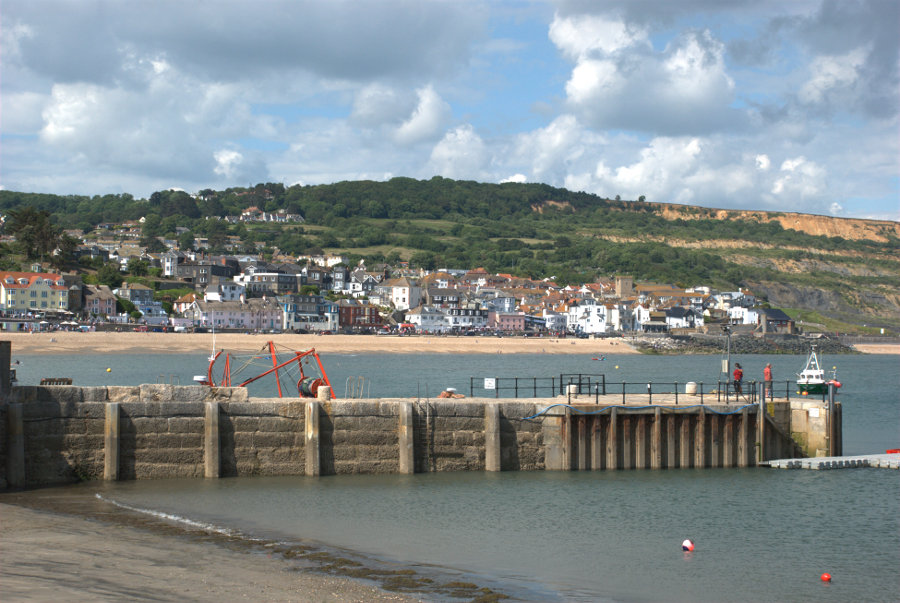
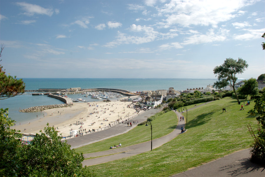
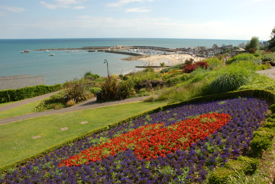
The next (top) picture is Lyme Regis seen from the outer end of the Cobb and the second picture looking across the harbour shows the western most part of Lyme Regis, like a small detached village, which is also known as the Cobb. Confusing ain't it?


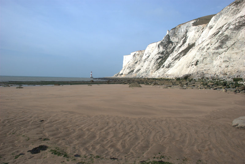
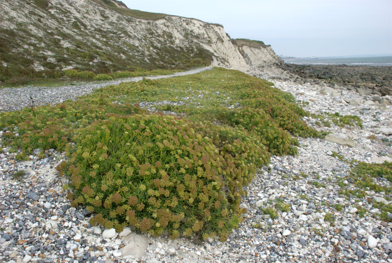
A 15 minute walk further west along the beach with a low tide and I reached some exposed slabs of rock which were obviously very fossiliferous.


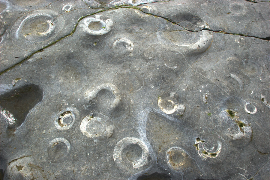
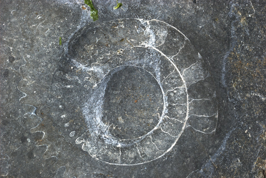
Each of those circular shapes are Ammonites which are about 200 million years old (at last I've found something which is older than me). In the second photograph erosion has effectively sectioned an ammonite showing the internal septa.

I walked back along the beach and, at this juncture, I have to admit that sandals were not the best choice of footwear (sand and gravel gets between feet and sandals) but I didn't want to wear boots for the whole time so I was stuck with them.

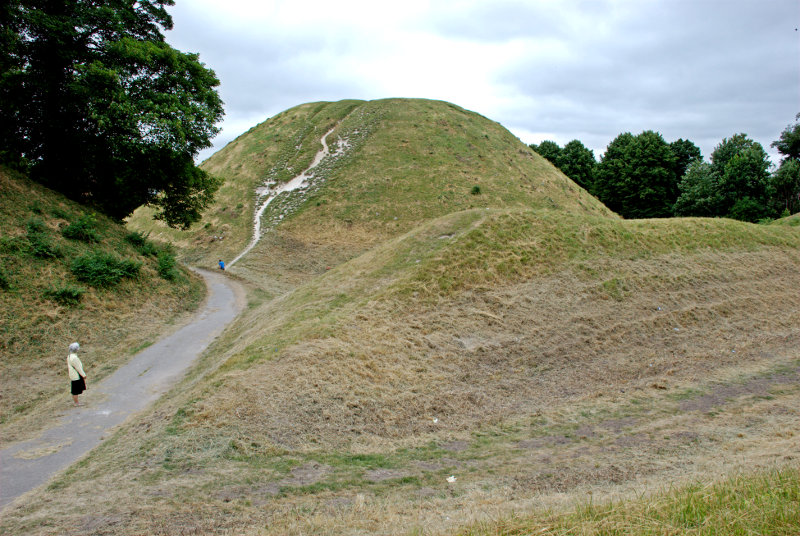
From the Cobb village I went up into Lister Gardens which is mostly grass and trees with a good view of the harbour.

A little further towards the town it changes to Langmoor Gardens which features a number of flowering plants and is, consequently, more colourful.

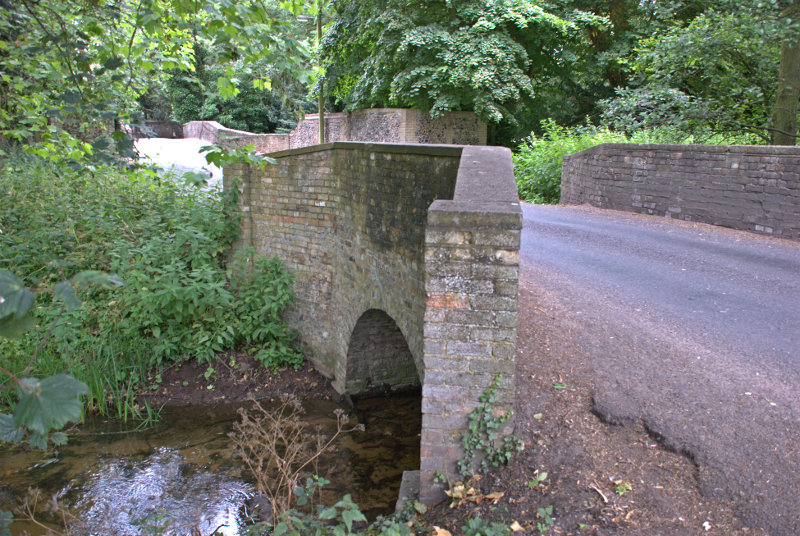
Back in town I found the Riverside Walk.

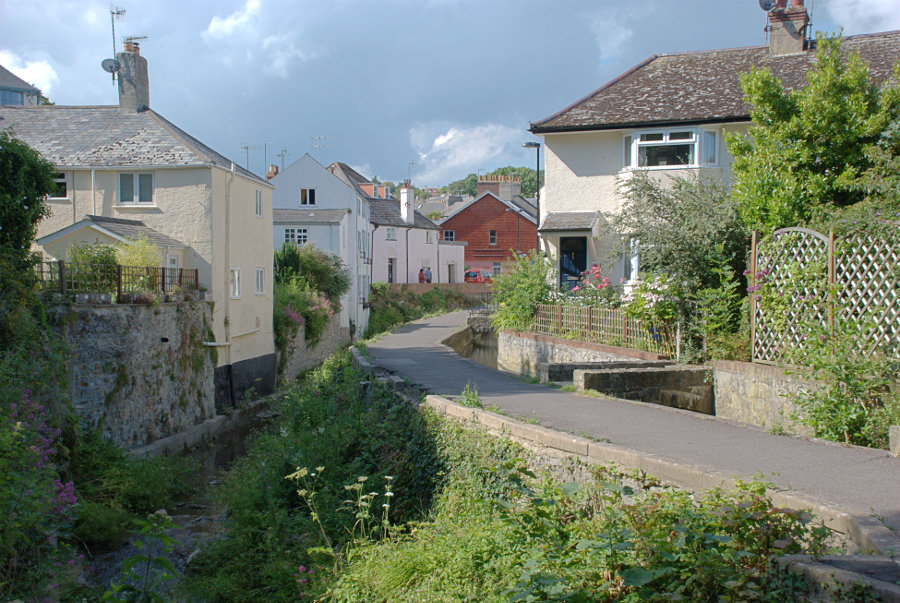
The River Lym, down in the gully on the left, is really quite small except when it's in flood and is only 3 miles long from source to sea although there were as many as thirteen mills using the energy provided by this short river before the steam engine was invented.

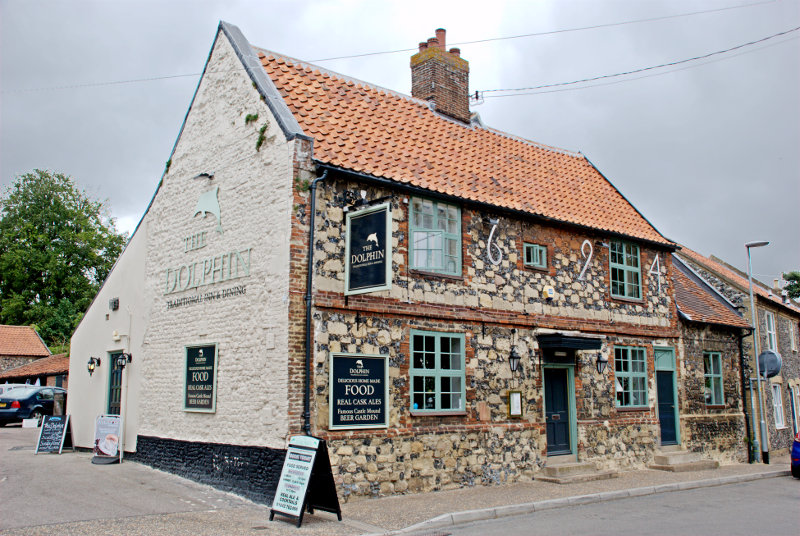
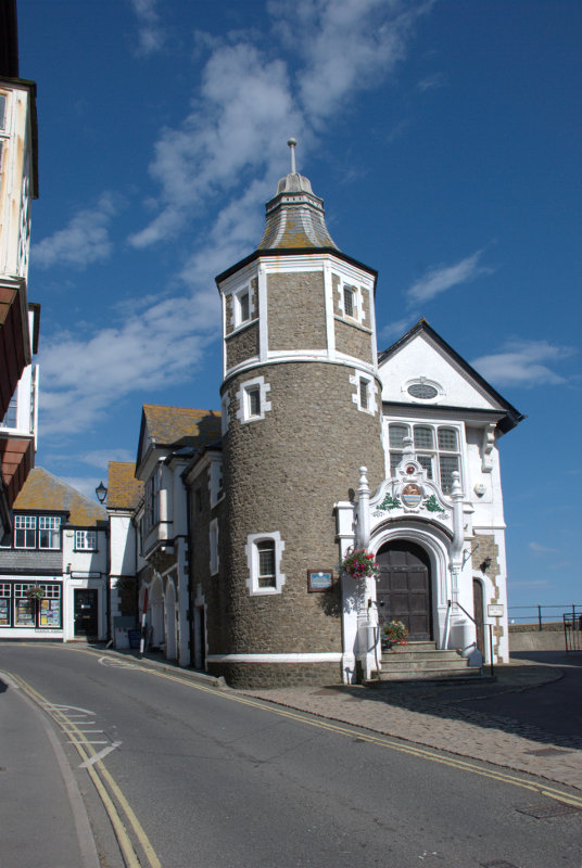
There are plenty of narrow lanes and streets here and I eventually emerged on one opposite the Guildhall.

Back to the hotel in plenty of time for dinner.

(Tomorrow, Monday: I take a ride, go up in the world and suffer abject failure)


Time for a Change, some Oxo and a secret!

Time for a Change, some Oxo and a secret!

The change in question is New Change and if you want to be precise – 1 New Change. For those of you that don't know, New Change is a short street on the eastern edge of St. Paul's Churchyard in London and there is a large shopping centre there that takes up the whole street. As it is the only building in the street it's number must be 1 mustn't it?

A sunny day saw us arrive at Liverpool Street Station from where we walked the short distance to Wormwood Street to catch the number 100 bus. That was a surprise because it turned out to be a single deck bus which is unusual in London. We alighted near St. Paul's Underground Station and walked the short distance to 1 New Change.

We have been here once before (A Later Date), late in the day, when the weather wasn't so good and the sun was in the wrong place. This time the weather was good and the sun was in the right place.

A lot of people don't realise that 1 New Change has a roof terrace which is freely available to the public. There is a restaurant up there too but you aren't obliged to use it. There are lifts up to the terrace and they are outside the building and the walls are made of glass. Why would the lift walls be made of glass? Because you get a nice view of St. Paul's Cathedral on the way up and down together with some interesting reflections.


The roof terrace is quite large and you get a good view of the dome of St. Paul's Cathedral and the London Eye is just visible on the left-hand edge.

You can even see visitors on the Golden Gallery at the top of the dome.

Looking in the opposite direction the Shard is rather obvious.

It was now time to move on so we went down in the lift and back to the bus stop where we caught the 100 bus once again to continue our journey across Blackfriars Bridge to the south side of the River Thames. This is where we were going.


The Oxo Tower is another shopping centre on the edge of the Thames and it has a publicly accessible viewing gallery looking out over the river on the sixth floor. This is the view east towards St. Paul's.

This is the view west up river showing the restaurant terrace on the left over looking the river.

This interesting view shows the river apparently choc-a-bloc with boats and the bridge choc-a-bloc with buses. I've never seen so many London buses in one place before.

We left the viewing platform and went back down to earth. Just behind the Oxo Tower is a nice little park.


Back on the 100 bus and we're off to Barbican for lunch. Reasonably good food for a very reasonable price – a main course for £9.50. After lunch we walked to Finsbury Square to catch the number 271 bus north. At Archway we changed onto the 210 bus for the last leg of our journey to visit somewhere secret.

As it's secret I'm not going to tell you anything about it except to say that it's on Hampstead Heath near Inverforth Close and it's known as London's Hidden Garden. It is actually called Hill Garden or the Hampstead Pergola but it's called the Hidden Garden because so few people seem to know about it even though it's free. There were only relatively few visitors there when we were there.

There is a lovely ornamental pond.


Then there is the Pergola.

We thought 'goodness that's a long pergola' as we could just see the cupola at the very end. We wandered along slowly until we reached the little building.

Amanda reached it just before I did and that is her silouette in the doorway. I can remember, as I was climbing the steps, that I thought that the pergola was very long indeed until I reached that doorway. Then I realised that there was more – lots more.

The house beyond the pergola is Inverforth House once a single private residence it is now converted to apartments. The original house was built in 1807 but was rebuilt in 1905 which  greatly altered the original structure.

The pergola went on ahead to a junction where it branched both left and right. We looked back to the cupola.

The branch to our left was a cul-de-sac but the branch to our right went on, and on.

What an extraordinary place this is. We left, finally, back past the ornamental pond. This garden is one that you really should not miss especially as there is no entry charge.

Oh, I forgot. It's a secret and I haven't told you anything about it so you won't be able to go after all. What a pity! You don't know what you're missing.

We headed off across Hampstead Heath with a printed copy of a nice map available on the Hampstead Heath web site showing the various paths which criss-cross over the heath. Unfortunately the paths on the ground don't always match the paths on the map and you will get lost especially in the wooded parts which are extensive and plentiful. Now that's an order. We got lost so I don't see why you shouldn't.


We did, eventually, find our way to the Highgate Ponds of which this is Highgate Men's Pond.

Now that we actually knew where we were we were able to successfully navigate to the top of Parliament Hill for the view. We could see the top of the Gherkin, the dome of St. Paul's and the Shard.


It was getting late and we had yet to find our way back to Liverpool Street Station and thence to home so we called it a day. One thing we've learned is that there is a lot more to see here so we plan to return some day.


The Good, the Bad and the Ugley

The Good, the Bad and the Ugley

Yesterday we were thinking of going on a day trip but in the end we decided not to. Why did we not go? Because we had worn ourselves out the day before on another day trip.

We had decided to go shopping. We wanted a mower lift, a coiled hose that stretches to 100 feet and a drill bit sharpener plus some other items. Those every day items that everyone needs. smilies

These were to be purchased from a shop in Bishop's Stortford, Hertfordshire. It was only 33 miles from us so it didn't take long to get there and we duly purchased our items and stuffed them in the car.

We walked off into Bishop's Stortford to have a look around. As we were walking away from the shop we noticed the unusual roof.

Shops don't normally have what appear to be strange tapering chimney pots. The reason for those is that the building used to be used for malting. Malting is a process that converts the starch in cereal grain, usually barley, to alternative forms of sugar used in brewing. The conical chimneys of these distinctive buildings emitted a rich aroma of roasted malt, a smell not unlike that of roasting coffee, that permeated the air for miles around.

Those days have long gone but the buildings remain and this one has now been converted to a shop.

We were now in Bridge Street with the 16th century Black Lion Inn just ahead and to our left. This looked to be a fine timber-framed building. There were other nice old buildings in this street.


After walking up Bridge Street we found ourselves in the Market Square with the Corn Exchange on the right and the church tower and steeple showing above the buildings in the distance.


 We wanted to see more of the church so headed in that direction. The continuation of Bridge Street westward is High Street and we spotted a very nice timber-framed building.

This local tailors was one of the oldest businesses in the world until 2013 when it closed. Part of the building dates from about 1360, with modern additions around 1545.

A little way up from here, near to where High Street changes to Windhill, we found the church. A rather large, impressive building in a rather small churchyard making photography difficult. It is unusually long at 170 feet with a spire 180 feet high.

Although there was probably a Saxon, and later, a Norman church on the site, the only surviving fragment of those times is the font. The church seems to have been completely rebuilt in the early fifteenth century and it was altered and restored in both the seventeenth and nineteenth centuries.

Immediately opposite the church is the Boars Head Inn dating from around 1420 (Tudor).

Samuel Pepys frequented this inn and is recorded as having dined here on 26 May 1668.

Just above this point High Street changes to Windhill a wide and attractive street tree-lined on one side.

You can see evidence of the malting industry again in the form of that tapering chimney and the fact that the house is called 'Oast House'.

So, back down Windhill then High Street to this junction where we turned left into Basbow Lane.

We had spotted some colour-washed houses at the far end when we were on our way up the hill and decided to investigate on the way back. This is what we found.

A nice group of old, pretty houses. At the end of the lane there were some steps down to Hadham Road and an interesting building at the bottom of the steps. The building is, apparently, timber-framed covered in plaster and dates from the 17th century with alterations in the 18th and 19th centuries.

We went back down Bridge Street and crossed the road into Castle Gardens where we saw all that's left of Waytemore Castle – the mound on which it was built.

The River Stort runs through the park and the southern part is navigable.

We followed the riverside path for a while and saw yet more evidence of malting in the form of those tapered chimneys.

We had had enough walking by now so headed back to the car having seen most of the interesting parts of Bishop's Stortford and it wasn't until we were headed out of town that we realised we had missed a bit. A group of old buildings on the junction of Dunmow Road and Stansted Road. Oh well, next time perhaps. That was the 'good'.

We headed north into Essex, through Stansted Mountfitchet, and this is when our situation turned Ugley. In fact it was precisely at this point.

Ugley is a very small village just a few miles south of Widdington. It has a lovely little church which unfortunately was locked.

The road to the church was narrow and they don't come much narrower than this. No hope of seeing out to the sides either.

There was a group of attractive thatched cottages and a few modern houses round about and that was 'Ugley'.

We decided to travel the few miles to Widdington. Remember Widdington? We visited that village in July 2010 and wrote a blog report. We saw a medieval barn there but were unable to see inside because it wasn't open but today it was open.

Now is that impressive or is that impressive?

We had come to the end of our day out and so headed home. Most of the journey back is on the A120, a fast dual carrigeway that is rarely busy, but suddenly we found ourselves being diverted off the road near Braintree with no signs to offer an explanation. We had to make our way through Braintree town centre and eventually to home. That was the 'bad'.

The other day trip I mentioned at the top of this post will happen another time. Wait and see. smilies


Today I met a Saxon earl.

Today I met a Saxon earl.

It was a lovely sunny morning today, we don't have many of those at the moment, so I thought I'd buy some socks, as you do, which means a journey to Maldon.

Whilst I was there I decided to go and see my old friend Byrhtnoth – a Saxon earl who lives in the middle of the River Blackwater some distance from the town centre. It was, however, a very pleasant walk through Promenade Park although the air temperature was cool enough to make ones fingers cold when walking along but there was significant heat in the sun. I have to say, though, he didn't appear to be in a good mood as all he did was wave his sword at me.

I know how he feels.

Walking back through Promenade Park presented a nice view of the quayside in Maldon.

Instead of continuing through Promenade Park I elected to go along the quayside where a number of the old sailing barges are moored and this is Thistle and Hydrogen with one of Hydrogen's sails being given an airing.

Then it was back to more mundane things i.e. sock buying and thence back home.


Cow Gap

Cow Gap

Day One

The weather forecast for the next 3 days was cloudy but dry. Well, we can handle that so off we went to Eastbourne. Why Eastbourne? We'll get to that later.

We decided to travel by train. We don't have to drive and we don't have to find somewhere to park (the hotel doesn't have its own car park) – can't be bad.

I looked at the train status on my smartphone and saw, with some dismay, that an empty train had derailed earlier and would be causing a delay on our journey. Bummer! smilies The delay was reported to be 20 minutes and we had 45 minutes to walk across to Stratford International Station to make the connection. We were going to Stratford International not because Eastbourne is considered to be exotic but because we can use the high-speed line to get to Ashford and thence a local train to Eastbourne. That delay would still leave us with 25 minutes for the change which should be plenty.

We caught our 'usual' train, which was on time, from our local station and although there was a small delay we arrived only 10 minutes later than planned leaving us oodles of time for the connection. Having alighted at Stratford, in Greater London, we walked across to the International Station with plenty of time to spare. The train arrived on time and 30 minutes later, after an uneventful journey, we arrived at Ashford in Kent.

The Eastbourne train was waiting in the platform and we were soon headed for Eastbourne where we arrived at around 12:40 and after a short walk we were at our hotel at lunchtime.

Driving time would have been about two and a half hours and the train journey, including waiting times, was 3 hours so not really much difference.

Having arrived at lunchtime we had a brilliant idea – we could have lunch and so we did. After lunch we wandered off towards the pier. The last time that we were on Eastbourne Pier the steps up to the Camera Obscura level were closed off and I was hoping we might be able to get up there this time but, no, the steps were closed off. That's two bummers in the same day. smilies

We didn't do a lot today and went back to our hotel to prepare for dinner. Tomorrow is the big day.

Day Two

After breakfast at about 9:30 AM we left the hotel and walked down to the seafront. This view is looking in the direction in which we are headed.

We followed the coast road westward until it reach the grass downland where it bends sharp right. We bent sharp left along a track going towards the cliffs. When we reached to edge of the cliffs we could see back to Eastbourne.

You may just be able to see the end of Eastbourne Pier sticking out beyond the promentary where the beach disappears from sight. The weather is better than forecast this morning but the sun is watery and it's not very clear. There is also a strong wind of about 15 mph gusting to 21 mph which we could do without. Looking in the opposite direction we can see our first target – the shore. Do you think that the sign is trying to tell us something?

You may notice that the shore is covered in rock fragments caused by erosion and we are planning to walk on that. smilies

We still have a way to walk along the top of the cliffs yet. We follow the footpath until we see a path forking off to the left and we follow that fork.

We start heading down. That shore looks nearer but it doesn't look any better. More steps to go down.

Can you read the name on the sign? It says 'Cow Gap'. 'Gap' around here is a point in the cliffs which is low enough for it to be practical to build some steps down to the shore. There aren't many gaps. We have visited the other two and have been waiting for an opportunity to visit this one so we've made it at last.

There is Amanda at the foot of the steps and we are now on the shore. Take a look at the shore because we are proposing to walk over a half mile on that. After a while of scrambling it was nice to reach some solid rock to walk on for a while and just showing at the foot of the cliffs on the horizon is our second target – Beachy Head Lighthouse.

We eventually ran out of solid rock but after yet more scrambling we came across a nice large patch of sand. Woo Hoo! That was a welcome relief.

Unfortunately that nice flat sand didn't last for long and we were back to scrambling once again. We did reach another relatively small area of flat rock but there was more loose rock ahead.

The next picture shows how the shore looked further on. That's not going to be easy to walk on.

That cliff on the right is Beachy Head. We realised at this point that we wouldn't make it to the lighthouse because the tide had now turned and was coming back in so this is as near as we got. smilies This is not a good place to be caught by the tide.

On the way back to Cow Gap we had a good look at the rocks and saw many old fossils. (Waits for obvious comments. smilies )


The pictures above, in order, starting from the top are:

Ammonite shell impression
Turitella type shellfish
Section of a Brain Coral
Section of a sponge

We also came across two plants which are typical of this environment.

Sea Kale which looks rather like cabbage.

 and Rock Samphire which looks like, well, Rock Samphire.

On the way back to Eastbourne I managed to sneak up on this Speckled Wood butterfly.

We went back to our hotel to change and were out again in time for afternoon tea. Yum yum. Tomorrow I'm doing another walk and Amanda is going to a museum.

Day Three

Amanda decided after yesterday's walk that she didn't want to do more walking today so she is going to visit the 'How we lived then' museum, packed with nostalgic items from the past, and I am getting on the bus.

My bus, the number 126, leaves from a stop near the railway station at about 9:45 and I walk up to the stop with time to spare. Whilst I'm waiting a lady asks me if the 126 goes to Alfriston. I explain that I hope it does because that's where I'm planning to go. We share a seat on the bus and chat. It turns out that her name is Nicky (Nicola) and she is on holiday from Switzerland and someone here suggested that she would probably like visiting  Alfriston.

We arrive in Alfriston after about 30 minutes and she decides to join me on a visit to the Clergy House. Amanda and I have stayed in Alfriston before but were unable to visit the Clergy House because it opens only on some days and wasn't open when we were last there.

The Clergy House is a 14th-century Wealden hall-house and is owned by the National Trust. It was their first ever purchase in 1896 and cost the princely sum of £10.00.

This picture shows why it is called a hall-house.

It has a hall-like room which goes right up into the roof. Very impressive but, I would imagine, a devil to heat in the winter.

This shows the kitchen with all mod. cons. Well it does have a sink and water pump.

There were also some nice gardens.

Nicky was apparently going to spend the whole day looking around Alfriston so I said goodbye and made my way to the river.

Not much of a river I grant you; more like a stream at this point. However I plan on following the river down to Exceat where I hope to catch a bus back to Eastbourne so I set off.

I soon came across a group of locals having a meeting and there's one on the extreme right that's right on my path.

We shall see what she will do when I get closer. Well I walked close by her right-hand side and apart from a brief glance at me she got on with her eating. They must be used to seeing people.

I passed the little village of Littlington part of which is shown here. Pity the weather isn't better.

Soon after I passed littlington I had my first glimpse of the white horse, on High and Over, seen across the reeds on the edge of the river to the right.

A little further on and there is a better view of the river with the white horse beyond.

The banks of the river look muddy because the river is tidal at this point and the tide is low so the river level is down. Incidentally High and Over is the name of a hill between Alfriston and Seaford and is the hill directly ahead.

This is about as close as I got to the white horse then following the river takes me further away.


At one point I walked past these Canada Geese who seemed to be honking away most of the time. There were also some other white birds in the distance which I couldn't identify. They all sounded as though they were having a honking good time.

It didn't take much longer to get to the bus stop at Exceat and a little while later along came my bus back to Eastbourne.

After an uneventful ride (front seat, top deck) we reached the top of the hill down to Eastbourne with a good view of the town laid out below. That probably would have looked nice in good weather.

I got off the bus at Eastbourne Station where Amanda was waiting for me with our luggage and we got the train back home. It was a short but enjoyable trip. We will probably be back.


The view from Platform 1

The view from Platform 1

It is true that when we travel to London by train we use platform 1 at our local railway station but that's not the one I'm talking about. We'll get to that later.

We decided to go to London on Wednesday but we weren't going to visit any, what might be called, 'meaty' sites but ones which would require only a relatively short visit. It turned out to be interesting nonetheless and I'm pleased that you have decided to join us on this trip.

We got off our local train at Stratford, as we do sometimes, and changed onto the Picadilly underground line which is the starting point of the line at this end and, consequently, the train was virtually empty when we got on. I don't think that I have ever seen an underground train this empty.

It didn't stay that way for long and eventually took us to London Bridge Station which is where we wanted to get off. London Bridge Station is, rather obviously, near London Bridge and just south of the River Thames but you didn't know that did you? There's no doubt that you'd get lost if you were on your own so you'd better stay close.

We left London Bridge underground station at the St. Thomas Street entrance and turned left to reach Borough High Street where we turned left again and, after a very short walk, we arrived at our first destination. This is the entrance, on Borough High Street, to the George pub courtyard.

Inside the courtyard we see the only remaining original galleried pub in London dating from the 1600s. There is another 'galleried pub' in St. Catherine's Dock near Tower Hill but that is a reconstruction and not a genuine original.

The timbers aren't very straight now are they? It is now only half the size it originally was as the Victorians demolished half of it to make way for new warehouses. Nice people!

We went back to St. Thomas Street a little past the underground station where we saw this view.

We were looking for a tower. No, no, no not that ghastly Shard thing at the back but the brick tower. Going through the doorway we see another small door over to the left which leads us up a small (very small) spiral stairway.

When we reach the top we are in the Old Operating Theatre and Herb Garret Museum. This was part of the old St. Thomas Hospital and is the oldest operating theatre in Europe. It is, oddly, found in the roof space of an English Baroque Church. It makes a little more sense when you realise that the wards of the old hospital were built around the church. The Operating Theatre would have been built in the first half of the 19th century when operations were still being carried out without anaesthetics.

The rest of the roof space was used by the St Thomas's Apothecary to store and cure herbs which is all they had in lieu of drugs.


There were a lot of displays relating to medecine and surgery of old including some of the old surgical instruments.

After having had a good look round we went back to Borough High Street and crossed the road to this archway.

Borough Market and Southwark Cathedral are immediate neighbours. There was a small outside market when we were there and although it looks as though the stalls are up against the cathedral they are not on cathedral property.


The covered part of the market is really quite spacious with lots of stalls some of which weren't open when we were there. Our only disappointment here was that it really was too early for lunch.

Traders in the 13th century started the market in Borough High Street although it was then closed by parliament in 1755. However a group of Southwark residents raised £6,000 to buy a patch of land known locally as The Triangle, once the churchyard of St Margaret's, and reopened the market. It has been going ever since and is renowned as a food market.

I should warn you that there are some funny people around.

I'm saying nothing.

We left Borough Market going past Southwark Cathedral and along Clink Street.

At the end of Clink Street we reached the Thames with the Golden Hinde nearby. Along the riverside past Southwark Bridge and the Millenium Bridge.

It wasn't long before we were in sight of the Blackfriars railway bridge. A few years ago it was decided that Blackfriars Station (the overground railway not the underground) needed an upgrade. The problem was that where could a new station be built in such a crowded area? The answer was, of course, that you build it across the river so that the station replaces the bridge and that is what happened.

You can probably see a small part of the road bridge through the nearest arch.

As one can use the normal overground railways in London with a travel card for travelling within the London Zones our travel cards let us through the barrier and into the station. We went up the stairs onto Platform 1.

We are walking from south to north and you'll notice that the railway lines are to our left and on the right instead of the usual wall there is a glass screen. This is the view from Platform 1 looking east through that screen.

Just out of the left of the picture we could see the dome of St. Paul's together with the top part of the two towers. The nearest bridge downriver is the Millenium Bridge but, unfortunately, it does tend to merge into the background.

We went out at the north end of Platform 1 and down into the Underground where we caught a train to South Kensington.

We went into the Victoria and Albert Museum just to have lunch. Amanda didn't enjoy hers as much as she did on the previous visit but mine was nice. Whilst we were sitting at the table I took this picture of the rather ornate Gamble Room in which we were having lunch.

After lunch we took a short cut out via the courtyard which today seemed more like the local swimming pool except that the water is only ankle deep but the children were certainly enjoying it.

We left the museum and headed north along Exhibition Road then turned left into Prince Consort Road. It wasn't long before we caught site of our next locatioon.

You may recognise it as the Albert Hall. Walking round one side of the building we came out opposite the Albert Memorial in Hyde Park/Kensington Gardens and I must say it was an astonishing site with all the gilding glowing in the sunlight.

We walked across Kensington Gardens towards the Round Pond and Kensington Palace. We had no intention of going into the palace but we did have a look at this.

The Sunken Garden in Kensington Palace grounds. The grounds, including this garden, seem to be freely accessible.

We were about ready now to head home so we aimed for Gloucester Road underground station, being the nearest, and we went via some of the backstreets.

Kensington is the sort of place where one sees roads lined with large, grand and very expensive properties.

This means that, as they were built in Victorian times, there would also be some mews nearby where the coach and horse were kept together with the coachman and his family.

So it proved to be.

That was a few of the mews we found and we were now worn out. I hope you enjoyed your trip – we certainly did and now it's time once again to go home.


Lynn – Day 4

Lynn – Day 4

Today we wake to a cloudy sky. This does not come as a surprise as it was forecast and we still decide to stop off in Thetford on the way home as neither of us knows much about it. We finish breakfast, pack and set off.

We parked near the 18th century Nuns' Bridges which took their name from the nearby nunnery and they carry the ancient trackway known as the Icknield Way over the Little Ouse River and the River Thet in Thetford.

The first picture shows one of the bridges and the second picture shows the other two bridges; there being three in all and they are only one car width.


Not far the other side of the bridges we found the 17th century Dolphin Inn. A typically patterned frontage involving flints much used in Norfolk.

There were quite a lot of signs in Thetford but …

A bit further on and we found the old Medieval Motte and earthworks. This huge motte, or artificial mound, is sunk into a deep surrounding ditch, and protected on the north site by two sets of complex ramparts, which were probably part of the original Iron Age fortifications. At  64 feet high (72 feet from the base of the ditch) this is the second largest man-made mound in England the largest being Silbury Hill in Wiltshire. This would have had a castle on the top.

You can see Amanda wondering if we can actually get up there, the only way up is straight up the slope, will we get down alive?

Well we did and we are as this picture testifies. The building on the centre line of the picture is the back of the Dolphin Inn.

Further into the town we saw the Ancient House which dates from the late 15th century, making it Tudor, and it is now a museum.

Soon after we found the Charles Burell Museum which tells the story of a local factory which was once the major employer in the town making steam traction engines and steam rollers. I WANT ONE!

The company became known for producing reliable and good-looking steam-powered engines which were always built to customers' requirements.

Finally we went to see the remains of the Cluniac Priory.  Founded in the early 12th century these extensive remains were one of the most important East Anglian monasteries, the Cluniac Priory of Our Lady of Thetford and the burial place of the earls and dukes of Norfolk for 400 years.

Those parts remaining include the lower walls of the church and cloister, along with the impressive shell of the priors' lodging and, reached by a pathway from the main site, an almost complete 14th century gatehouse.


That was the end of our trip and, from there, we went home.