Browsed by
Tag: Moorland

High & Low – First Trip of 2021

High & Low – First Trip of 2021

This trip took place on 30th March 2021 and this Blog Post is obviously late and there will probably a few more posts that will also be late.

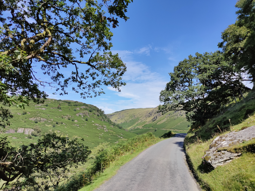
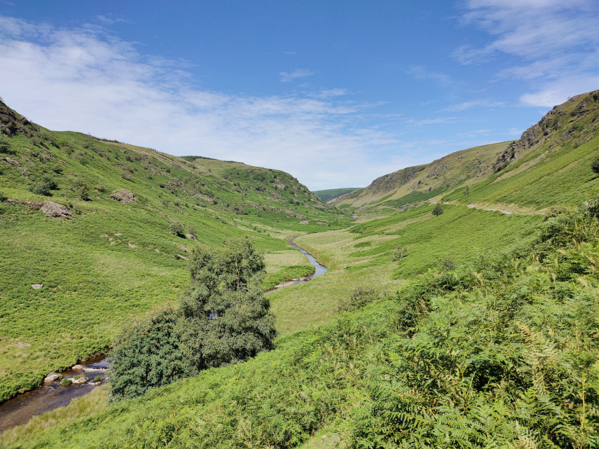
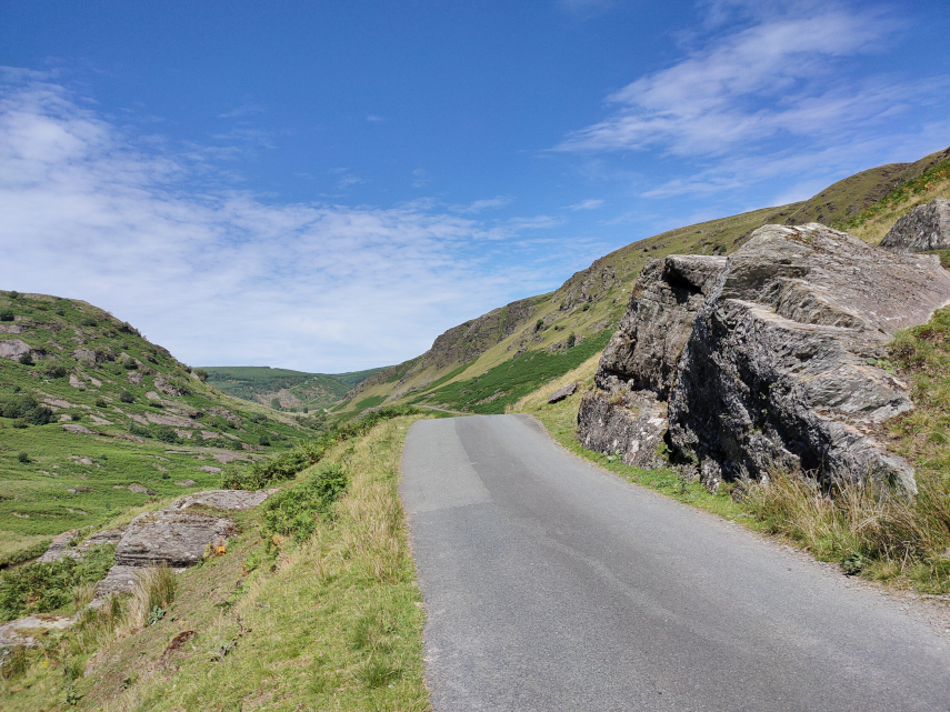
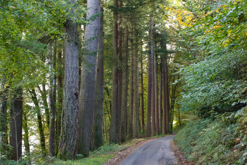
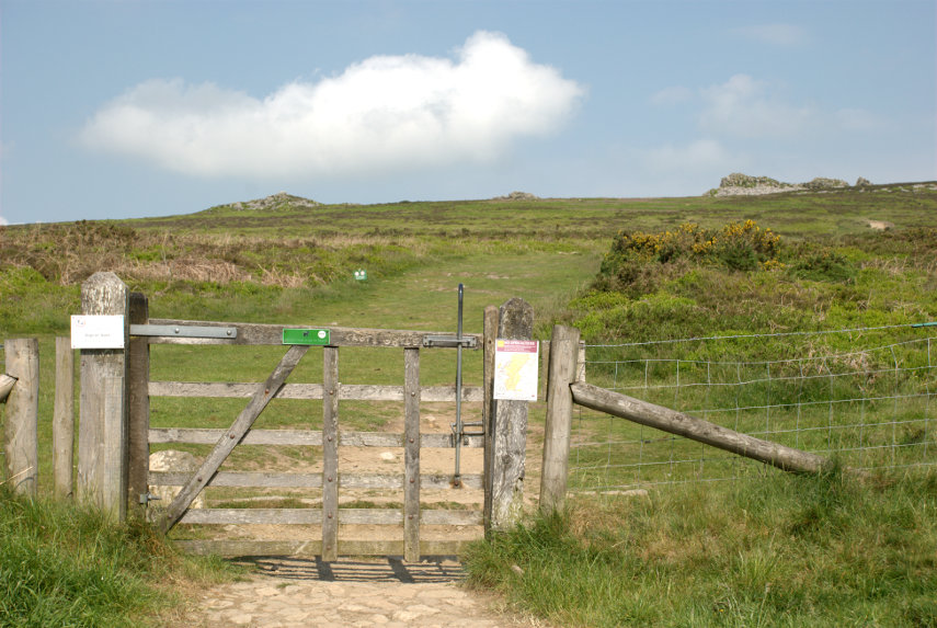
Welsh travelling rules have recently been relaxed so it was time for a day out. We weren’t going far, just 16 miles to the high ground near Newtown and although the road is a typical narrow, winding Welsh backroad it didn’t take us long. We parked in the little free car park at the start of the Kerry Ridgeway which runs for about 15 miles to Bishops Castle although we weren’t going anywhere near the distance.

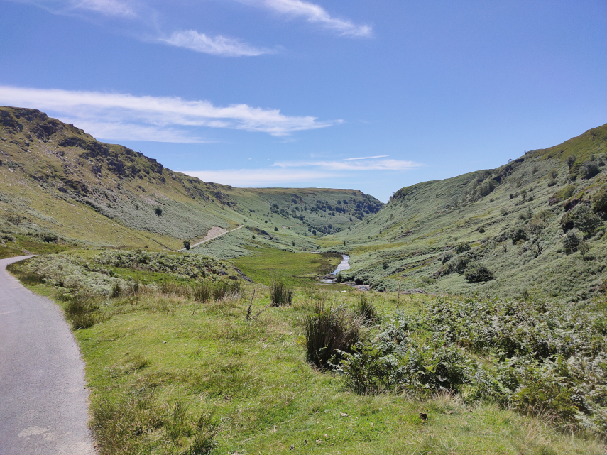
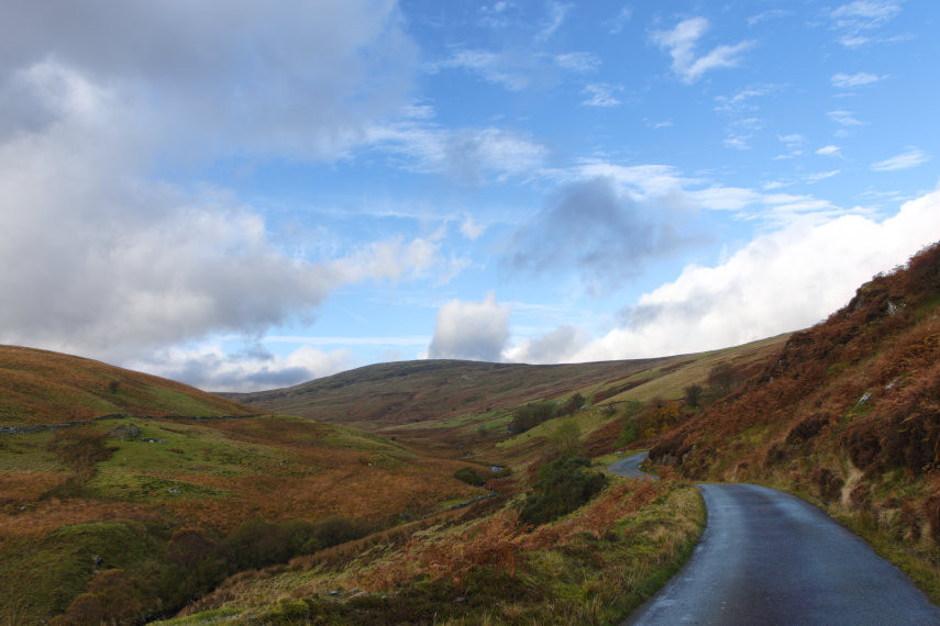
This is where we stopped and shows the Knighton-Newtown road with the little car park to the right and the start of the Kerry Ridgeway path along the side of the road. The Kerry Ridgeway is one of the oldest paths in Wales probably from the time of the Bronze Age.

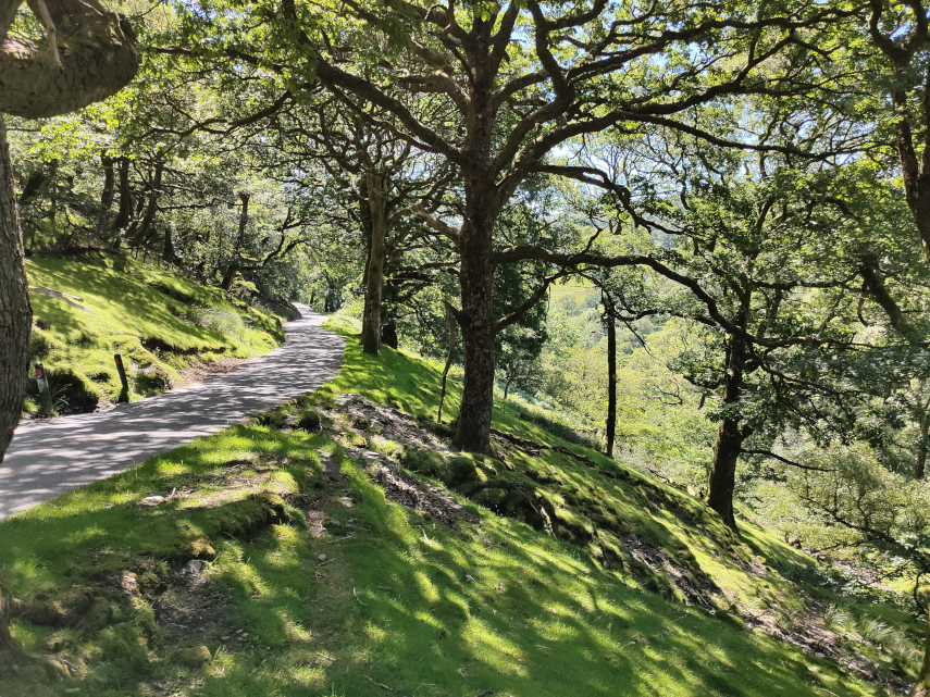
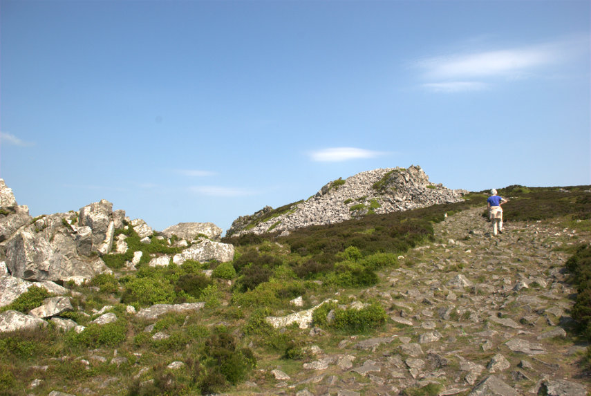
We started up the path and soon reached the bend where the path turns away from the road and continues uphill.

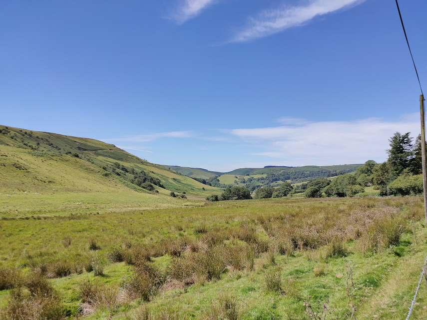
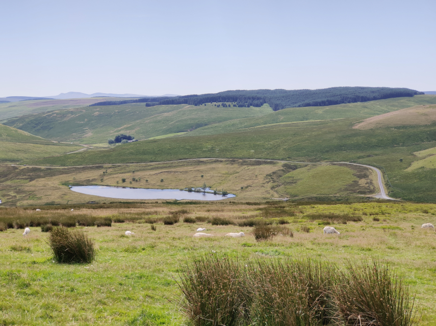
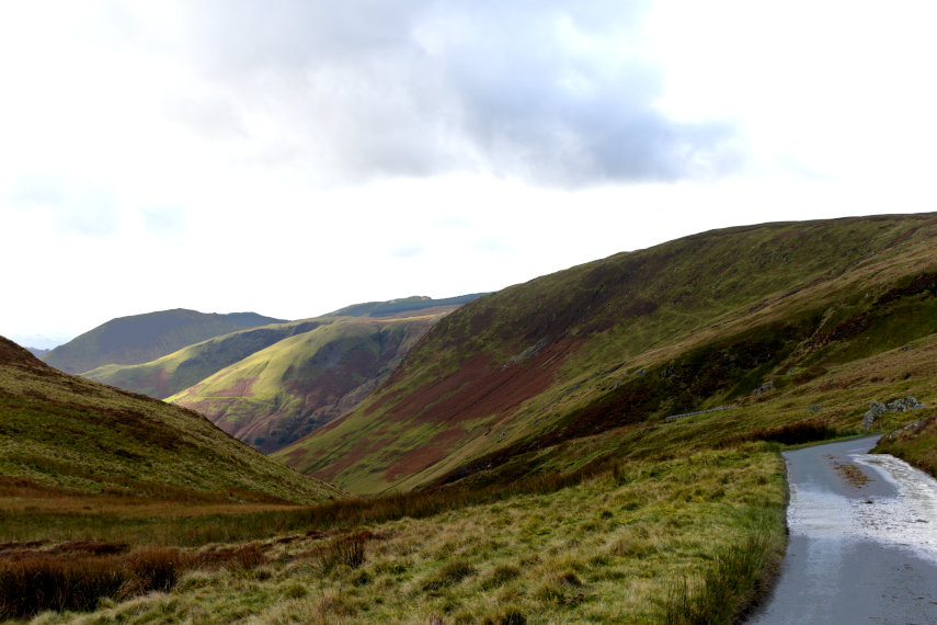
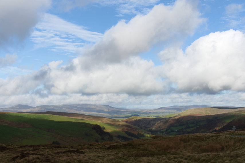
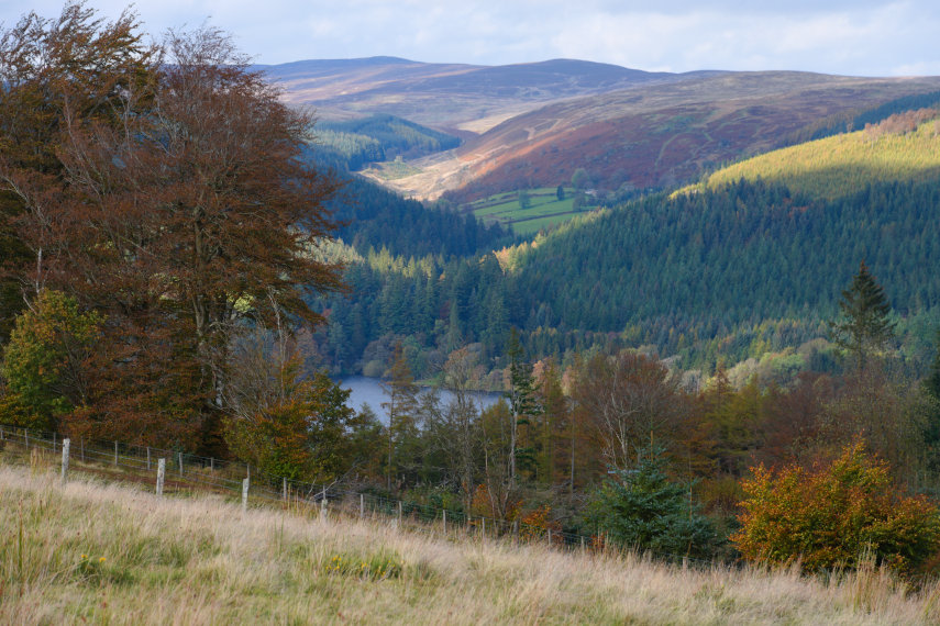
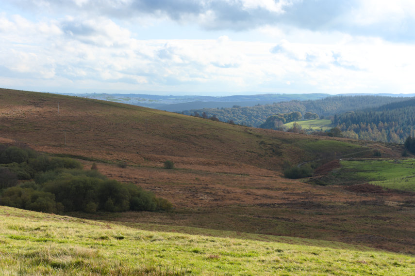
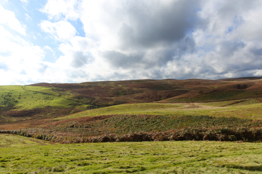
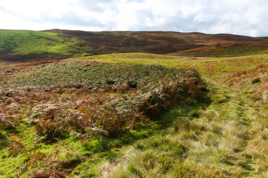
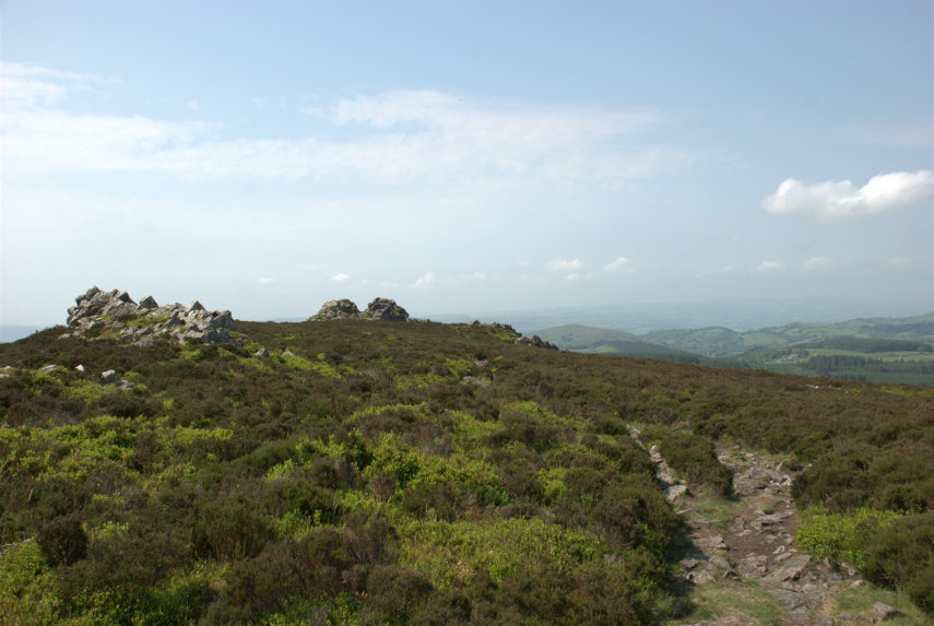
As we had started from high ground we had good views almost instantly although it was very hazy.

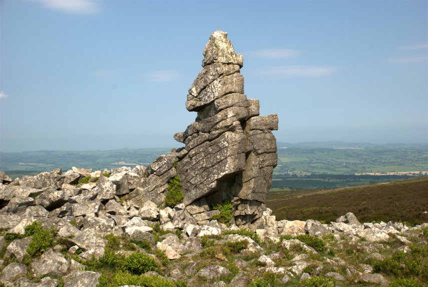
We walked further along the path looking for the Cross Dyke and soon found it. We couldn’t really miss it could we?

The Cross Dyke, just beyond that wooden post, crosses our path and the next picture shows the twin banks heading downhill towards Newtown and the following picture shows them running down to cross our path and join the top picture of the two below.

The Cross Dyke marks an ancient boundary long since forgotten but, rather like Offa’s Dyke, they took a lot of trouble and effort to build it.

Nearby are the Two Tumps which are Bronze Age burial mounds. There is one on the left, just poking above the far horizon, and one to the right of that, and a little further back, with the far horizon just showing over the top.

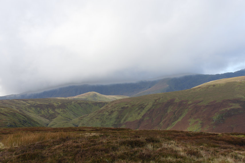
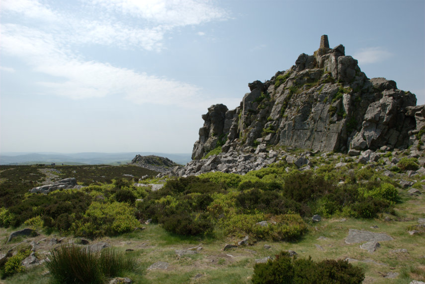
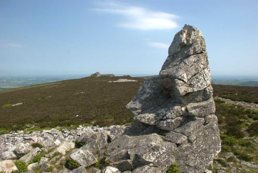
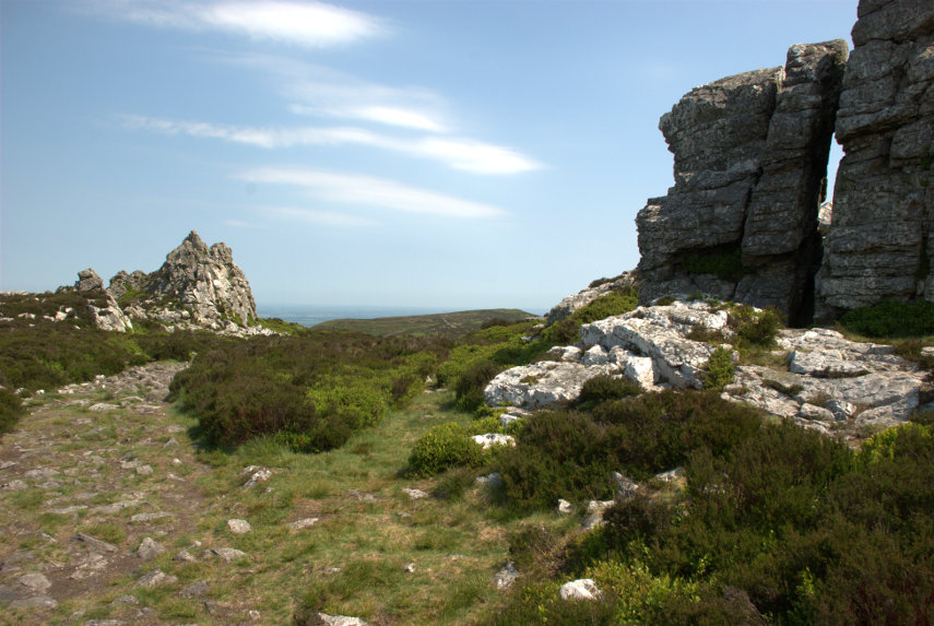
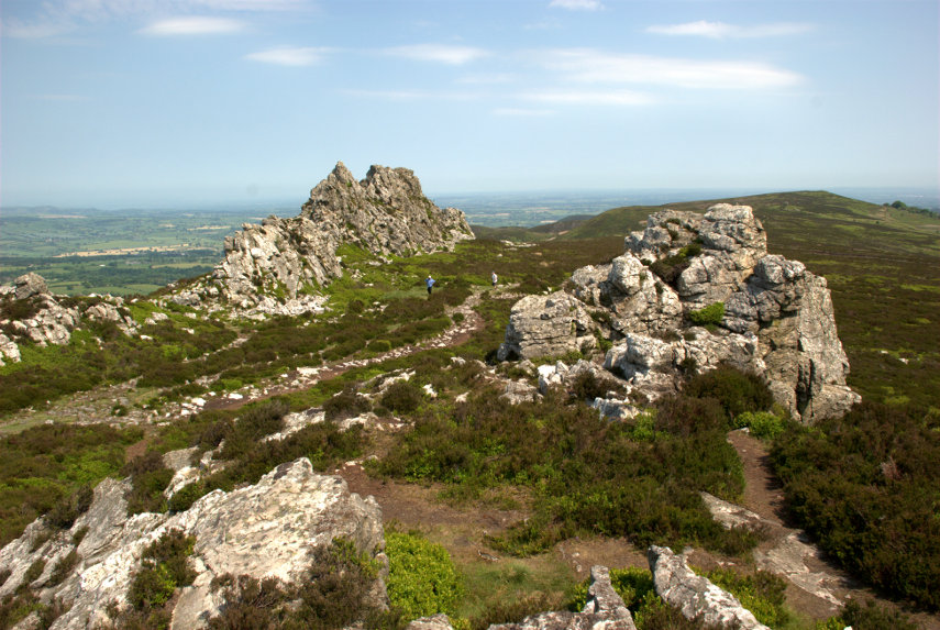
We headed further up the path as far as this viewing point which has information, hill names etc., to identify what you can see around you.

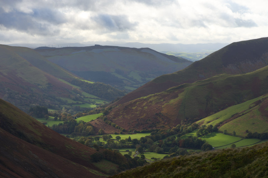
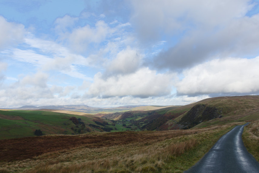
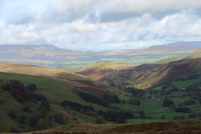
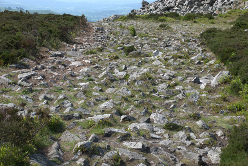
It was now time to leave the Kerry Ridgeway, as we had more to do, so we headed back down the path admiring the views on the way.

Along the path I spotted a small area of tiny flowers and there is also a daisy to give a scale. Difficult to identify precisely because there are so many different varieties but it probably is a member of the Whitlow-grass group.

We soon arrived back at the car having been serenaded by Skylarks along the way. We drove towards Knighton for no more than a half-mile and parked in a large layby next to a landscape feature know as ‘The Ring’.

The Ring is a geographical feature caused by the River Teme eroding the bank and causing the higher ground to collapse and then the collapsed soil to be washed away. This picture was taken from road level on a previous occasion and the river is partly in flood producing this waterfall.

On this trip it was relatively dry with little water flowing.

This is the Ring itself. It’s called ‘The Ring’ because it is shaped like a large semi-circular amphitheatre.

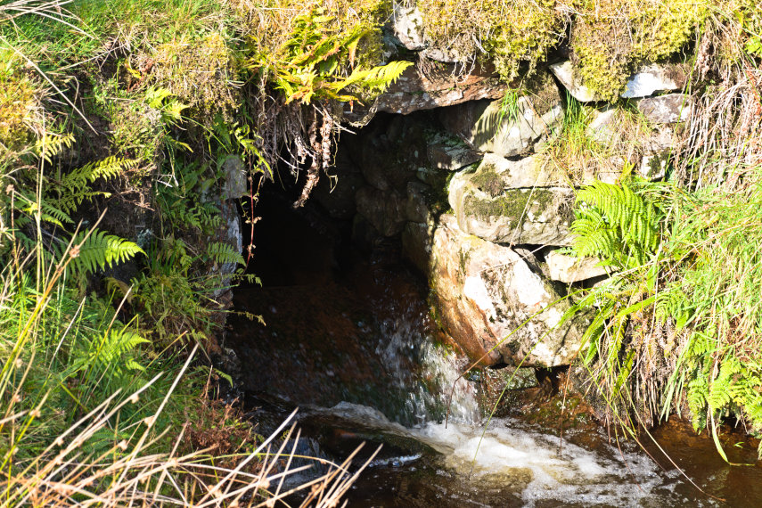
We decided that we needed to climb down to look more closely at the waterfall which was at the bottom. It is not safe to climb down just anywhere because the sides are generally far too steep. So we had to visually plot a route down and then set off. The route we followed proved to be quite easy and it didn’t take us long to reach the river.

There was just a trickle of water over the waterfall, which is a pity, so we shall, perhaps, have to try again sometime when it is a bit wetter.

This is the River Teme, the same River Teme that flows through Knighton, heading off from the waterfall down the valley towards Knighton and we now hope to do the same. All we have to do is get back up to the road. We did that without incident, although slower than coming down.

The end of our short, but interesting, trip.

On the road to nowhere

On the road to nowhere

In April 2017 we traversed the Cambrian Mountains, on our way to Devil’s Bridge, on one of only two roads which go over the Cambrian Mountains. This is the blog that covers that trip. https://www.beenthere-donethat.org.uk/deoprrssw/?p=2428

We now decided that it was time to explore that second road. We weren’t going to a particular destination but purely to see what that road was like (Have you ever had a premonition that you are about to make a mistake?).

We headed off, on a warm sunny day, towards Beulah. Yes, I know, you’ve never heard of it. Well it’s a small village about 8 miles south-west of Newbridge-on-Wye in Powys. This is where the mountain road starts and having turned on to it, and before we’d left Beulah, we spotted a nice little church which we had to explore. The original path into the churchyard went over this cute little bridge but the current path bypasses the bridge.

And this is the little church. It is not very old, having been built in 1867, but it is very attractive.

Having had a quick look round ( what else can you do with a church that small?) we set off again along the road. This road is just one car’s width and does have passing places but you can bet that you won’t be near one when you meet a car coming the other way.

The first part of this road is mainly wooded but eventually after a gentle climb of some miles we came out into the open. We continue to head upwards through that valley round to the left.

We carried on to the village of Abergwesyn where we’d heard there was a ruined church. We couldn’t find the ruined church, if it still exists, but we did find the old churchyard with a mega Yew tree.

We carried on and soon went into another wooded section of the road with an unprotected steep slope on one side. No barrier to stop you driving off the edge and you do have to drive relatively near the edge because the road is so narrow.

I was quite pleased when that was over. Next we reached the Devil’s Staircase – a steep bit of read with some hairpin bends. The name is more worrying than the actual road and we successfully negotiated that section without problems. We reached another open area and we are still climbing but the views were getting better.

The road was beginning to get interesting now. It was bending in three dimensions and they tended to be sharp bends. When the bend was in the vertical plane the road beyond the top of the hill couldn’t be seen until the car was beginning to tip down the other side so one couldn’t see which way the road was going to go and there was always the possibility of a car coming the other way. Travelling was slow and if there was a short stretch where one could attain 20 MPH then that would be considered very fortunate. The same applied to bends in the horizontal plane – it meant driving really quite slowly. Don’t pick an argument with a rock – you won’t win.

Having reached the top we took a 7 mile detour to have a look at a reservoir we had heard about, Llyn Brianne, and it turned out to be a worthwhile detour. But it certainly increased our bend count.

Our road was now going downhill again but the bends didn’t get any better.

We finally reached the end of the road in a small town called Tregaron which was a relief from the bends – but not for long. We now had to return home which meant travelling the same route in the opposite direction. I was really looking forward to doing all those bends again. :(

I can tell you that by the time we reached Beulah again I was rather tired and we still had an hour to go to reach home. However we did reach home without incident and I don’t intend doing that journey again in a hurry!

The Island in the Sky – Day 3

The Island in the Sky – Day 3

The weather forecast for today was cloudy but dry so I opened the curtains with a little trepidation, especially after yesterday, to find this.

If that’s the sort of cloudy they meant I’m all for it. Today we go home but not straight home. We plan to go to Lake Bala for a ride on the Lake Bala Railway and to do that we have to go over the Hellfire Pass. We first have to drive along the edge of the lake and passed these rather fine, large trees.

We did notice that there are a goodly number of these very tall, very straight trees in various places around the lake. Nice to see.

We reached the start of the backroad which leads us up to the Hellfire Pass and found that it was a typical Welsh backroad – one car’s width and rather bendy both laterally and vertically.

We were climbing along the side of a valley to our left which Amanda could get a good look at, I didn’t want to take my eyes off the road, and she said it looks really beautiful with a stream running along the bottom and, apparently, waterfalls every few yards.

We managed that road easily enough especially as we didn’t meet any other vehicles (makes life easier) and we eventually turned right on to the Hellfire Pass road. Very soon after a short climb this came into view. There are very, very few places where one could stop off road so, to take this photograph, I just stopped where I was in the road. Again there were no other vehicles and that view is rather dramatic.

We went on a short way to the point at which we could see around that left-hand bend in the valley and I had to stop in the road again for this view.

What a view!

Soon after this we reached the top of the pass where there was a car park – the only one we encountered since we left Lake Vyrnwy so I had to take some more photographs of the views. Incidentally this is the second highest pass in Wales. I mentioned in a previous blog post that we had been over the highest pass in Wales – the Gospel Pass. I wonder where the third highest is?

Now we started down the other side which proved interesting. At times there was level ground either side of the road and at times there wasn’t. There was a very steep slope on the left and there was sometimes a crash barrier and sometimes there was nothing. This, remember, is on a road which is just wide enough to take one car. We did make it down safely and made our way to the Lake Bala Railway terminus.

The train above, waiting in the station, was the one we caught but not before we had a good look around.

This is our rather cute little locomotive called ‘Winifred’. It apparently wasn’t the intended locomotive for today but had to be used because the other one developed a fault this morning.

You may notice that it does not have a cab, so no protection from the elements for the crew, and there isn’t exactly a lot of room on the footplate.

The seating in the carriage wasn’t exactly plush but comfortable enough for a short journey – 30 minutes each way.

This is ‘Maid Marion’ the locomotive that was going to be used today until she got the hump. At least the crew would have had some protection from the weather in that little cab.

This train rockets along at about 10 miles per hour so I was able to take this next photograph of Lake Bala on the move without being joggled about too much. Pretty ain’t it?

When we reached the far end of the line, and the lake, the locomotive had to be uncoupled and moved round the train to the other end which is what’s happening below.

It looks cosy on that small footplate and it’s a good job that it wasn’t raining hard – they don’t even have an umbrella.

I apologise for this next video. It stops prematurely because storage on the camera had filled up. Bother!

That was the end of our trip so it’s time to go home. That was a rather short trip but we didn’t have any idea what the area was like or what the hotel was like so it was a trial trip really. We did like the area and the hotel very much so we would certainly like to re-visit Lake Vyrnwy again, if we can. Until next time!

The Island in the Sky – Day 2

The Island in the Sky – Day 2

The next morning we couldn’t wait to draw the curtains and this was our view.

Oh! Were did all that fog come from? Whilst we were preparing to go down for breakfast we kept an eye on the view and it was then that we saw the island in the sky. What an astonishing view!

The view was changing over time and we realised that the fog was slowly disapating and we could see more of the island as it did so.

However breakfast awaits!

After stuffing ourselves at breakfast we prepared to go out. First we were off to the local village Llanwddyn (pronounced lanurthin) to look at the dam at this end of the lake and I must say it looks very impressive.

Looking from the dam across the lake we can see the straining tower where the water first passes through a fine metal mesh to filter or strain out material in the water. The tower stands in over 50ft deep water and is over 150ft high but much of the structure is hidden underwater and cannot be seen.

Some of the earlier fog is still hanging over the water which makes the scene that much more picturesque.

From the top of the dam part of the village shows in the early morning sun.

Then we set off on today’s adventure which means climbing up the hillside to look at the remains of a Knights Hospitaller Hospitium built in the 14th century.

The first part of the walk was through forest so we could see little but trees. When we finally left the forest we could still see a small portion of Lake Vyrnwy and some beautiful autumn colours.

We were now out in the open trying to navigate across the relatively featureless moorland.

If you look carefully at the image above you should be able to see a diagonal track starting near the left-hand edge of the horizon and sloping down into the picture. That track leads down to the Hospitium but we didn’t know that at this time.

We are much further along now and you can still see that diagonal track disappearing into the dip ahead. It turns out that what remains of the Hospitium is in among that Bracken on our left. It would be very difficult walking through that so, although it was disappointing, we gave it a miss.

We went on round to the left and down into that valley which is where that diagonal track was leading and in the valley is a small stone bridge over which that track passes. This medieval bridge is a crude but functional structure and each side is shown in the photographs below.

There was supposed to be a spring near the Hospitium and Amanda found it by wandering around until she could hear rushing water. It was rather buried in the undergrowth but the flow was very strong.

We made our way back to the car (much easier to say than to do) and as it was parked next to the lake we noticed that the change in the direction of the sunlight was now lighting up the arches in the top of the dam rather nicely.

Driving back to the hotel I spotted this nice view of the hotel so stopped to take a photograph.

We went up to our room to prepare for dinner and later I took this photograph of that same view from the window again but different lighting.

I don’t think I could ever get bored with that view.

Moor and More

Moor and More

August has been a dismal month. Cloudy and cool a lot of the time and you would never have guessed that it was supposed to be summer so on the very few occasions when the sun did appear we jumped at the chance to go out somewhere.

About 16 years ago around the time that this web site was started we ‘discovered’ Carding Mill Valley in the Long Mynd near Church Stretton and, having looked on the map, it was evident that there was a walking route shaped like a ‘Y’ where one could start at the bottom of the Y, walk up taking the left fork, where it divided, then walk across to the other arm of the ‘Y’ and walk back down to where one had started.

I’ve always wanted to do that walk but have never managed it until today. The weather forecast was clear skies for most, if not all, of the day. They were lying as usual. Although we had a very good amount of sun the sky was anything but cloudless. We set off for Church Stretton and were planning to come down into Church Stretton via the Burway. This is a very minor road which goes over the Long Mynd.

The picture below was taken on the way up and you may notice that on the right-hand side of the road the ground drops away suddenly. On the way up that drop is on our left and, although not vertical, the drop is very steep and you really wouldn’t want to drive off the edge. The road is only one car wide so if another car comes from the opposite direction one must find a passing place and, for us being on the left, we have to take great care squeezing past so as not to go off the edge.

We did meet a car coming the other way and we survived.

We eventually arrived at the top to be greeted by a large expanse of moor with heather scattered here and there not to mention the amazing view.

I stopped to take this next picture because somewhere down in the dip is Church Stretton and the heather looked wonderful.

As we progressed downward we could see the hills around Church Stretton and there was still plenty of heather in view.

As we descended we gradually lost the heather but the hills still looked pretty impressive. In the picture below the buildings in the trees at the end of that ridge is Church Stretton and, if you remember, we are planning to walk back up here not to mention down again.

We finally made it to Church Streeton and drove into the National Trust car park in Carding Mill Valley and went into their restaurant for lunch. We both had some Pea and Mint Soup, with bread, which was very tasty and very welcome. Afterwards I had some Bread Pudding and Amanda had a Chocolate Brownie which was followed by tea for her and coffe for me.

Now we walk! surprise

The picture below shows the start of the path, near the car park, up the valley.

In the picture below we have reached the banch in the ‘Y’ and are going left behind that tree and, we hope, we will be coming back down the path on the right.

When we got to that junction we stopped and looked back at the view in the picture below then headed further up the valley with its interlocking spurs (Geography) in the picture after that.

We finally arrived at the little waterfall. Here we go off to the right up a near vertical climb. It is rocky which makes it very easy because it’s like going up stone steps. We managed that without incident and continued along the valley until we reached the high moorland once again although not in a car this time.

We found a pond up here and Amanda apparently found something interesting to look at. Probably she was bending down for a rest but didn’t want to admit it.

We walked along the high ground until we found the start of the path down and you can see that we weren’t the only walkers about. You may be able to see Church Stretton in the distance.

As we get lower there is less heather around.

More interlocking spurs in the picture below and although we are losing the heather it is still in evidence.

Finally we arrive back at the junction of the two arms of the ‘Y’. Remember that little tree by the path at the bottom there?

You will have guessed that we made it back to the car otherwise I wouldn’t be writing this. August is not a good time to come to a place like this as the lower parts are very popular and the children are on holiday so everyone and his dog are there but we wanted to see the heather and, guess what, heather blooms in August.

Well it took me just 16 years to achieve my ambition but I finally made it. laughyes

A devil of a walk

A devil of a walk

When Amanda was a child she used to read books by Malcolm Saville some of who's stories were situated around the Stiperstones in Shropshire and she had always wanted to vist them. The Stiperstones are on a ridge a little west of the Long Mynd near Church Stretton and is about a 45 minute drive from us so, of course, we had to go.

There is a car park at the bottom of the eastern flank of the Stiperstones ridge and that is where we parked. We found the start of the footpath up to the ridge easily enough and could see some of the rocky outcrops on the summit of the ridge from the car park.

The slope wasn't too bad but the distance is longer than it appears in the photograph. This area is designated as an NNR (National Nature Reserve) and has lots of interesting wildlife including lizards and adders (venomous snakes) to mention but a few.

We reached the ridge after a not too strenuous walk to be greeted by this view.

It was unfortunate that we picked a hazy day which meant that, although it was a lovely day, the distant views were partly obscured. The views still looked amazing though and we started along the ridge which meant that, from this point, we were still climbing.

You'll never guess who that is ahead.

This ridge was formed about 480 million years ago from quartzite and during the last ice age these rocky outcrops stood above the glaciers and were subject to constant freezing and thawing which shattered the quartzite into a mass of jumbled rock as we were to discover.

That jumbled rock was eventually covered in vegetation but when people walk over it the vegetation wears away and, if it's popular (which it is), the soil is worn away too leaving the exposed rock. This is what the path looks like:

Let me tell you that is very awkward and uncomfortable to walk on. It is very unwise not to look at the ground whilst walking and, if you want to look at the view, then stop walking first.

A number of the various rock outcrops along the ridge have names and this was the second one we reached. This is called Manstone Rock and has an Ordnance Survey trigonomentry point on it which you should be able to see. Amanda 'collects' these so that was one to add to the list.


At the far end of Manstone Rock was this interesting rock pillar formation:


So on we went towards that distant outcrop in the picture above, the Devil's Chair, which is the one on the right below.

Luckily (or otherwise) there was a little devil in situ:

I hope it doesn't put you off going there. At this point we must be near, or at, the maximum height of 1759 feet as you may be able to see from the view in this next picture.

The two figures on the path between the rock outcrops give an idea of scale and they were two of the few other people we saw on this walk. We did hear, and see, some skylarks singing in the sky above our heads and we also saw two lizards although they quickly scuttled off into the heather but, sadly, no adders.

We turned around and made our way back along that dreadful path although once we reached the downward turn the surface was much better and we soon arrived back at the car park.

We drove down to The Bog, as you do, which is a visitor centre for the area and we had a light lunch before moving on to our next, and final, destination. It was a short drive on normal roads then a short, slow, very bumpy drive up a track to a small parking area and this is what we came to see:

It is Mitchell's Fold Stone Circle. Not quite as spectacular as Stonehenge, smilies, but it is possible to walk among, and touch, the stones. They appear to vary in size because a number of them have fallen and have been left in that position.

This view shows Corndon Hill in the background and also a little Amanda sitting on the grass on the far side.

Have you ever had that feeling that you're being watched?

This is a Bronze Age stone circle in Shropshire situated at a height of 1083 feet and is a Scheduled Ancient Monument in the guardianship of English Heritage. As with most sites of this type, its true history is unknown but the doleritic stones came from nearby Stapeley Hill.

In the beginning there may have been some thirty stone pillars and the survivors that still stand range in height from 10 inches to 6 feet 3 inches and stand in an ellipse 89 feet NW-SE by 82 feet.

That was our day! Two quite interesting (we thought) locations and just a shortish drive home.

Getting bored with all these Welsh/English borders views yet? smilies


Rock and Water – Day 4

Rock and Water – Day 4

Amanda and I aren't talking to each other this morning! That's because we are each going to different places, me back to Great Asby Scar and Amanda to the small market town of Kirkby Stephen.

Amanda is catching a heritage (rather old) bus into Kirkby Stephen and she actually took a photograph of the inside whilst she was going along. This bus had a platform entrance at the rear and a conductor!

The stairs to the upper deck started from the rear platform.

The roads around here can be very steep and Amanda said the bus made a bit of a meal of them and, at one point, she was afraid that the driver would run out of gears but they arrived safely in Kirkby Stephen.

Meanwhile I had driven up to Great Asby Scar again but to the west side this time. I had heard that the limestone pavements on that side had a distinctly different appearance so I parked the car and set off over the moors. One and a half miles later I could see my destination in the distance.

It didn't take long to get there and find that it was much the same as the pavement on the eastern side.

Perhaps I wasn't in the right place but I didn't have any more time and it would take hours looking around an area like this so I made my way back to the car and thence to Kirkby Stephen. Nice scenery though.

I met up with Amanda in Kirkby Stephen and we had some lunch before venturing out into the little town. We first visited Frank's Bridge; a 17th century corpse lane bridge across which coffins were carried on their way to the church.

In the town we saw this old signpost with distances marked in miles and furlongs and for those of you that don't know there are 8 furlongs to a mile.

We then chanced to walk over a bridge, looked over the edge, and this is what we saw.

There was obviously a serious amount of water there making quite a lot of noise. It was now getting late in the day so we went back to our hotel to prepare for dinner. Tomorrow is our last whole day before we leave for home.