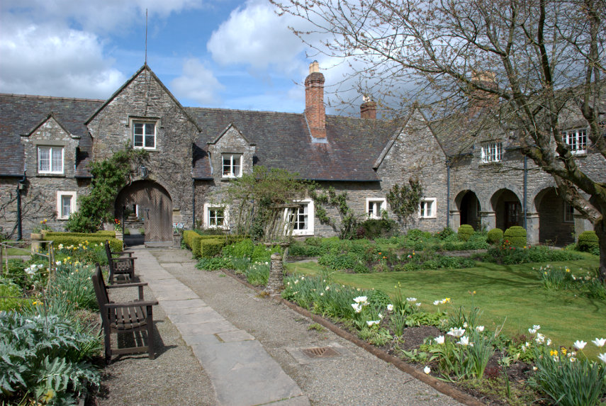
Browsed by
Category: All

A devil of a walk

A devil of a walk

When Amanda was a child she used to read books by Malcolm Saville some of who's stories were situated around the Stiperstones in Shropshire and she had always wanted to vist them. The Stiperstones are on a ridge a little west of the Long Mynd near Church Stretton and is about a 45 minute drive from us so, of course, we had to go.

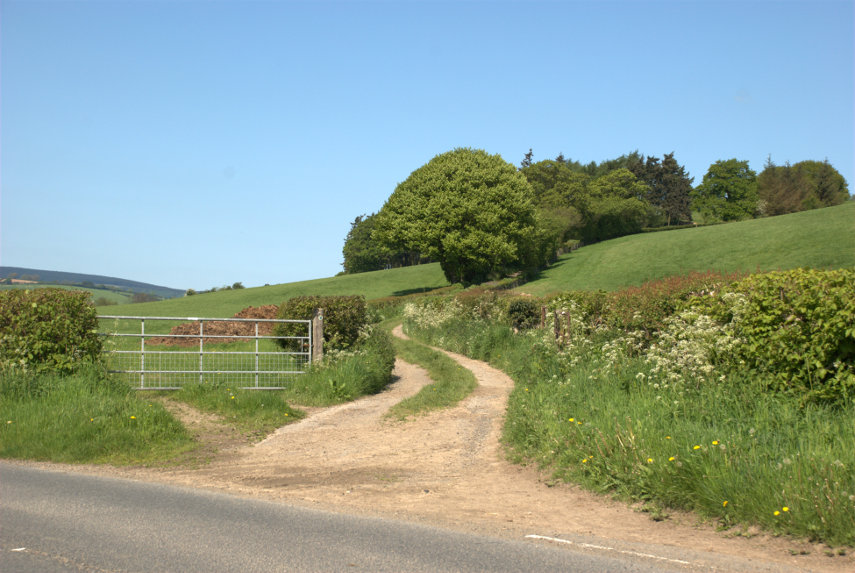
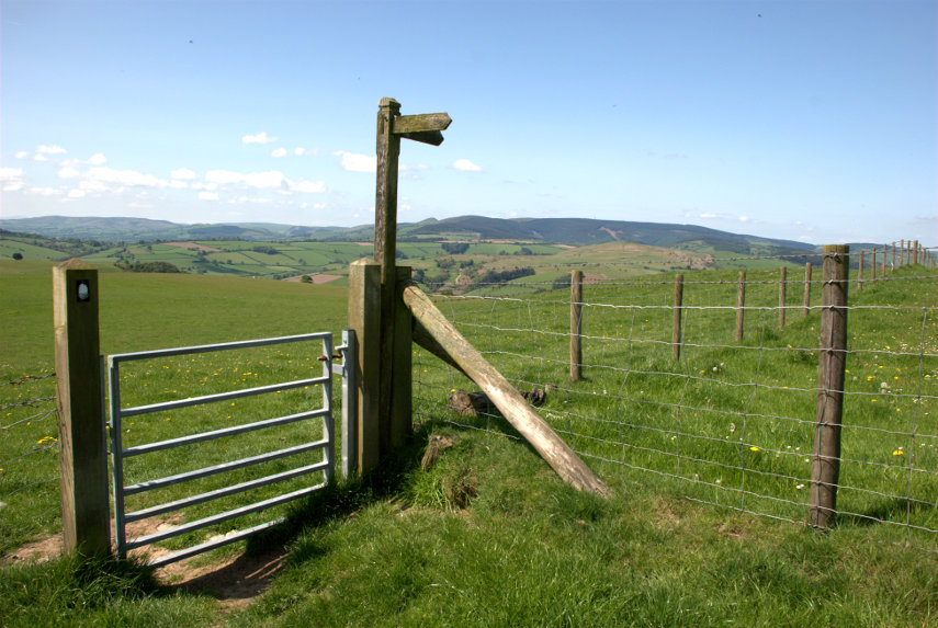
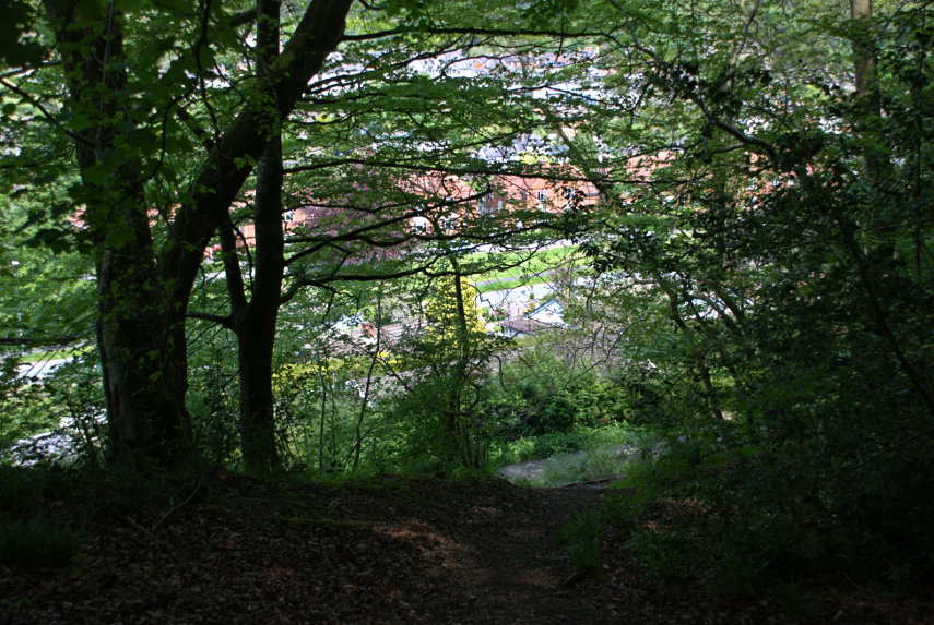
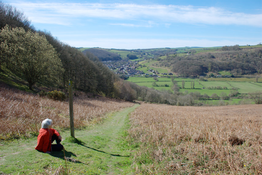
There is a car park at the bottom of the eastern flank of the Stiperstones ridge and that is where we parked. We found the start of the footpath up to the ridge easily enough and could see some of the rocky outcrops on the summit of the ridge from the car park.

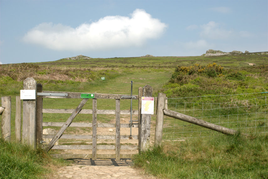
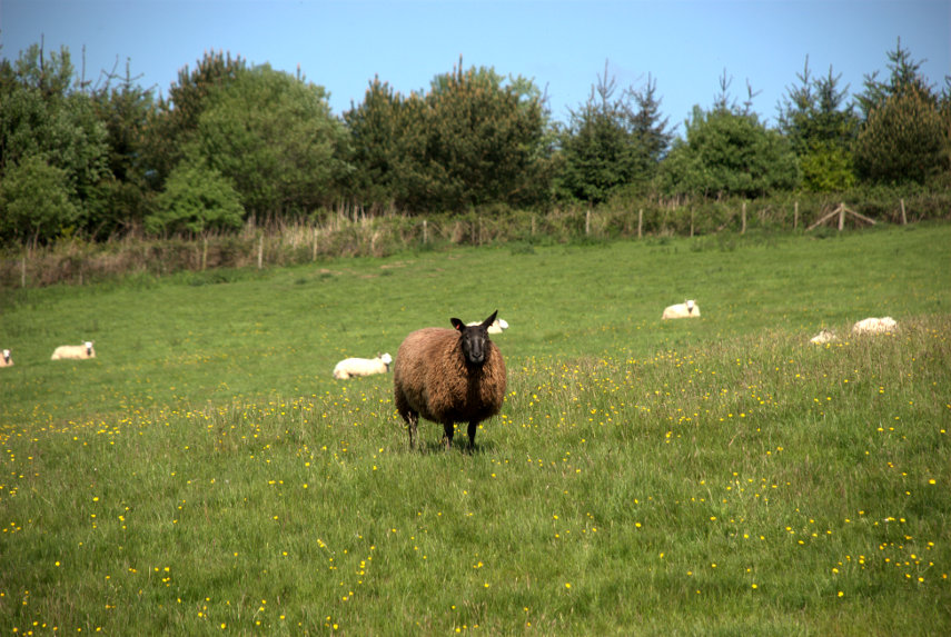
The slope wasn't too bad but the distance is longer than it appears in the photograph. This area is designated as an NNR (National Nature Reserve) and has lots of interesting wildlife including lizards and adders (venomous snakes) to mention but a few.

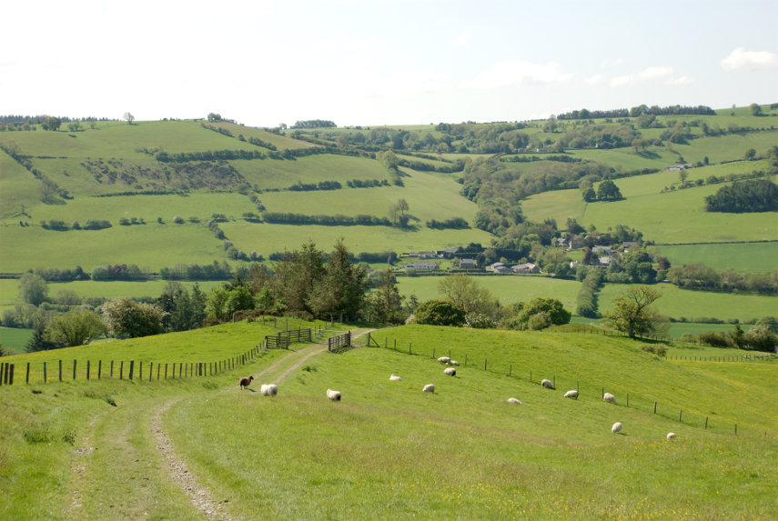
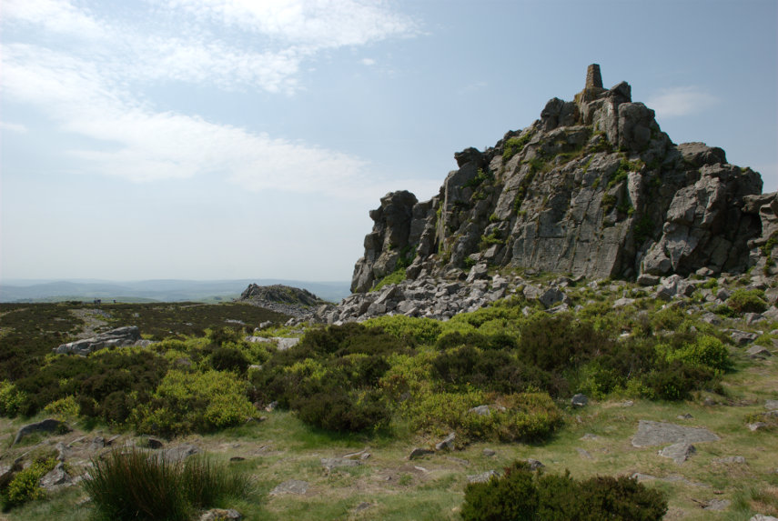
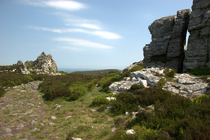
We reached the ridge after a not too strenuous walk to be greeted by this view.

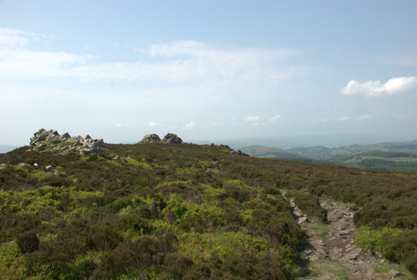
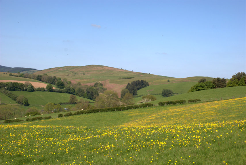
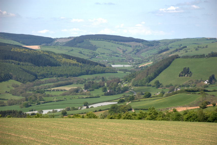
It was unfortunate that we picked a hazy day which meant that, although it was a lovely day, the distant views were partly obscured. The views still looked amazing though and we started along the ridge which meant that, from this point, we were still climbing.

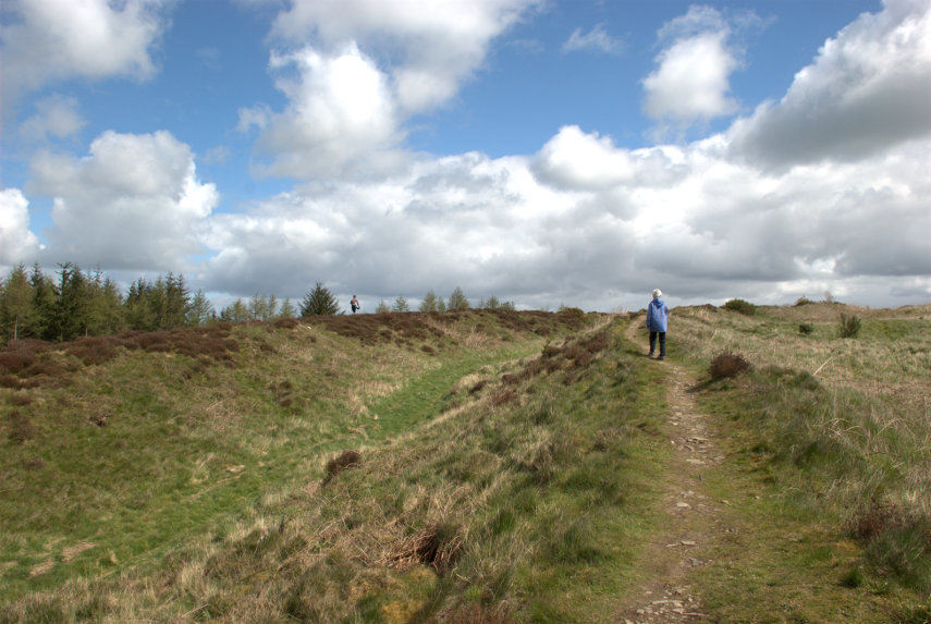
You'll never guess who that is ahead.

This ridge was formed about 480 million years ago from quartzite and during the last ice age these rocky outcrops stood above the glaciers and were subject to constant freezing and thawing which shattered the quartzite into a mass of jumbled rock as we were to discover.

That jumbled rock was eventually covered in vegetation but when people walk over it the vegetation wears away and, if it's popular (which it is), the soil is worn away too leaving the exposed rock. This is what the path looks like:

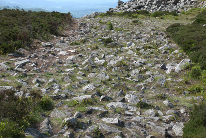
Let me tell you that is very awkward and uncomfortable to walk on. It is very unwise not to look at the ground whilst walking and, if you want to look at the view, then stop walking first.

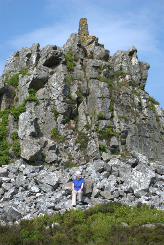
A number of the various rock outcrops along the ridge have names and this was the second one we reached. This is called Manstone Rock and has an Ordnance Survey trigonomentry point on it which you should be able to see. Amanda 'collects' these so that was one to add to the list.


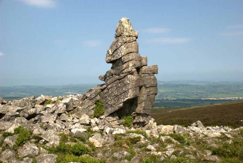
At the far end of Manstone Rock was this interesting rock pillar formation:


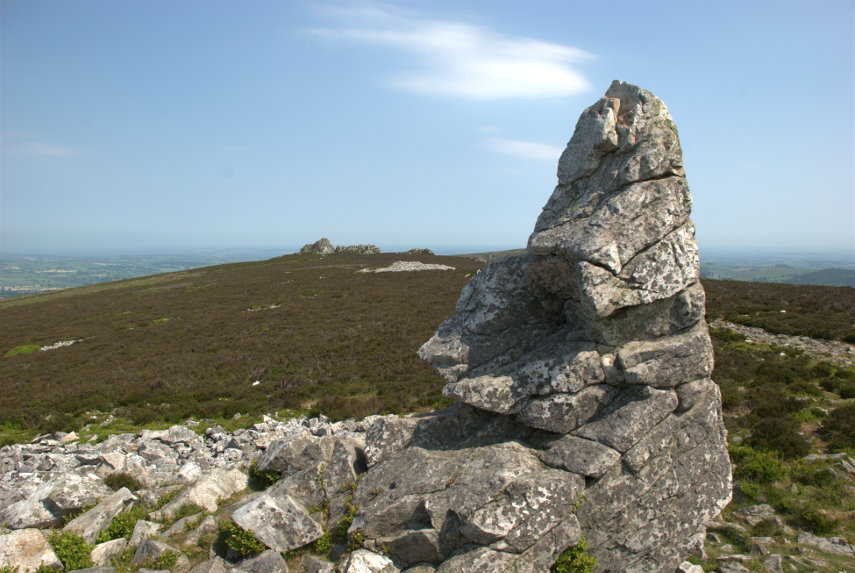
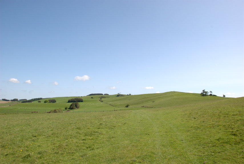
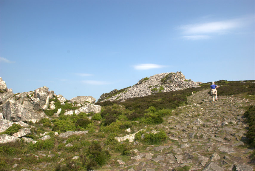
So on we went towards that distant outcrop in the picture above, the Devil's Chair, which is the one on the right below.

Luckily (or otherwise) there was a little devil in situ:

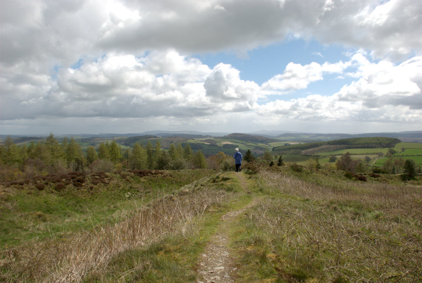
I hope it doesn't put you off going there. At this point we must be near, or at, the maximum height of 1759 feet as you may be able to see from the view in this next picture.

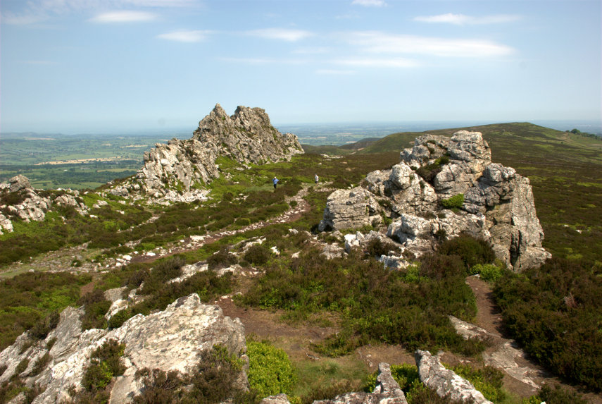
The two figures on the path between the rock outcrops give an idea of scale and they were two of the few other people we saw on this walk. We did hear, and see, some skylarks singing in the sky above our heads and we also saw two lizards although they quickly scuttled off into the heather but, sadly, no adders.

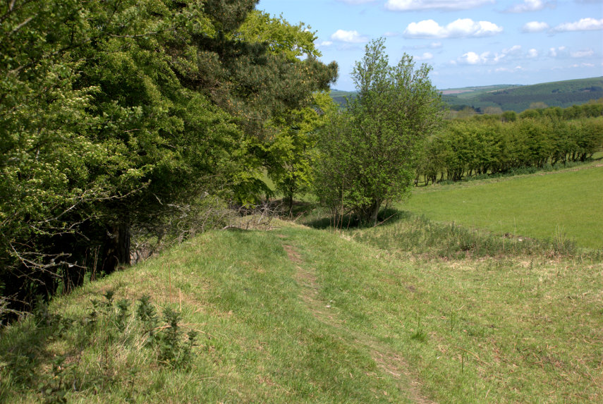
We turned around and made our way back along that dreadful path although once we reached the downward turn the surface was much better and we soon arrived back at the car park.

We drove down to The Bog, as you do, which is a visitor centre for the area and we had a light lunch before moving on to our next, and final, destination. It was a short drive on normal roads then a short, slow, very bumpy drive up a track to a small parking area and this is what we came to see:

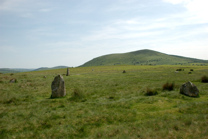
It is Mitchell's Fold Stone Circle. Not quite as spectacular as Stonehenge, smilies, but it is possible to walk among, and touch, the stones. They appear to vary in size because a number of them have fallen and have been left in that position.

This view shows Corndon Hill in the background and also a little Amanda sitting on the grass on the far side.

Have you ever had that feeling that you're being watched?

This is a Bronze Age stone circle in Shropshire situated at a height of 1083 feet and is a Scheduled Ancient Monument in the guardianship of English Heritage. As with most sites of this type, its true history is unknown but the doleritic stones came from nearby Stapeley Hill.

In the beginning there may have been some thirty stone pillars and the survivors that still stand range in height from 10 inches to 6 feet 3 inches and stand in an ellipse 89 feet NW-SE by 82 feet.

That was our day! Two quite interesting (we thought) locations and just a shortish drive home.

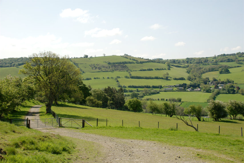
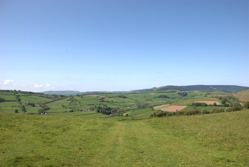
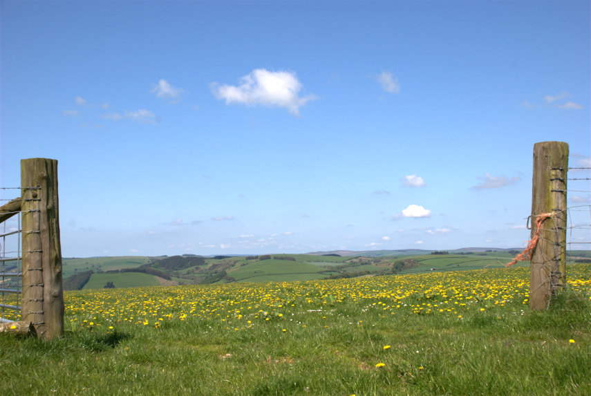
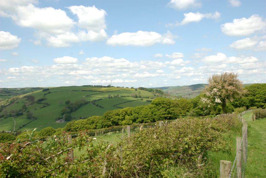
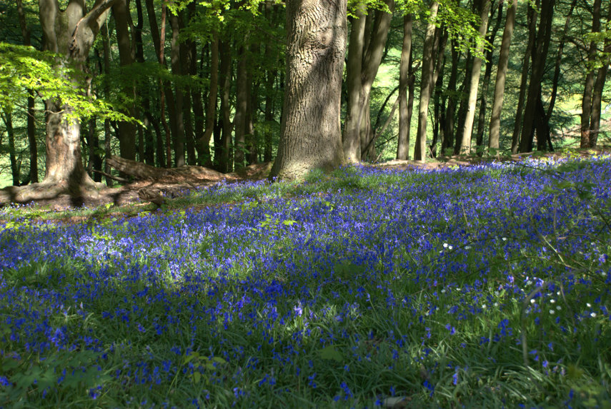
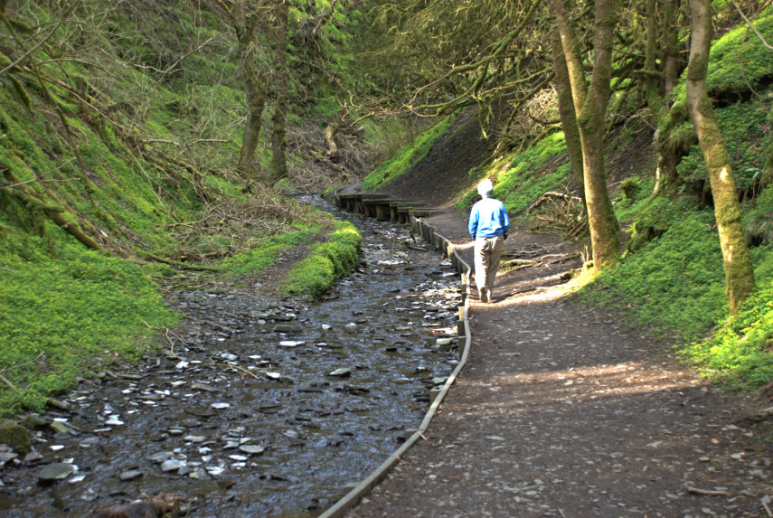
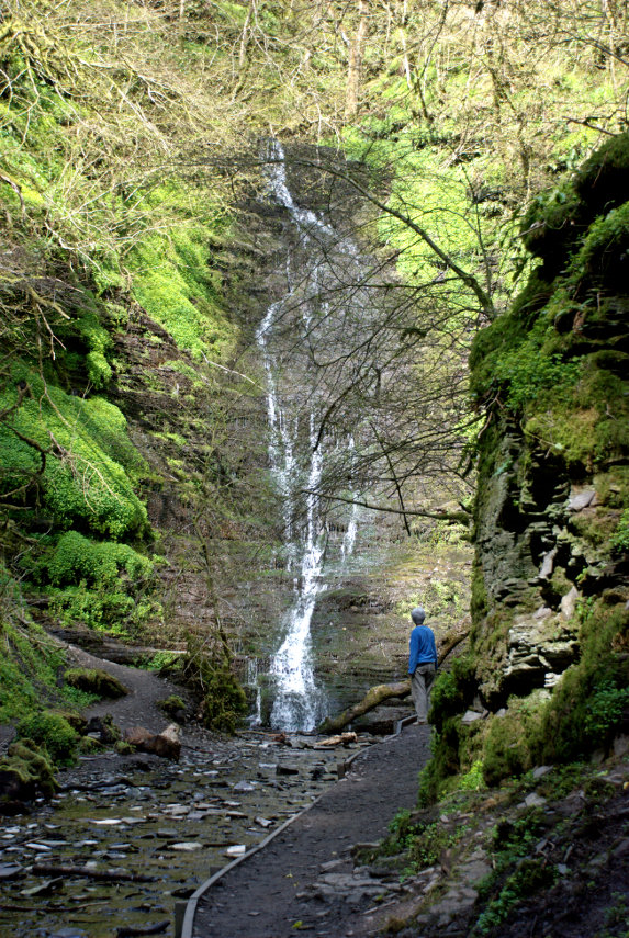
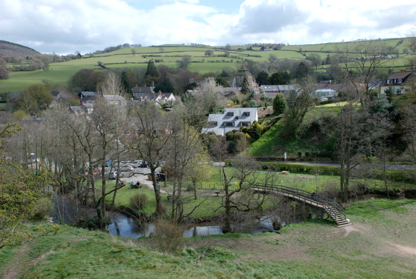
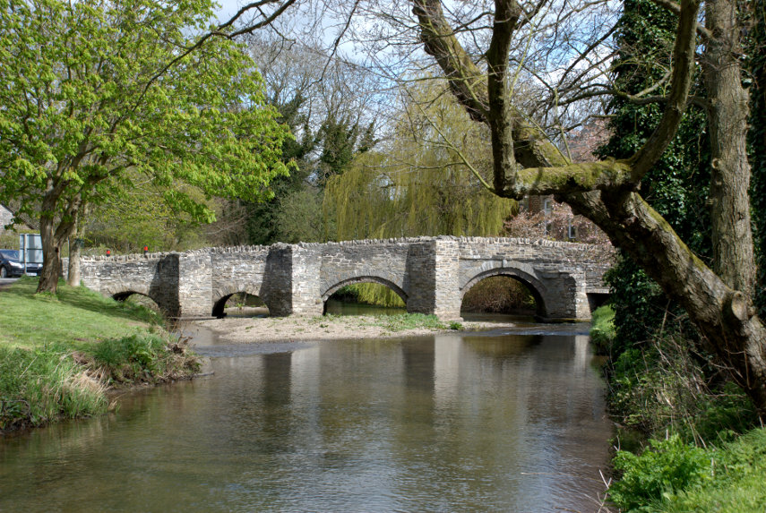
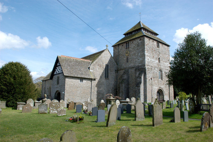
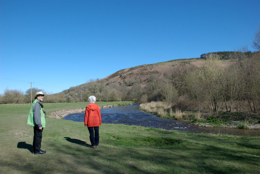
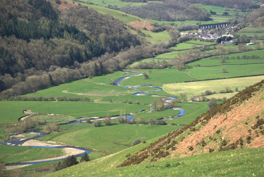
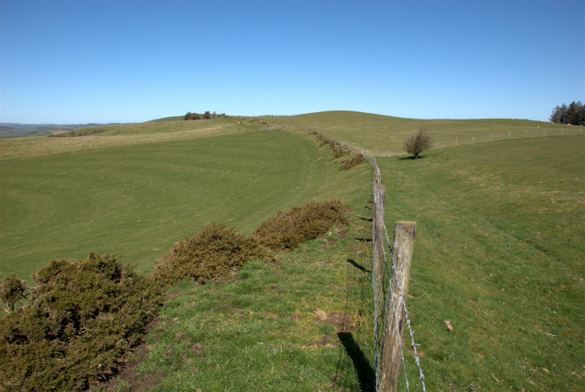
Getting bored with all these Welsh/English borders views yet? smilies


‘Hello Dolley’ then ‘Up, Up and Away’

‘Hello Dolley’ then ‘Up, Up and Away’

This is where it all started:

It looks pretty inocuous doesn't it? The start of a path in a little place called Dolley Green. This is part of Offa's Dyke Path where it passes through Dolley Green on its way to Knighton. From here to Knighton is 5 miles which is what I'll be walking having been dropped off by Amanda.

I watched our car disappear into the distance and started up the path. The only sounds were those of the birds and along each side of the path were Red Campion (red), Bluebells (blue) and Greater Stitchwort (white) – lovely!

I new that I'd be going over some significant hills so the fact that the path angled gently upwards wasn't a surprise and the highest point was some way away so I wasn't expecting anything steep. The path was lined with trees so that I couldn't see any of the surrounding landscape until I came out into the open.

That small group of buildings to the right is where I started; not a big place. I still couldn't see anything ahead because of the rising ground until I came to the brow of the hill.

Now that isn't a bad view and look at all those buttercups. Then the path became a little steeper. I expected to see a lot of sheep and I wasn't disappointed. This one was curious enough to come and get a good look at me.

It didn't come very near and eventually decided that I was decidedly boring and moved away so I moved on too. A little further on I stopped to look back.

Dolley Green is still visible but you can see that I've gained more height. My little black friend is also still visible on the path. I carried on along the path and then it started to get steeper and steeper and I went up, up and up. Remember me saying that I wasn't expecting anything steep? Well I was wrong.

 Having gained significantly more height I took two more photographs. The first looking back and the second looking ahead.


I was glad to see that the slope reduced a bit but I was still climbing. The path is well waymarked with signs such as this, english on the right, welsh on the left although some features such as gates or styles show just the acorn symbol.

The acorn denotes that this path is a 'National Path' and, as this is the only national path around here, it shows that you are on Offa's Dyke Path. The 'National Paths' are long distance paths including ones such as the Pennine Way.

The views from up here were tremendous, as you might expect, and included the inevitable sheep. There are changes of direction on this path but they are well signed.

I have just come through that gate having turned a right-angle and you can see the 'National Path' symbol not to mention the view beyond. I must now have reached maximum elevation, thank goodness, and still the views are endless but that, of course, is one of the reasons for coming.


One thing you may have noticed and that is that there has been no sign of Offa's Dyke. That is about to change as I reach a part where the dyke is apparent. The dyke bank in the first picture should be visible with the ditch on the right and in the second picture the dyke is decorated with bluebells along its length.


I mentioned earlier about the acorn symbol and this is another example:

The acorn symbol is visible on the left-hand gatepost which tells you that you are on the right path. Just beyond is a lovely patch of Bluebells and the line of trees is actually growing on the dyke which is well formed along this length.

This next section shows the dyke very well as the bank is quite high and has a well formed ditch this side of it.

I am now approaching Knighton and I see that the rounded hump off to my left is in fact Garth Hill which is very near our house. The TV transmitter mast on the top is also just visible.

Soon after that I start down the wooded slope which will take back into Knighton. It's not very steep at first but I know, from looking at the closely packed contours on the map, that it's going to get steeper and it does.

I can now see the buildings in Knighton below me, through the trees, and the slope is steep enough that the ends of my toes are resting against the front of my boots which becomes uncomfortable after a while. However I am soon back down and it's a short walk home.

The GPS statistics for my walk are below but you may want to skip them.

Distance 5.45 miles
Total time 3 hours 10 minutes
Of that time I was actually moving for 2 hours 4 minutes
Average speed 2.62 MPH
Maximum altitude 1112 feet starting from an altitude of 314 feet
I was climbing for 1 hour 11 minutes and descending for 1 hour 37 minutes


How not to plan a trip

How not to plan a trip

I planned a trip for today. I was going on my own because Amanda thought it might be a bit too strenuous for her. Amanda went off to a Coffee Morning (sounds pretty strenuous to me) and I left the house about 20 minutes later. I hadn't got very far when I realised that I was still wearing ordinary shoes so I rushed back and changed into walking boots and set off once again.

I still made it to the bus stop 5 minutes before the bus was due to arrive. I was planning to go to a place called 'Dolley Green', which is in the middle of nowhere, and walk back to Knighton. When the bus arrived the driver told me that the bus doesn't go through Dolley Green anymore and I was so surprised I got off.

It was only as the bus disappeared around the corner that I remembered that the driver did say it now goes directly to Norton instead of the round-about way through Dolley Green. So what's significant about that? Well, when I planned the trip originally I had planned to start in Norton and then discovered that Dolley Green would be a better place to start from. So, if I had my wits about me, I could have stayed on the bus and travelled to Norton and used my original route. Doubly irritating.

I will do that trip on another day and I'll tell you about it when I do but for now, in the afternoon, we did a short walk instead.

We went up onto Garth Hill and saw this lovely view over Knighton with lots of Bluebells.

Further along the path there were more Bluebells.

We had been along this path before but not during Bluebell time. A little way back we spotted a path going up the hill which we certainly hadn't traversed and Amanda said that she wanted to explore that on the way back.

So, on the way back, we explored. It was moderately steep and went up, and up, and up. We finally arrived at a little lane which afford us this view.

I wonder what that large lumpy hill left of centre on the horizon is? As we are looking toward Ludlow it could be either Brown Clee Hill or Titterstone Clee Hill. Can't say for certain.

We made our way down the lane and eventually to home.


Squaring the circle

Squaring the circle

Another sunny day. Another dash for the car. Another zooming off to somewhere.

This time it was Radnor Forest which is 10 miles (or 20 minutes) from home. The nearest village is New Radnor and it’s called ‘New’ Radnor because it was new when it was built in Medieval times to replace Old Radnor.

We passed through New Radnor and travelled on the A44, heading south-west, for about 1.5 miles until we saw a car park signposted where we turned off. We followed the rather bumpy track for about 0.6 of a mile and parked the car.

We walked along the track until we saw a path and stream going off to our left and followed it. Here is the intrepid Amanda following the stream.

We are both keen to see what’s around that bend ahead and, when we got there, this is what we saw:


It wasn’t quite as high as we expected and it certainly wasn’t impressive but it is pretty. It is fairly dry at the moment and we can always pop back after some heavy rain when it should be carrying a lot more water. There is no way in other than the path that we used and there’s no other way out.

The path is easy to navigate and it has been supplemented with boarding in places where the bank would otherwise be too steep to walk on without falling into the stream and, to prove it, Amanda didn’t fall in.

When we arrived back at the junction we turned left instead of back towards the car and carried on. We soon found ourselves climbing a very steep slope. So steep that had it been a bit steeper it probably been a hands and knees job. We got to the point where we were wondering whether to turn back when we saw the top not too far up and decided to continue.

On the way up we met this chunky little chap.

That is a Dor beetle. They are not uncommon and are of a type of dung beetle which all have the rather unattractive habit of eating dung. I thought that you might like to know that. We left it to its business, so to speak, and finally made it to the top of the slope.

We were rewarded with this sight after we realised we were being watched.

It was a Roe Deer. It watched us for a short time then trotted away. We joined another path and headed downhill. This time the slope was reasonable and at the bottom we were greeted with this view:

We rejoined the track and were soon back at the car.

We hadn’t quite finished yet and although we were headed back home we were looking for something on the way. How would you like to see a stone circle? Well unfortunately for you there isn’t one but we might manage a stone square. A stone square?

What can I say? Apparently these groups of four stones are not uncommon hereabouts and they are more common in Scotland but nobody has any idea what they are for.

Amanda had also noticed, on the map, another item marked ‘standing stone’ which was on our route back so off we went. We found the right area and found a place to stop the car and get out. We looked over a nearby field but couldn’t see anything remotely like a standing stone. We moved to the gate of the next field which had a lot of sheep down the far end and spotted a small stone near the sheep. There was no public access in that field but there was a public footpath in the next field so I thought I’d walk along it to see if I could get a photograph.

Now this is where it gets embarrassing. I found a gap in the hedge which enabled me to get a clear view of the stone.

Then one of the sheep spotted me and started bleating which started some of the others bleating as well. That soon moved through the whole flock. I realised that they were all looking at me and going baaaa. Time to move, I thought, and headed back to the car. I was horrified to see them start to follow me. Remember that I’m not in the same field but in the next one and there is a stout hedge between us.

By the time I got to the car the sheep had reached the gate of the other field and we noticed that there were some small metal troughs on the ground with some of the sheep putting their noses in them. It suddenly dawned on us that they thought I was Mister Food and were waiting for the goodies. We didn’t have any, of course, and as we drove away we could see dozens of little faces watching us through the gate. I felt really mean.

We went home.

The quietest place under the sun

The quietest place under the sun

Clunton and Clunbury,
Clungunford and Clun,
Are the quietest places
Under the sun.

 (A. E. Houseman)

Of those four places, mentioned by A E Houseman in his poem, we visited Clun.

On our outward journey we didn't actually stop in Clun but drove straight through to Clunton where we turned north past Radnor Wood and Steppleknoll to Sunnyhill. We parked our car in a free car park provided by the Forestry Commission which was very handy otherwise we couldn't have stopped because the lane was so narrow (one car's width). We set off up the track where Sunnyhill didn't live up to its name – it started raining. smilies

Luckily the rain didn't last long and we started to see some sunny spells although the wind was still cold. After a short walk we arrived at Bury Ditches.

Bury Ditches is a British Iron Age Hill Fort dating from about 500 BC and one of the best preserved in the country. In the picture above Amanda is standing on one of the banks with a ditch to the left and another bank to the left of the ditch with another figure on the top. The main area enclosed by the defences is to the right.

You may notice that the views from up here are pretty spectacular.


This is how the fortified village would have looked when it was in use.

Having had a thorough look round we went back to the car and headed back to Clun.

Clun is a small, attractive market town in Shropshire just over 7 miles from us. This photograph shows the Market Hall and the square beyond.

The 2011 census recorded a population of 680 and research by the Campaign for the Protection of Rural England suggests that Clun is one of the most tranquil locations in England.

We arrived at lunchtime and liked the look of the Maltings Cafe next to the Sun Inn. So, based on that, we went in. It was a good decision. They had an amazing range of food for a small cafe and the food turned out to be excellent. We would recommend it without hesitation.

After lunch it was back to the hard work of looking round. We wandered along one of the narrow back streets looking at the old buildings and liked what we saw.

At the end of this lane we stumbled on the Hospital of the Holy and Undivided Trinity which is a well preserved example of courtyard-plan almshouses. This was founded in 1607 and in this case the term 'Hospital' is another name for 'Almshouses'. The pretty gardens and the chapel are open to the public but the inner courtyard is not. We had a look at the garden and the chapel.


A rather attractive and peaceful garden. Clun is not exactly a bustling metropolis and this is right on the outer edge of this quiet town so it was, well, very quiet.

Back towards the 'town centre' we started looking for the castle ruins. We knew Clun had a castle so all we had to do was find it. I remembered that it overlooked the river and we knew where the river was so we headed in that direction. We spotted some pinnacles of wall ruins and soon found the castle.

It has to be said that there isn't much of it left; the largest part being the remains of the Keep but up close that Keep looks fairly impressive. The whole thing was built on a grassy knoll high above the town and the surrounding countryside.


You can just see a small part of the river way below at the bottom of the top picture. All we have to do now is find our way down to that river and cross it. We walked across the top of the motte and were rewarded with this view.

That bridge is our way across so we scrambled down and it was pretty steep in places. There is the main road bridge, of course, but that route would have been slightly more circuitous. You can probably see the car park, which is free, and entry to the castle is free. However, having got down there, we walked towards the main bridge because I wanted to photograph it. It is an old packhorse bridge built in 1450.


It's not very wide as you can probably see (it was built for packhorses) but it is one vehicle's width so traffic can, and does, use it.

Our final destination was the church. The oldest part of the building appears to be the tower which was built around 1200 AD. The Nave is 12th century; the Chancel is actually 19th century.


That is a pretty impressive 14th century roof.

We were both feeling a bit tired by now so decided to call it a day and headed for home. The weather could have been better, but wasn't, and in any case it's only 7 miles from home so we can, and probably will, come back to Clun any time we like. smilies


An Offa we couldn’t refuse

An Offa we couldn’t refuse

My brother Paul is staying with us for a few days so it's time for yet another walk especially as it's sunny. We were going to look for some of the sections of Offa's Dyke around here.

Offa's Dyke is a bank and ditch built by Offa who was King of Mercia from 757 to 796 A.D. The dyke is thought to have been started in 785 AD and took a number of years to build. It runs from the South Wales coast for 177 miles to the North Wales coast following the English/Welsh border.

We knew that there was a visible section in the local park so we started there. You can see the profile of the bank, with the ditch on this side, quite easily.

We continued down the valley slope to the River Teme at the bottom where we saw this sign. The path, generally, is well marked by signs such as this.

The path runs along by the river through meadows often covered in sheep but not today. The hill beyond is where we are headed and Amanda is thinking 'Surely we're not going up there' and Paul is trying to ignore it completely. But, yes, we are going up there. A short way back we crossed from Powys, in Wales, into Shropshire, England where we will remain until we go back into Knighton.

We eventually reached the footbridge over the river. crossed the railway, and started up the slope. The first section is wooded but then we emerged on to open ground but one thing is constant – the steep slope. After much puffings and blowings we paused for a rest.

Amanda is enjoying the view, sitting on the path that we came up, with one corner of Knighton visible below. We certainly seemed to gain height rapidly but then we shouldn't be surprised;  I did say it was steep.

We did, eventually, reach the ridge where the path climbed more slowly. The views were amazing as this one of the valley shows. The little village and viaduct in the distance is Knucklas and it shows the meanders of the river very well.

We went as far as the next visible section of Offa's Dyke shown here with a fence running along the top of the bank with the ditch to its right.

Although there was some warmth in the sun the wind was icy and coming, so I understand, from the arctic. We decided not to hang around.

That is where we turned back and started our descent. One noticeable effect is that going down a steep hill is harder on the legs than going up although going up is harder on the lungs.

Yet another walk completed.


First find

First find

When we moved to this area we expected to find fossils at some stage but not quite so soon and so easily. Amanda turned over a rock in the garden and there they were.

These are brachiopods; a form of shellfish. We haven't identified the rock yet let alone the brachiopods. That will have to come later.