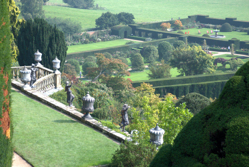
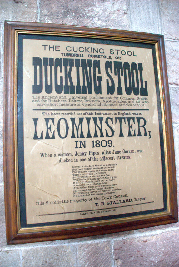
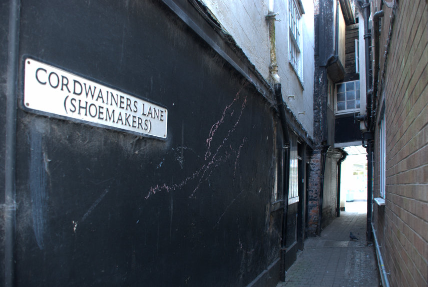
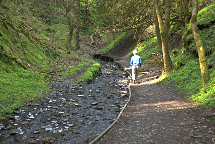
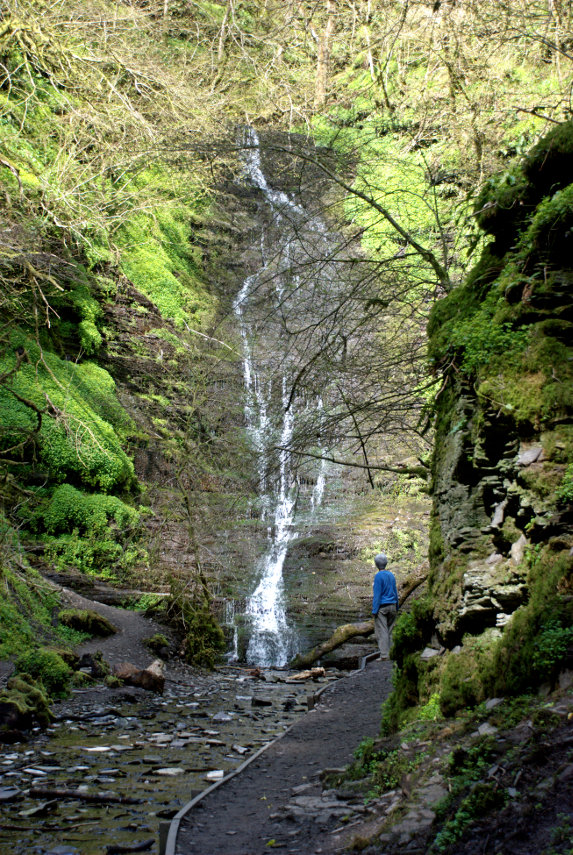
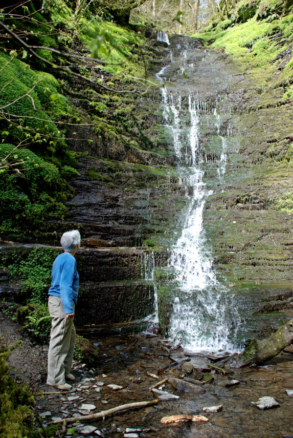
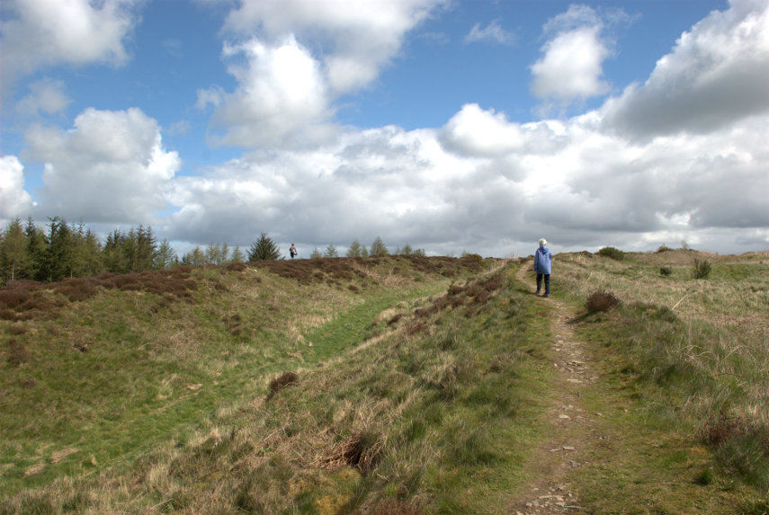
Keeping our trip on track
First of all we'll do the inevitable bit about the weather. About a week ago Thursday of this week was given as sunny but by the weekend it had changed to sunny intervals and on Wednesday it was going to be mostly cloudy. Thursday morning about 7:00 AM the forecast was still mostly cloudy but 30 minutes later it had changed to mostly sunny. That's british weather forecasting for you.
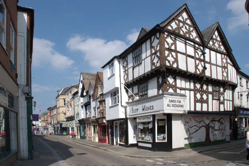
We decided to re-visit Welshpool and travel on the narrow gauge Welshpool & Llanfair Light Railway which first opened in 1903. I bought tickets online using my smartphone before we left and that was straightforward enough. It provided us with a PDF version of the ticket for two which I was able to show on the train. All very satisfactory.
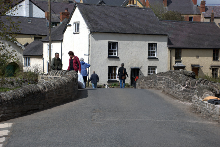
We arrived at Welshpool about an hour after we left home and parked in the station's free car park. The train had arrived a few minutes earlier and stays in the station for about 30 minutes so there was plenty of time.
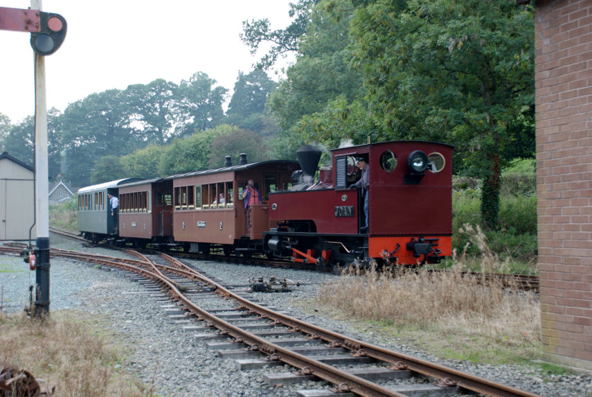
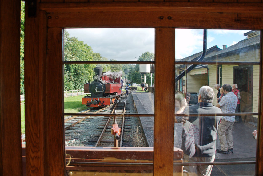
The trains start from Llanfair Caereinion, which is where the engine sheds are, and the locomotive runs in reverse as far as Welshpool. You can see what I mean if you look at the previous blog post. The locomotive then runs around the train to couple on to the other end when it will then be facing forwards. The locomotive is called 'Joan' and was built in 1927 by Kerr Stuart of Stoke-on-Trent which makes her just 9 years older than me. She is a lovely old lady.

The carriages are wooden with wooden seats and have a raised platform at each end, known as a balcony, with a door to the interior. This photograph was taken from inside looking through the window as the locomotive was starting its run around the train.
You can see in this next picure that our carriage has a partition across it about halfway along but another similar carriage did not have this partition.

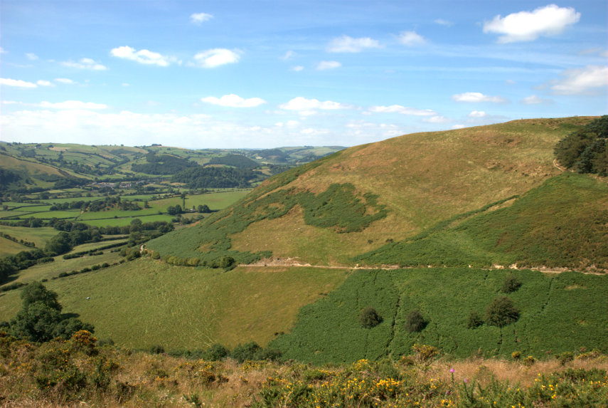
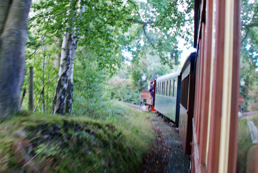
At 11:15 AM we set off and started climbing almost immediately. Looking out of a side window I was able to see the track ahead and the gradient was easily discernable. Much steeper than a 'normal' railway but then these narrow gauge railways were built to work in this type of countryside. The curves on the track are also much sharper than you'd normally expect and I was able to get this photograph, on one such curve, by leaning out of the window.
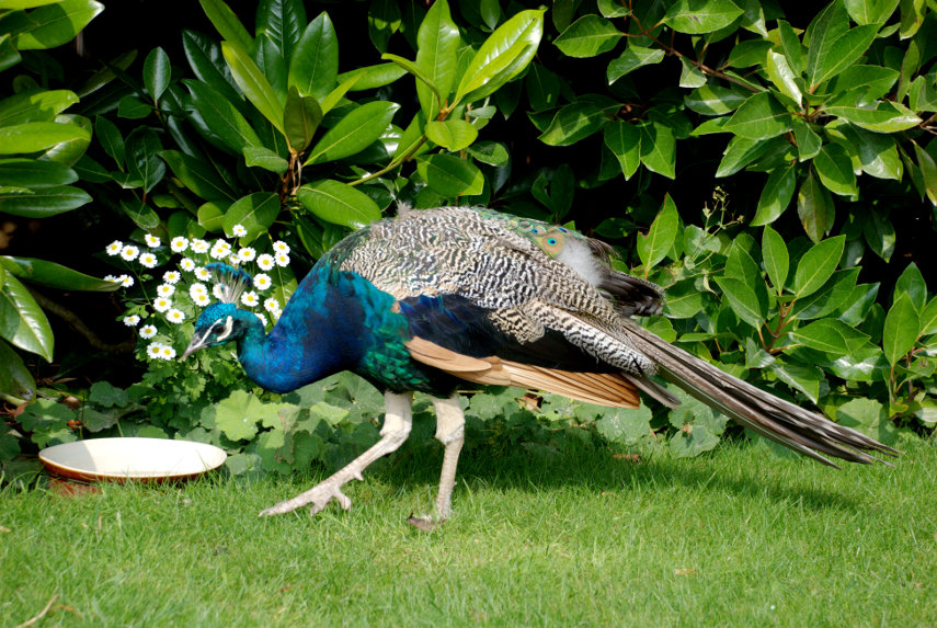
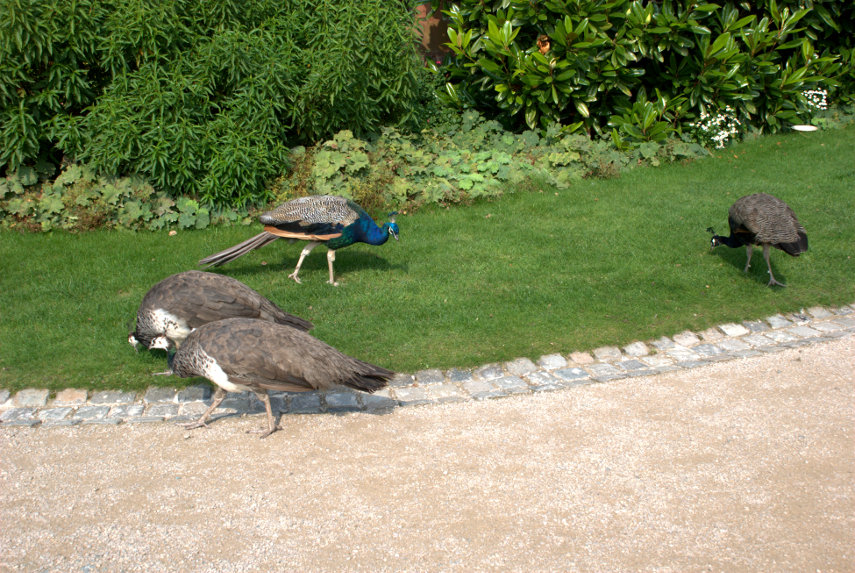
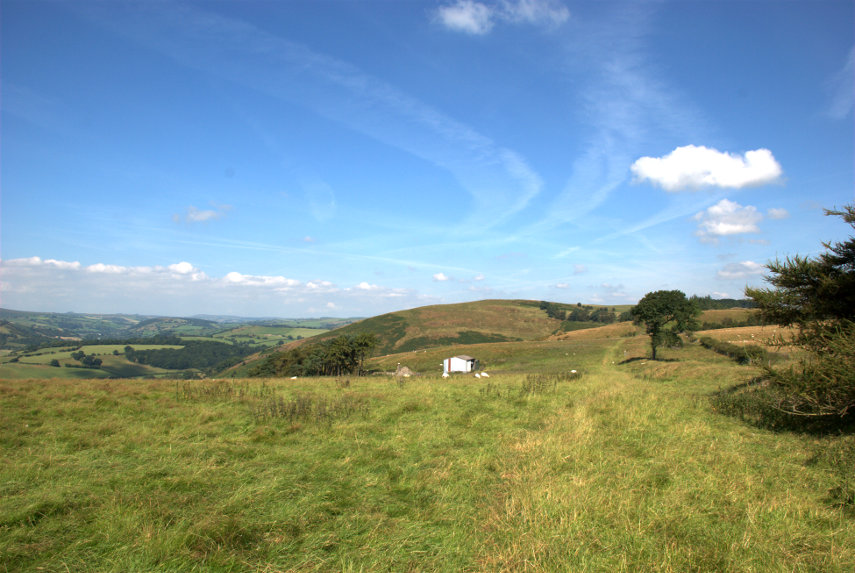
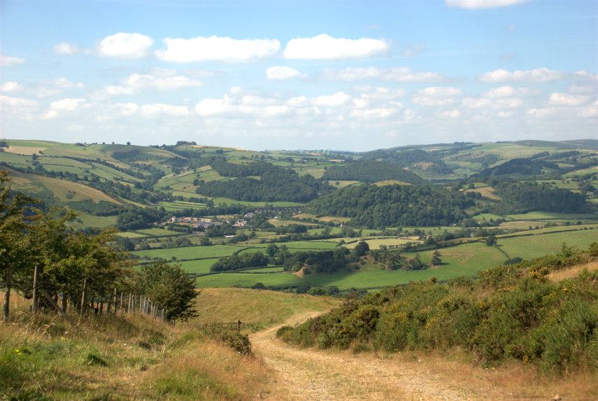
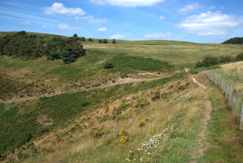
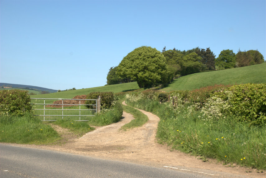
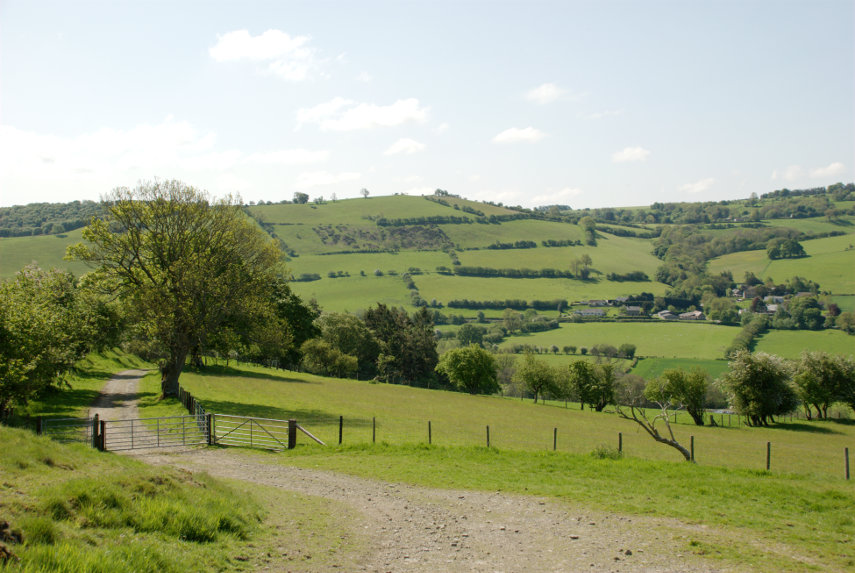
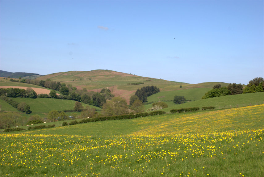
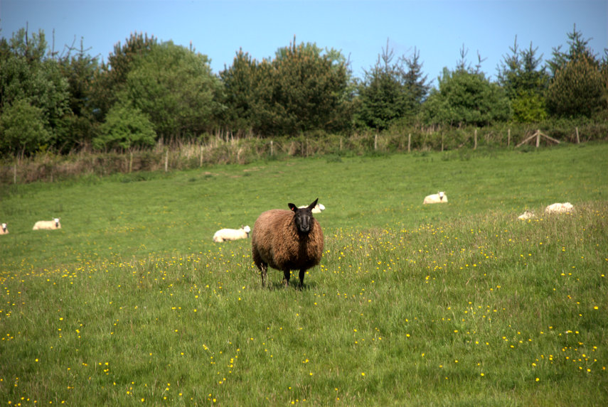
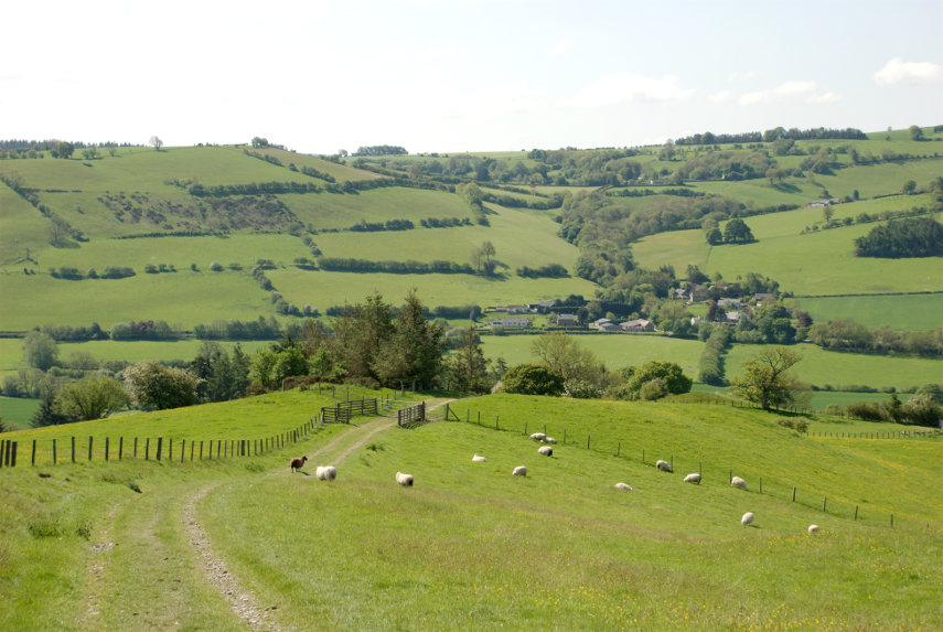
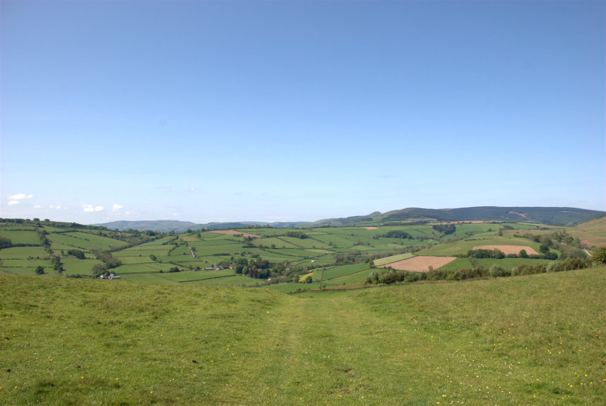
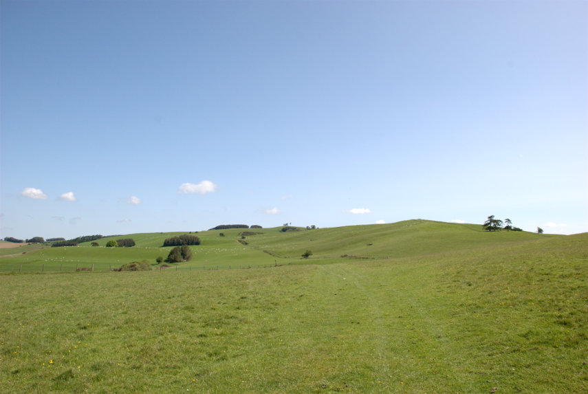
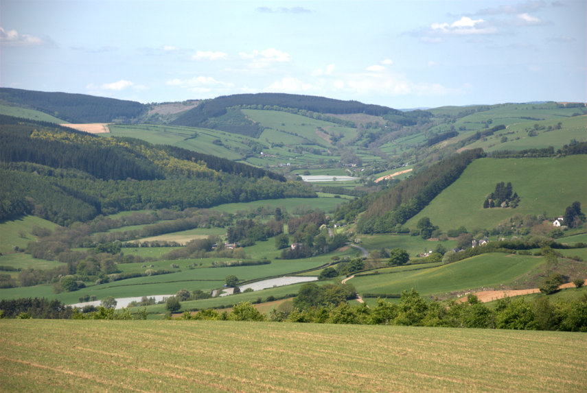
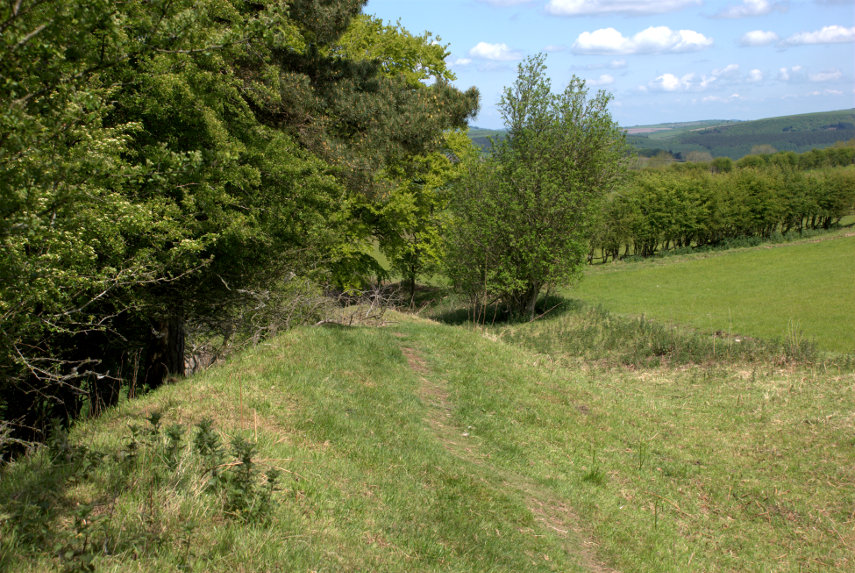
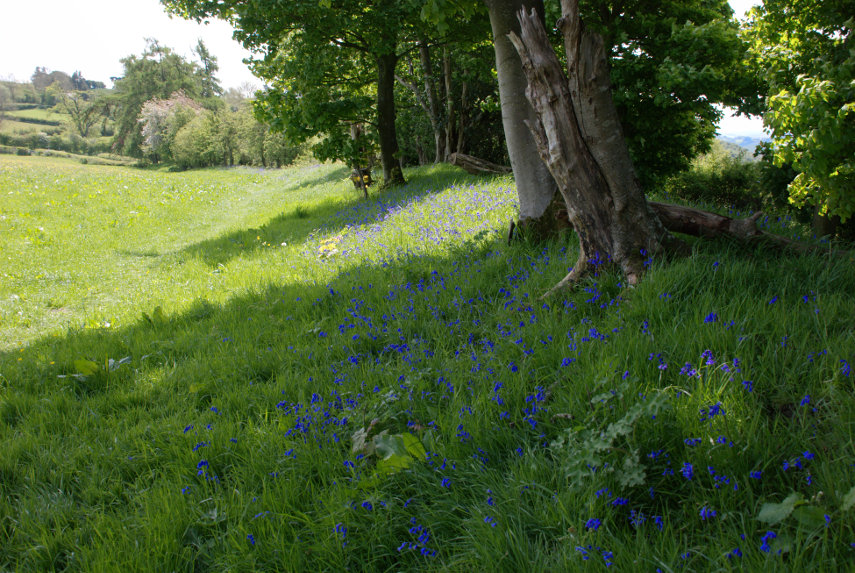
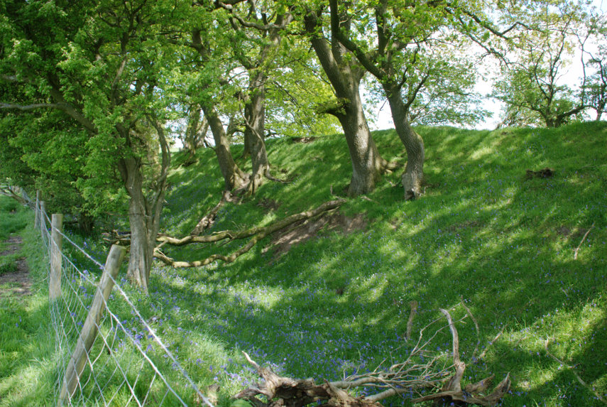
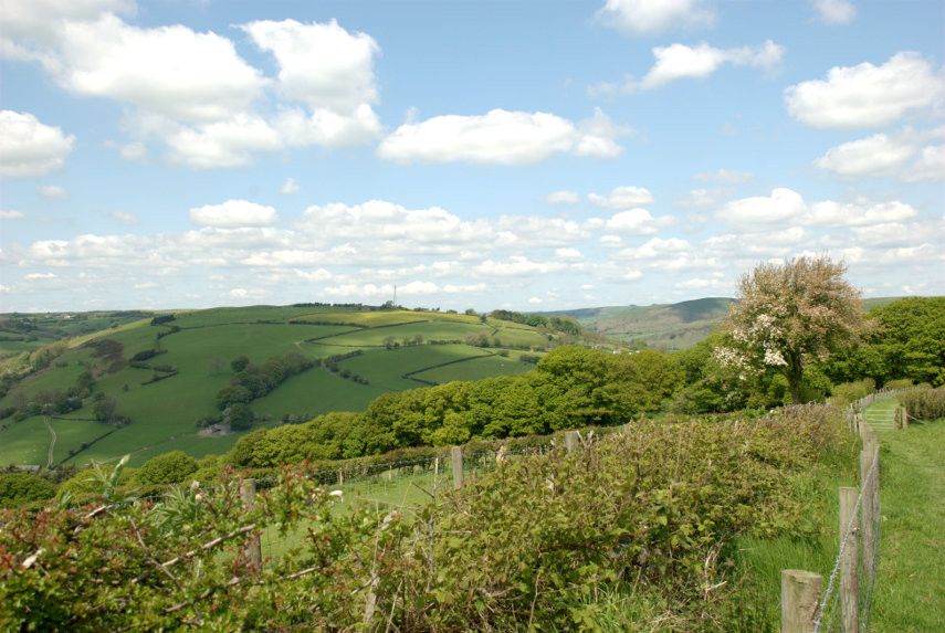
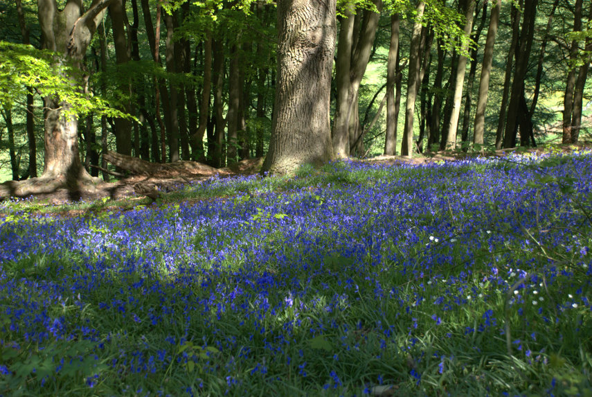
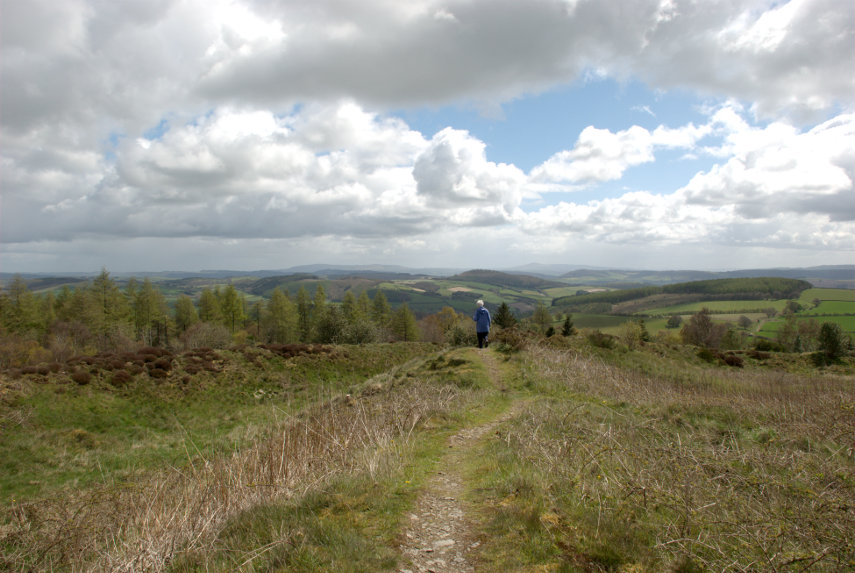
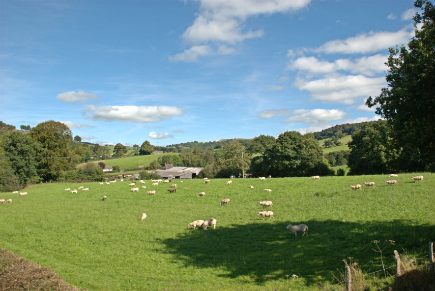
The train passes through a visual feast of welsh countryside views on its 8 mile journey. Some views include the inevitable sheep and we also saw a lot of pheasants.
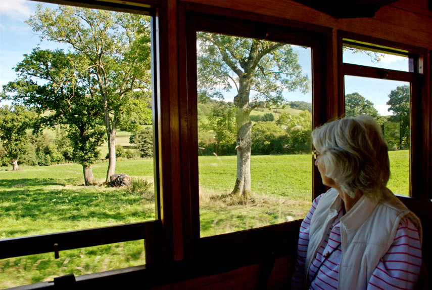
Amanda, who was sitting in the seat opposite mine, was far more interested in the countryside than she was in me. ![]()
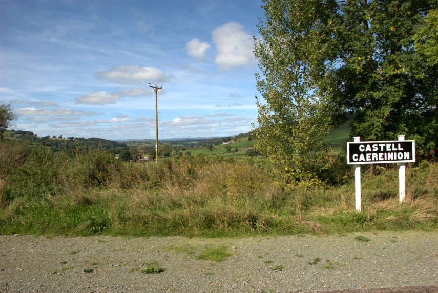
It took 45 minutes to arrive in Llanfair Caereinion Station and we were there by 12:00 midday.

They have a nice little tea shop at the station where we had a light lunch. I had carrot and coriander soup with a crusty roll and Amanda had a ham sandwich. We both had some coffee cake for our dessert. Yum!
We boarded the train once again, after lunch, for the journey back to Welshpool. This particular train stops here for an hour probably because it is around lunchtime and then sets off for Welshpool at 1:00 PM to arrive back at 1:45 PM.
I don't know what speed the train reaches but I would estimate that at times we were hurtling along at 20 MPH. ![]()
We enjoyed that little trip and will have to re-visit that railway again.