Browsed by
Tag: Churches

On the road to ruin.

On the road to ruin.

Travelling around the country, as we do, we expect to see both the usual and the unusual – but not together on the same site. This place is only an hours drive from home.

The earliest building on this site was a Jacobean brick built house. After the civil war it was sold and the new owner erected two towers on the north side of the house and his grandson added the wings which enclose the entrance courtyard. Later a new private chapel was added to the west of this courtyard.

Around 1805 the owners employed John Nash, a well known English architect, to carry out a major reconstruction of the house which included the addition of huge ionic porticoes to the north and south fronts.

In 1837 serious debt forced the sale of the estate to the 11th Baron Ward, later 1st Earl of Dudley, who had inherited a great fortune from the coal and iron industries in the Black Country.

In the 1850s, Baron Ward engaged the architect Samuel Daukes, who had already altered his London house to remodel the house in Italianate style using ashlar stone cladding over the existing red brickwork and this is the result – Witley Court near the village of Great Witley in Worcestershire..

What a very grand house it is with the very impressive fountain behind it.

However you may not have noticed something odd about the house in the first photograph. There is no glass in any of the windows and the sky is visible through some of the windows as seen in the picture below.

In 1920 Witley Court was sold to Sir Herbert Smith who maintained only a skeleton staff to manage the house whilst he and his family were away, and many areas were left unused. A major accidental fire broke out in September 1937 whilst Sir Herbert was at another of his houses and although it did not destroy the whole house the estate was sold as separate lots with the house being bought by scrap dealers who stripped what they could from the house leaving it an empty shell. So we have what appears to be the usual stately home but is, unusually, just a shell. A rather sad ending for such a grand house.

The ruin is currently managed by English Heritage.

The picture below is the main reception hall with the main staircase through the arch in the far wall.

The picture below is in the main stairwell and the angled plaster follows the line of the original staircase.

There are numerous decorative carvings around the building of which this doorway is an example.

This picture shows the main entrance to what was the Conservatory and the picture below it is the Conservatory interior.

The church is still attached to the main house but is not maintained by English Heritage as it is now the parish church.

But what a parish church. It was built in the mid 18th century and, at that time, the interior was rather plain. Just 10 years later stained glass windows and the oil on canvas paintings on a new curved ceiling were added together with  moulds for the wall and ceiling decorations and the organ.

What an astonishing result! If you are ever in this area don’t miss seeing the church interior.

From Iron to Copper – Day 1

From Iron to Copper – Day 1

Day 1

Monday morning. Sunny. Leap into car. Drive north like a bat out of hell to try to get to the first destination before the sun goes in. We just make it. Cloud has started to appear but there is still plenty of sunshine.
We started this trip, after driving north for an hour and a half, with these early 18th century wrought iron gates at Chirk Castle which we thought were very impressive. They must have been very expensive to make but, I suppose, if you can afford a home like Chirk Castle then a couple of gates wouldn't make much of a dent in the family fortune.

Visitors cannot get in this way but we had to stop and have a look before we went in the visitors normal entrance.

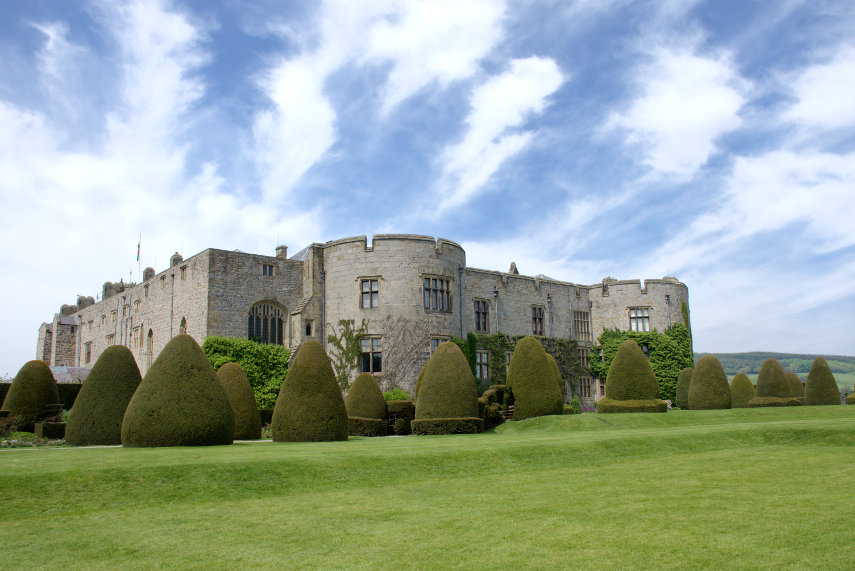
Chirk Castle is near the town of Chirk (no surprises there then) which is halfway between Oswestry and Wrexham. The castle is now owned by the National Trust and when approaching from the car park the castle looks pretty impressive.

Chirk Castle is similar to Beaumaris Castle which suggests that building work may have started as late as 1295 and was completed in 1310. It has over 700 years of history being the last castle from this period still lived in today.

Now this is what you call an entrance. This very imposing arch leads into the courtyard in the centre of the castle.

This courtyard is enclosed on four sides and, as you may deduce, refreshments may be obtained here. That Wisteria on the left-hand wall is a sight to behold.

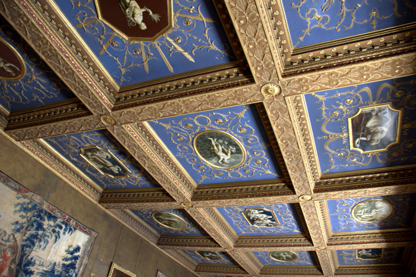
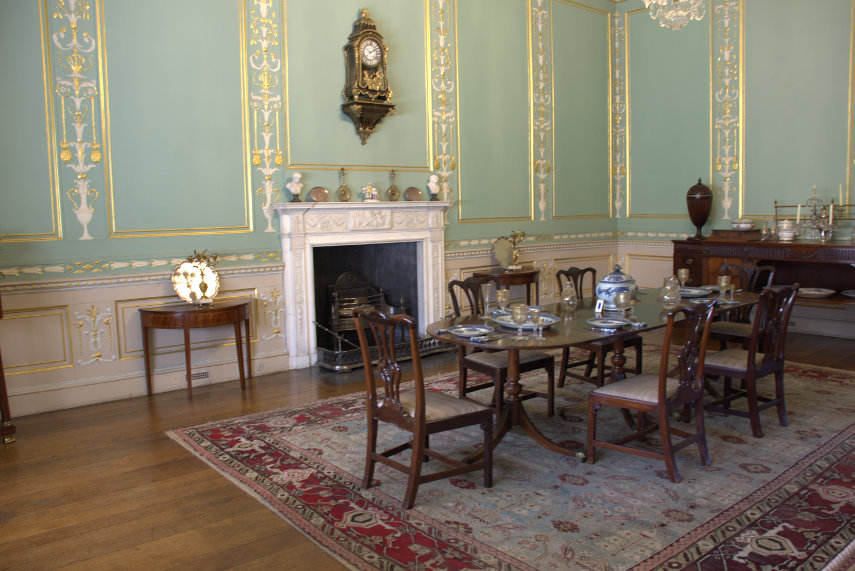
The interior has had extensive modifications over the centuries and it is now nothing like the medieval fortress it used to be leaving it as a very comfortable home. We could tolerate that. These are some of the rooms.

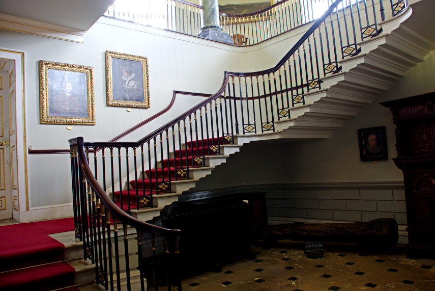
The staircase is relatively small but rather attractive as is the upper landing.

Coming out of the castle we are confronted with this view. One can see why the castle was built here.

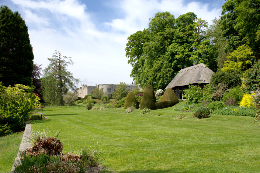
Then we went into the garden and what a garden! There were plenty of Rhododendrons in bloom, which certainly helped to add a lot of colour, but there were plenty of other flowers and plants too.

We rather liked the little thatched summer house.

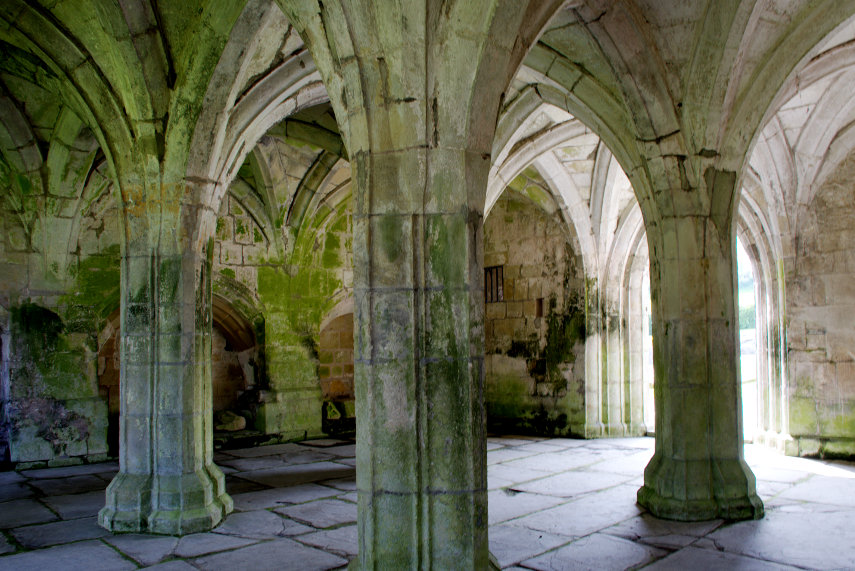
Having seen just about everything at Chirk Castle we continued our journey to Valle Crucis Abbey just a little north of Llangollen . The abbey ruins are managed by Cadw ( the welsh equivalent of English Heritage). The abbey was built in 1201 and was dissolved in 1537 during the Dissolution of the Monasteries.

It is an impressive ruin although it has to be said that these welsh and english abbey ruins are very much alike. However we did enjoy looking around and it is one of the best preserved abbeys in Wales.


We took our leave of the abbey ruins and continued our journey to our final destination.

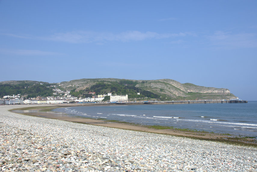
After driving for a total of 2 hours 30 minutes (that's from home to here) we arrived at Llandudno on the north coast of Wales, which is where we were staying, and this is our hotel on the sea front.

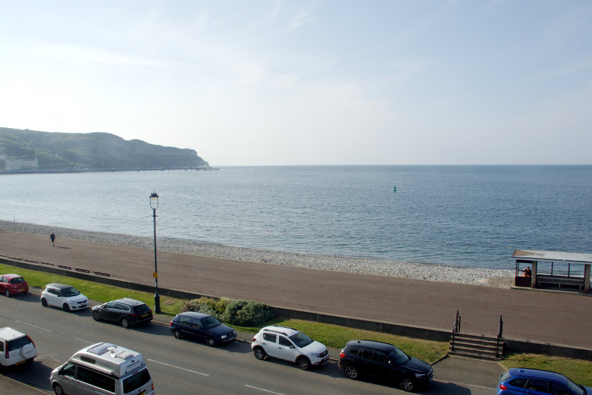
The picture below is the view from the seaward side of the road outside our hotel,  that limestone lump on the skyline is the Great Orme,

and this is the view out of our bedrooom window – can't be bad.

We did have a mostly sunny day after all but it is now time for dinner and then to bed to be ready for whatever tomorrow brings – I have my folding umbrella to hand.

Castle to Canal

Castle to Canal

Who’s a silly boy then? We did this trip at the end of July and I duly wrote it up and I thought that I had posted it on the Blog – but no, I had forgotten that important bit. As you can see I have rectified that mistake and here it is in all its glory! (Well it’s only 3 months late).

————————————————————————————————————————————-

Monday 24th July 2017

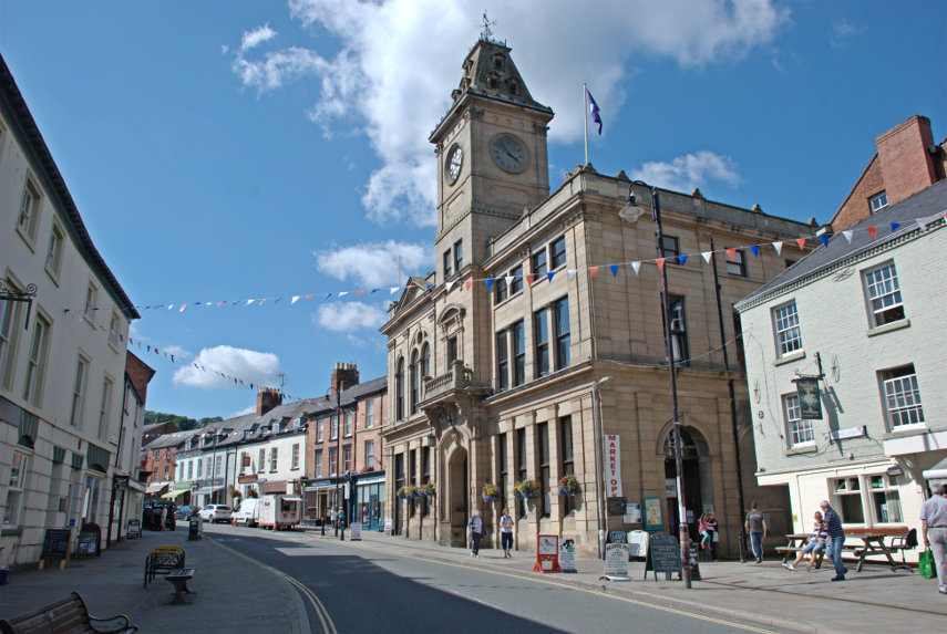
The weather was borderline and unsettled but we decided to risk it. Approximately 25 miles from home is the town of Montgomery which, although the county town of Mongomeryshire, is really quite small but thoroughly delightful.

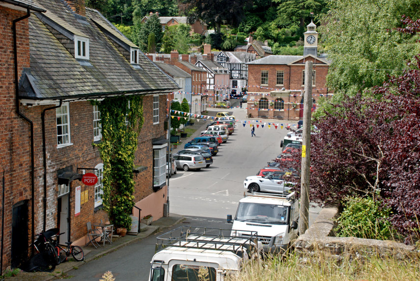
This is the town centre; virtually all of it. The view is from the churchyard and where the building on the left stops is the main road. On the other side of the main road is Broad Street, where the cars are parked, and the brick building at the back is the Town Hall

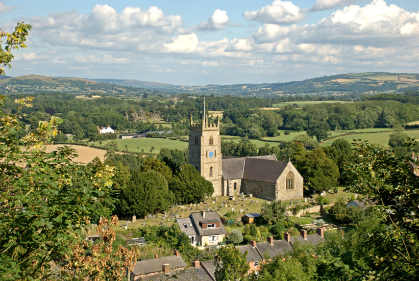
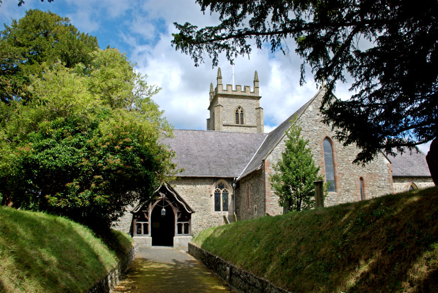
The church is quite imposing and sitting on a knoll makes it more so.

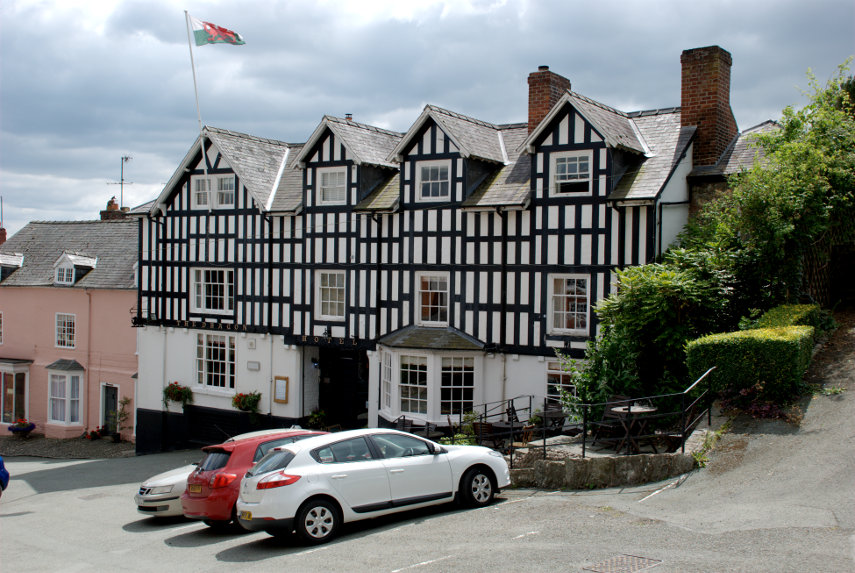
Up near the top of Broad Street is the Dragon Hotel a rather striking 17th century former coaching inn.

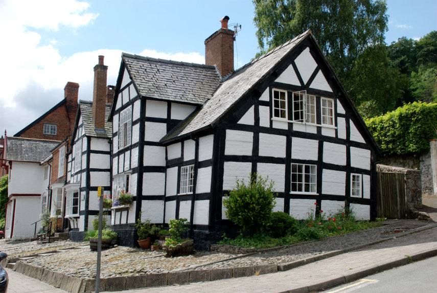
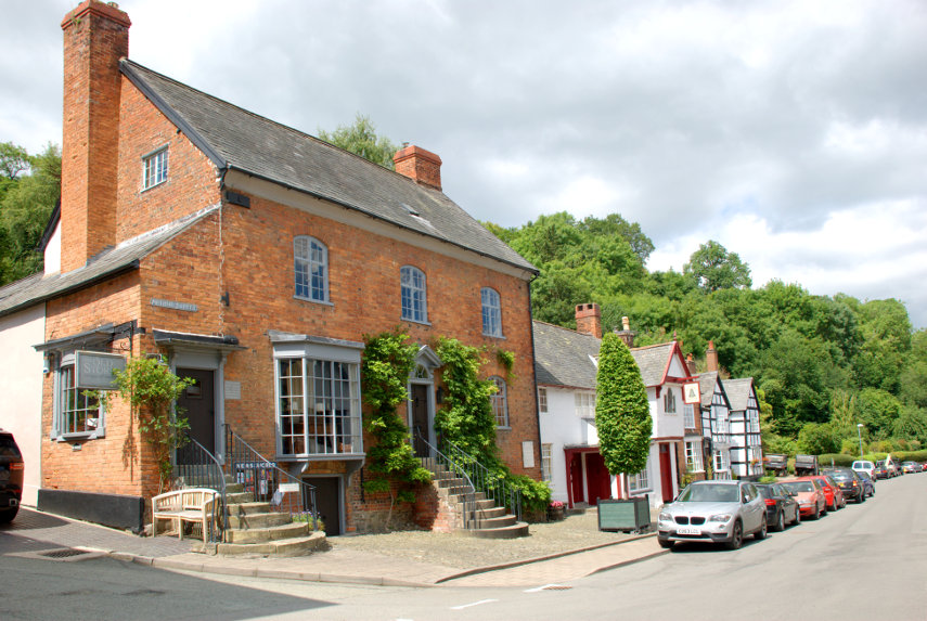
There are some interesting ancient buildings in Arthur Street which runs north from the top of Broad Street.

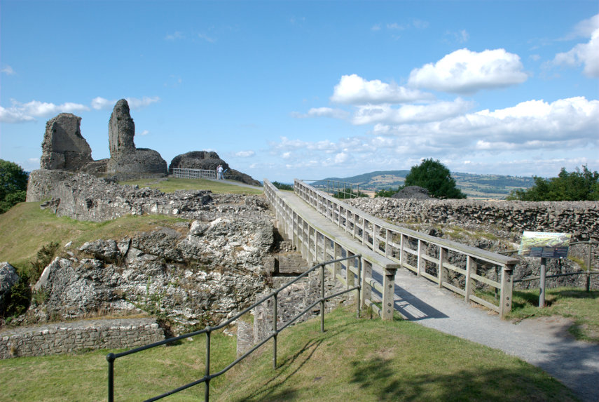
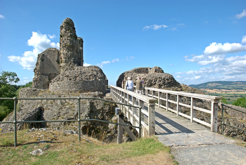
There is a little lane running steeply uphill from near the Dragon Hotel and when you have puffed your way to the top end you will arrive at Montgomery Castle or, at least, what’s left of it. There is not a lot left but what there is remaining is impressive.

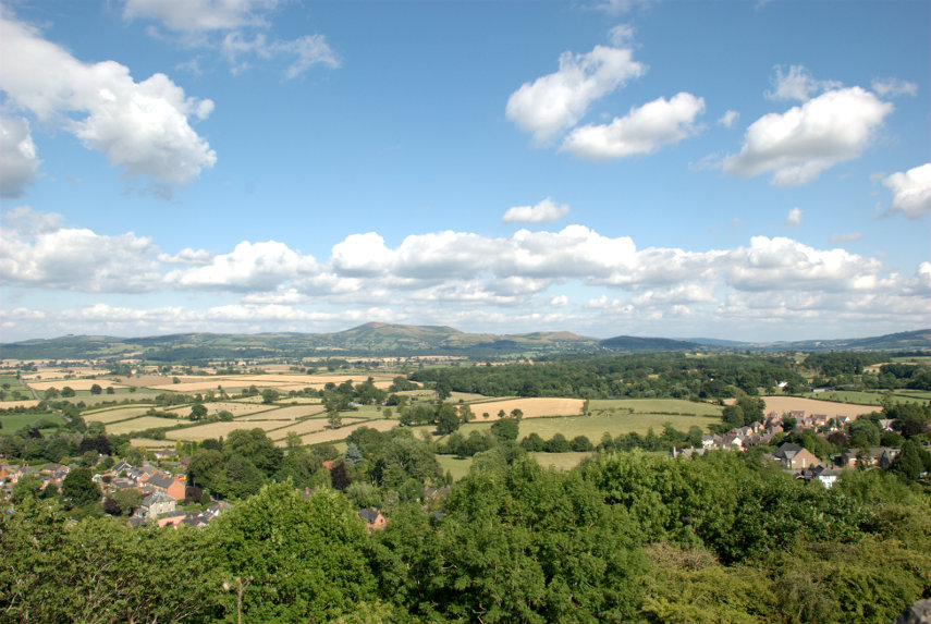
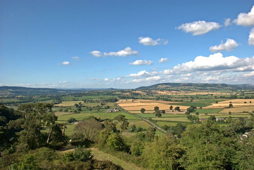
The views from the castle are also impressive and it shows what a good defensive position it was.

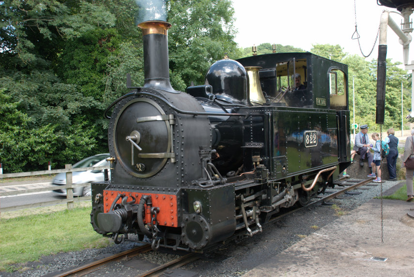
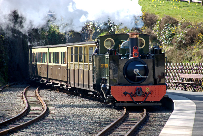
We left Montgomery and headed further north to Welshpool. We have been here before, once for Powis Castle and another visit to ride on the little Welshpool narrow gauge railway but we hadn’t actually looked round the town itself. However, before we do that, we had to have another quick look at the railway and discovered a locomotive that we hadn’t seen before waitng in the station. This locomotive looked slightly smaller than the one we’d seen here previously.

We then went on to the Montgomery Canal on the otherside of Welshpool. If you look at the following link it will show a map of Welshpool that gives an idea of where these various places are. Powis Castle in the bottom left corner, Welshpool and Llanfair Light Railway middle left and the Montgomery Canal roughly in the middle. Don’t confuse it with the river further right which is very wiggley; the canal runs further left.

http://www.streetmap.co.uk/map.srf?X=322510&Y=307508&A=Y&Z=120

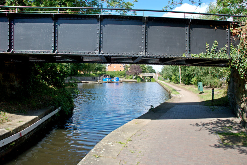
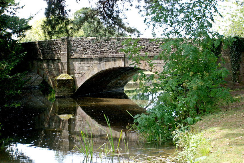
We walked across the bridge and came down to the canal at this point.

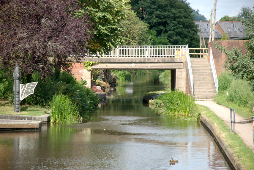
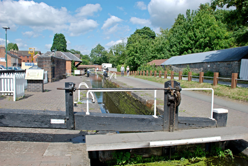
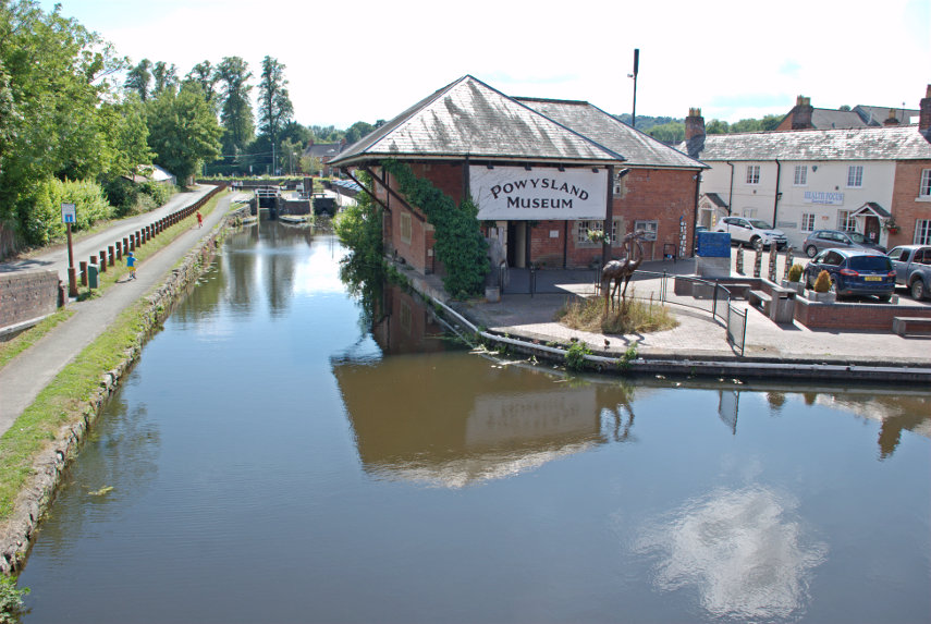
There was a further bridge or two before we arrived at the lock outside the Powysland Museum (second picture).

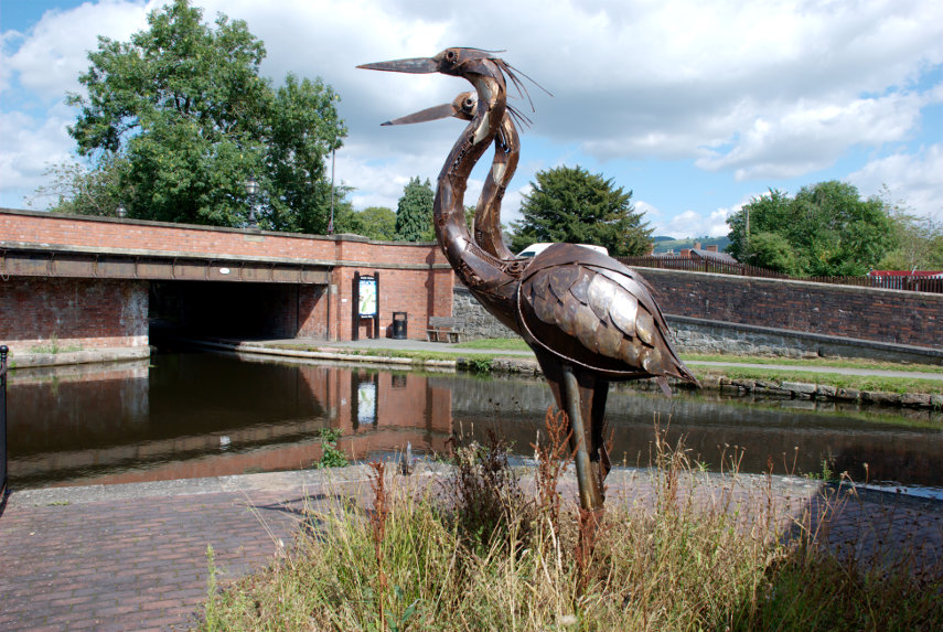
We went across the canal to the Powysland Museum. Next to the canal you may be able to make out the two metal sculptures of Herons on the bank with a close-up in the second picture.

I took the picture above from on the bridge shown in the picture below.

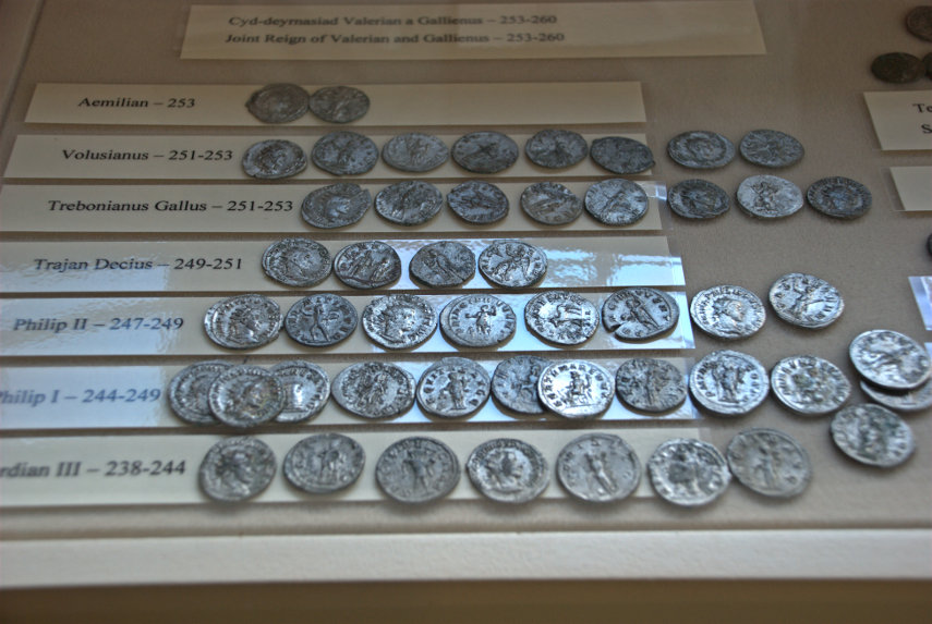
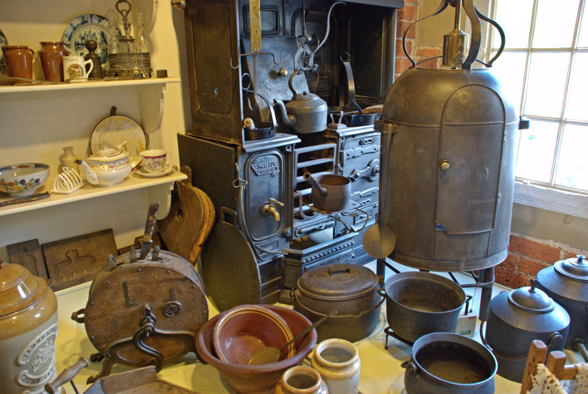
Inside the museum are a variety of interesting artifacts ranging from a stash of ancient roman coins to old kitchen equipment.

A final view of the Town Hall in High Street and we decided to call it a day.

Black and White Villages and an Arrow – Part 2.

Black and White Villages and an Arrow – Part 2.

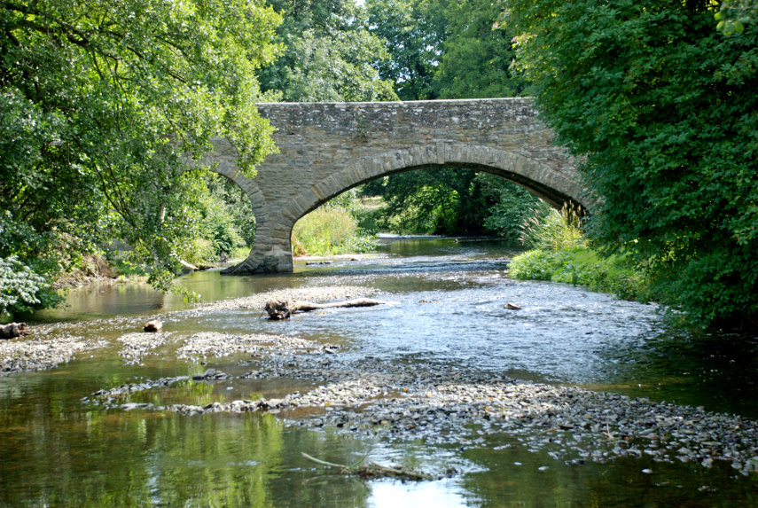
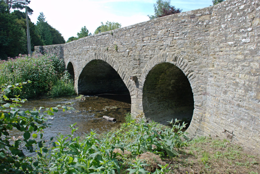
We drove the 2.5 miles from Pembridge to Eardisland and, as in Pembridge, we crossed the River Arrow again although, this time, it was on the far side of the village for us. The bridge dates from around 1800.

Once again there is a free visitors car park on the main road through the village almost opposite the Dovecote and there were plenty of spaces but, unlike Pembridge, no public toilets. The Dovecote, dating from the late 17th/early 18th century is shown below and is open to the public. It functions as an information and exhibition centre for the village offering interesting historical displays and information on the area alongside a shop selling local produce. There is no entry charge.

Moving to the right of the Dovecote we can see the side of the Manor House with a front view below.

The Manor House dates from the 17th century with what appears to a a geogian extension added to the front. Turning to our left, away from the side view of the Manor House, we look back past the Dovecote towards another road bridge.

If we go into the Dovecote we see at the back of the interior a small staircase and going to the bottom of the stairs and looking up will show a small part of what we could see if we went upstairs.

Arriving upstairs we can see the whole point of the place; a huge number of nesting places for the doves and I understand that they numbered well over 600 although there are no doves there now.

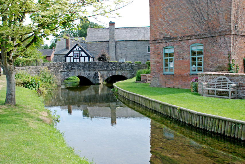
Amanda is trying to asses, from the depth of water, what would happen if she fell in. In the background is the 17th century Millstream Cottage and the water is, naturally enough, the mill stream.

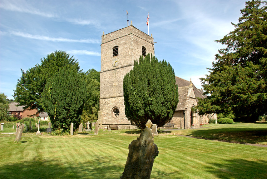
Dating from the early 13th century is the Church of St Mary the Virgin. Some parts such as the Chancel and South Porch were built in the 14th century. The original Tower, of probable 15th Century origin, collapsed in 1728 and was replaced by the present one in 1760. The whole church was restored in 1864.

Eardisland turned out to be very pretty little village and well worth a visit. Unlike the church we haven't been restored so we will now have to return home for a rest.


Black & White Villages and an Arrow – Part 1.

Black & White Villages and an Arrow – Part 1.

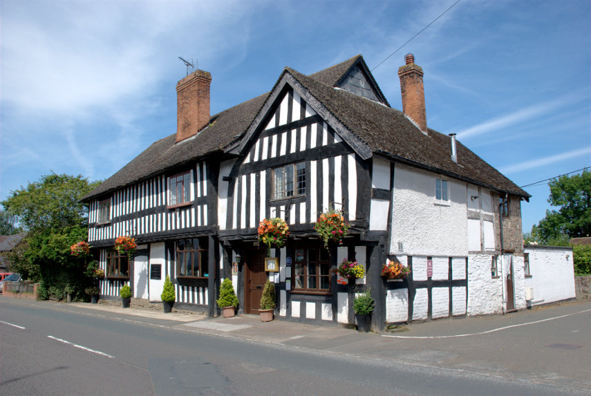
There is an area in Herefordshire known as the Black and White Villages and there is also a Black and White Villages Trail which is meant for motoring not walking. We last visited about 12 years ago on a day trip from Ludlow and the results from that are already on the web site. That previous visit was before the blog was started so there is no blog entry for it. This time it was a 30 minute drive from home so we were able to have a much more leisurely look round especially as we were re-visiting only two of the villages.

Both villages, Pembridge and Eardisland, are situated on the River Arrow.

Part 1.

We started in Pembridge and we had to cross the River Arrow to get into the village and this is the bridge we used. It is not very old having been built in the 19th century but is attractive nevertheless.

There is a small, free, car park with access down the roadway next to the King's House in East Street and there was plenty of room. There is a small sign, easily missed, pointing to it from the main road and there are also public toilets in the car park which had disabled facilities and were nice and clean.

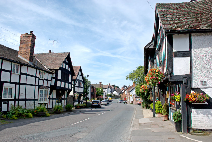
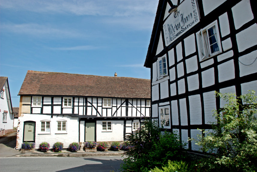
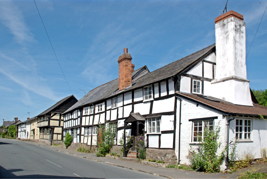
The entrance to the public car park can be seen on the right. The King's House is a restaurant, not open on a Monday when we were there of course, and dates from the 15th century. This building is a sign of things to come. This next picture is in East Street looking towards West Street and showing the front corner of the King's House on the right. You should be able to see a number of black & white timber-framed buildings.

I think we'll need to do a bit of exploring don't you?

How's that for a start? The building on the right is the New Inn so called because it was new when it was built in the 17th century. Can you think of a better reason?

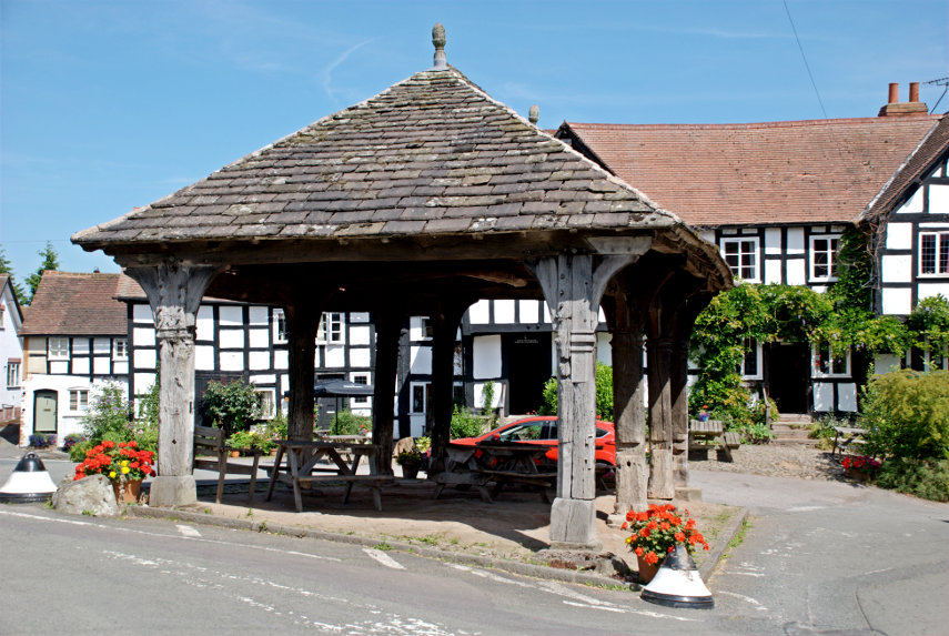
A market charter was granted to Pembridge in 1239 and just behind the New Inn is the early 16th century Market Hall.

Standing in the Market Square it doesn't look like a hall as it isn't enclosed but that's because the upper storey was removed at an unknown date. Pity really as it would have looked pretty impressive with an upper storey.

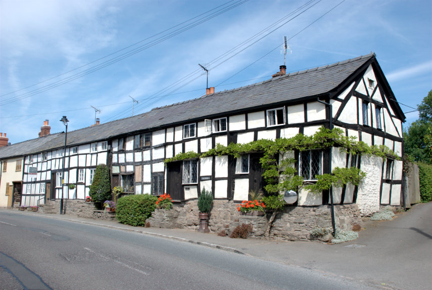
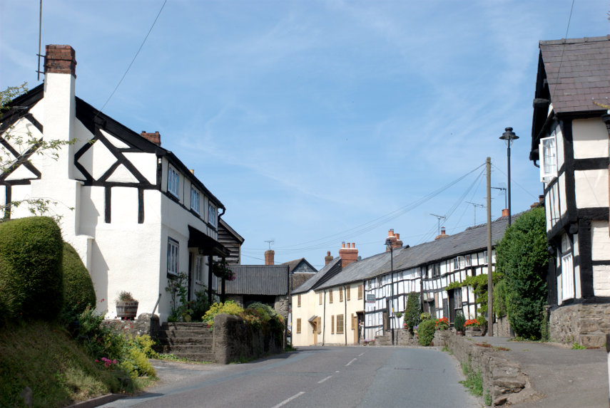
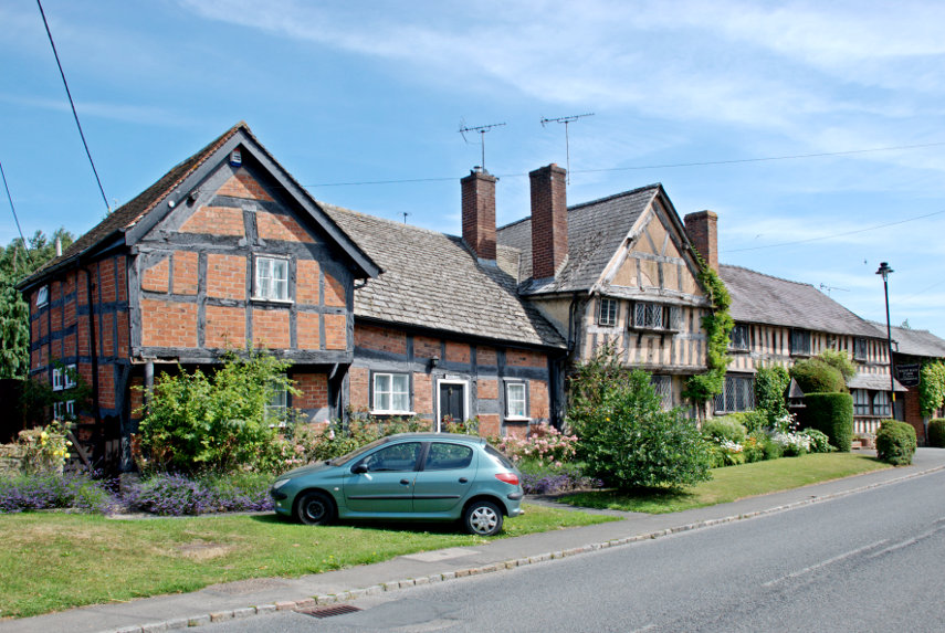
Although these villages are known as the black and white villages, with good reason, not all of the buildings are black and white. This next picture shows a row of black and white buildings broken by one cream washed, jettied building.

The picture above shows a timber-framed building with red brick infill and the one to its right, an early 15th century hall house known as West End Farm, has a pinkish cream wash on the walls. This was one of the earliest domestic buildings in Pembridge. The multitude of other timber-framed buildings in Pembridge date to the 15th century.

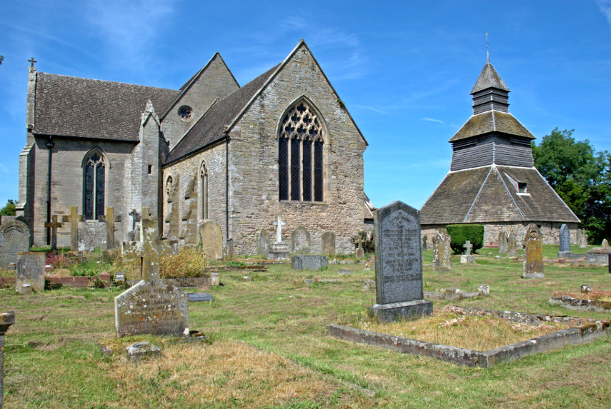
The church here is also unusual in that it has a separate bell tower which dates from the 13th century. The current church dates from the 13th century with alterations in the 14th century century.

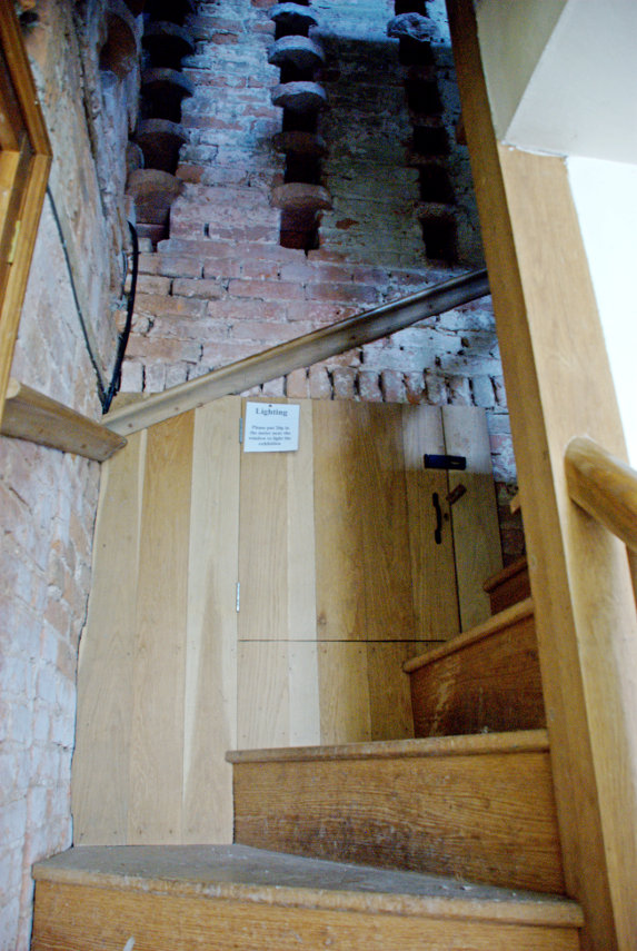
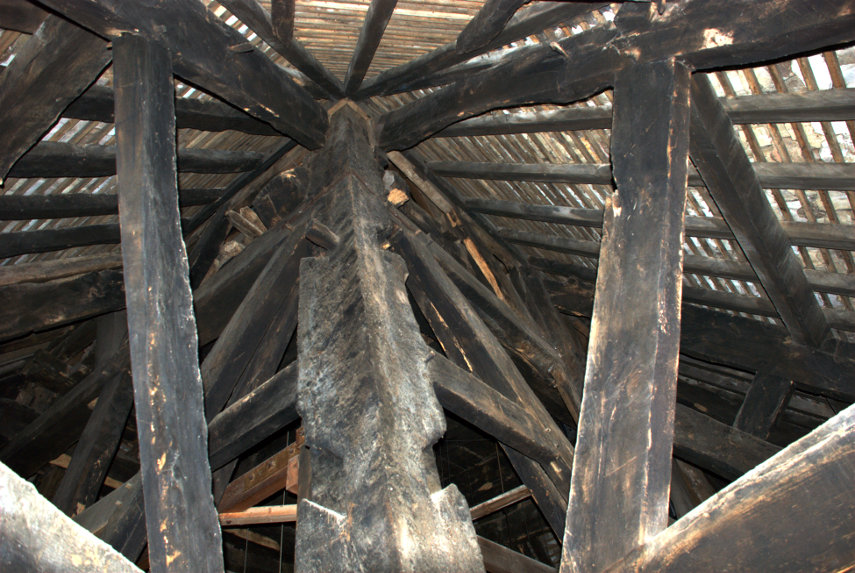
The bell tower has to be seen to be believed. The main timbers are enormous and from the look of them they are whole trees squared off.

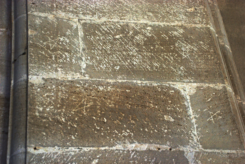
The church also has some very interesting interior features. There are mason's marks in the picture below – can you spot them?

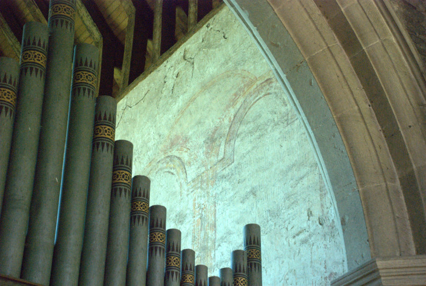
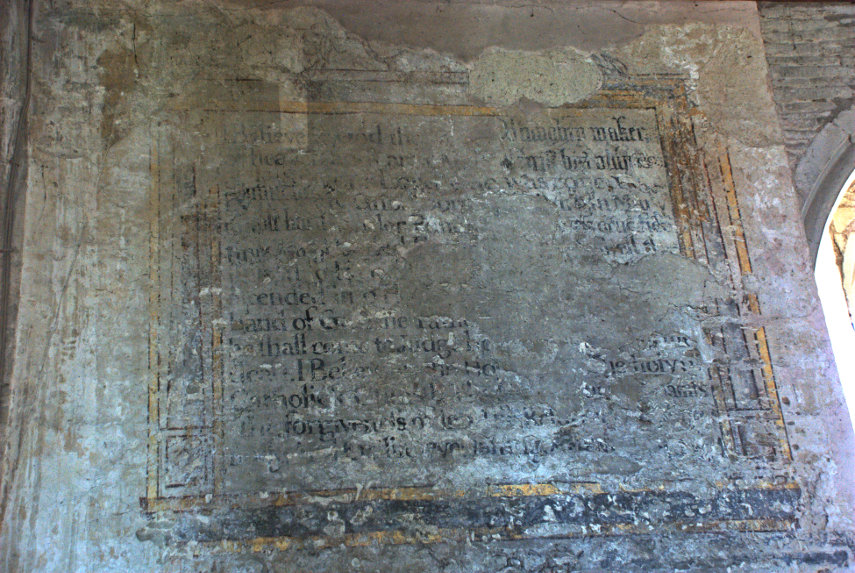
There are also some medievel wall paintings. One on the wall behind the organ and one on the wall of the nave. Not in the best of condition but they are visible in spite of being around 600 years old.

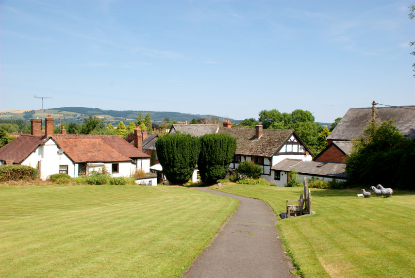
Just outside the church door is a delightful view across the churchyard to the village and the hills beyond.

That is the end of part one covering Pembridge. Part two will be Eardisland.


March through the Arch

March through the Arch

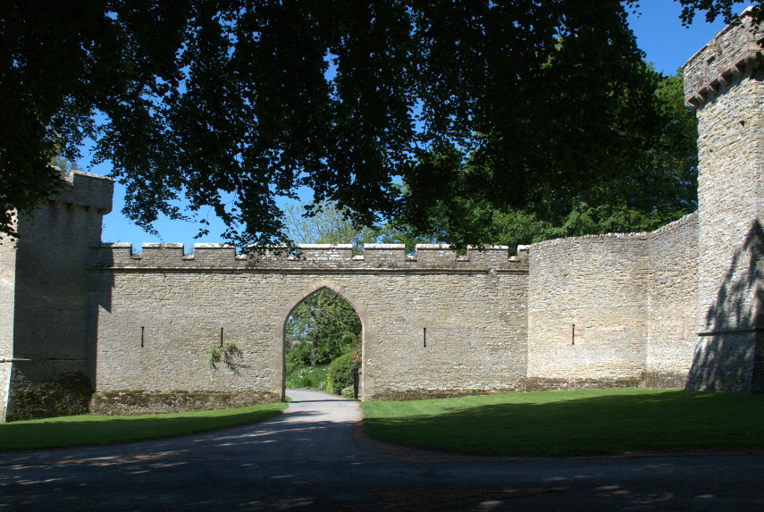
This is the arch that we are about to march through.

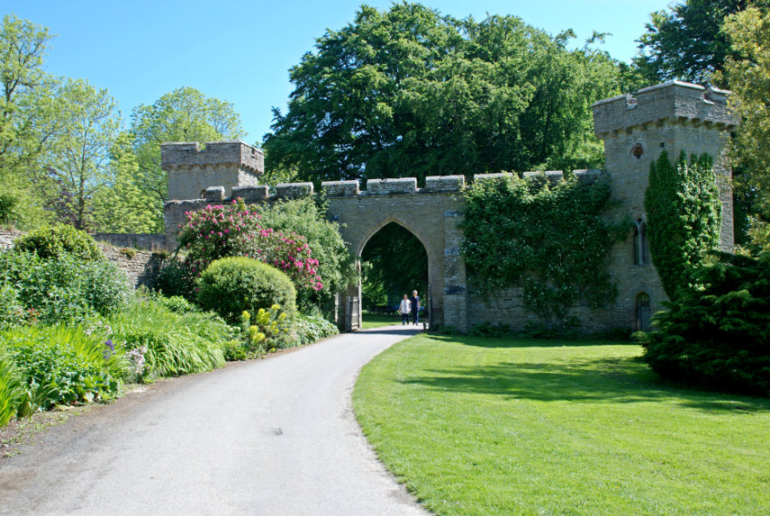
It was a lovely day and this is only a 40 minute drive from home so, having parked the car, here we are. We march through the arch and after a short while we turn and look back at the arch from the inside.

There's a nice flower border alongside the path and we can see that the arch is nothing more than a gateway in a wall between two towers. Admittedly the wall and towers have battlements; so is it a castle? Well, yes and no.

A little further along the path and we stop to admire this Laburnham tree and we notice some buildings ahead.

A little further along the path we round a bend and here we are.

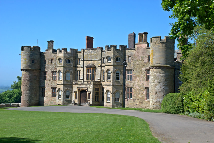
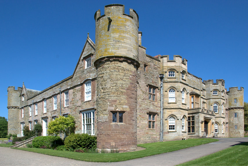
This is Croft Castle near the village of Yarpole in Herefordshire. It may have 'castle' in its name but it's no longer a castle but a country mansion in the style of a castle. A castle was built on this site by the Croft family in the 11th centuiry but it has been considerably altered since. The outside walls date from the 15th century and there are four round towers at each corner which, although castle-like, are too slender to act as defensive structures. It is now owned by the National Trust.

There are 1500 acres of parkland. That is quite a lot of land and we didn't have time to explore it but we can always go back.

Next to the house is the Chapel of St. Michael, dating from the 13th century, which contains the tomb of Richard Croft[6] and his wife Eleanor .

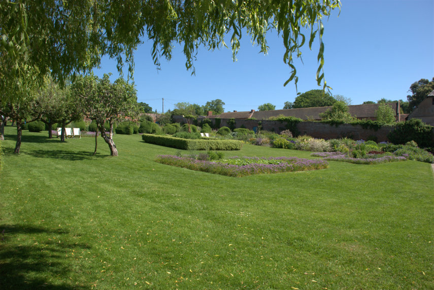
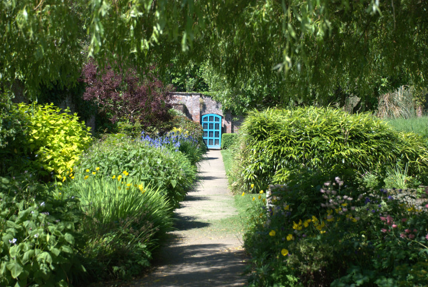
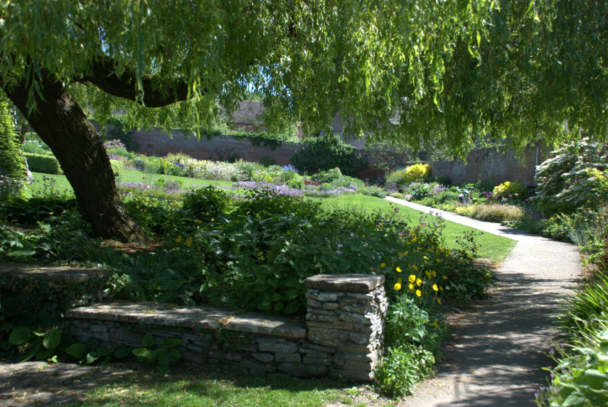
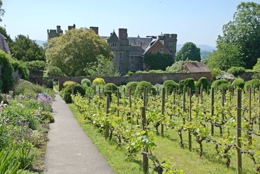
We wandered round the outside until we were almost back where we started and then discovered the walled garden. It's not really that obvious and it would be a great loss to have missed it. For a walled garden it is huge. We can't remember the exact size but it must be around four acres. How something that size can feel tucked away I don't know; but it does.

There is topiary.

There is also a very large greenhouse.

And not content with those features there is a small vineyard.

An astonishing walled garden but now it's time to have a look inside methinks.

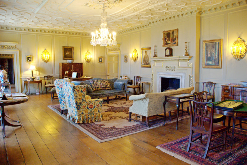
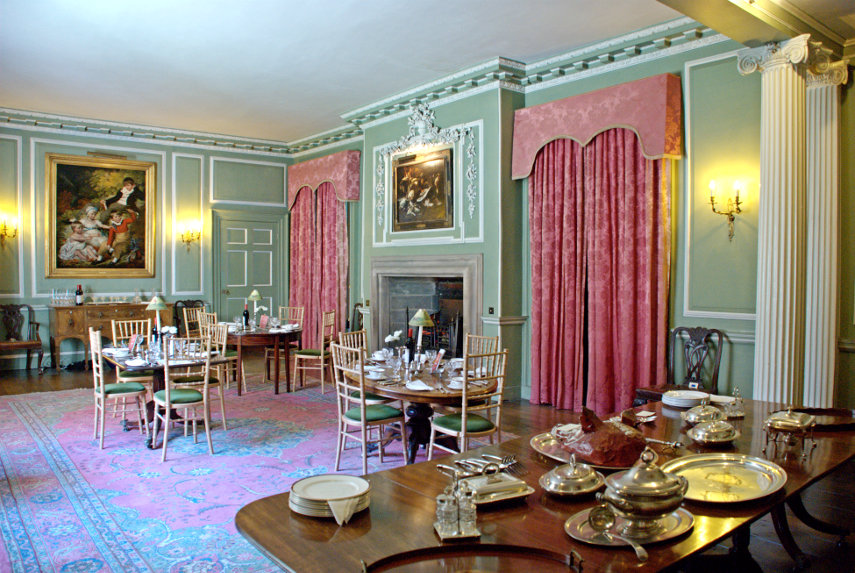
These are three of the main rooms.

I particularly liked this table where the top is comprised of pebbles sliced through and polished. Very geological and very attractive. I want one.

We really enjoyed that trip and will probably go again.

Reservoirs, Roads and Rails

Reservoirs, Roads and Rails

The online weather forecast for today was chilly and cloudy up to about 5:00 PM when we would have some sunny intervals for a couple of hours then back to cloudy for the rest of the day. Knowing how completely wrong the online forecasts had been over the past two or three days we decided to go out for the day.

We set off about 9:30 AM and followed a route we had used a number of times already which led us west to Crossgates where we would turn left for Llandrindod Wells but this time we went straight on towards Rhayader (pronounced 'raider') and as we were heading for Rhayader the sun started to break through. cool

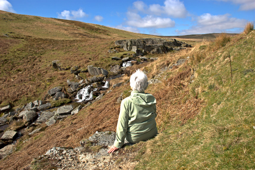
When we reached Rhayader we wanted to continue west but there was a slight problem although perhaps I should describe it as a mountainous problem. Between us and where we wanted to go were the Cambrian Mountains; a large wild and mountainous area with few roads and some of those roads stopped part the way across. However we were lucky that there was one road going in the direction we wanted which went up, over and down the other side. So we left Rhayader and started up, and up, and up. This is part of that road not long after we'd left Rhayader.

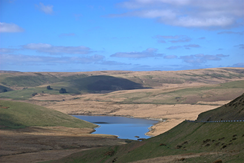
We stopped by a stream to look at the view and a little further along we stopped again to look at the Craig Goch Reservoir in the Elan Valley (second picture below). Had we turned off onto the road along the Elan Valley, which we didn't, we would have found six large reservoirs. Perhaps we will have to do that one day.
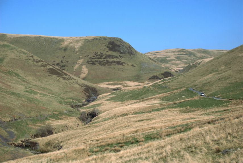
We traversed these uplands on a road that was often not wide enough for two vehicles to pass, although there were plenty of passing places, and many sharp blind bends. There were also places where there were very steep slopes next to the road and no guard rails. We did, eventually, reach the other side of the uplands and started to go down. This was the view from the top looking down through the pass that we were about to go through. One thing that is noticeable about this area is that there are no trees.

We did make it to the bottom and then onwards to Pontrhydfendigaid (I suggest we pause for a short time whilst you untie your tongue). The name apparently means 'the bridge of the blessed ford'. We turned out of Pontrhydfendigaid and soon found ourselves at Strata Florida Abbey, which was our destination, after a journey of 2 hours. This ruin is owned and maintained by CADW – the welsh equivalent of English Heritage. The name Strata Florida is a corruption of the Welsh Ystrad Fflur, meaning Valley of (the river of) Flowers.

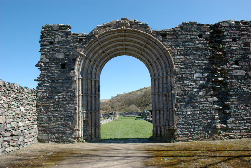
This gateway is the highest part of what is left. The abbey does have a wonderful backdrop as you can see in the second picture below.

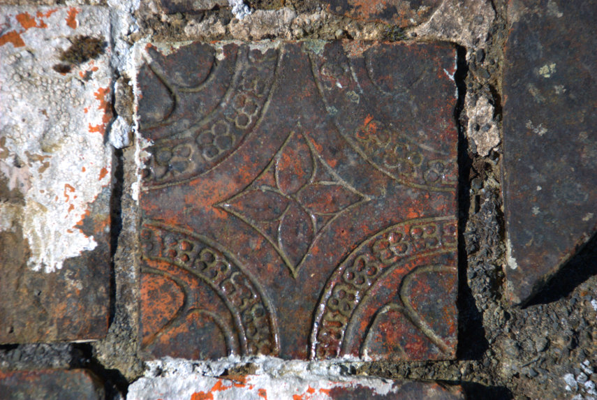
There is also a large area of medeival tiles dating from the 14th century which makes them around 700 years old. Is your bathroom going to last that long?

Strata Florida Abbey is interesting but it is not worth making a special (long) journey for simply because there is really not that much to see but if you are in the area or passing through then it is worth stopping off. I doubt that we spent an hour there before continuing to our next destination further north – Devil's Bridge.

Devil's Bridge is actually three stacked bridges as each time that a new bridge has been built to replace the old bridge the new bridge has been built above the previous bridge. There is an old tale that the first bridge was built by the Devil but actually it is probable that it was built by the monks of Strata Florida Abbey. The original bridge is thought to have been built between 1075 – 1200. The bridge is at a point where the River Mynach drops 300 feet in five steps down a steep and narrow ravine.

The next photograph was taken from the newest bridge looking down into the ravine. It is possible, on payment of a small fee, to climb down into the ravine via the steps seen in the picture. We didn't have time to do that on this trip but we do intend to come back.

Th other ting we came to see was the Vale of Rheidol Railway which runs from Aberystwith, on the west coast, to Devil's Bridge and back. The journey takes an hour each way. When the train pulls in to the station it uncouples from the carriages and moves past a set of points then reverses to the other end of the carriages to pull the train back to Aberystwith.

We had a light lunch at the station in the Two Hoots Cafe. I had soup with bread and Amanda had a sandwhich and we each pronounced our food to be very good indeed.

That was the end of our day except for the drive back and the return journey took just 90 minutes as we didn't keep stopping to admire the scenery. Can't wait to go back.