Browsed by
Tag: Coastal

The Other End – Day 3

The Other End – Day 3

Wake up. Draw curtains. Wall to wall sunshine again. Whoopee. Another nice, relaxed breakfast.

Today we are going back to the bus station and catching the same bus again but we are going a little farther this time; a 20 minute journey. We alight at the first bus stop after the bus turns away from the coast road in Oystermouth which is part of Mumbles. Both names are said to be corruptions of welsh names. We walk, for just a few minutes, back to the coast. Looking straight across Swansea Bay we can see Swansea on the other side.

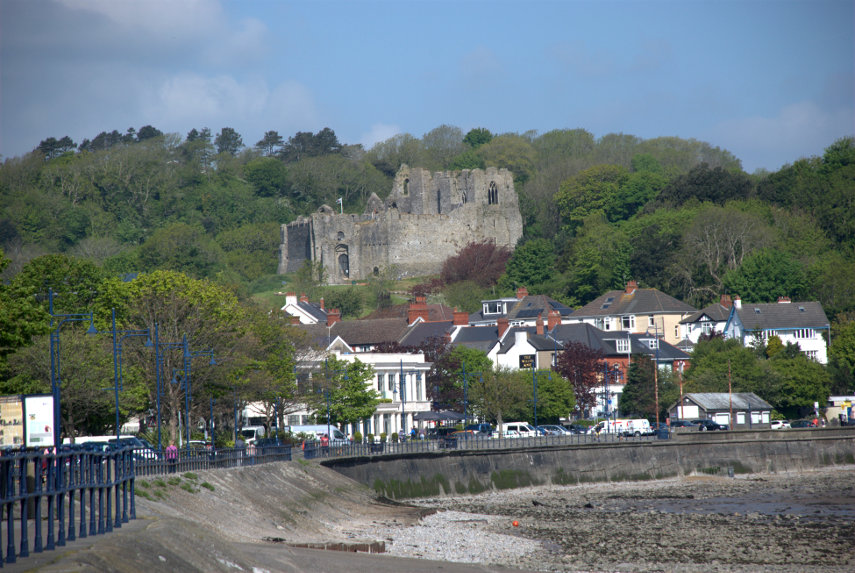
Looking to our left we can see buildings in Oystermouth. That rather prominent stone building on the hill is Oystermouth Castle.

Looking to our right we can see Mumbles Pier which is where we're headed. Mumbles seems to be quite a busy little place with plenty of shops and cafes and we have a slow, pleasant walk along the pedestrian/cycle path which follows the shoreline. It isn't very long before we arrive at Mumbles Pier.

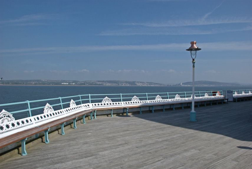
Mumbles Pier is Victorian, as most piers are in this country, and is apparently privately owned. Access is free and we walked out to the decking at the outward end. That part of the pier between the shore and this deck at the outward end is in a bit of a state but it is apparently being renovated as this outer part shows.

The pier buildings on the shore are also Victorian and the left-hand end is a cafe where we had our morning coffee. It is a nice little cafe which also serves food but we didn't try that. The cafe seems to have preserved many of the original Victorian features including the chandeliers and fans.

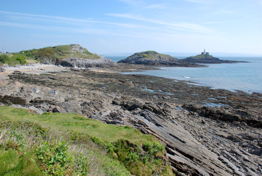
After our brief rest we climbed the obvious steps to the top of the cliff and walked south-west past Middle Head and Mumbles Head and then looked back to this view. Mumbles Head is the one with the lighthouse on it and Middle Head is the one behind it.The lighthouse was completed in 1794 and initially two open coal fire lights were displayed which were difficult to maintain and were soon replaced by a single oil-powered light within a cast-iron lantern. The lighthouse is now unmaned.

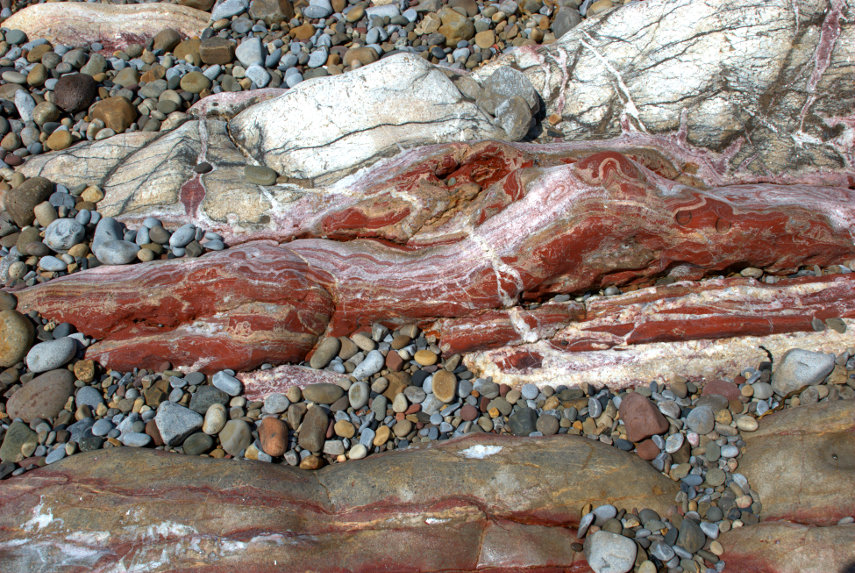
We walked as far as Limeslade Bay and went down onto the beach where we rumaged around looking at the rocks. The rocks on the Mumbles promontory are steeply inclined and from the Carboniferous period being limestone at the seaward end and coal measures at the landward end. We found this among some of the bedrock and I don't profess to know what process would have caused it but it is very striking.

It was at this point that we made another mistake. Looking at the map it was obvious that if we went back the way that we came we would be travelling in a semi-circle whereas cutting through the side streets would be a straight line. Well it would have been if the ground had been flat so we ended up travelling in a semi-circle, but vertically, as we went up and over the hill. I should have looked more closely at the contours shouldn't I? The road down turned out to be interesting as it was obviously an old road, very narrow in places and winding all over the place.

We got there in the end and ended up at Oystermouth Castle. The castle is Norman, probably built around 1220, and is the responsibility of the local authority but is run by a volunteer group called 'The Friends of Oystermouth Castle'. The entry charge is £3.50 for adults and £2.50 for us oldies. I have to say it is certainly worth it.

One of the unusual features is a glass bridge about 30 feet up and, yes, we did walk over it and back again. The fun part is going up and down the spiral stairway and there are a number of those in this castle.

There are lots of features in this castle including wall walks, intricate passages running hither and thither and various halls and rooms. One could become quite disorientated with little effort but that's part of what makes it interesting.

There are also good views from the upper parts.

We left the castle early afternoon to get the bus back to Swansea as we wanted to visit the Tram Museum by the Marina. This museum is open only on Wednesday and Saturday and as today was Wednesday now was our chance. I suggested to Amanda that we go back to the bus stop then start to research bus times in case one comes along. When we got to the road a bus came along with 'Swansea City Centre' on its indicator board so we had to run for it. The doors shut just as we got there but the driver did notice us and re-opened the doors. Nice chap.

But, there had to be a but didn't there, this turned out to be one of those buses which diverts from the short route to make a circuit of the suburbs. Luckily it wasn't as long as happened yesterday but I did say then that we learn from our mistakes; we obviously don't. We may have been more fortunate if we had missed that particular bus. We still got back in time for the Tram Museum except for one minor point; it wasn't open. I enquired in the Swansea Museum nearby to be told that only one of the two required volunteers had turned up that morning so they weren't allowedto open it. Bother!

A quick change of plan saw us heading back north in the direction of the railway station to a shopping centre called 'Parc Tawe Shopping Centre' just north-east of Castle Square. No, we weren't going shopping but we were planning to visit 'Plantasia'. The local council describe it thus:

'We decided to create a Rainforest in the middle of the City to highlight the need and importance of looking after and protecting the World we live in. So come in and walk around our Tropical Paradise, take time to learn about the plants and animals which call the beautiful Rainforests their home.'

The entry charge is £3.95 for adults and £2.95 for us oldies. Not a lot.

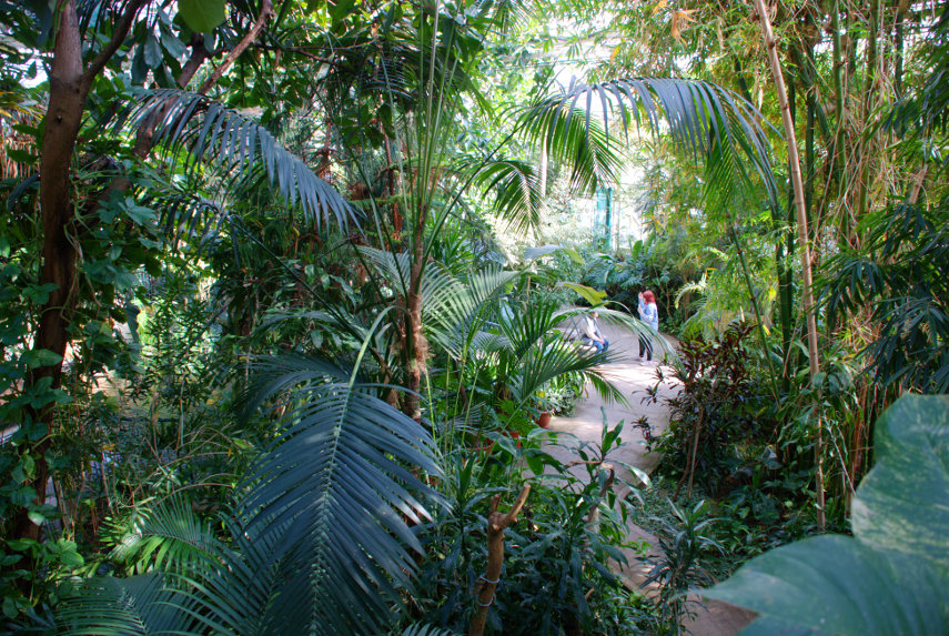
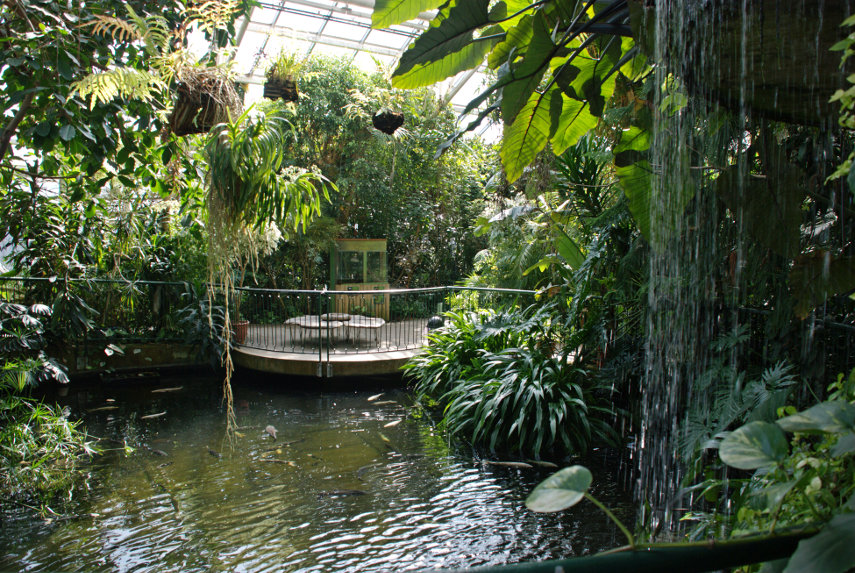
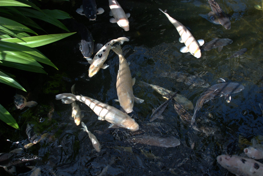
Lots of interesting plants and there is a large pond with a waterfall together with a lot of large fish. When we leaned over the rail to get a better look the fish came rushing over to have a look at us. We saw a notice later which mention packs of fish food to buy so I think that they must be used to visitors giving them food. They were out of luck this time.

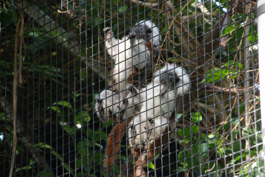
They also had two Cotton Top Tamarin monkeys which are among the most endangered primates in the world with a population of somewhere around 2500 individuals and which were apparently rescued from a zoo that was closing down. So they now have a home here in a wired off enclosure that appears to be the full hieight of the building.

They normally hide in the densest undergrowth which is what they were doing when we arrived but a bit of patience paid off when they eventually appeared. They are about the size of a domestic cat and rather cute with it.

There is also a separate section where some tropical birds can fly freely although not this particular one. It does know a few words but wasn't at all communicative when we were there. I seem to have that effect on people.

These Lorikeets were able to fly around and at one point I felt the draught as they flew close over my head. Cheeky little blighters. They are capable of talking and are also good whistlers. We didn't hear any of them say anything but their whistles were piercing.

The end of another perfect day so back to the hotel for a meal and, hopefully, a good nights sleep. So I'll wish you all a good knight and, luckily, we have one to spare courtesy of Oystermouth Castle.

Sorry but I couldn't resist.

More sightseeing tomorrow – our last day.
The Other End – Day 2

The Other End – Day 2

We wake up early on the first morning in our hotel. A bit too early as it turns out. It is 5:00 AM and we have been woken by the extractor in our bathroom starting up very noisily. It seems to have a mind of its own as there doesn't seem to be any logic to its operation. I later mentioned it to reception who later told us that it had been checked and there was a fault so they've temporarily disconnected it. We went back to sleep and eventually woke again at 7:00 AM.

Drawing the curtains tells me we have wall to wall sunshine. Super! We have a pleasant relaxed breakfast. Very friendly and cheerful staff and lovely food. Can't complain at all.

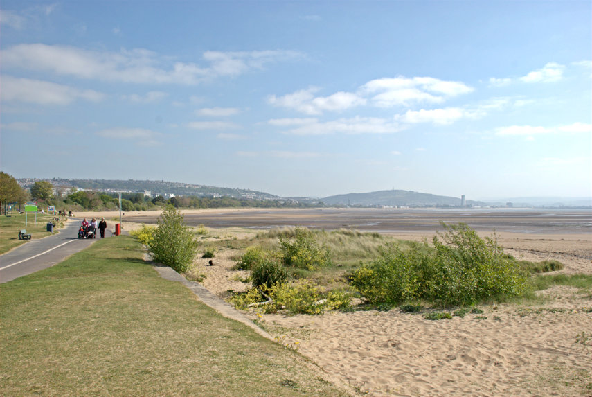
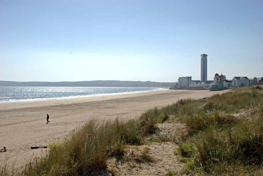
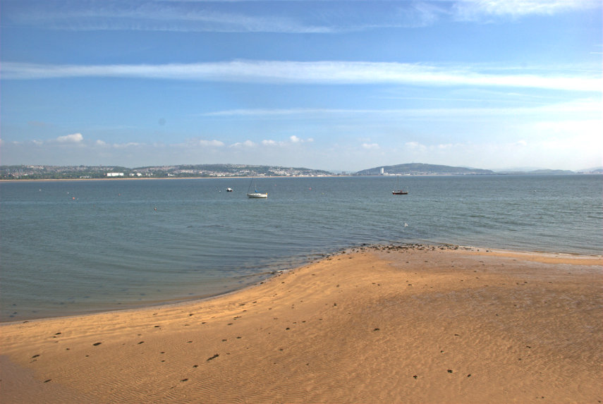
After breakfast we set off for the bus station which is a 10-15 minute walk away and we catch a bus towards Mumbles. We aren't going as far as Mumbles and we alight after about 12 minutes at Black Pill near the Woodman pub. Anyone that knows this area will realise where we're going but before we got there we sidestepped onto the shoreline for a quick photograph of Swansea across the bay.

You should be able to see a tower on the right of the picture. That is near the Marina where I previously photographed this same beach. Quite a beach!

We went back across the Oystermouth Road and down the lane beside the Woodman pub and we arrive here:

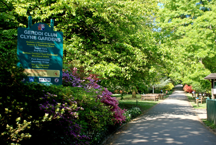
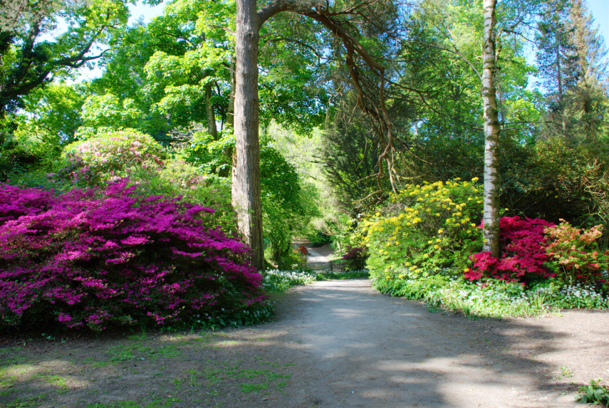
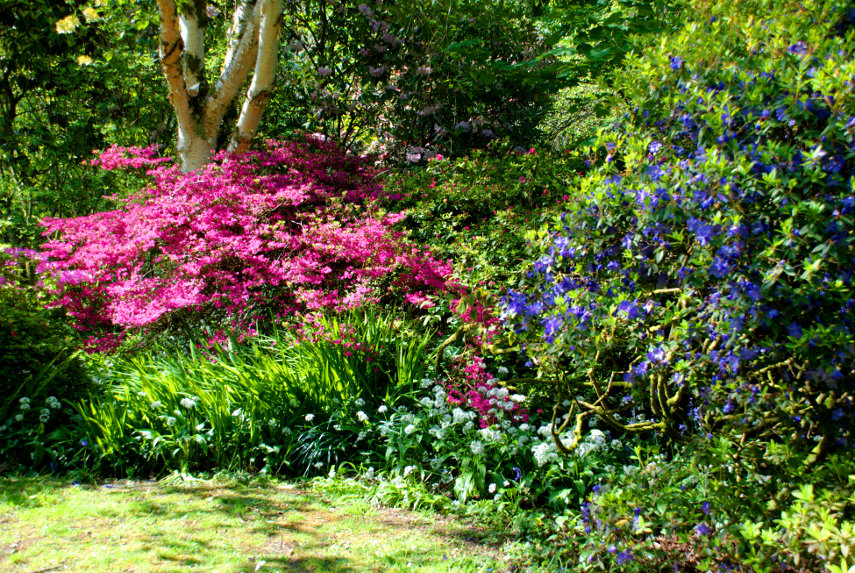
Clyne Gardens are known for their Rhododendrons and Azaleas and I make no apologies for the number of 'flowery' pictures. Consider yourselves lucky that I haven't included all the phogographs I took. This is one of those places where one wants to take another photograph after every step. We planned to make this trip at this time (8th-11th May) because of the Rhododendrons and Azaleas displays. The intensity and variety of colour is astonishing and more so when you consider that entry is FREE. You cannot get better value for money.

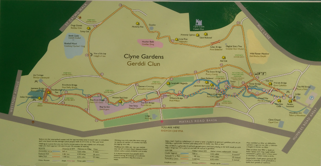
I have reproduced a plan of the gardens below which is a photograph of the board displayed at every entrance and you can just read the text in the larger version. You should notice that the gardens are roughly divided into two; the lower part with all the paths that seem to wind all over the place along the route of a small stream, giving a sense of seclusion, and the upper part which is on higher ground and is more open. Both areas are utterly delightful.

We entered the gardens at the extreme right. We made a mental note that just inside the gate there is a refreshment tent and just a short distance on are toilets. A good combination for us oldies.

We were then faced with this view. Doesn't that path seem inviting? Don't you feel that you want to see what treasures it holds? We had decided to follow the little stream to the large pond at the end then come back along the path which borders the stream valley so we took the first left. We were immediately assailed with bright colours at every turn.

It's alright for some of us who have time to sit and admire the view but someone has to take the photographs. Click, click, click. It is rather like being inside a kaleidoscope.

It took us quite a while to cover any distance as there is so much to look at but we did, eventually, arrive at the Japanese Bridge. The little waterfall feeds the stream running through the gardens.

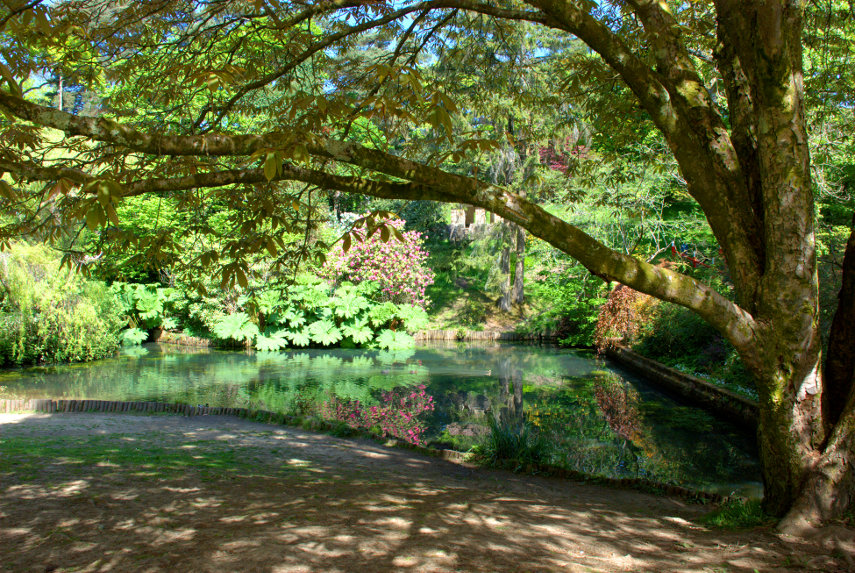
This is the pond at the end of the garden that feeds the waterfall above.

This garden does have many plants that are not especially colourful but which, nenertheless, are interesting.

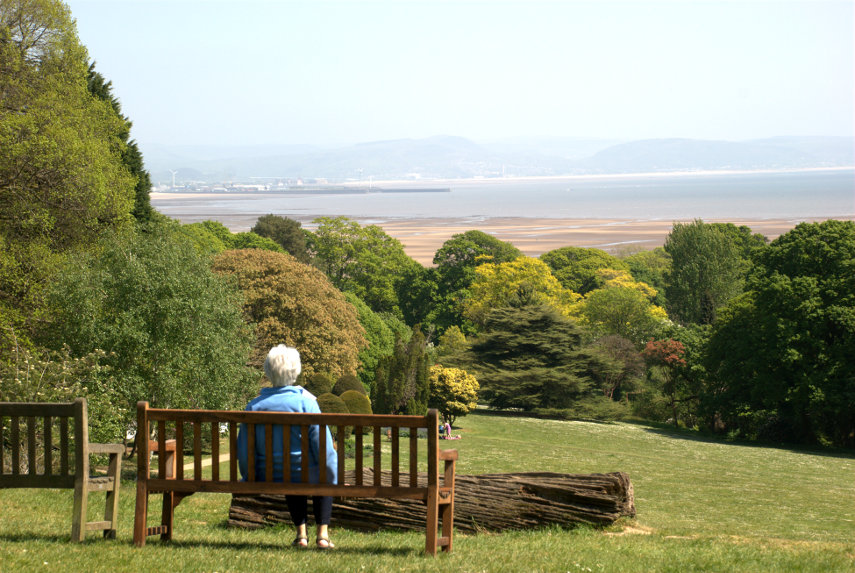
We made our way back toward the entrance although we weren't ready to leave, toilets don't ya know., then went back along the path which follows the top edge of the gardens. There were, of course, yet more colourful displays and some very impressive specimen trees. This garden has something for everyone. No, it has everything for everyone. This next picture is from the top part of the garden and you can see that it is higher than the secluded parts with a view across Swansea Bay and showing Swansea on the left.

We went back towards the entrance and had some hot drinks, some items left over from yesterday's lunch together with some purchased cake as a light lunch whilst sitting outside in the sun. When we were finished we strolled off towards the bus stop where we hoped to catch a bus for a short ride back towards Swansea to Singleton Park. I had an application on my smartphone which gives details of bus routes, bus stops and times which we found to be very handy and this gave us a bus at around 2:30 PM. We had a choice of getting off at one of two places. The first involved a walk which I estimate would have taken us 10-15 minutes and the second would drop us off at a stop which was significantly nearer. We chose the second. Big mistake! What I hadn't realised is that the bus goes all round the streets in the suburbs and turns a 10 minute ride into 40 minutes. Oh well, one learns by one's mistakes but we got there in the end.

This time we were visiting Singleton Park although not all of it but just the Singleton Botanic Gardens. We walked through a small part of the park to get to the botanical gardens and saw this stone circle on the way. This is not a genuine stone circle but one that was built in 1925. Known as the Gorsedd Stone Circle it was erected for the National Eisteddfod of Wales' Proclamation Ceremony.

The botanical gardens are described by the local authority as 'one of Wales' premier plant collections, with spectacular herbaceous borders and large glasshouses' and we wouldn't argue with that. Once again entry was FREE. I do like Swansea.

The greenhouses are large enough to have pathways and they didn't seem overly hot.

There was an arid greenhouse which featured numerous cacti, succulents and the like.

The local authority also says 'Although the gardens are at their most stunning during August, when a full programme of events and tours are staged, there is something to see throughout the year. The herbaceous borders are a fantastic sight from late March until mid October'.

They can say that again!

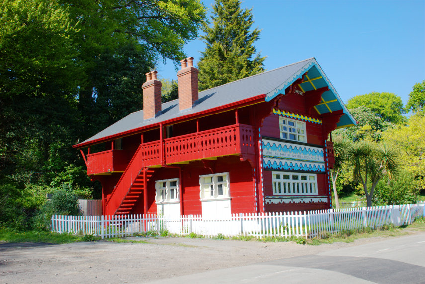
We wandered out of the Botanical Gardens into the surrounding Singleton Park which was originally part of a large family estate. We saw this Swiss style chalet built in 1826 as part of that estate and was designed and built locally. There are plans to use it as a cafe although there were no signs of life when we were there. It is, apparently, a listed building and Swansea Council is now working on the legal details of a plan to lease the Alpine-style building to Swansea University.

As well as refurbishing the inside of the cottage to provide a tea room and a café, the university is also looking into the possible introduction of a visitor centre and cycle hire facilities there in future. Watch this space.

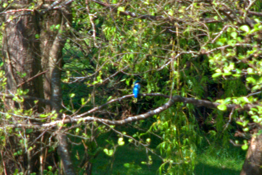
Whilst in the main park we saw something unusual. The next photograph won't win any awards but it is the only time I have managed to photograph a Kingfisher. There is no mistaking that brilliant blue and we saw it fly a number of times. They aren't rare but they are very shy and you will be very lucky to see one. We were on the other side of the lake and I was using maximum telephoto. Must be a good omen.

We finally had had our fill of plants and flowers for today so wandered back to the bus stop. This time the bus didn't go all round the houses but went straight back to the bus station from whence we went back to the hotel.

If you are a keen walker you could walk along the sea front from near the Marina to Clyne Gardens, a distance of about 3 miles, and then walk from Clyne Gardens to Singleton Gardens which is probably no more than a mile.

We are looking forward to tomorrow.

The Other End – Day 1

The Other End – Day 1

You may remember that in posts in the recent past I have mentioned the 'Heart of Wales Line' which is the railway that runs through our town, Knighton, and that we have twice travelled to Shrewsbury on it. We decided that it was time to visit the other end of the line which is Swansea. The trip north to Shrewsbury takes less than an hour which makes a day trip feasible but the trip to Swansea takes more than three hours so we made a three night trip of it.

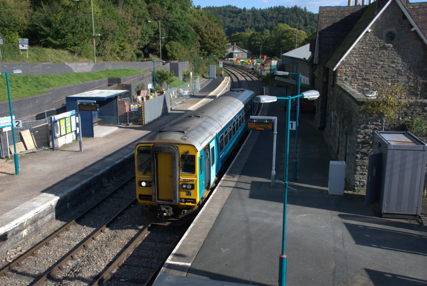
We took one case, with wheels, to keep luggage to a minimum and Amanda, my wife, and I set off one sunny morning and trundled down to the station to catch the 11:01 AM train to Swansea. We made sure that we were in plenty of time as there is a train only every four hours so if we missed it we'd have a long wait. This is the train in our little station and, yes, that's all of it; one whole carriage. Well there is only two of us. smiley

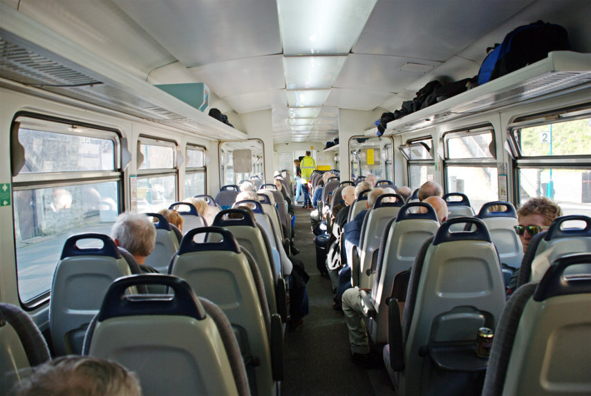
There were plenty of seats and we were very quickly settled. There turned out to be no refreshments available but we had come prepared with a paper bag full of lunch and one can of fizzy drink. The doors shut and we were off! Some of the stations on this line are request stops and if you are waiting on such a station you have to hold your hand out for the train to stop and if you want to get off at one of those then you should tell the ticket man and he will make sure that the driver knows to stop.

After five stations we stopped at Llandrindod Wells and sat there for twenty minutes. This was not unexpected as it is a single line all the way except in some stations, like this one, where trains can pass and we were waiting for the train coming the other way. When it arrived we continued on. This line runs through very picturesque countryside which is, of course, covered in the inevitable sheep. After travelling for around two hours we had our packed lunch and we eventually arrived in Swansea at around 2:30 PM.

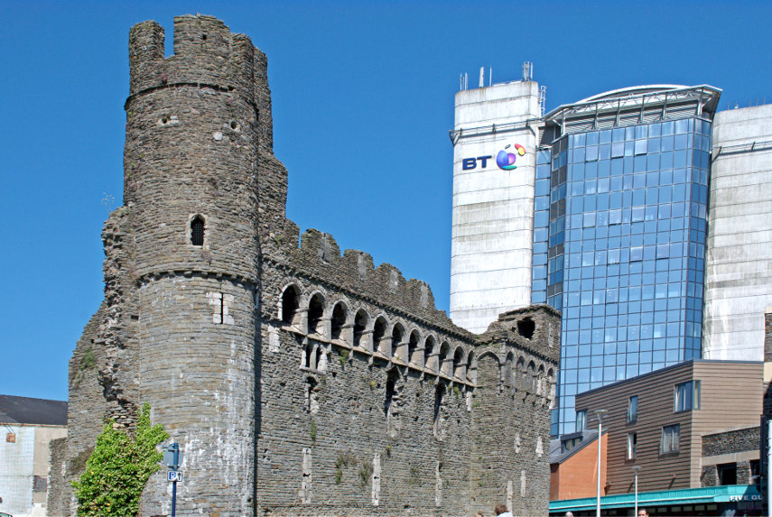
We set off down High Street (trundle, trundle) passing through Castle Square on the way which, amazingly, contains the remains of a Norman castle.

There isn't a lot of it left and one cannot go inside but it is a real medieval castle and I rather like the contrast between the old and the new. We continued on (trundle, trundle) and soon arrived at our hotel – Morgan's.

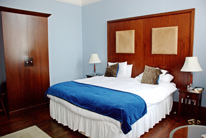
A rather nice Victorian building which used to house the Port Authority but which has now been converted to an hotel. Our room was on the first floor and there is a lift for those who cannot manage stairs. The room doors have electronic locks operated using a credit card sized card, there is air conditioning in the rooms for those who want it and the rooms have good sized en-suite bathrooms.


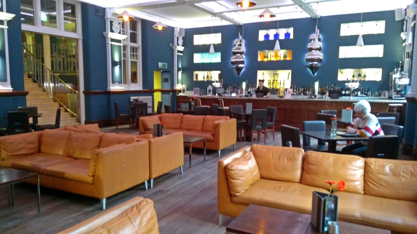
They do have an odd eating arrangement here. Dinner, in the dining room, is served only Thursday to Saturday and on other days food is available in the bar. It is, however, a very nice bar and the food really is excellent with a reasonable number of options on the menu. We settled ourselves into our room and then went out for a look round. One has to bear in mind that the Germans flattened Swansea during the last war so there are few old buildings but we didn't see any new buildings which we disliked and, overall, Swansea has a nice atmosphere.

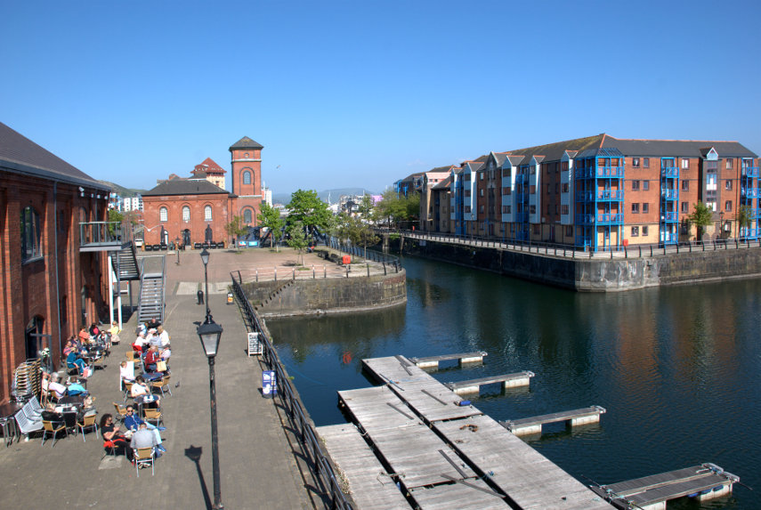
It was a short walk to the Marina where we found the Waterfront Museum but didn't go in as we were saving that for the day we were leaving. The museum is the building on the immediate left which incorporates a small cafe with people sitting outside at tables although there are also tables inside.. The red brick building with the small tower is an old Victorian water pumping station which has now been converted to a pub.

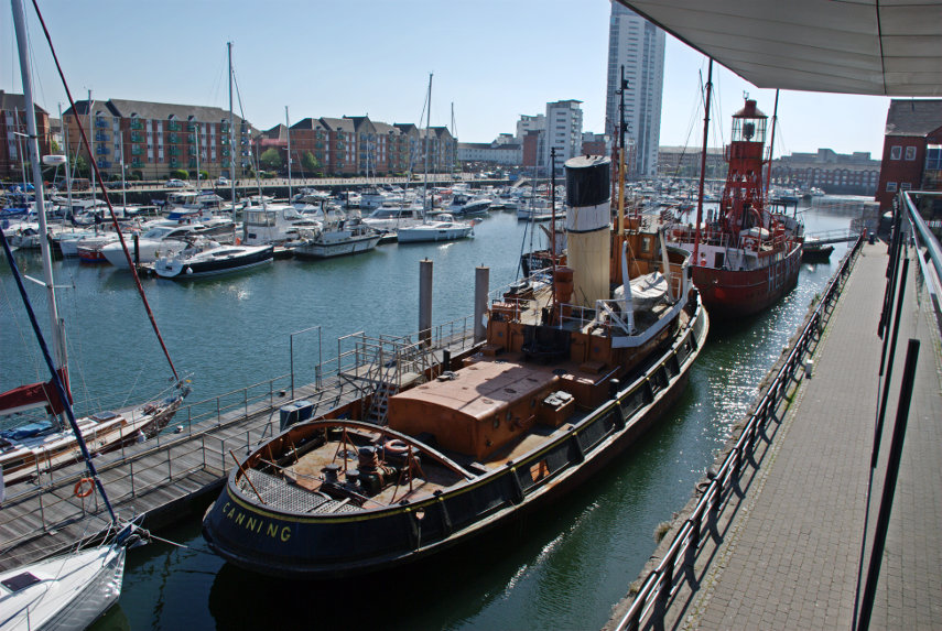
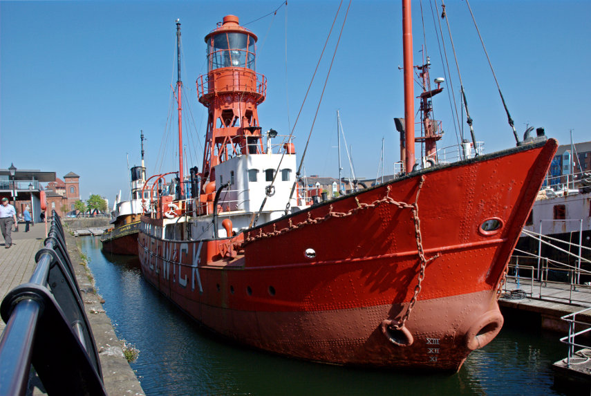
Looking in the opposite direction we can see boats in the marina and, in particular, two old vessels. The nearest is 'Canning', an old steam operated tug, and the further of the two is 'Helwick', an old lightship, both of which are no longer in service and have been kept as museum pieces.

Swansea is on the coast and the sea can be found a short walk south across the marina. It is on a bay called Swansea Bay, no surprises there, and there are long stretches of beach composed of fine sand, suitable for children, which run round the bay as far as Mumbles.

We were both getting a bit tired now so it was back to the hotel to prepare for an evening meal. So far we have liked what we've seen and tomorrow is another day.
Dial-a-ferry

Dial-a-ferry

Six weeks ago to the day we were going to do this very trip but I had a heart attack instead so it had to be cancelled. However no heart attack this time so we left home to do the short drive (10 miles) to East Mersea. You have probably not heard of East Mersea which is not surprising as it is in the middle of nowhere and there is very little there except Salt Marsh, sand and water.

So why are we bothering? Well we don't intend to spend the day at East Mersea as we are going to call the foot ferry which will take us across the water to Brightlingsea. You've probably not heard of Brightlingsea either but never mind.

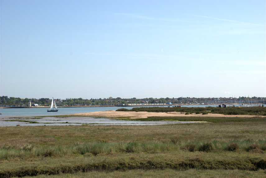
We parked our car and walked down the footpath to the river wall and this is the view from that river wall.

Across the other side of the River Colne is Brightlingsea. We need to get onto that sandy spit this side because that is where the foot ferry lands. We had, by this time, telephoned  from my mobile phone for the ferry to come over from Brightlingsea to pick us up. The ferry runs a scheduled service from the middle of July to the end of August but outside of those times there is a scheduled service at weekends and bank holidays but during the week it has to be requested by telephone. It's rather novel really and something we have not done before so we had to give it a try.

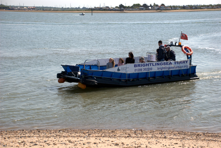
We reached the beach easily enough although some of it was hard work in the very soft dry sand. One step forwards, half a step back, but we got there. Having reached the pick-up point we could see, in the distance, the ferry making its way toward us.

As it got nearer we could see that there were passengers on board who were obviously coming to East Mersea.

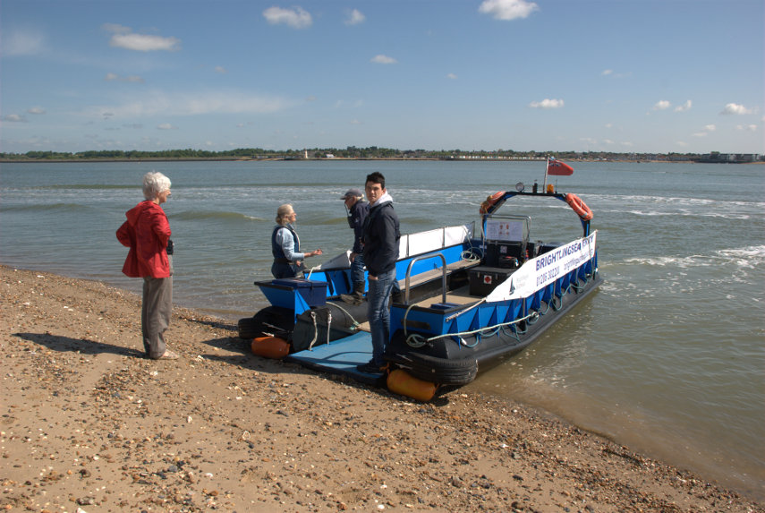
The bow of the ferry grounds on the beach and a small ramp is lowered to afford easy access. That funny woman in the red coat is apparently keen to get on board.

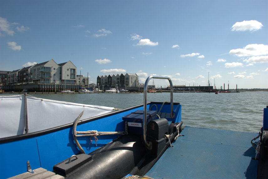
Well she did get on board and so did I and off we set. Warm, sunny and calm – just right. On the way across the boatman and I were discussing our heart attacks, as you do, and in a fairly short time we were nearing Brightlingsea Harbour.

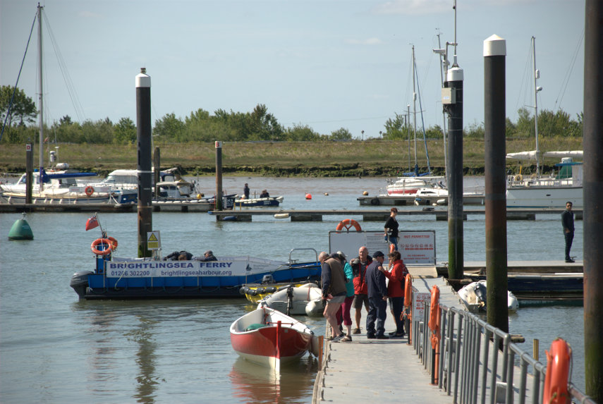
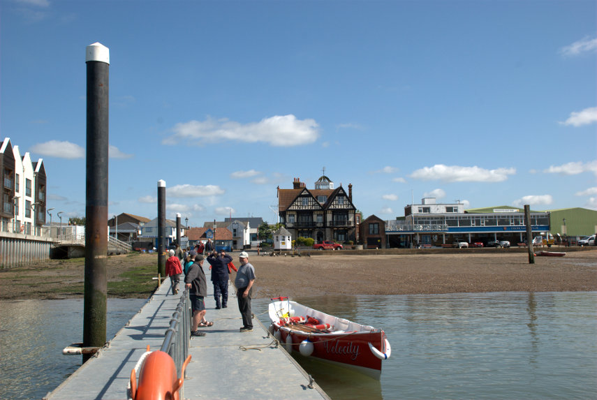
It wasn't long before we were moored at the end of the harbour pontoon and we set off along the pontoon to reach land.


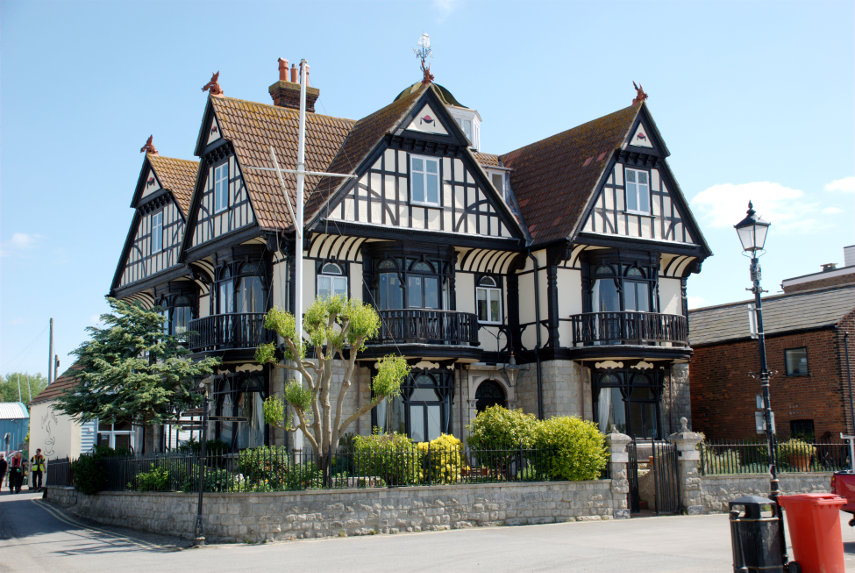
The first rather obvious building we noticed is this one. It used to be the Anchor Hotel but has now been converted to appartments. Dating from around 1901 it is a listed building although only just over a hundred years old. A very attractive building.

A little further along the street is this Cinque Ports Wreck House built around 1811. Interestingly there is another building in Sydney Street in Brightlingsea which is labelled "Cinque Ports Wreck Warehouse". I haven't been able to discover why there are two similarly named buildings.

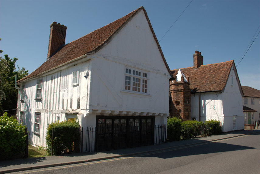
Having walked from the harbour area into the centre of the town we found Jacobes Hall, reputedly the oldest timber-framed building in England, built during the fourteenth century. The people that lived in this house paid for the church to be built so they must have been pretty wealthy.


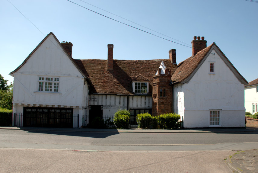
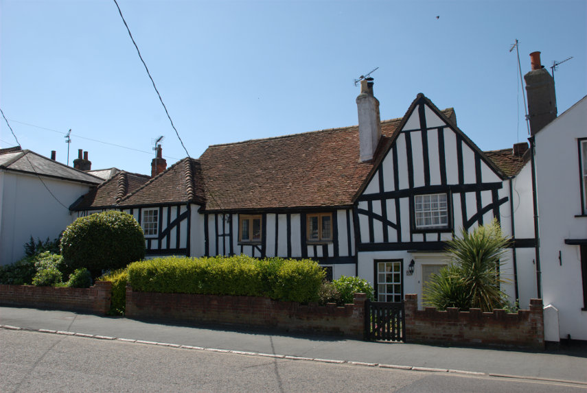
 A little further along the same road was another timber-framed hall house.

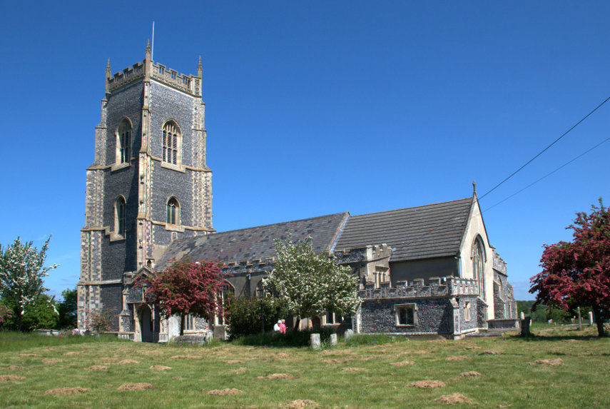
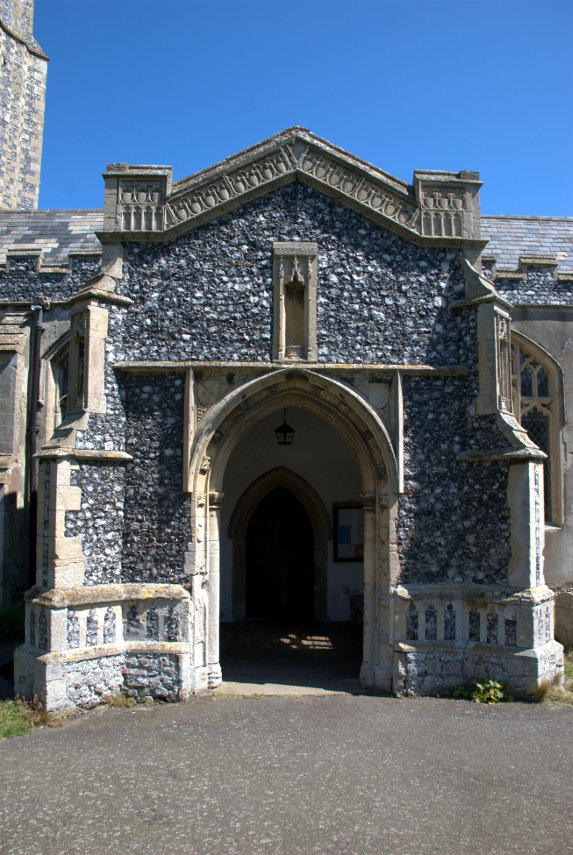
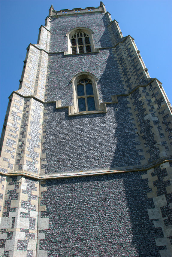
We wanted to visit the parish church next but it was on the outer edge of the town, about 1.5 miles from the centre, so we decided to go by bus. Built around 1250 this church is not easily missed with a tower not far short of 100 feet high and most of the building covered in flushwork which is extraordinary. In the recent blog post "Following the Stones" I mentioned the flushwork on Hall Place but this church puts it to shame. We have not seen so much flushwork on one building.


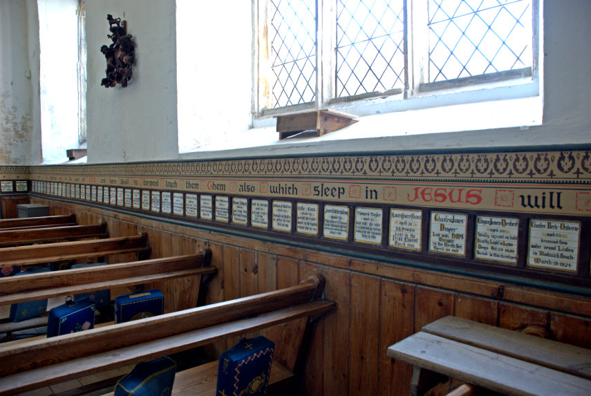
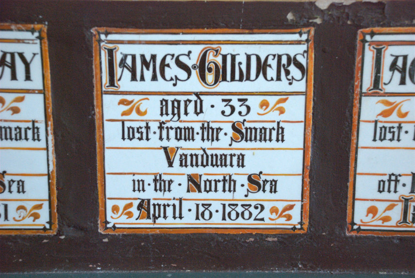
There is an unusual feature inside the church in the form of memorial tiles in a strip all round the church. There is one for each parishioner who lost their life at sea – 213 in all.


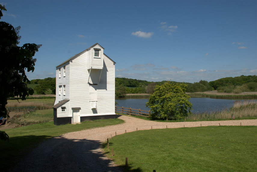
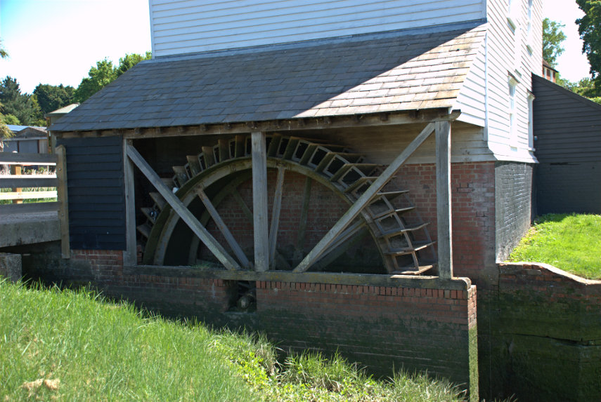
At this point we realised that we were only about half a mile from the Thorrington Tide Mill, built around 1831, so we decided to walk there. We followed the footpath on the side of the road and soon found the mill entrance. The public have access to the mill only in the afternoon of the last Sunday of each month and also bank holidays so we weren't able to go inside but we did have a good look around the outside.


A tide mill works from a large mill pond, shown in the first of the two pictures above, which is filled at high tide then closed off. After the tide level has dropped the sluice can be opened to let the water back out via the water wheel, shown in the second photograph above, which then drives the mill. Clever eh? We would like to see inside so perhaps we'll have to try and arrange a re-visit when it's open.

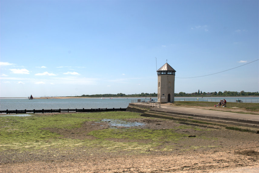
We now crossed the road to the bus stop and got the bus back to Brightlingsea but got off one stop before the town centre. This takes us a little closer to Bateman's Tower which we were planning to see next and after a short walk there it was.

That sandy point across the water is where we started this trip from.

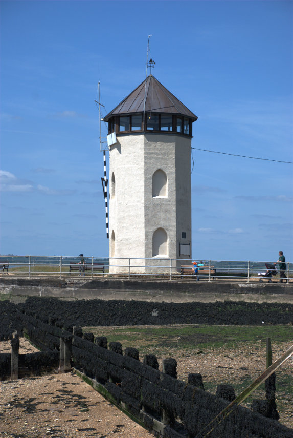
Built in 1883 by John Bateman the tower was used as a folly for his daughter to recuperate from consumption; however it may have been intended as a lighthouse as part of a failed plan to expand the port.

You may notice that the horizon in the picture is level but that the tower is leaning so it's not the photographer's fault. It is said that its foundations were laid on bundles of faggots (brushwood) so the fact that it leans shouldn't come as a surprise.

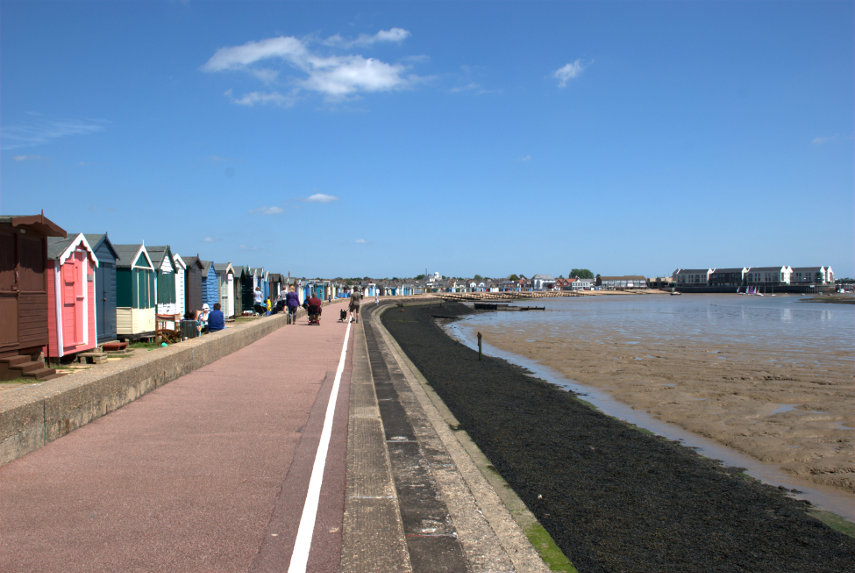
We walked back, on the little promenade, to the harbour where we asked to be taken back to East Mersey on the ferry and thence home.


Leave a comment

A rather fowl walk

A rather fowl walk

Some friends of ours (yes we have friends) visited us yesterday and it was a lovely sunny day so we went off for a walk.

We parked a car at the proposed end of our walk and drove off towards our intended starting point. We went via an Indian Restaurant first for lunch in a nearby village and very nice it was too.

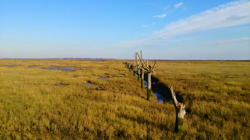
After lunch we drove to the start of our walk and parked, changed into walking boots, and off we went to some Essex Salt Marshes  via the river wall. We saw and heard some Curlew with their distinct bubbly call and I stopped to take my first picture using my smartphone.

How's that for the middle of nowhere?

As we progressed we saw more and more water fowl including Teal, Widgeon, Pin-tail duck, various types of geese who come from more northerly climes to overwinter here and, at one point, we saw a flock of Golden Plovers wheeling around the sky which was quite a sight as there were thousands of them. They made quite a spectacular display. We also saw a Great Crested Grebe and, briefly, a Marsh Harrier.

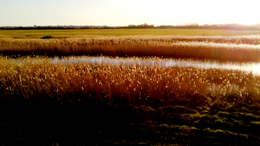
When we were nearly at the end of our walk I took one more picture.

The sun was very low now, being only just above the horizon, so I photographed the brush-like heads of these rushes which were lit by the sun.

We did make it back to the other car and went off to collect our previous car then went home. A rather nice day.

I went 220 miles to Devon for 30 minutes – Tuesday.
I went 220 miles to Devon for 30 minutes – Tuesday.

I got out of bed this morning and tried to encourage my legs to move and by the time I'd got down to breakfast they were just about usable again (but only just smilies ).

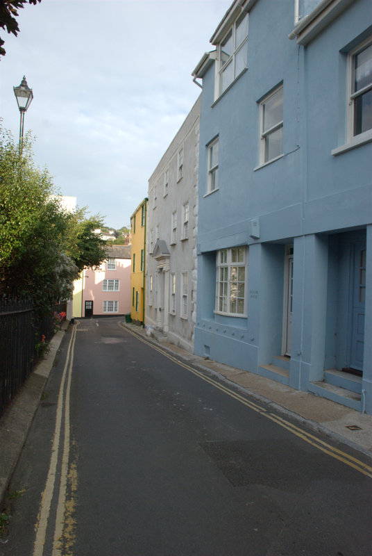
Breakfast is fairly late here, at eight o'clock, so I first wandered out into the town towards the church. It was very quiet as I passed through the back streets and emerged near the church.


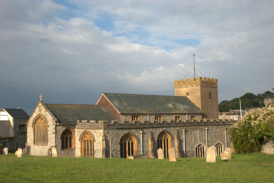
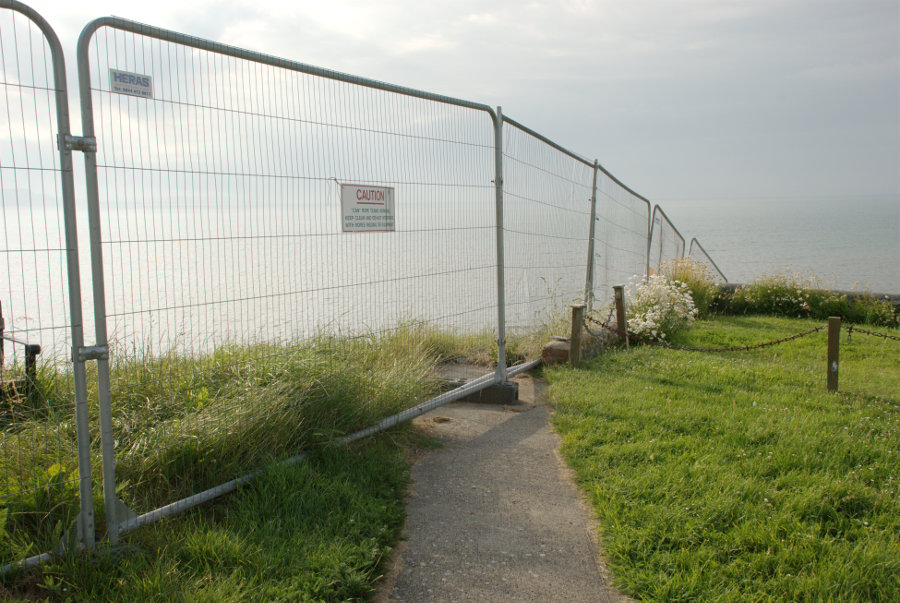
The church is quite old with parts dating back to Saxon times. The interesting part is in the churchyard on the seaward edge.

That wire fence is to stop people from dropping off the edge of the cliff and you can see that the path shown goes nowhere. This church, when it was built, was a long way from the cliff now it can't be more than 50 feet. It is hoped that the new sea defences below will stop the erosion.

Back for breakfast then onward.

I'm going to hop on the same bus again this morning but I'll be going through Chideock to Burton Bradstock this time which is about a 60 minute journey.

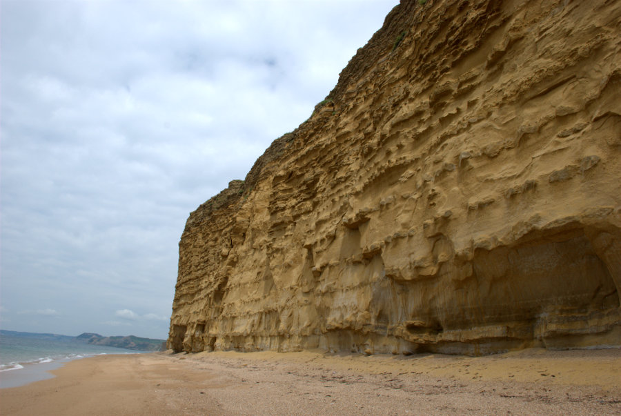
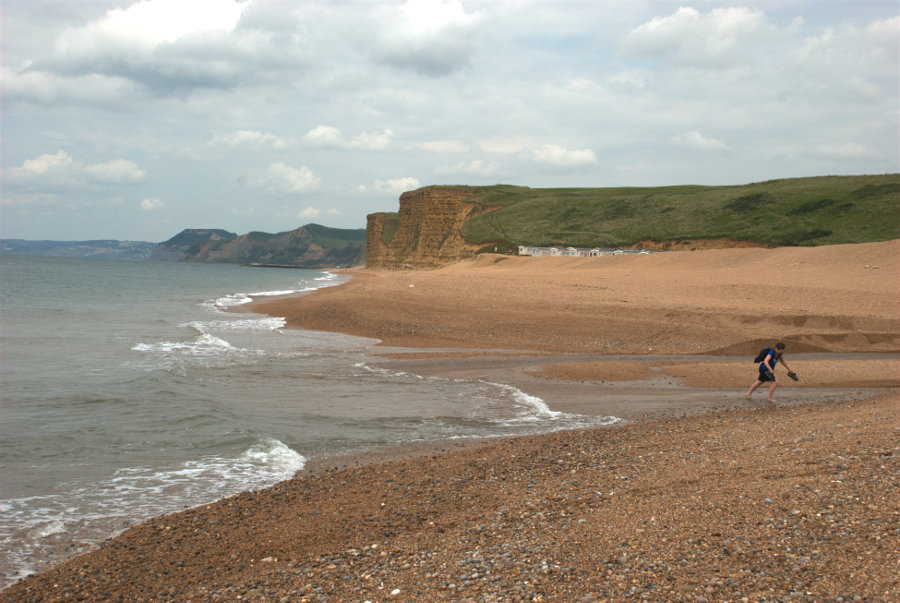
I get off the bus just the other side of Burton Bradstock and walk down Beach Road. High tide was about an hour ago so the tide is going out and it's safe for me to walk along the beach as far as West Bay. I say 'safe' because there are high cliffs on my right all the way.

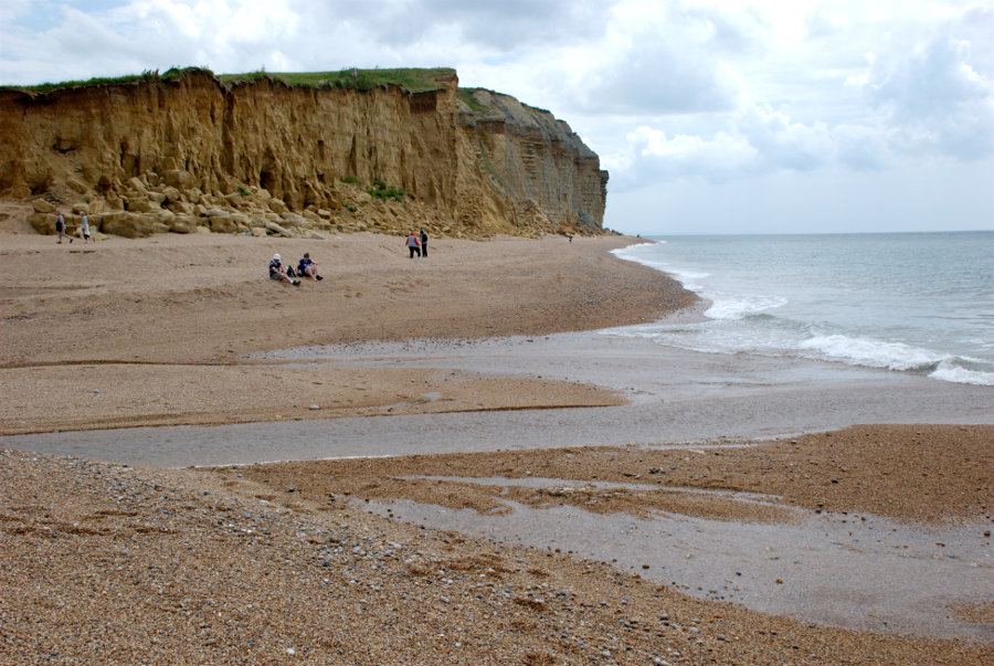
The cliffs, as you can see, are made up of alternating bands of hard and soft rock giving them a striped appearance. The rocks are Inferior Oolite and Fullers Earth from the Middle Jurassic.

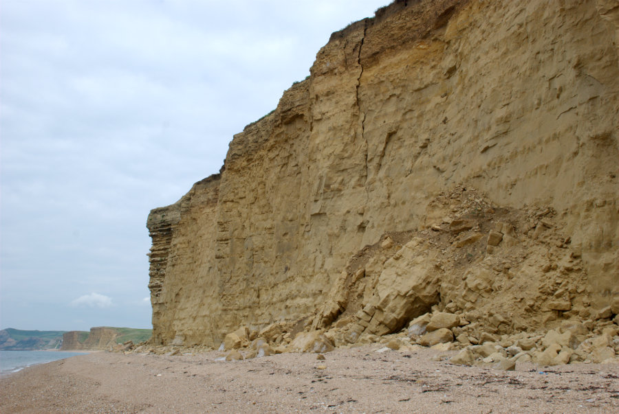
As I walked along the beach I could hear a sound which might be described as a cross between a crack and a knock. This sound occurred regularly at intervals all the way to West Bay and was definitely coming from the cliffs. It sounded rather ominous but there were no rock falls whilst I was there. I can only assume that it was the hard bands expanding and contracting with changes in temperature.

These cliffs are dangerous and rock falls are not uncommon. This shows a recent fall and that crack in the cliff above doesn't look particularly safe. Staying away from the cliff, as I am, is the safest thing to do and needs to be done when the tide is going out so that more of the beach is exposed.

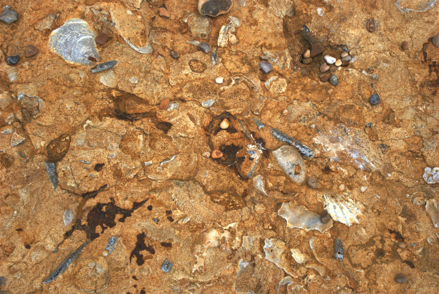
The hard rock bands are certainly fossiliferous as this picture of one of the fallen slabs shows. There are many molluscs and belemnites.

I continued along the beach towards West Bay until I reached the River Bride. That means I either paddle or go inland a little way to use the bridge.

I decided to do as the person in the picture did. The water at its deepest didn't reach my ankles nor was it particularly cold and to prove that I did get to the other side:

There are other people on the far side, who were behind me, preparing to do the same.

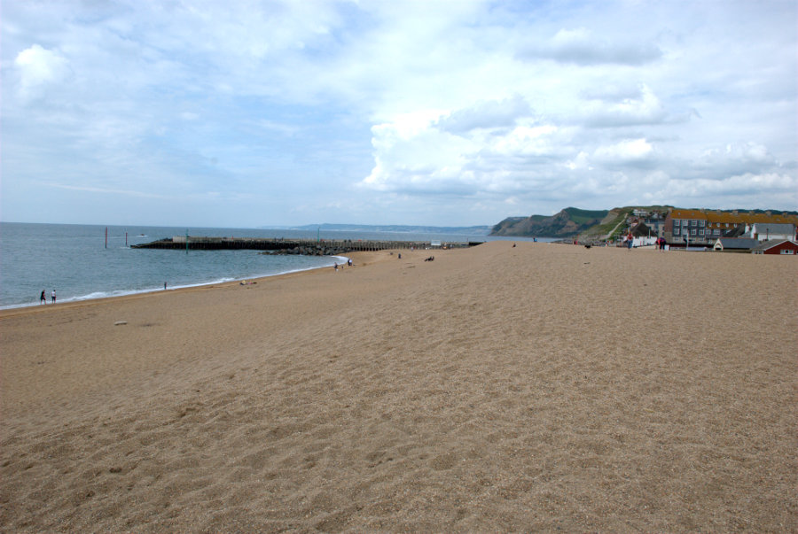
I finally reach West Bay which is the seaside part of Bridport.


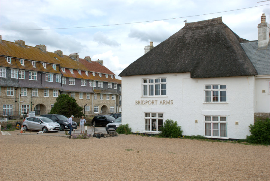
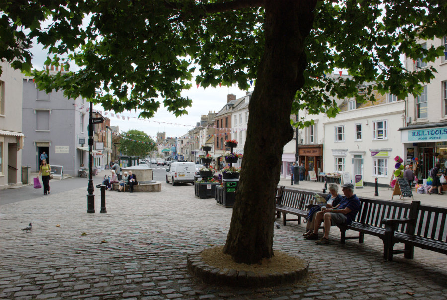
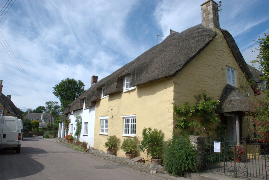
The Bridport Arms used to be the Ship Inn and dates from the late 17th century and is partly thatched. The town of Bridport is a bit of a long walk from here so I decided to catch the bus which set me down in the town centre. The main roads in Bridport, West Street, East Street and South Street form a 'T' with South Street being the leg of the 'T'. This is from the top end of South Street looking south.

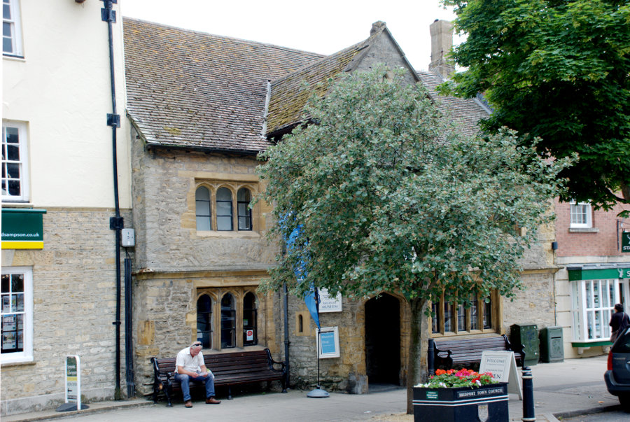
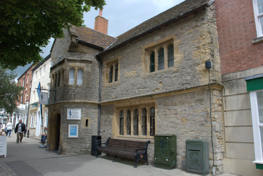
A short way down South Street is the town museum housed in this Tudor building.


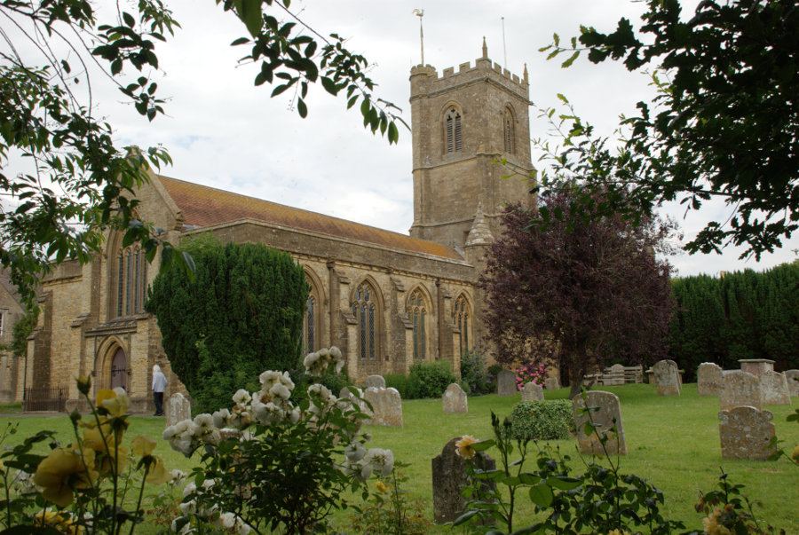
Further down South Street is the parish church of St. Mary dating from the 13th century.

In the lower part of South Street is the Chantry; the oldest building in Bridport dating from before 1300.

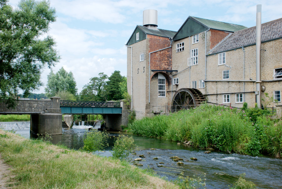
Further on by the River Brit is Palmer's Brewery dating from 1794 and the water wheel, forged in 1879 at a Bridport foundry, does still turn.

From Easter to the end of October a guided tour starts at 11.00 am on every weekday (excluding Bank Holidays) and lasts for about two hours. No I didn't.

I made my way back up South Street to West Street where, after a tiring day, I caught the bus to Lyme Regis. Tomorrow I leave Lyme Regis. smilies

(Tomorrow, Wednesday: I leave for home – or do I?)


I went 220 miles to Devon for 30 minutes – Monday.
I went 220 miles to Devon for 30 minutes – Monday.
Today is the big day! My most ambitious day of the whole trip. I plan to get the bus to Chideock (pronounced 'Chidock') and walk back to Lyme Regis via Golden Cap. What's Golden Cap? It's the highest point on the south coast – that's what. smilies

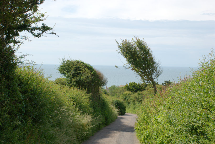
After breakfast I walked a couple of hundred yards to the bus stop to wait for the bus which is supposed to arrive about 9:35 which it did. Thirty minutes later I was standing by the roadside in Chideock looking for Mill Lane on the opposite side of the road. As it was close to the bus stop even I couldn't get it wrong and I was soon walking down the lane towards Seatown.


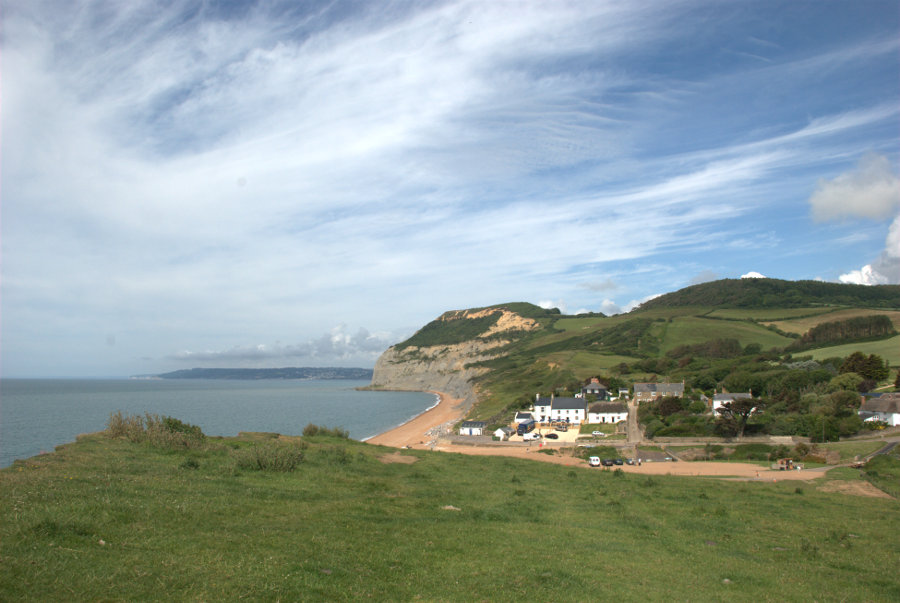
You can probably see that the sun is out but that there is plenty of cloud. It was only about three quarters of a mile to Seatown so it didn't take long to get there and I walked a little in the wrong direction so that I could get a view of Seatown.

I don't know why it's called Seatown because it's not even big enough to be a village let alone a town. smilies

This view from the beach shows Golden Cap ( the big lump in the centre of the picture) and I don't have to tell you why it's called Golden Cap do I?

I am foolish enough to start from here, at sea level, and climb to the top of that lump and then walk on over the hill to Lyme Regis. That's the plan anyway. So I set off the short distance up Mill Lane to find the start of the footpath and here it is.
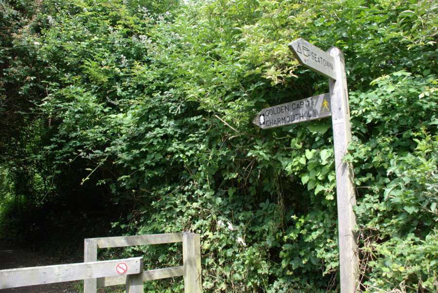
The figure is probably difficult to read but it says 'Golden Cap 1 1/2' (1.5 miles) and 4.5 miles to Charmouth. Here we go.

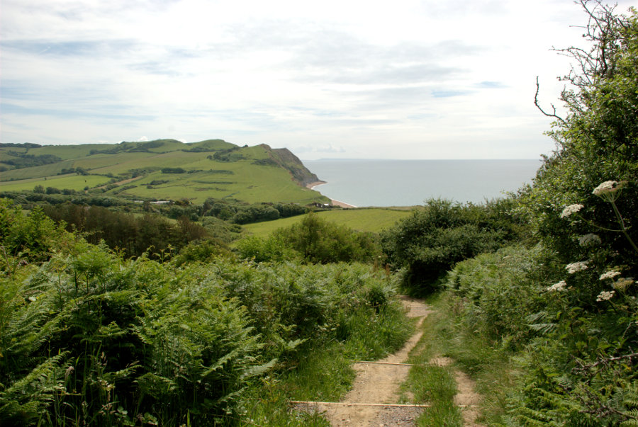
It starts off inocuously enough to lull one into a false sense of security along a gently climbing path then, when it thinks it's got you into a good mood, it starts to get steeper. The path is now steep enough that steps have been cut into it. This is done to alleviate erosion by walkers and to deliberately aggravate my old leg muscles smilies . The steps are cut into the ground then wooden risers are set at the front of each step to stop them collapsing. Here the steps are quite far apart so it's step up then walk a few steps and step up again.

You can see a couple of steps in the photograph above and you can also see that I have gained some height since leaving the lane. smilies

A bit higher now with the summit visible some way ahead. You may not be able to read the distances on the signpost but it says 'Seatown 3/4' and 'Golden Cap 1/2' (miles). So far I've walked 3/4 of a mile from Chideock to Seatown and another 3/4 of a mile from Seatown to this point – a total of just 1.5 miles and I'm already puffing and blowing. Still, the views are nice.

That's Seatown down there. It looks a long way down. I have still a good way to go yet and all of it steep. There are long stretches of path with lots of steps packed close together that seem to go on for ever. I finally get to a steep grassy slope with a bench seat at the top. Just what I need but I have to get there first. I didn't make it in one go and had to stop and rest part way but I did eventually make use of that seat.

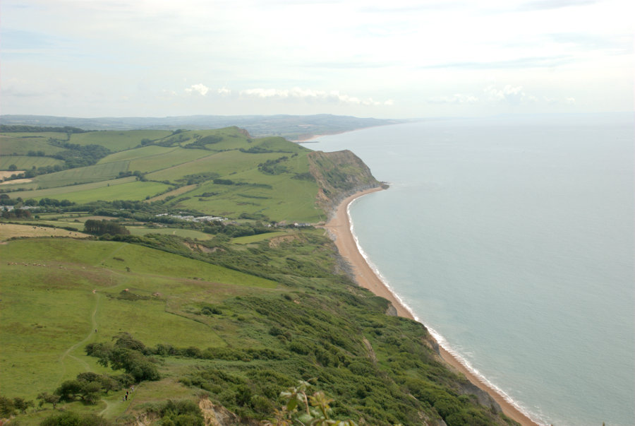
Then there is another short uphill stretch, with steps, until I arrive at the summit at last. The top view below is to the east and the bottom picture is to the west.


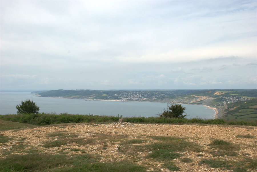
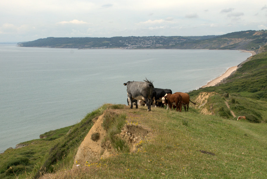
In the bottom picture Lyme Regis is the cluster of buildings in the centre of the picture with Charmouth on the right. Charmouth is my next target.

After a short sitdown to eat lunch I set off again and pass some locals who are admiring the view.

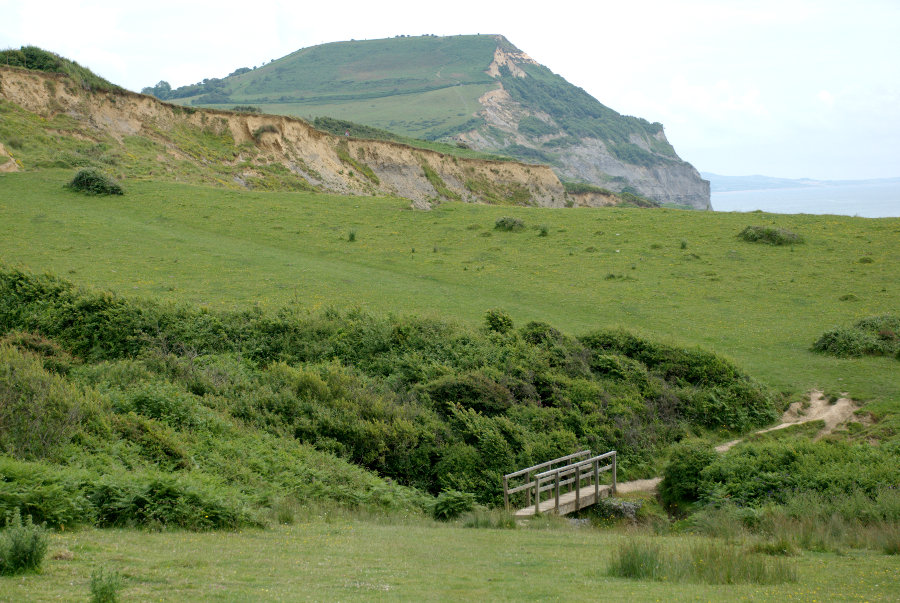
 So is it now all downhill? If only! The path goes steeply down hill to the bottom of a valley and just as steeply up again to the next ridge and then down and up again ad infinitum. I am, however, slowly leaving Golden Cap behind.

These repetitive steep slopes are making me very, very weary and I'm beginning to realise that I'll be lucky to make it to Charmouth let alone Lyme Regis so I decide I'll have to stop at Charmouth and get the bus back. smilies smilies smilies So much for ambition.

I had walked about six miles but the ups and downs would effectively double that in terms of energy used. What a wimp! Perhaps I should modify that a little. What an old wimp!

I finally reach Stonebarrow Lane and set off down towards Charmouth.

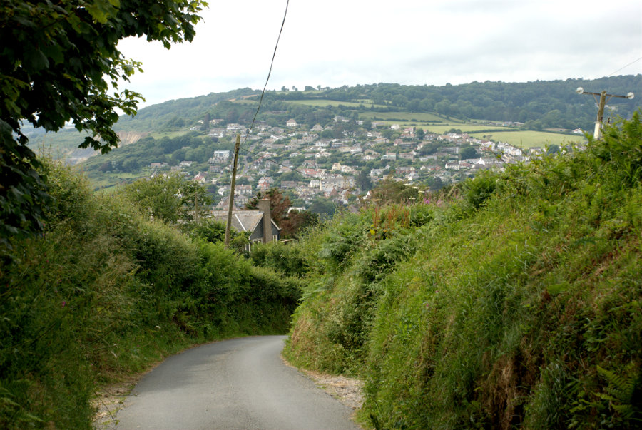
I finally reach the village but still have to walk uphill for some distance to reach the bus stop where I took this photograph looking back to where I'd come from.

I clambered wearily onto the bus and finally arrived back at my hotel for a rest. I'm going to need that rest for tomorrow.

(Tomorrow, Tuesday: Musical cliffs, a water wheel and a Tudor museum.)